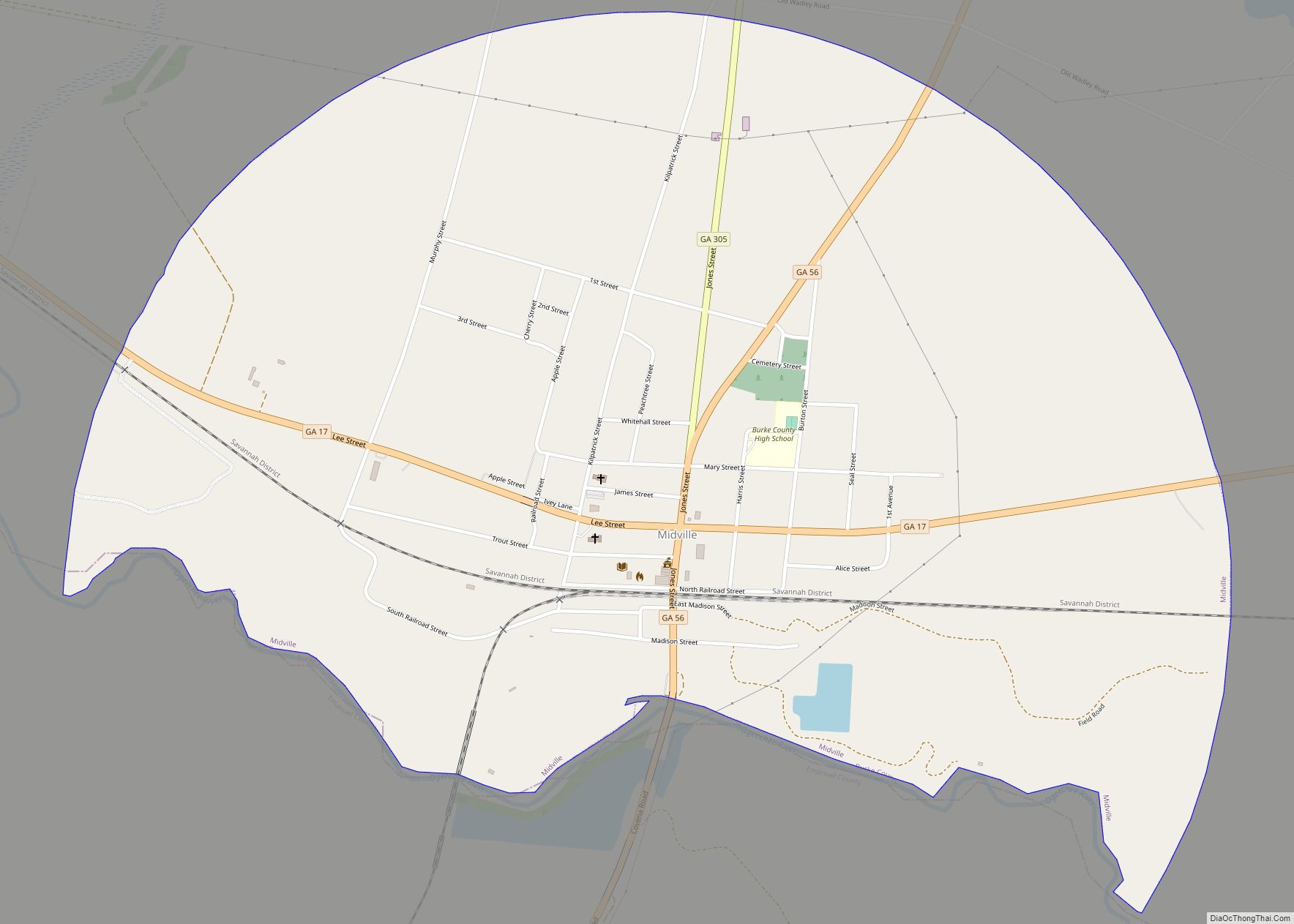
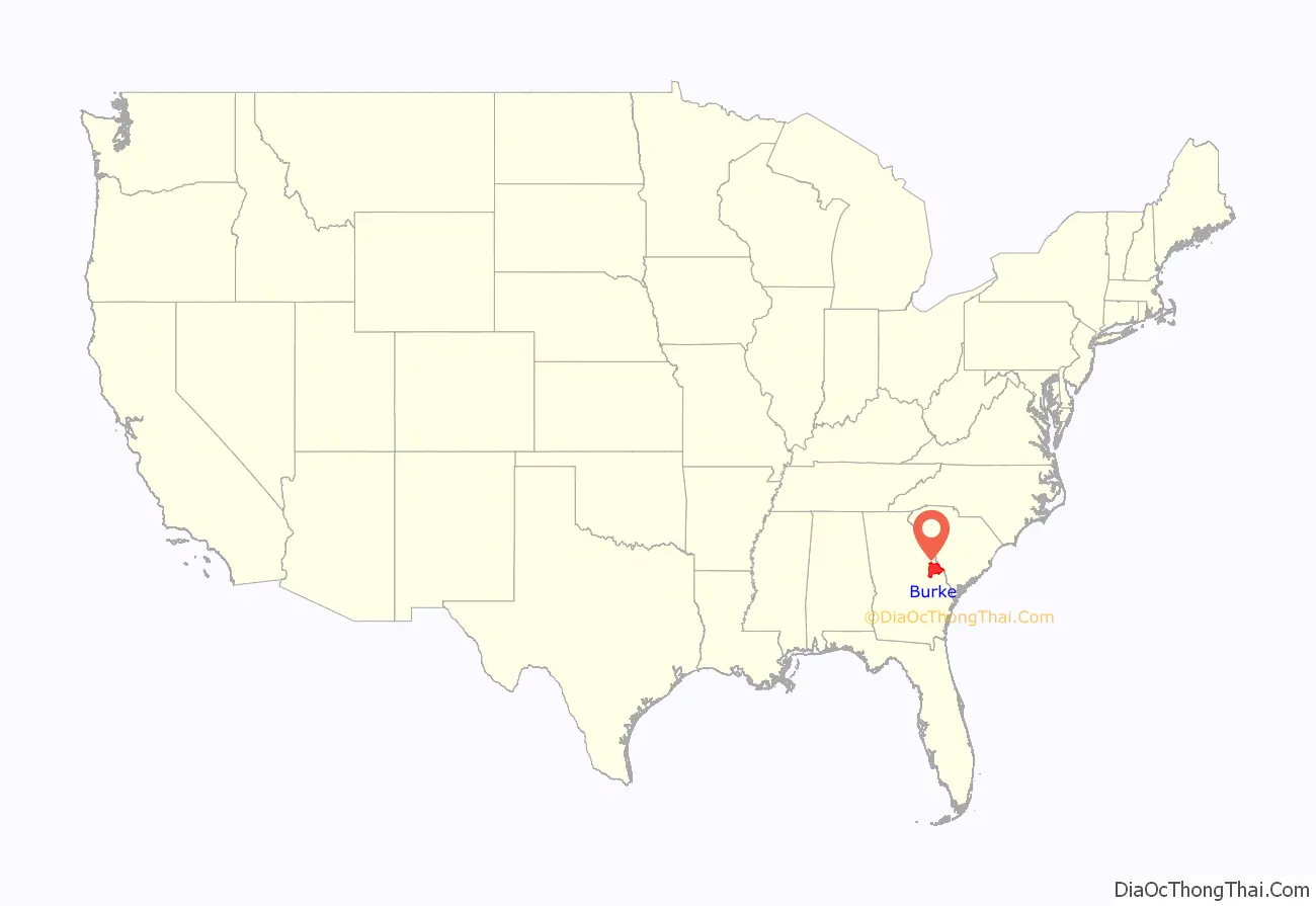
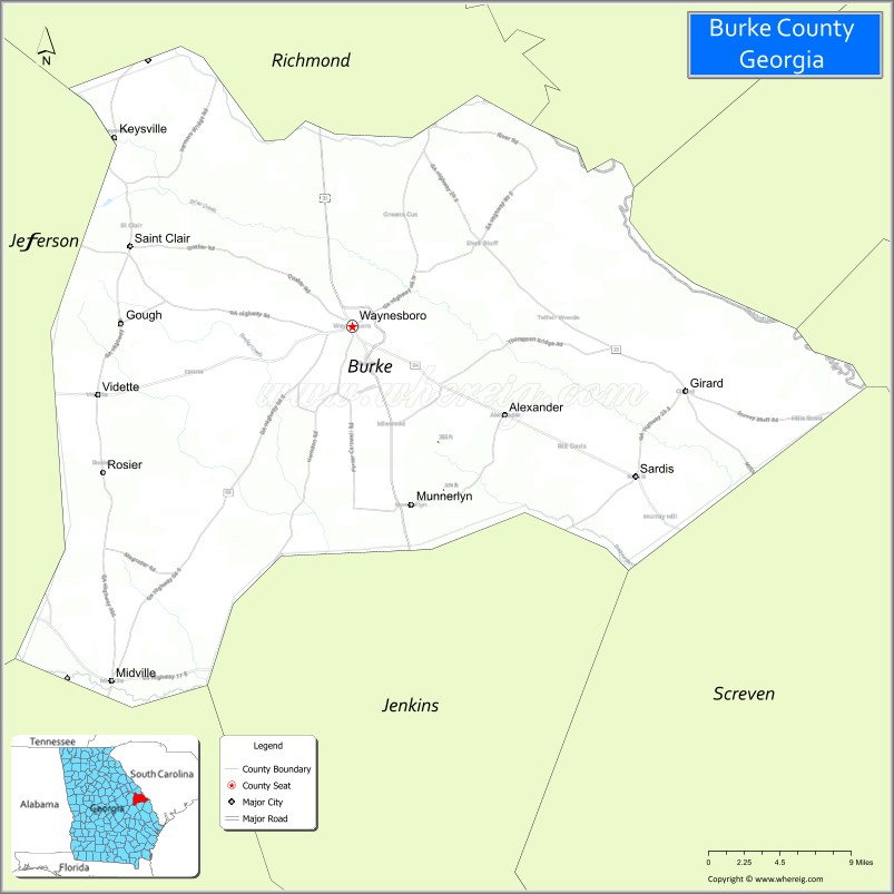
Burke County is a county located along the eastern border of the U.S. state of Georgia in the Piedmont. As of the 2020 census, the population was 24,596. The county seat is Waynesboro.
Burke County is part of the Augusta-Richmond County, GA-SC Metropolitan Statistical Area.
| Name: | Burke County |
|---|---|
| FIPS code: | 13-033 |
| State: | Georgia |
| Founded: | 1777 |
| Named for: | Edmund Burke |
| Seat: | Waynesboro |
| Largest city: | Waynesboro |
| Total Area: | 835 sq mi (2,160 km²) |
| Land Area: | 827 sq mi (2,140 km²) |
| Total Population: | 24,596 |
| Population Density: | 27/sq mi (10/km²) |
| Time zone: | UTC−5 (Eastern) |
| Summer Time Zone (DST): | UTC−4 (EDT) |
| Website: | www.burkecounty-ga.gov |
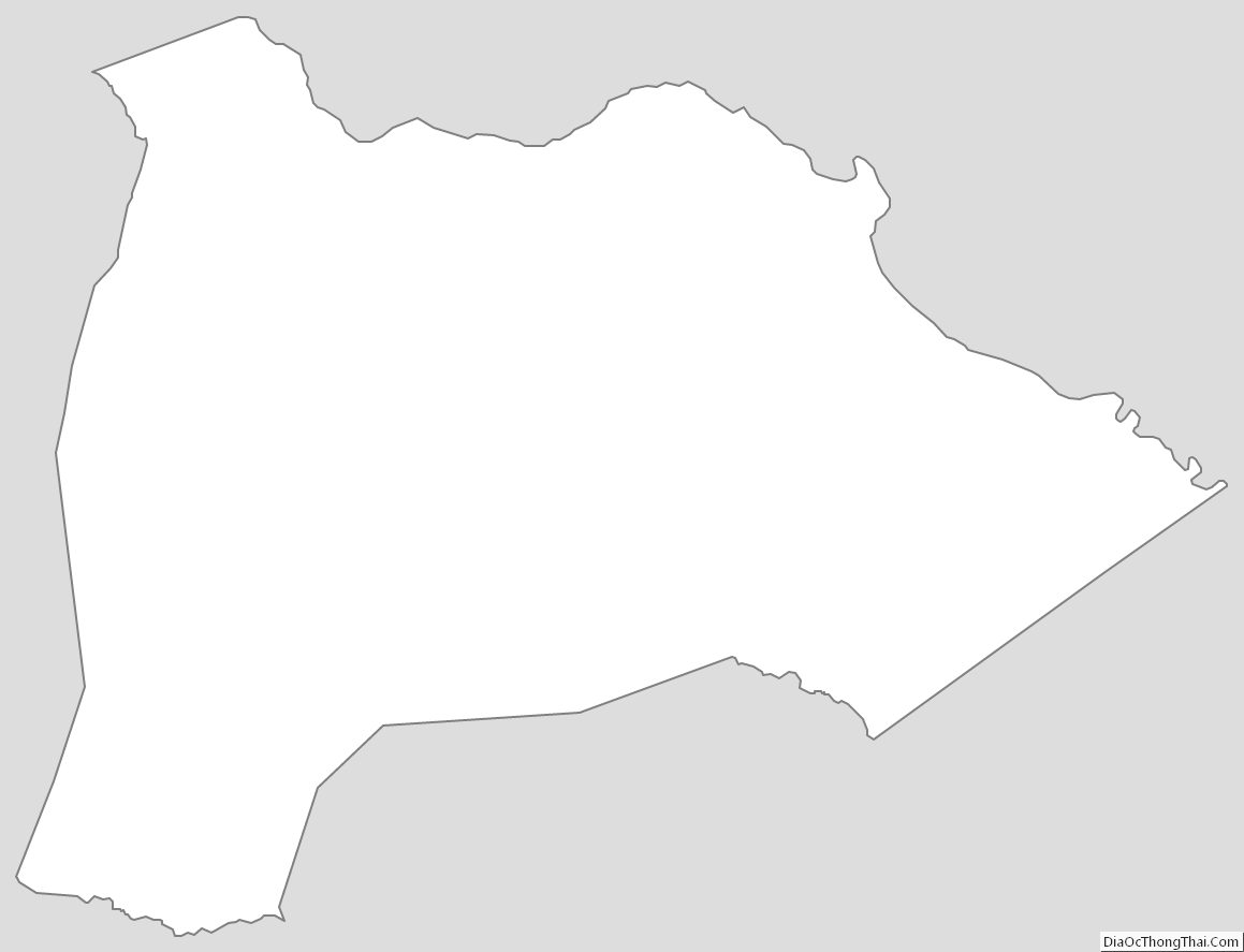
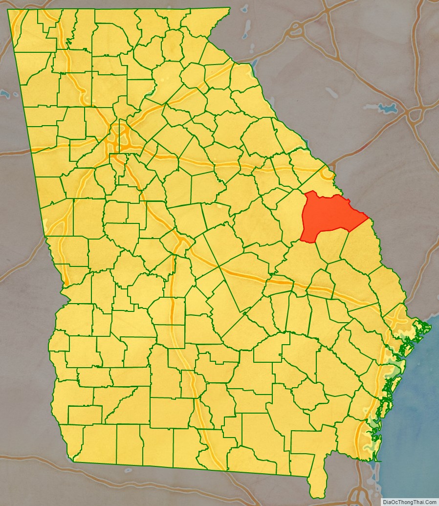
Burke County location map. Where is Burke County?
History
Burke County is an original county of Georgia, created February 5, 1777, and named for English political writer, Edmund Burke, a Member of Parliament in the Whig Party who favored conciliation with the colonies. In 1779, Col. John Twiggs and brothers Col. William Few and Benjamin Few, along with 250 men, defeated British in the Battle of Burke Jail.
Burke County is located within the CSRA (the Central Savannah River Area). During the antebellum period, it was developed by slave labor for large cotton plantations. The county was majority African American in population in this period, as slaveholders wanted high numbers of slaves for laborers to cultivate and process cotton.
The military tradition continued during the American Civil War, when Burke County provided volunteers for numerous units: the 2nd Regiment Georgia Infantry Company D (Burke Sharpshooters), 3rd Regiment Georgia Infantry Company A (Burke Guards), 32nd Regiment Georgia Infantry Company C (Williams Volunteers), 32nd Regiment Georgia Infantry Company K (Alexander Greys), 48th Regiment Georgia Infantry Company D (Burke Volunteers), Cobb’s Legion Infantry company E (Poythress Volunteers), and the Cobb’s Legion Cavalry Company F (Grubb’s Hussars).
Agriculture continued as the basis of the economy for decades after the American Civil War, when most freedmen worked as sharecroppers or tenant farmers. Cotton was the major commodity crop. In the early 20th century, mechanization of agriculture caused many African-American farm workers to lose their jobs.
As can be seen from the census tables below, the county lost population from 1910 to 1920, and from 1930 to 1970. Part of the decline was related to the Great Migration, as millions of African Americans left the rural South and Jim Crow oppression for jobs and opportunities in industrial cities of the Midwest, North. From World War II on, primary migration destinations were West Coast cities because of the buildup of the defense industry. In addition, whites left rural areas for industrial jobs in the North, in cities such as Chicago and Detroit.
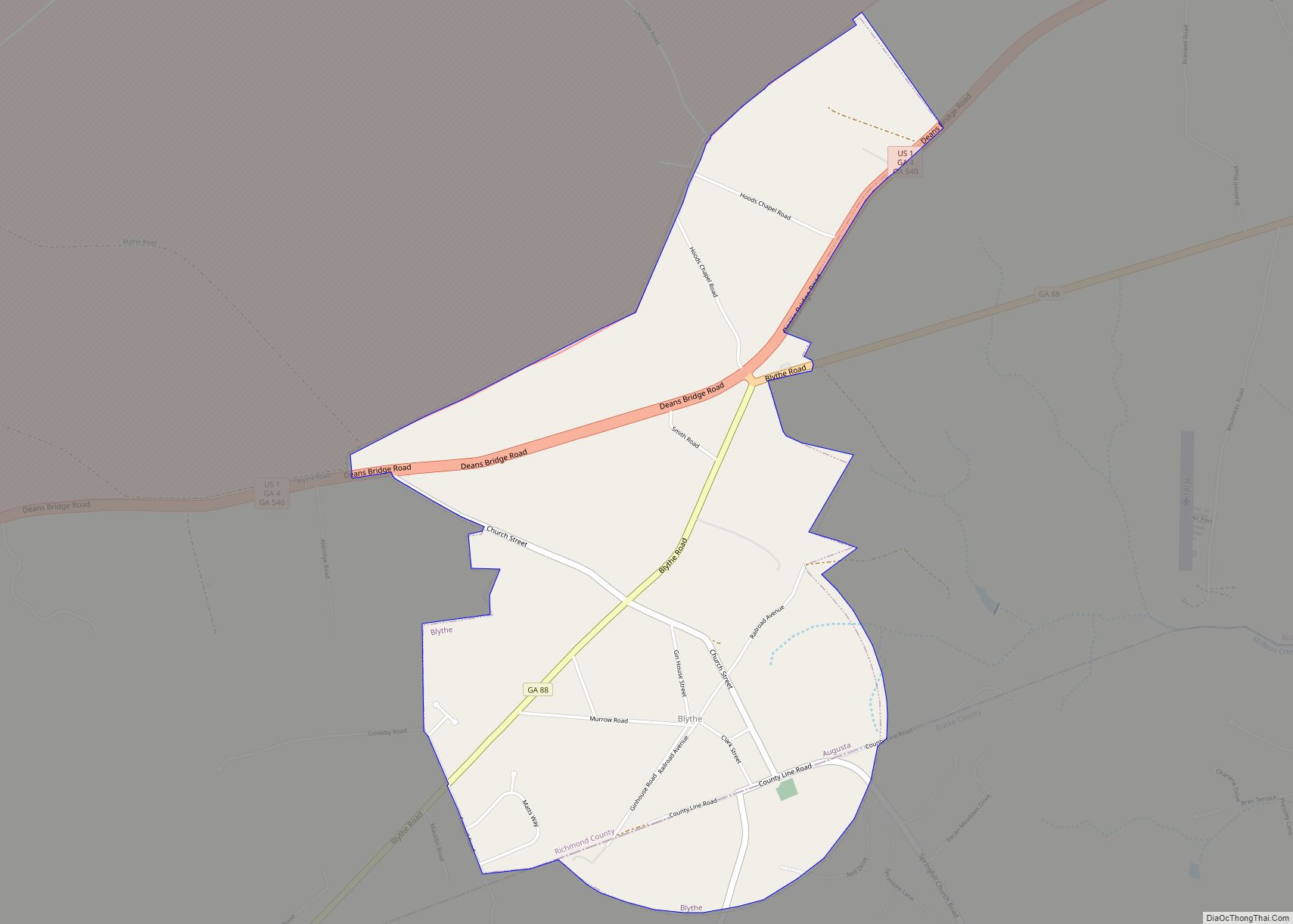
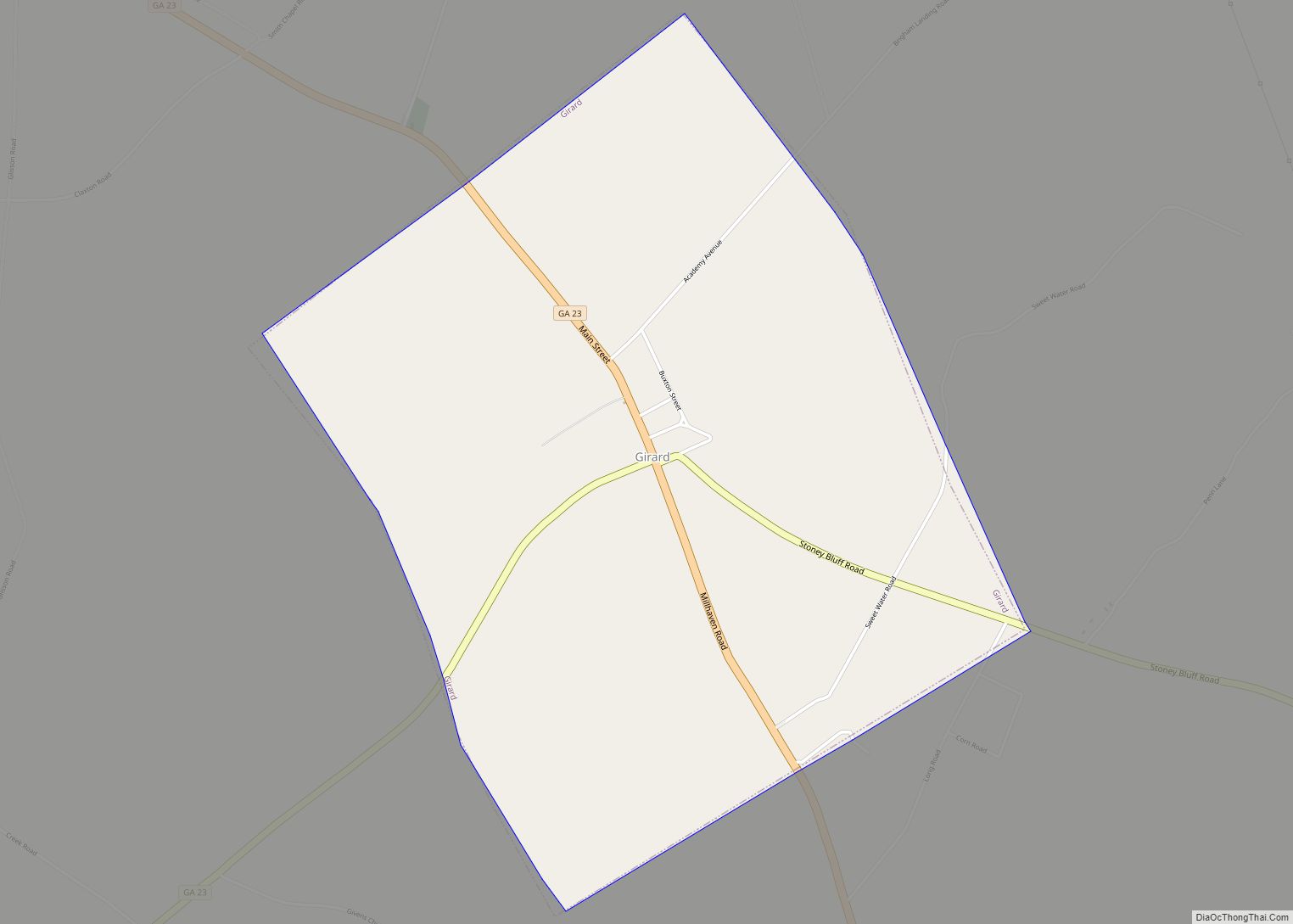
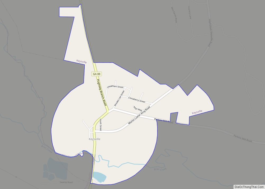
Burke County Road Map
Geography
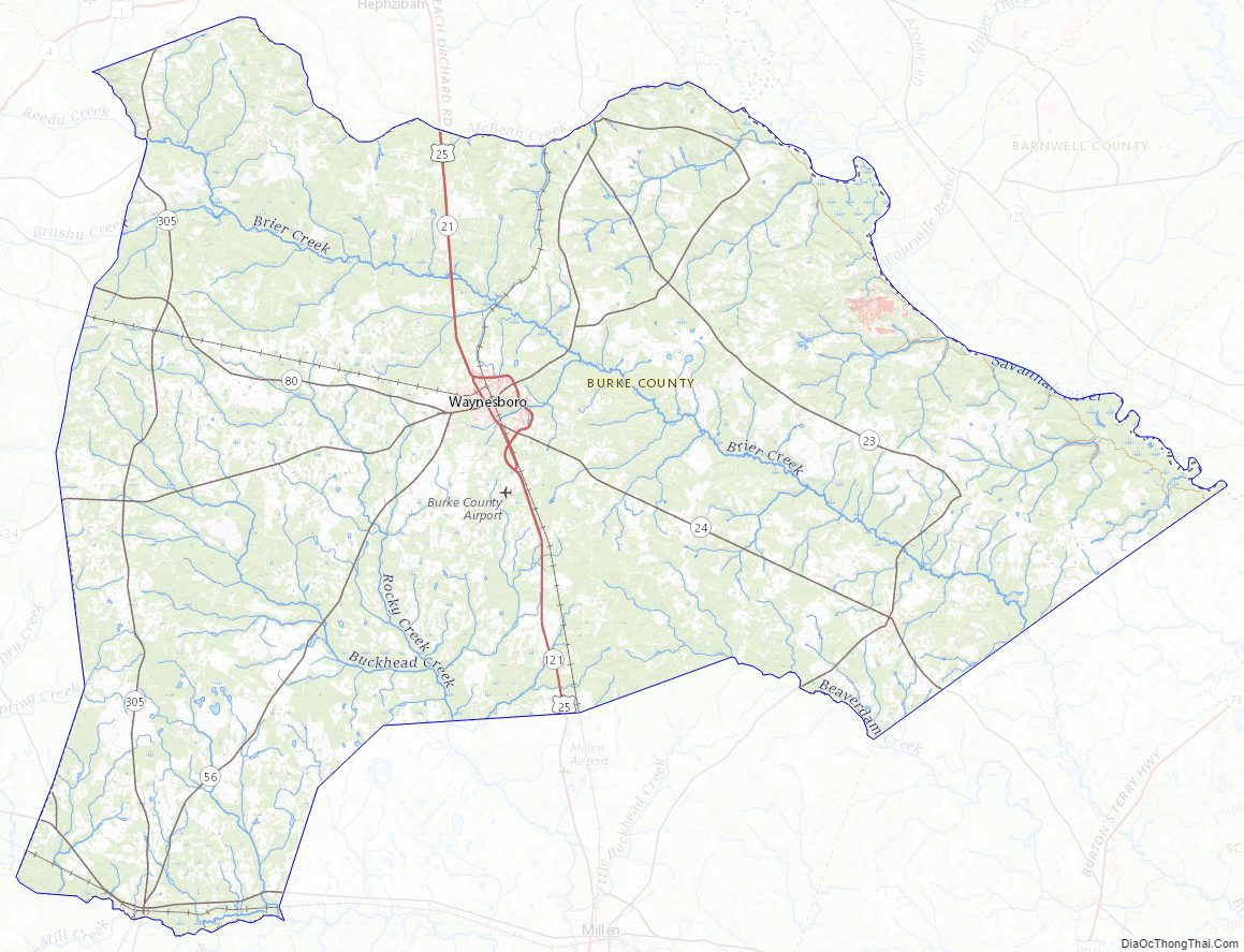
According to the U.S. Census Bureau, the county has a total area of 835 square miles (2,160 km), of which 827 square miles (2,140 km) is land and 8.0 square miles (21 km) (1.0%) is water. It is the second-largest county by area in Georgia.
The southern half of Burke County, defined by a line running along State Route 80 to Waynesboro, then southeast to east of Perkins, is located in the Upper Ogeechee River sub-basin of the Ogeechee River basin. North of Waynesboro, and bordered on the north by a line running from Keysville southeast to Girard, the territory is part of the Brier Creek sub-basin of the Savannah River basin. The most northern sliver of Burke County is located in the Middle Savannah River sub-basin of the same Savannah River basin.
Major highways
- U.S. Route 25
U.S. Route 25 Bypass- State Route 17
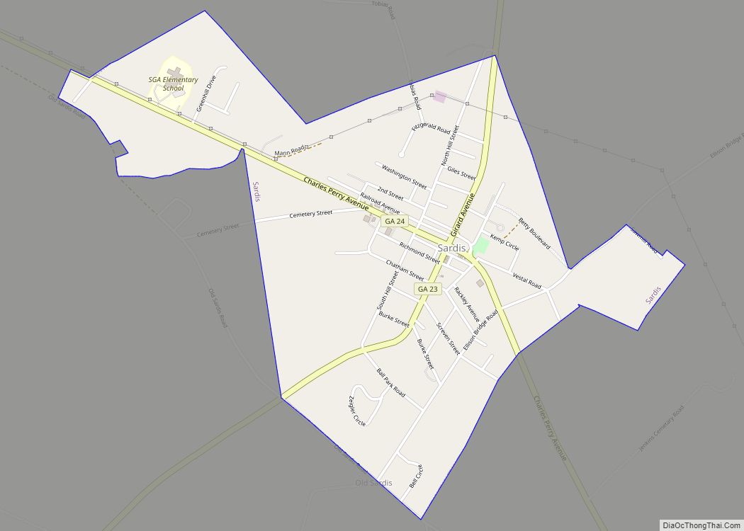
- State Route 23
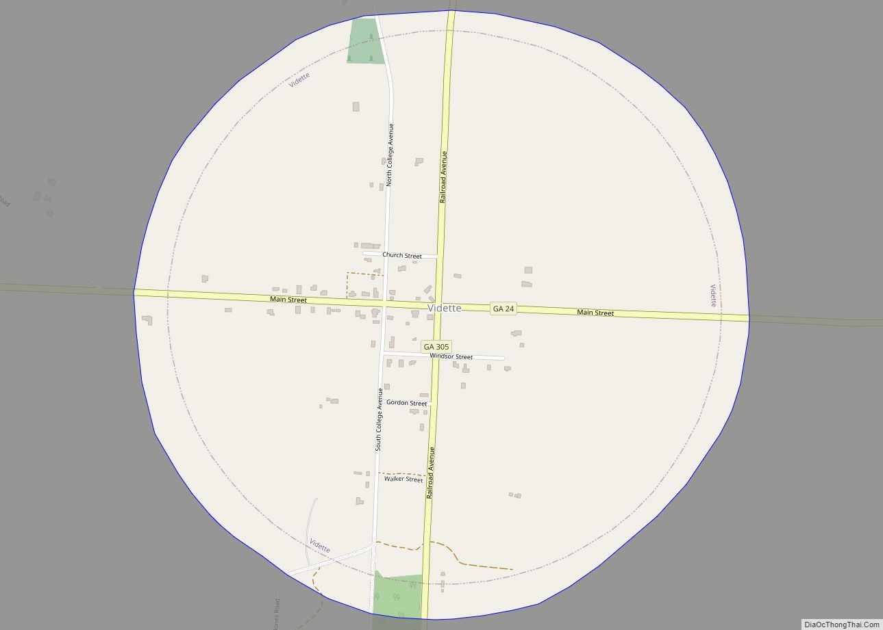
- State Route 24
- State Route 56
- State Route 56 Spur
- State Route 78
- State Route 80
- State Route 88
- State Route 121
- State Route 121 Bypass
- State Route 305
- Savannah River Parkway
Adjacent counties
- Richmond County (north)
- Aiken County, South Carolina (northeast)
- Barnwell County, South Carolina (east-northeast)
- Allendale County, South Carolina (east)
- Screven County (southeast)
- Jenkins County (south)
- Emanuel County (southwest)
- Jefferson County (west)
Burke County Topographic Map
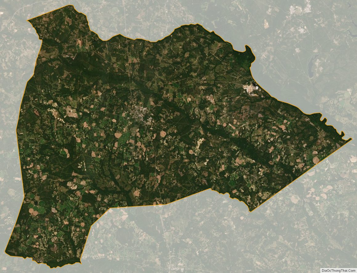
Burke County Satellite Map
Burke County Outline Map