Butte County is a rural county located in the U.S. state of Idaho. As of the 2020 census, the population was 2,574, making it the third-least populous county in Idaho. Its county seat and largest city is Arco. The county was established in 1917 from parts of Bingham, Blaine, and Jefferson counties. The county gained territory in the Clyde area from Custer County in 1937 to reach its present boundary.
| Name: | Butte County |
|---|---|
| FIPS code: | 16-023 |
| State: | Idaho |
| Founded: | February 6, 1917 |
| Named for: | Big Southern Butte |
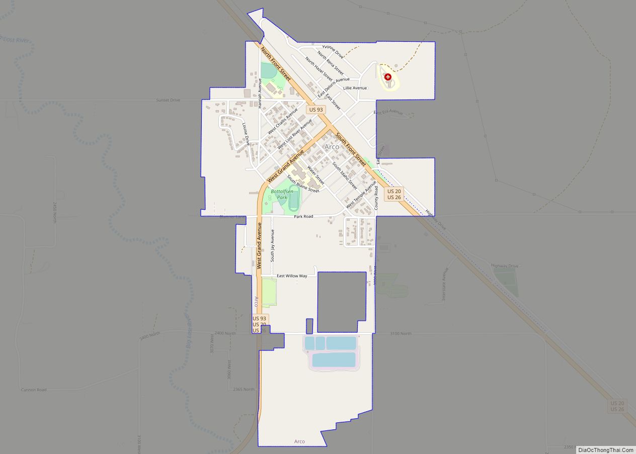
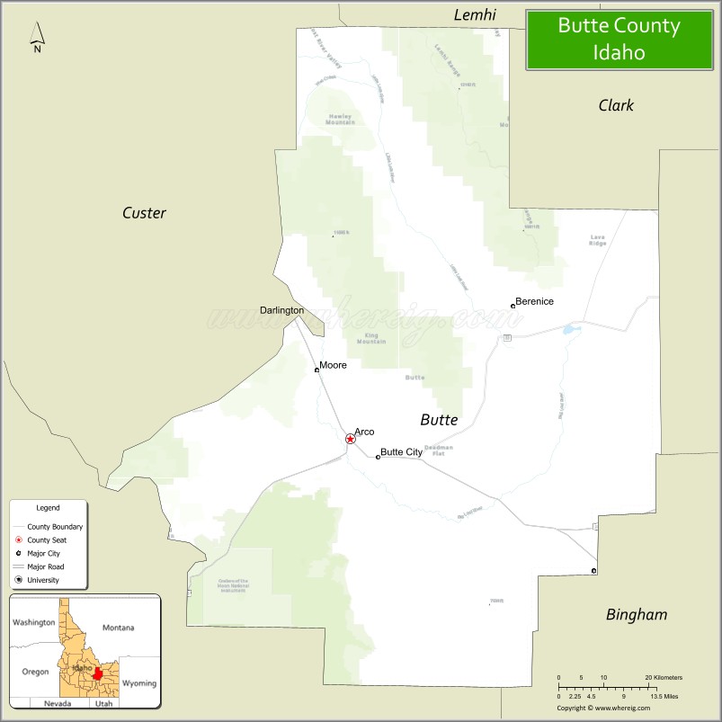
| Seat: | Arco |
| Largest city: | Arco |
| Total Area: | 2,234 sq mi (5,790 km²) |
| Land Area: | 2,232 sq mi (5,780 km²) |
| Total Population: | 2,574 |
| Population Density: | 1.3/sq mi (0.5/km²) |
| Time zone: | UTC−7 (Mountain) |
| Summer Time Zone (DST): | UTC−6 (MDT) |
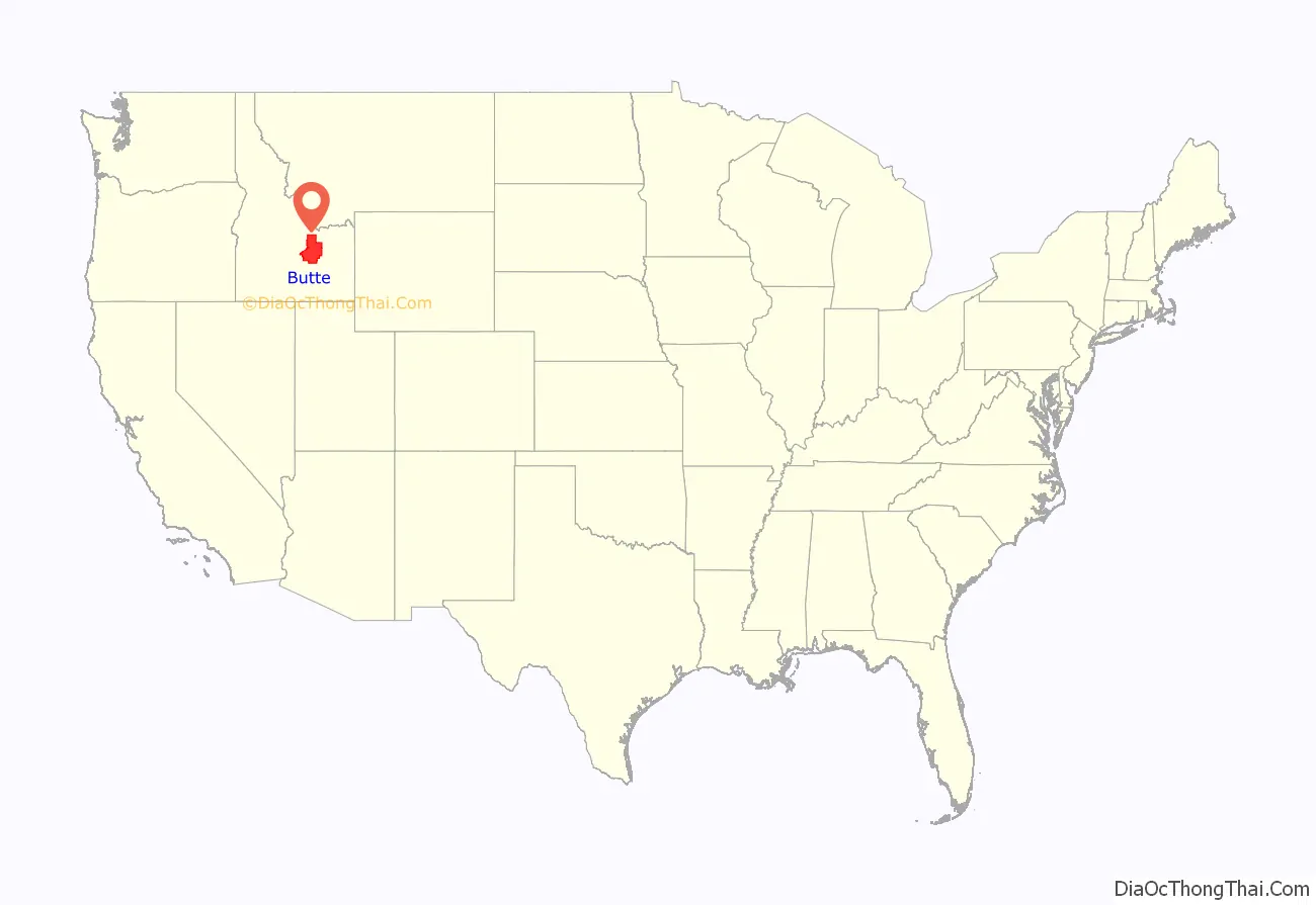
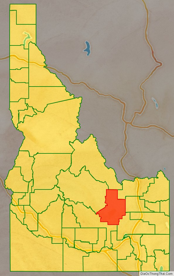
Butte County location map. Where is Butte County?
History
The first settlement in Butte County occurred about four miles (6 km) south of the present town site of Arco in 1878. The settlement was then known by the names of Kennedy Crossing and Lower Crossing of the Lost River and was located in eastern Alturas County. Once the post office was established in 1879, the settlement became known as Arco.
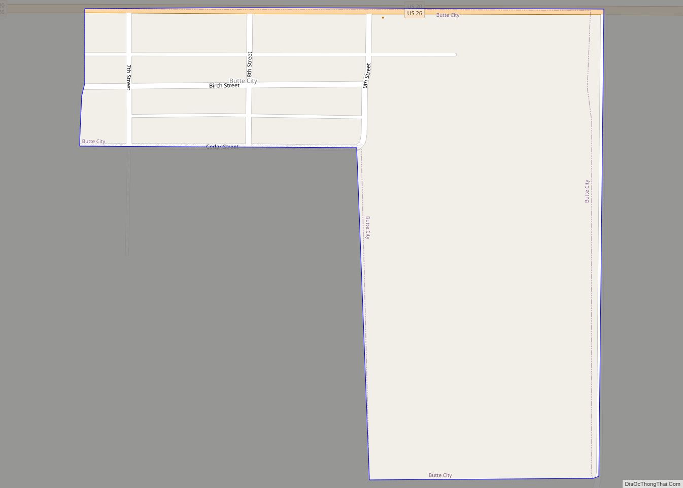
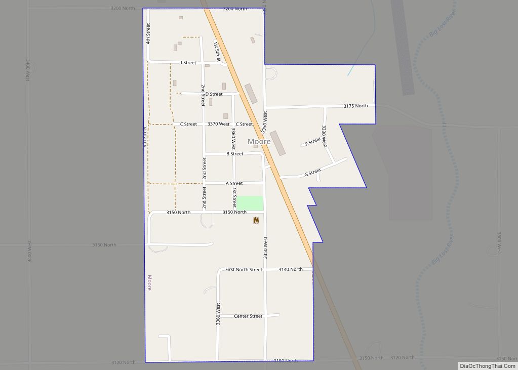
The ghost town of Era was settled in 1885. Settlement of Antelope, Martin and Island (now Moore) also occurred prior to 1890. Alturas county established precincts for all five Butte County settlements existing at the 1890 census containing a combined population of 389. The settlements became part of Blaine County in 1895. Blaine County created precincts for all of the settlements except Martin and added a precinct for Clyde. At the 1900 census, the five precincts totaled 714 residents increasing to 1787 in 1910. Construction of a railroad from Blackfoot to Mackay resulted in relocation of the town of Arco to its present site in 1901.
Butte County is included in the Idaho Falls, ID Metropolitan Statistical Area. Much of the eastern part of the county is the vast Idaho National Laboratory, which extends eastward into neighboring counties.
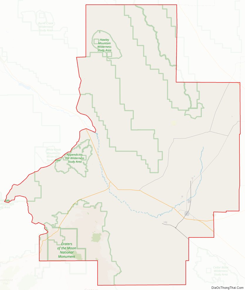
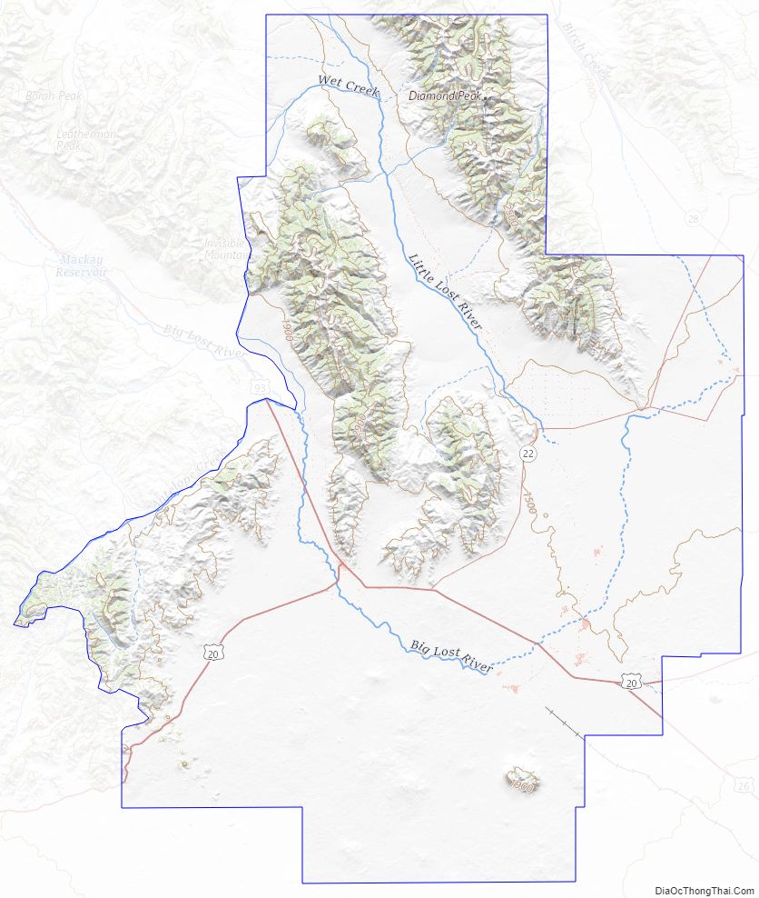
Butte County Road Map
Geography
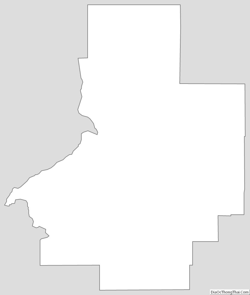
According to the U.S. Census Bureau, the county has a total area of 2,234 square miles (5,790 km), of which 2,232 square miles (5,780 km) is land and 2.0 square miles (5.2 km) (0.1%) is water.
The Little Lost River is located in Butte County. Its waters, along with the Big Lost River, disappear from the surface to flow underground into the Snake River Plain aquifer in Butte County.
The county was named for the volcanic buttes that rise from the desert plain; the largest is Big Southern Butte, located in the southern part of the county. It rises 2,500 feet (760 m) above the desert floor and was used as a landmark by pioneers.
The southwestern portion of the county includes the visitor center at the Craters of the Moon National Monument and Preserve, which extends south & west into three other counties.
Adjacent counties
- Custer County – northwest
- Lemhi County – northwest
- Clark County – northeast
- Jefferson County – east
- Bingham County – southeast
- Blaine County – southwest
Highways
- US 20
- US 26
- US 93
- SH-22
- SH-33
National protected areas
- Caribou-Targhee National Forest (part)
- Craters of the Moon National Monument and Preserve (part)
- Salmon-Challis National Forest (part)
Butte County Topographic Map
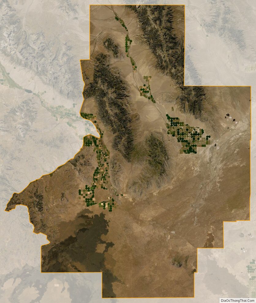
Butte County Satellite Map
Butte County Outline Map