Jefferson County is a county located in the U.S. state of Idaho. As of the 2020 Census, the county’s population was 30,891. In the 2010 census, the population was 26,140. The county seat and largest city is Rigby. The county was established in 1913 and named after Thomas Jefferson, the third U.S. President. Jefferson County is part of the Idaho Falls, ID Metropolitan Statistical Area.
| Name: | Jefferson County |
|---|---|
| FIPS code: | 16-051 |
| State: | Idaho |
| Founded: | February 18, 1913 |
| Named for: | Thomas Jefferson |
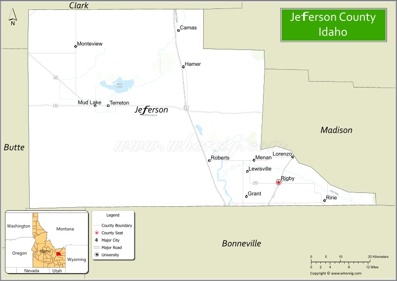
| Seat: | Rigby |
| Largest city: | Rigby |
| Total Area: | 1,106 sq mi (2,860 km²) |
| Land Area: | 1,094 sq mi (2,830 km²) |
| Total Population: | 30,891 |
| Population Density: | 28.24/sq mi (10.90/km²) |
| Time zone: | UTC−7 (Mountain) |
| Summer Time Zone (DST): | UTC−6 (MDT) |
| Website: | www.co.jefferson.id.us |
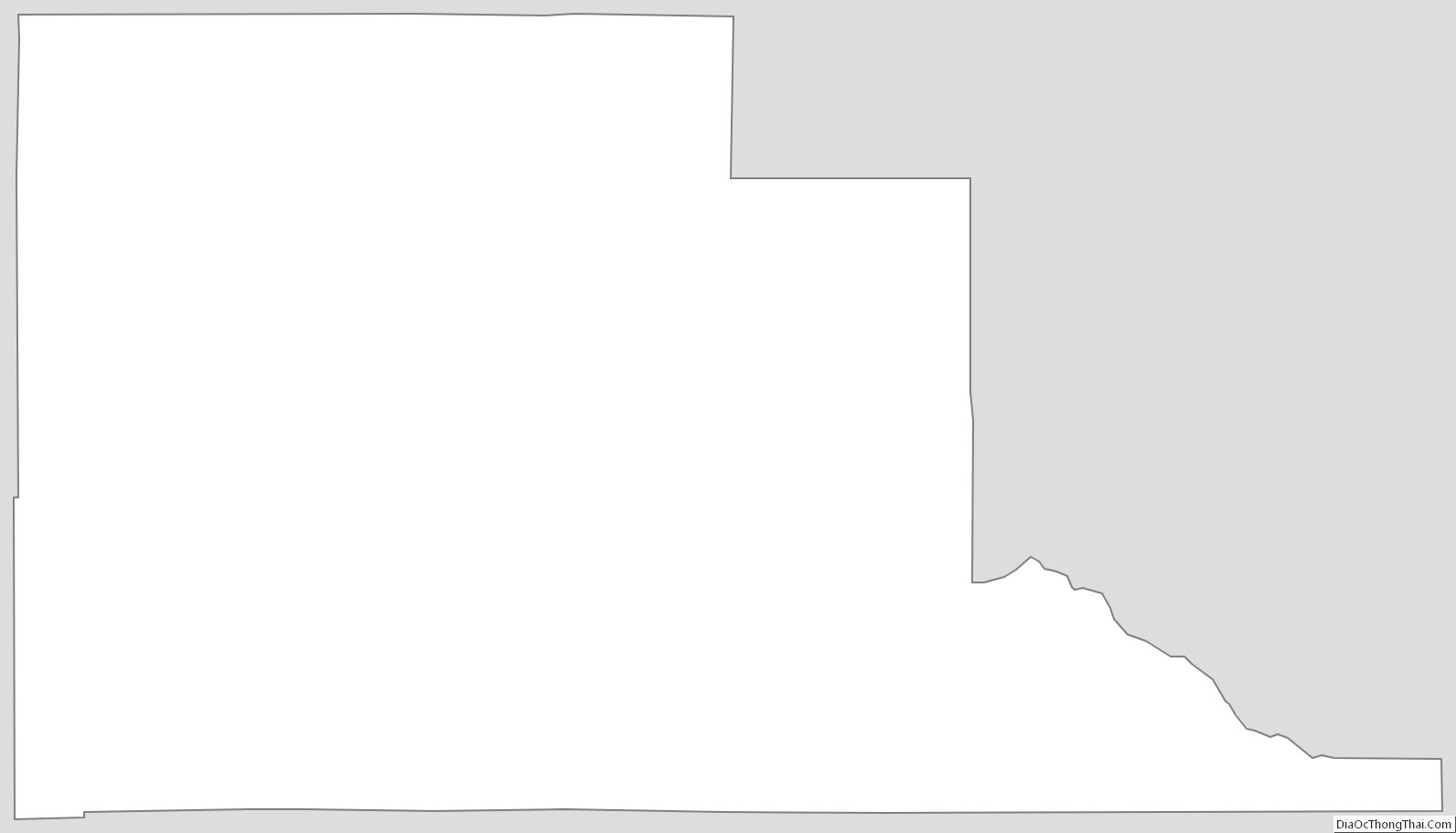
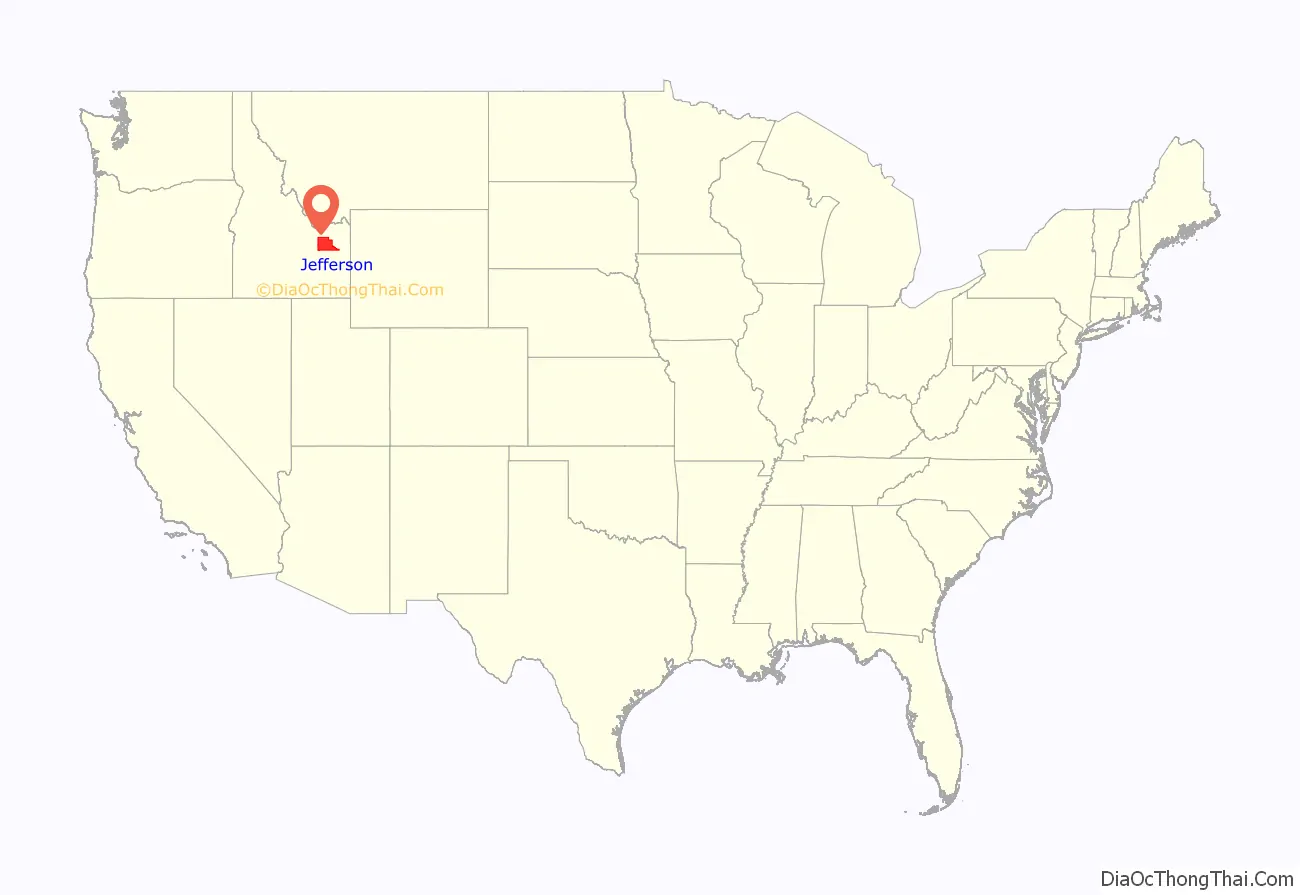
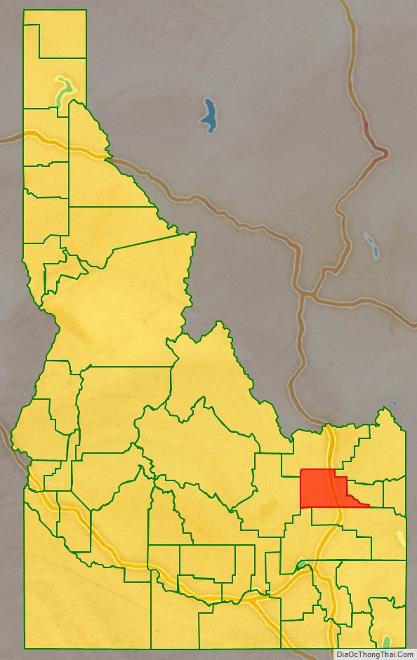
Jefferson County location map. Where is Jefferson County?
History
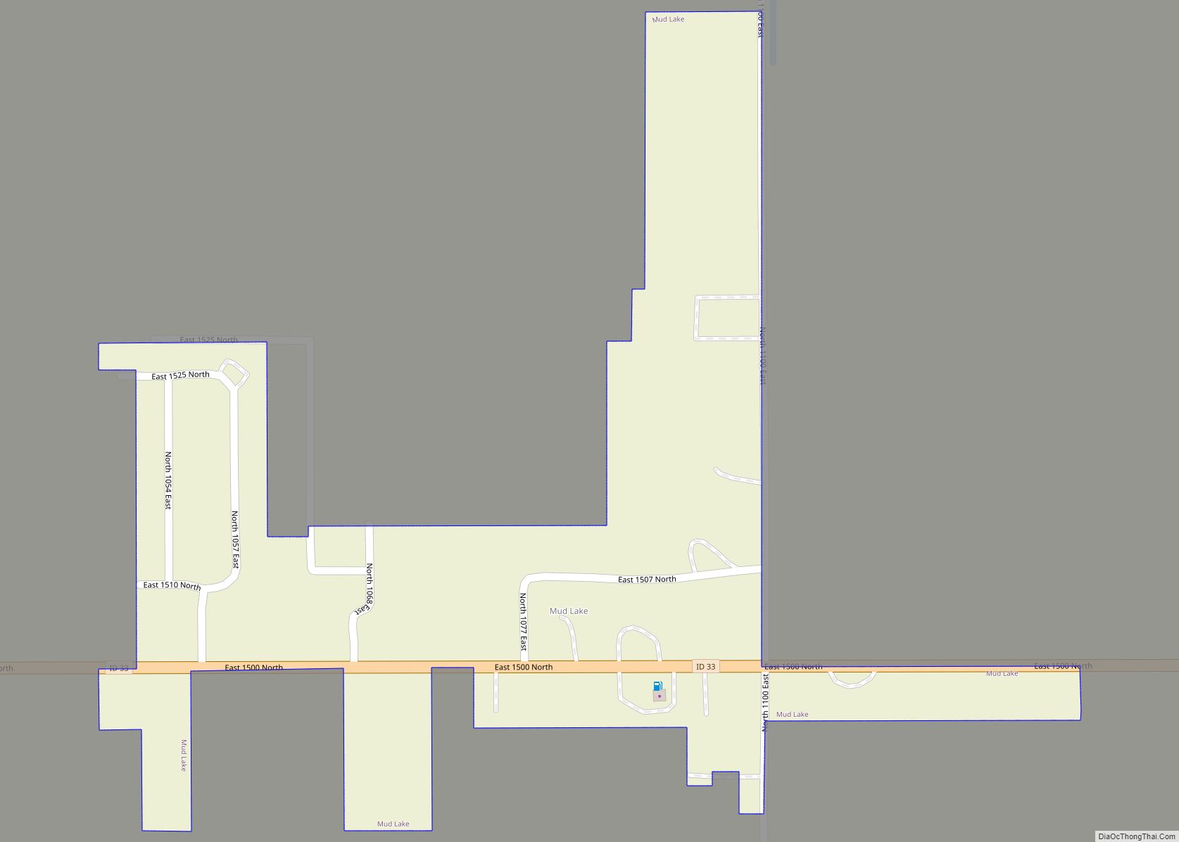
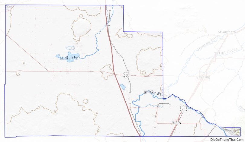
The Salt Lake City to Virginia City Stagecoach was established through the area in 1864. Stops were established at Market Lake (Roberts), Sand Hole (Hamer), and Camas. Small settlements grew up around the stagecoach stops with the most significant development occurring at Market Lake. The county’s first post office was established at Market Lake on July 29, 1868, when the post office at Eagle Rock was relocated there. Initial settlement at Mud Lake also originated in 1868.
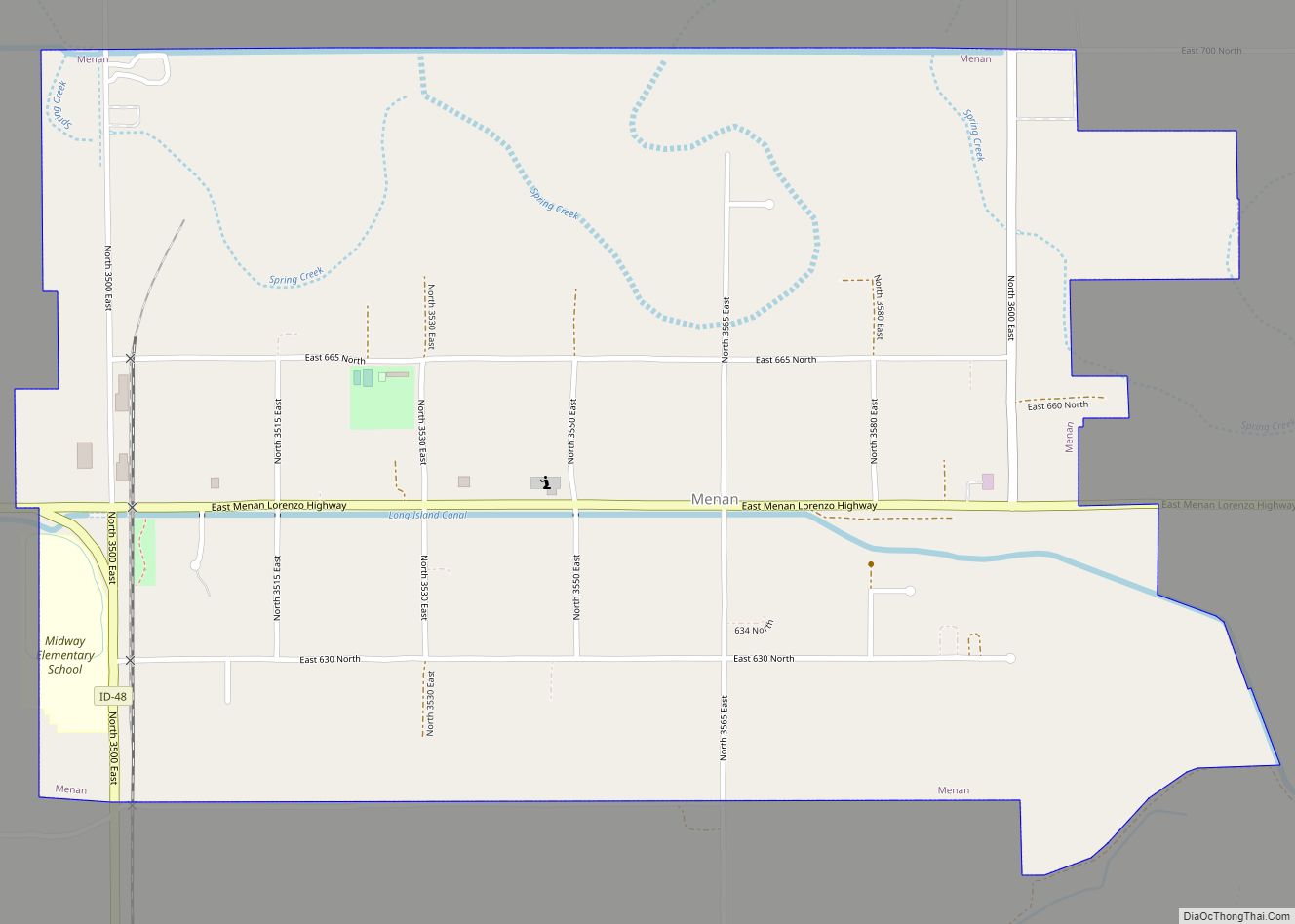
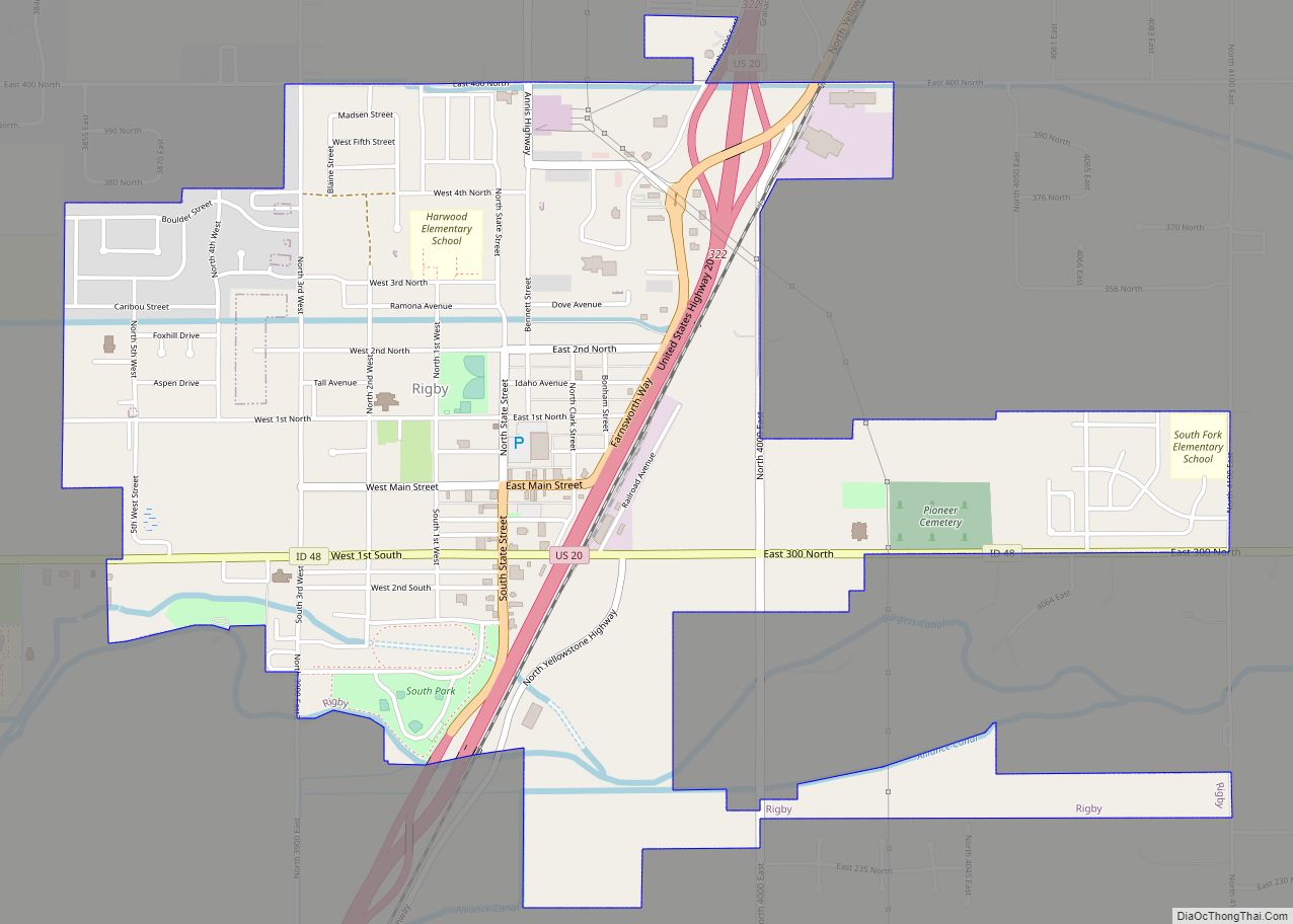
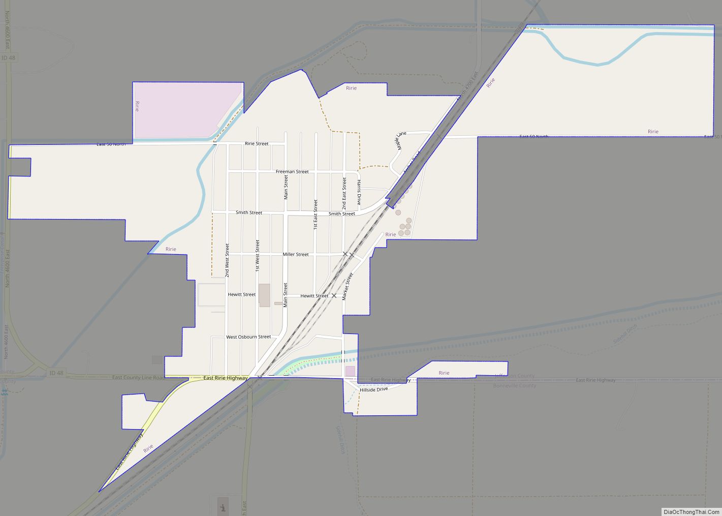
The Utah and Northern Railway reached Camas on July 3, 1879, bringing with it a new wave of settlement, particularly at Camas and Market Lake. Mormon settlement of the county began when John R Poole settled the Menan area in April, 1879 with the settlement initially named Poole’s Island. Settlement followed at Lewisville in 1882, Rigby in 1883 and Ririe in 1888. The Camas and Market Lake precincts are the first to emerge in census data under Bingham County in 1890. At that point, 379 residents were enumerated in the Camas precinct and Market Lake counted 218. By the 1900 census, precincts were added for Lewisville, Menan, Rigby, and Rudy (located between Ririe and Rigby). Together with Camas and Market Lake precincts, they contained a population of 3,046. By 1910 there were 10 precincts that would become part of Jefferson County three years later with additional precincts added for Grant, Hamer, Labelle, and Lorenzo. The 1910 census population for those precincts was 5,535.
A common characteristic of Jefferson County’s early settlements was their reliance upon a series of canals to deliver water from the Snake River. The first of these systems commenced at Menan in 1880 with construction of the Long Island Canal. The Butte-Market Lake Canal originated in 1884 with construction starting on the big Feeder Canal in 1895. The Owlsey Canal in western Jefferson County had its origins April 13, 1909.
At the time of the first settlement in 1864, the territory east of the Snake River was part of Oneida County with the remainder being part of Alturas County. Mud Lake became the defining point for Oneida County’s boundary with Alturas County in 1877 with a portion of the western boundary changed to a line drawn north from a point on the Snake River due south of the “sink of Camas Creek”. The change transferred settlements at Camas and Market Lake to Oneida County. Bingham County was created in 1885 from Oneida County with no change in the boundary of Alturas until 1889 when the rest of the Mud Lake area was transferred to Bingham County. All of present Jefferson County became part of Fremont at its creation in 1893. After its creation in 1913, Jefferson County quickly took its present shape in 1917 at the formation of Butte County.
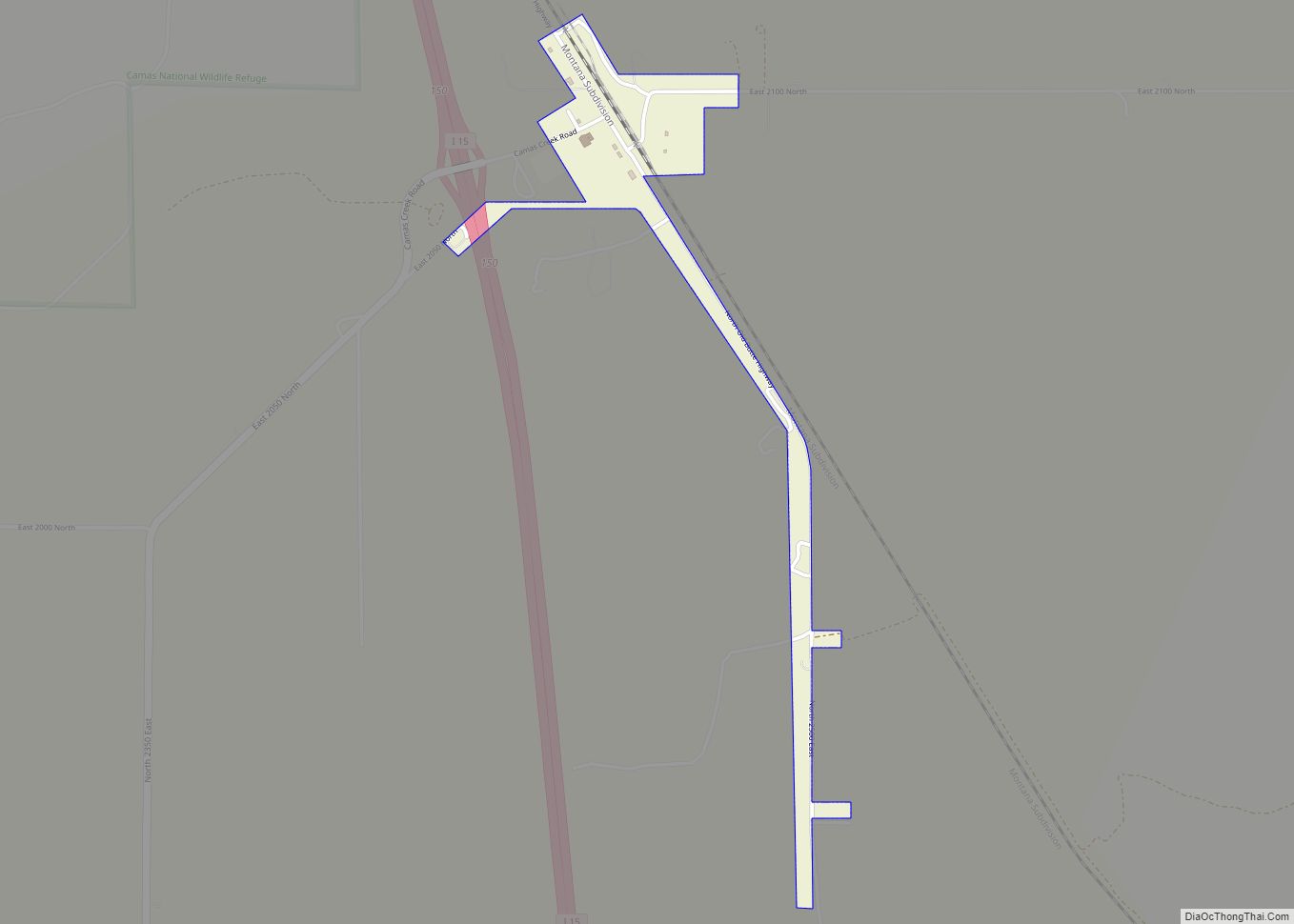
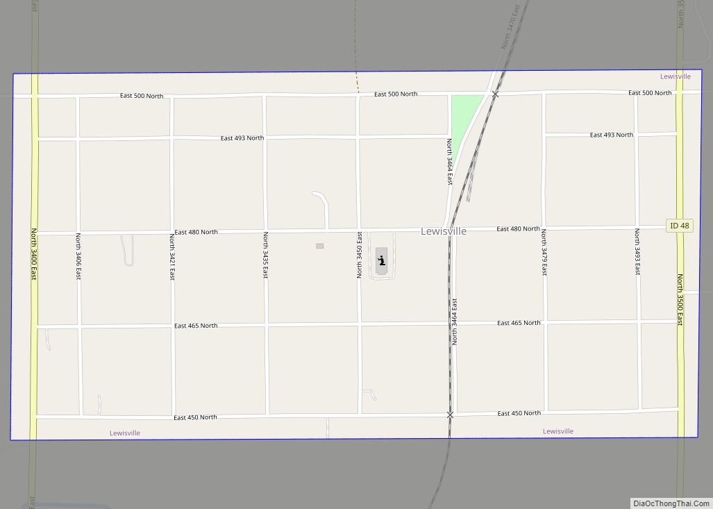
Census data indicates Lewisville became the county’s first incorporated village in 1904. It was followed by Rigby in 1906, Menan in 1907 and Roberts in 1910. Ririe was incorporated by 1920 with Hamer and Mud Lake incorporated after 1950.
Adjacent counties
- Clark County – north
- Fremont County – northeast
- Madison County – east
- Bonneville County – south
- Bingham County – southwest
- Butte County – west
Major highways
- Interstate 15
- US 20
- SH-22
- SH-28
- SH-33
- SH-48
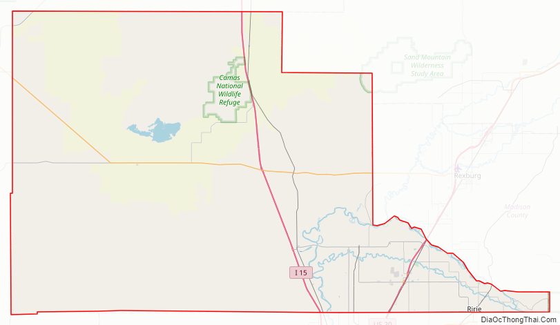
National protected area
- Camas National Wildlife Refuge
- Targhee National Forest (part)
Jefferson County Road Map
Geography
According to the U.S. Census Bureau, the county has a total area of 1,106 square miles (2,860 km), of which 1,094 square miles (2,830 km) is land and 12 square miles (31 km) (1.1%) is water.
Jefferson County Topographic Map
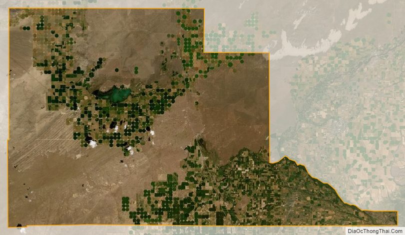
Jefferson County Satellite Map
Jefferson County Outline Map