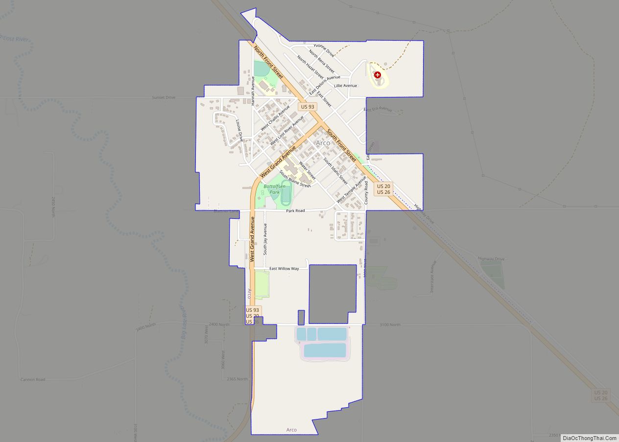
Arco is a city in Butte County, Idaho, United States. The population was 879 as of the 2020 United States census, down from 995 at the 2010 census. Arco is the county seat and largest city in Butte County.
| Name: | Arco city |
|---|---|
| LSAD Code: | 25 |
| LSAD Description: | city (suffix) |
| State: | Idaho |
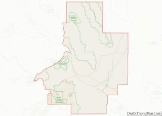
| County: | Butte County |
| Elevation: | 5,325 ft (1,623 m) |
| Total Area: | 1.08 sq mi (2.80 km²) |
| Land Area: | 1.07 sq mi (2.77 km²) |
| Water Area: | 0.01 sq mi (0.03 km²) |
| Total Population: | 879 |
| Population Density: | 810/sq mi (310/km²) |
| ZIP code: | 83213 |
| FIPS code: | 1603160 |
| GNISfeature ID: | 0396049 |
Online Interactive Map
Click on ![]() to view map in "full screen" mode.
to view map in "full screen" mode.
Arco location map. Where is Arco city?


History
Originally known as Root Hog, the original town site was five miles (8 km) south at the junction of two stagecoach lines (Blackfoot-Wood River and Blackfoot-Salmon). A suspension bridge that crossed the Big Lost River funneled traffic through the settlement. The town leaders applied to the U.S. Post Office for the town name of “Junction”.
The Postmaster General thought the name too common and suggested that the place be named Arco for Georg von Arco (1869–1940) of Germany who was visiting Washington, D.C., at the time. Georg von Arco was an inventor and a pioneer in the field of radio transmission and would become the lead engineer of Telefunken, a German company founded in 1903 that produced radio vacuum tubes. The town later moved four miles southeast when the stage station was moved to Webb Springs at Big Southern Butte. When the Oregon Short Line Railroad arrived from Blackfoot in 1901 the stage lines became obsolete and the town of Arco moved northwest to its present site.
Arco was the first community in the world ever to be lit by electricity generated solely by nuclear power. This occurred for about an hour on July 17, 1955, powered by Argonne National Laboratory’s BORAX-III reactor at the nearby National Reactor Testing Station (NRTS), now the Idaho National Laboratory. NRTS made further history on January 3, 1961, when the SL-1 reactor was destroyed through an operator maintenance error, with the ensuing steam explosion causing the deaths of all three personnel present. It was the world’s first and the United States’ only fatal reactor accident.
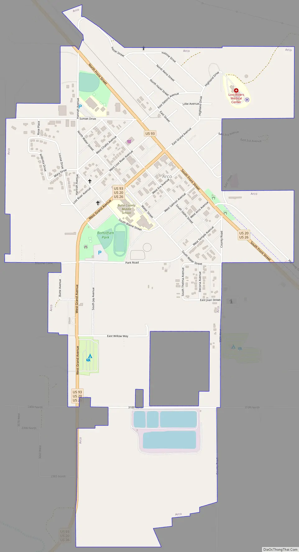
Arco Road Map
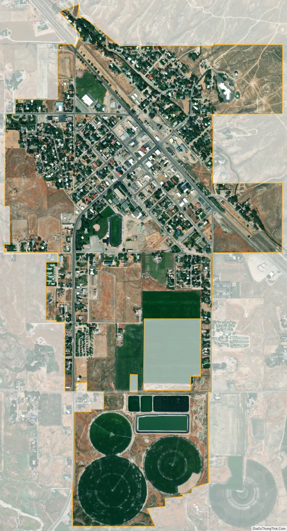
Arco city Satellite Map
Geography
Arco is located along the Big Lost River and is a gateway to the Lost River Range from the Snake River Plain. Craters of the Moon National Monument is located along U.S. Route 20, southwest of the city. The Idaho National Laboratory (INL) is located east of Arco.
Arco Peak, located two mile north of the community at an elevation of 7547 feet, rises 2220 feet above the city.
According to the United States Census Bureau, the city has a total area of 1.07 square miles (2.77 km), of which, 1.06 square miles (2.75 km) is land and 0.01 square miles (0.03 km) is water.
In town, the most striking physical feature is Number Hill, a rocky hill with numbers painted all over it. Butte County High School has a tradition of each class since 1920 painting its graduation year on the face of hill.
Climate
See also
Map of Idaho State and its subdivision:- Ada
- Adams
- Bannock
- Bear Lake
- Benewah
- Bingham
- Blaine
- Boise
- Bonner
- Bonneville
- Boundary
- Butte
- Camas
- Canyon
- Caribou
- Cassia
- Clark
- Clearwater
- Custer
- Elmore
- Franklin
- Fremont
- Gem
- Gooding
- Idaho
- Jefferson
- Jerome
- Kootenai
- Latah
- Lemhi
- Lewis
- Lincoln
- Madison
- Minidoka
- Nez Perce
- Oneida
- Owyhee
- Payette
- Power
- Shoshone
- Teton
- Twin Falls
- Valley
- Washington
- Alabama
- Alaska
- Arizona
- Arkansas
- California
- Colorado
- Connecticut
- Delaware
- District of Columbia
- Florida
- Georgia
- Hawaii
- Idaho
- Illinois
- Indiana
- Iowa
- Kansas
- Kentucky
- Louisiana
- Maine
- Maryland
- Massachusetts
- Michigan
- Minnesota
- Mississippi
- Missouri
- Montana
- Nebraska
- Nevada
- New Hampshire
- New Jersey
- New Mexico
- New York
- North Carolina
- North Dakota
- Ohio
- Oklahoma
- Oregon
- Pennsylvania
- Rhode Island
- South Carolina
- South Dakota
- Tennessee
- Texas
- Utah
- Vermont
- Virginia
- Washington
- West Virginia
- Wisconsin
- Wyoming