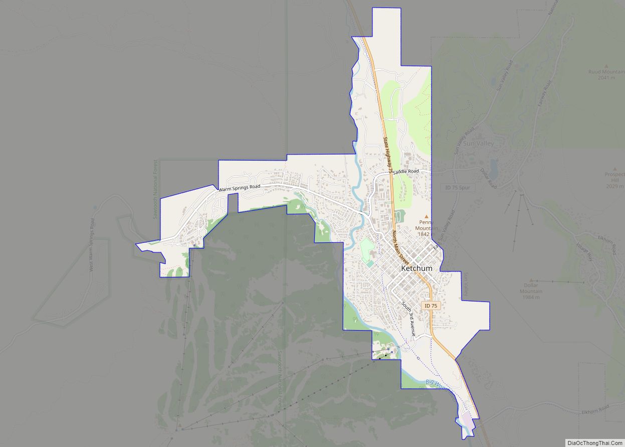
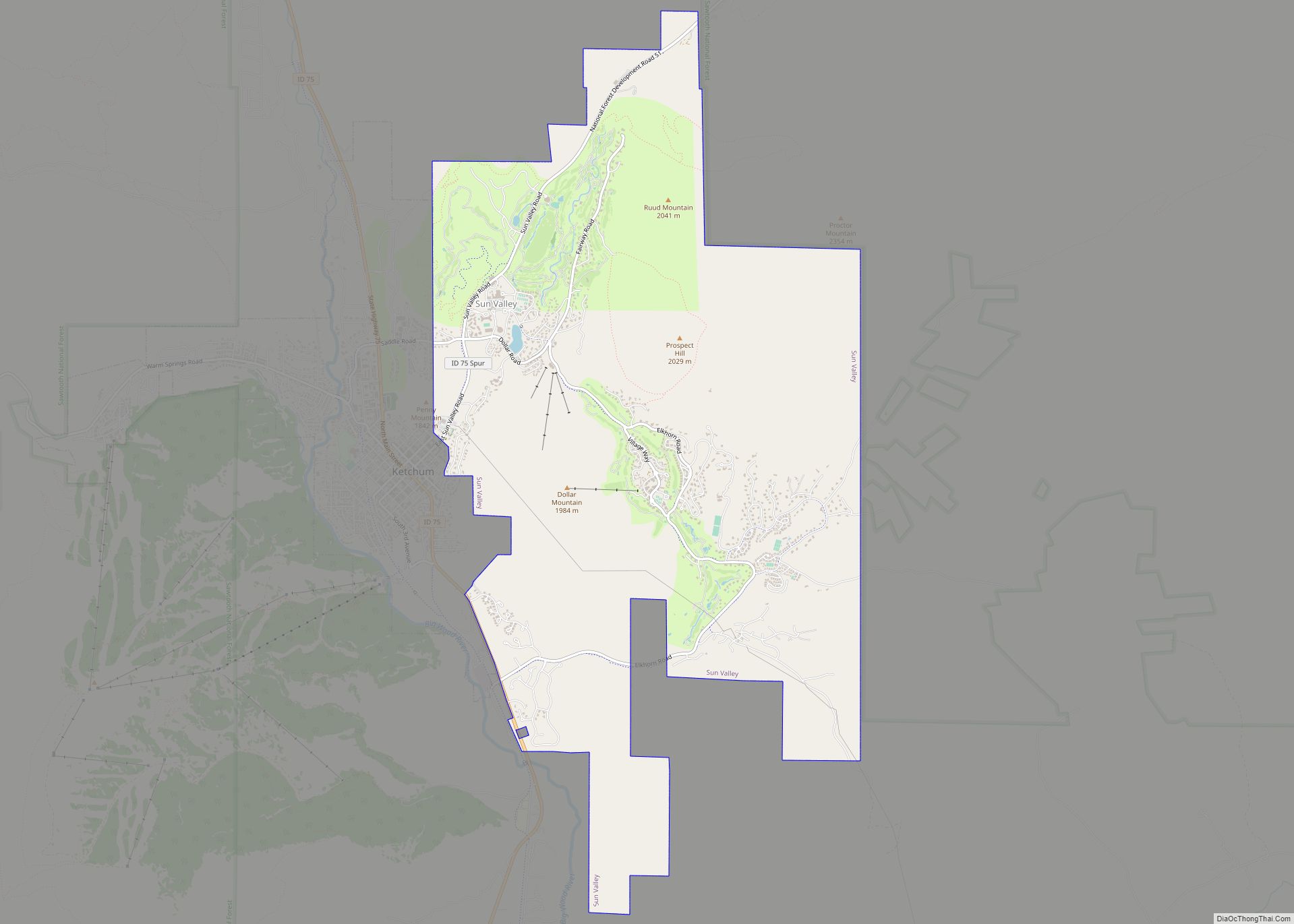
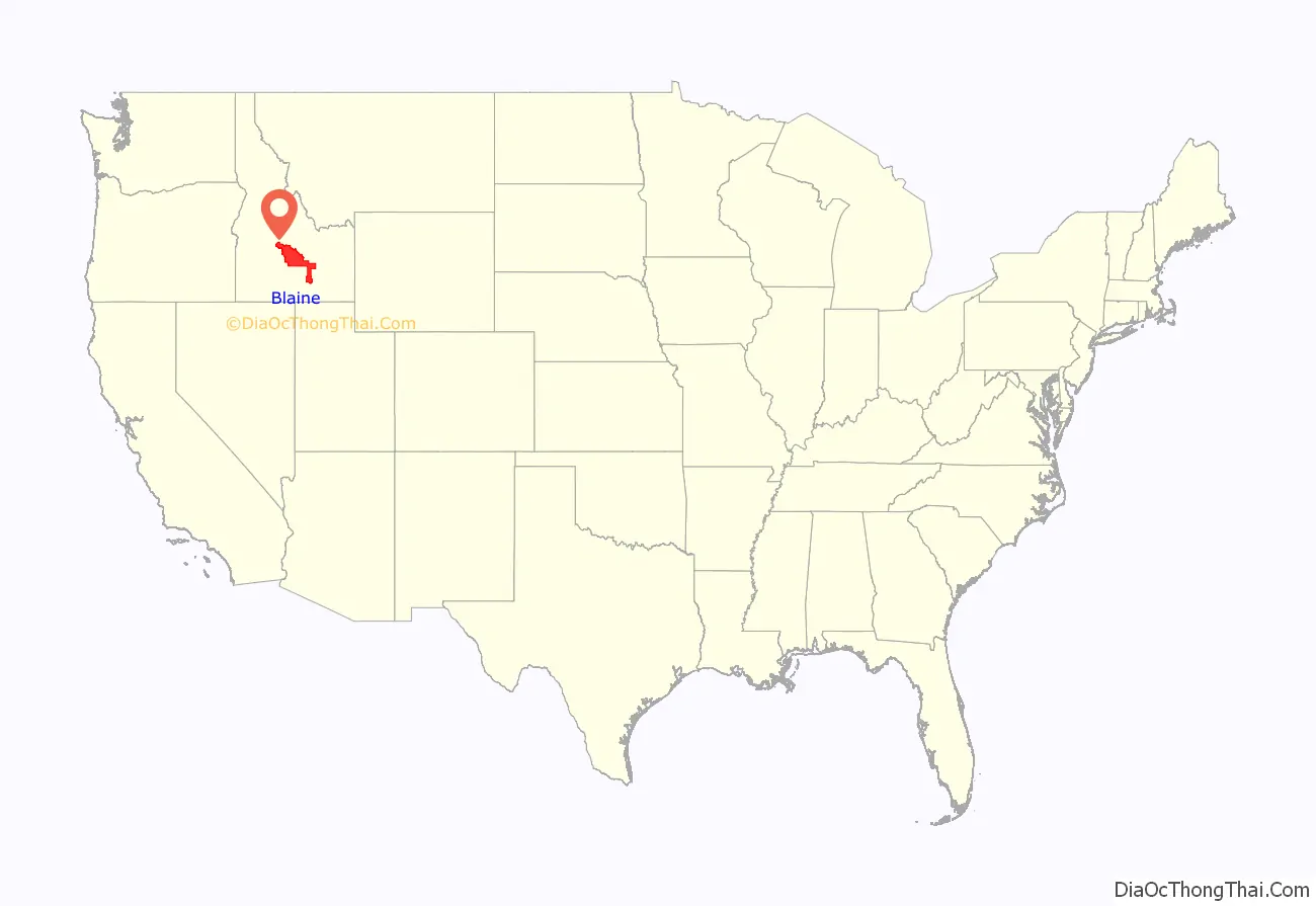
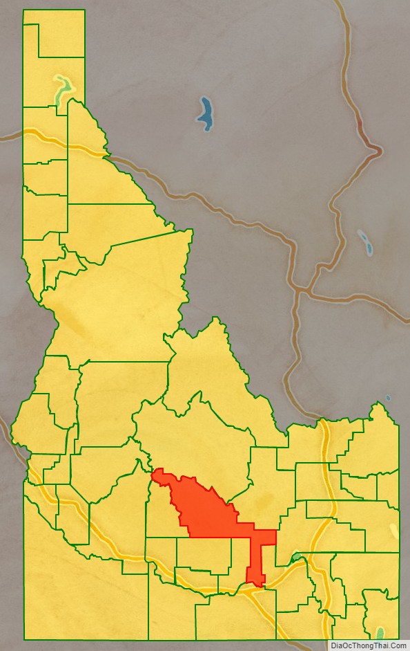
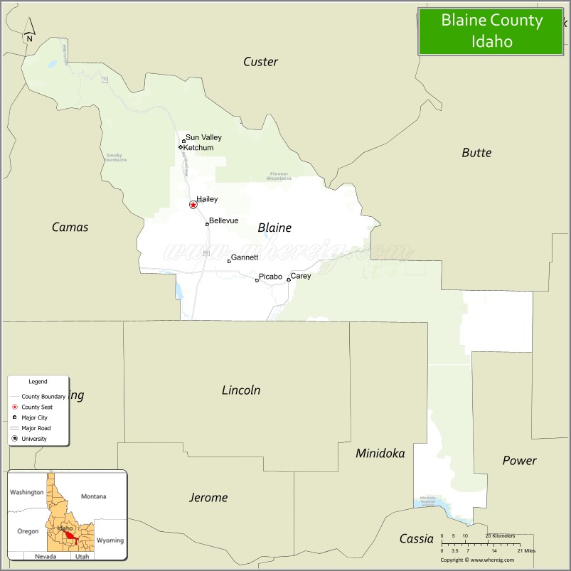
Blaine County is a county in the U.S. state of Idaho. As of the 2020 United States Census, the population was 24,272. The county seat and largest city is Hailey. It is also home to the Sun Valley ski resort, adjacent to Ketchum.
Blaine County was created by the territorial legislature on March 5, 1895, by combining Alturas and Logan counties; it was named for former congressman and 1884 Republican presidential nominee James G. Blaine. Its present boundaries were set on February 8, 1917, when a western portion was partitioned off to form Camas County.
Blaine County is part of the Hailey, ID Micropolitan Statistical Area.
| Name: | Blaine County |
|---|---|
| FIPS code: | 16-013 |
| State: | Idaho |
| Founded: | March 5, 1895 |
| Named for: | James G. Blaine |
| Seat: | Hailey |
| Largest city: | Hailey |
| Total Area: | 2,661 sq mi (6,890 km²) |
| Land Area: | 2,644 sq mi (6,850 km²) |
| Total Population: | 24,272 |
| Population Density: | 9.1/sq mi (3.5/km²) |
| Time zone: | UTC−7 (Mountain) |
| Summer Time Zone (DST): | UTC−6 (MDT) |
| Website: | www.co.blaine.id.us |
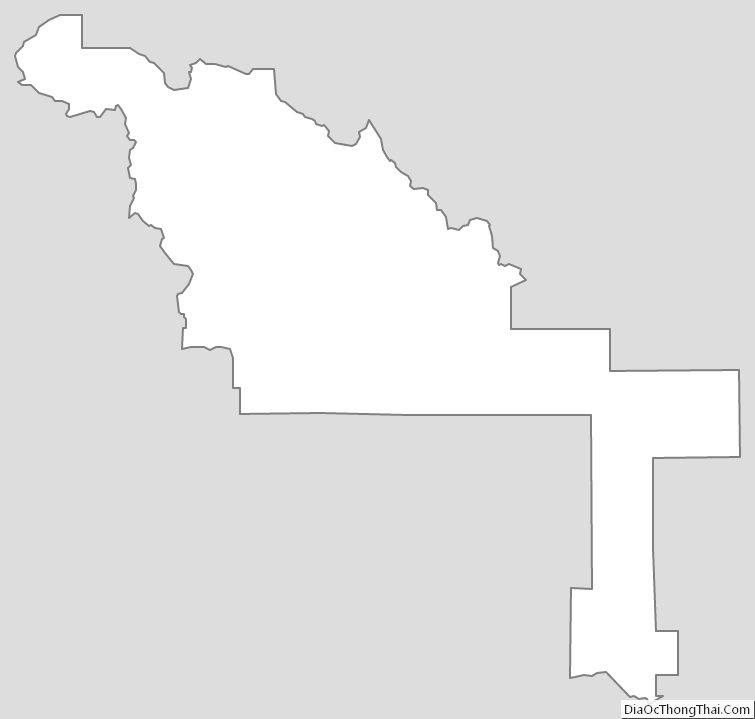
Blaine County location map. Where is Blaine County?
History
The Wood River Valley in present-day Blaine County was organized as part of Alturas County by the Idaho Territorial Legislature in 1864. By the 1880s the valley supported a thriving mining commerce; in 1882 the county seat of Alturas County was moved from Rocky Bar in present-day Elmore County to Hailey, in response to a population shift from Rocky Bar – which would eventually become a ghost town – to the Wood River Valley.
The Blaine County boundaries described in its 1895 creation ordinance contained lands that soon were partitioned off to form other counties. Only thirteen days after the official formation date of Blaine, Lincoln County was formed from the county. Lincoln itself was later partitioned to create Gooding (1913), Minidoka (1913), and Jerome (1919) counties. Blaine County was further reduced in 1917 when Camas County was formed.
The strong mining economy of the 1880s had substantially declined by 1890, when Idaho Territory became a state. The county began to recast itself as a tourism destination in 1936 with the opening of the Sun Valley resort, originally owned by the Union Pacific Railroad. The area soon attracted celebrity visitors, and later residents, most notably Ernest Hemingway, who is buried in the Ketchum Cemetery. Celebrities who have lived in Blaine County include Adam West, Demi Moore, and John Kerry.
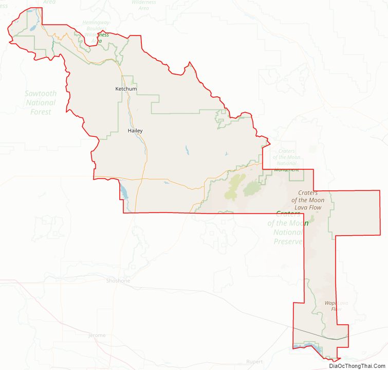
Blaine County Road Map
Geography
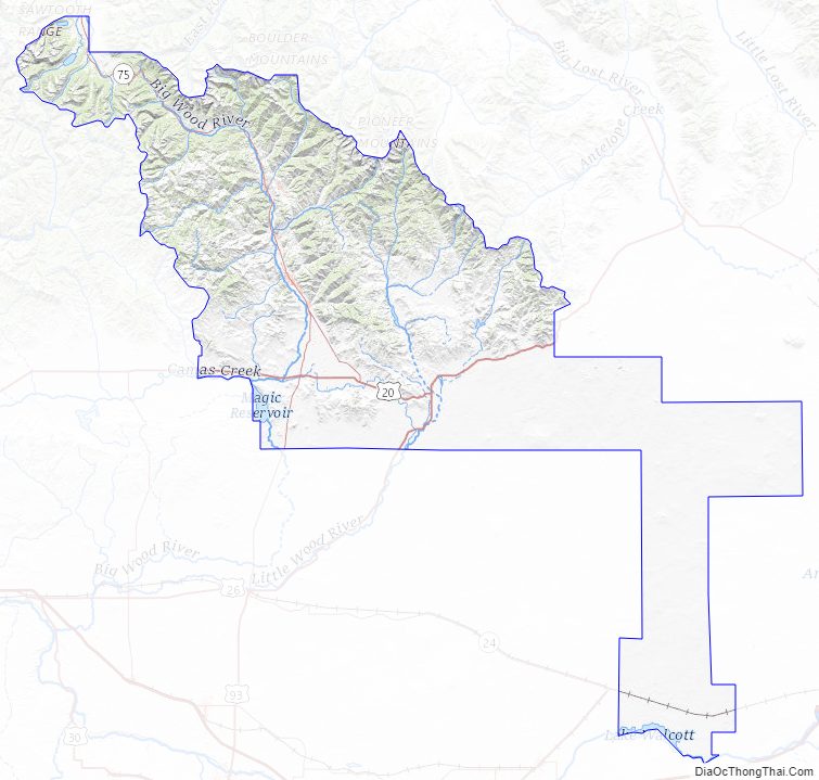
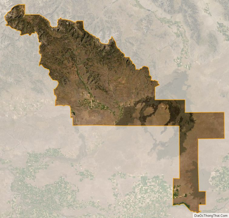
According to the U.S. Census Bureau, the county has a total area of 2,661 square miles (6,890 km), of which 2,644 square miles (6,850 km) is land and 17 square miles (44 km) (0.6%) is water.
Adjacent counties
- Butte County – northeast
- Bingham County – east
- Power County – southeast
- Cassia County – south
- Minidoka County – southeast
- Lincoln County – south
- Camas County – west
- Elmore County – northwest
- Custer County – northwest
Major highways
- – US 20
- – US 26
- – US 93
- SH-75 – Sawtooth Scenic Byway
National protected areas
- Craters of the Moon National Monument (part)
- Minidoka National Wildlife Refuge (part)
- Salmon-Challis National Forest (part)
- Sawtooth National Forest (part)
- Sawtooth National Recreation Area (part)
- Hemingway–Boulders Wilderness (part)
- Sawtooth Wilderness (part)
Blaine County Topographic Map
Blaine County Satellite Map
Blaine County Outline Map