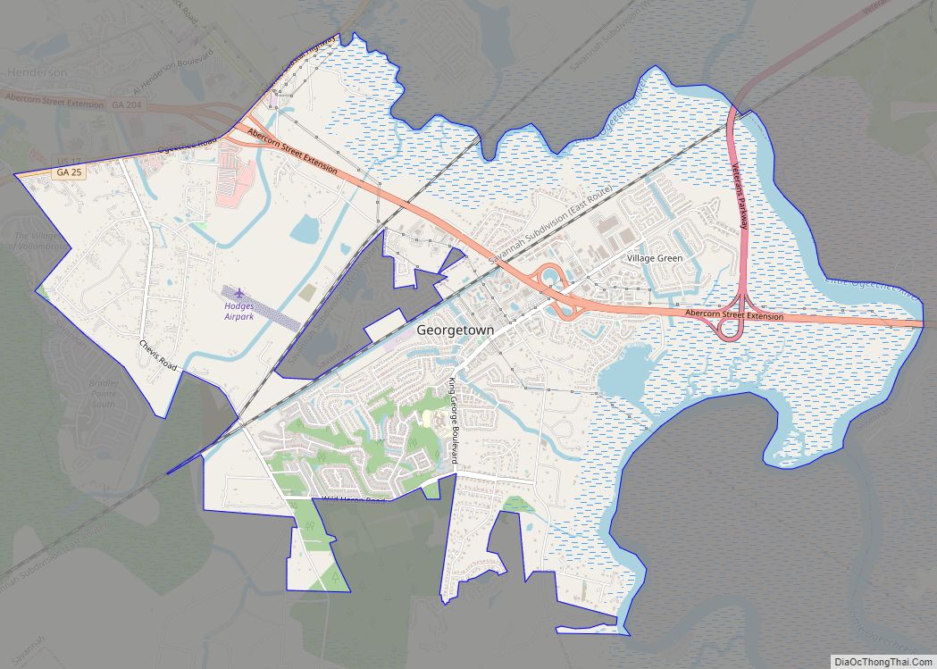
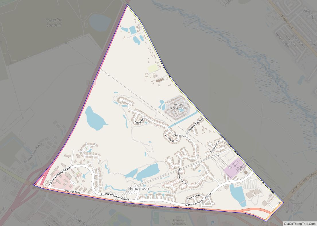
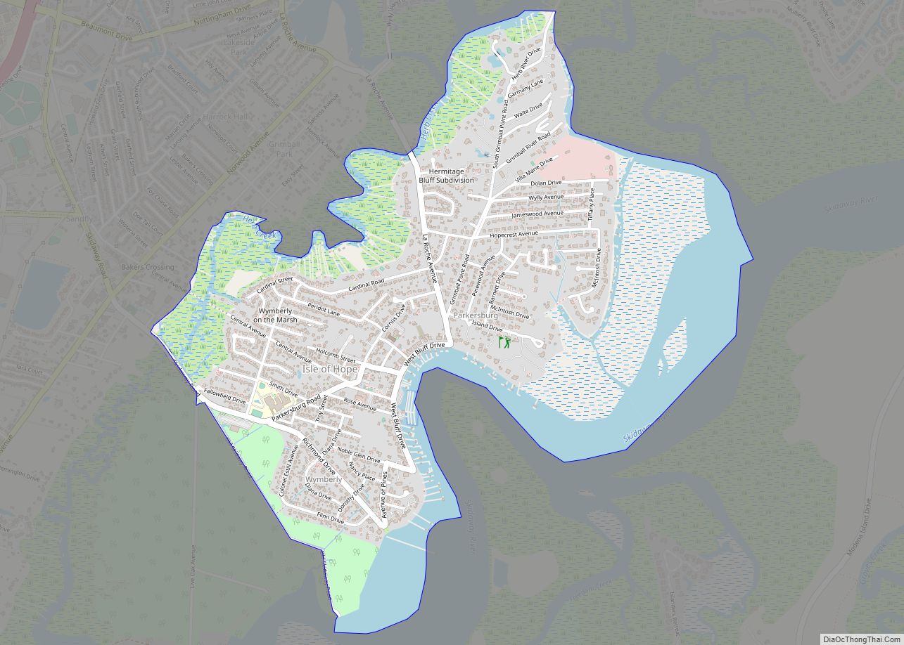
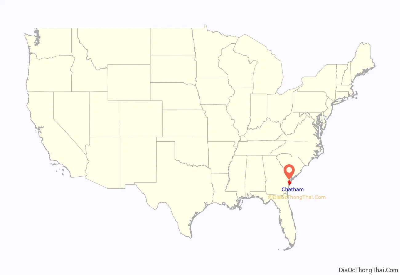
Chatham County (/ˈtʃætəm/ CHAT-əm) is located in the U.S. state of Georgia, on the state’s Atlantic coast. The county seat and largest city is Savannah. One of the original counties of Georgia, Chatham County was created February 5, 1777, and is named after William Pitt, 1st Earl of Chatham.
The U.S. Census Bureau’s official 2020 population for Chatham County was 295,291 residents. This was an increase of 11.4% from the official 2010 population of 265,128 residents. Chatham is the sixth most populous county in Georgia, and the most populous Georgia county outside the Atlanta metropolitan area. Chatham is the core county of the Savannah metropolitan area.
| Name: | Chatham County |
|---|---|
| FIPS code: | 13-051 |
| State: | Georgia |
| Founded: | 1777 |
| Named for: | William Pitt, 1st Earl of Chatham |
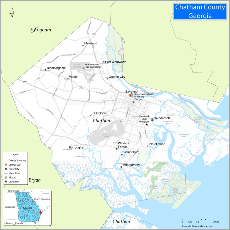
| Seat: | Savannah |
| Largest city: | Savannah |
| Total Area: | 632 sq mi (1,640 km²) |
| Land Area: | 426 sq mi (1,100 km²) |
| Total Population: | 295,291 |
| Population Density: | 470/sq mi (180/km²) |
| Time zone: | UTC−5 (Eastern) |
| Summer Time Zone (DST): | UTC−4 (EDT) |
| Website: | www.chathamcountyga.gov |
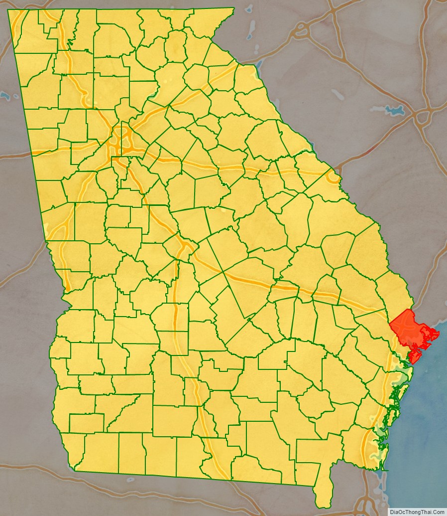
Chatham County location map. Where is Chatham County?
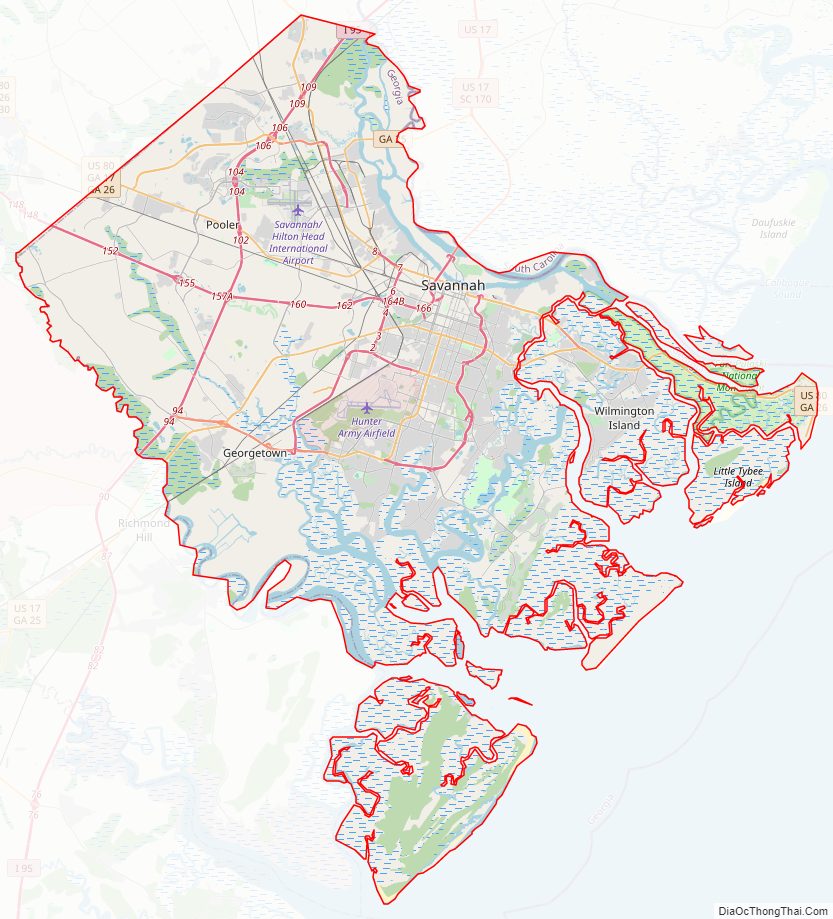
Chatham County Road Map
Geography
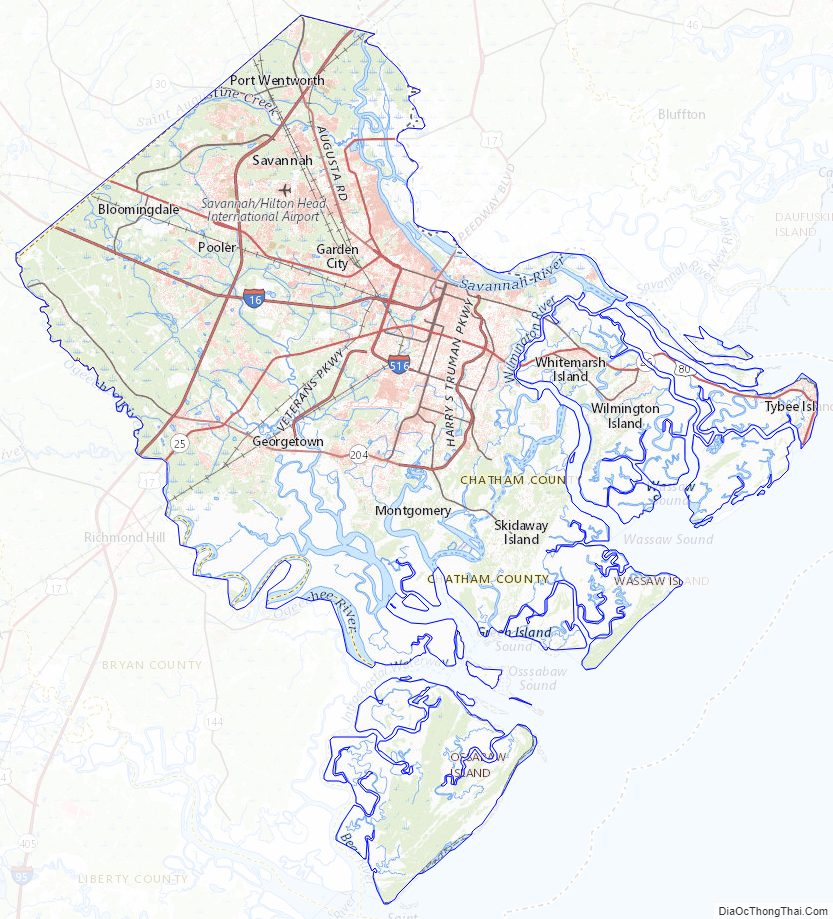
According to the U.S. Census Bureau, the county has a total area of 632 sq mi (1,640 km), of which 206 sq mi (530 km) (32.6%) is covered by water.
Chatham County is the northernmost of Georgia’s coastal counties on the Atlantic Ocean. It is bounded on the northeast by the Savannah River, and in the southwest bounded by the Ogeechee River.
The bulk of Chatham County, an area with a northern border in a line from Bloomingdale to Tybee Island, is located in the Ogeechee River Coastal subbasin of the Ogeechee River basin. The portion of the county north of that line is located in the lower Savannah River subbasin of the Savannah River basin, while the very southern fringes of the Chatham County are located in the lower Ogeechee River subbasin of the Ogeechee River basin.
Major highways
- Interstate 16
- Interstate 95
- Interstate 516
- U.S. Route 17
- U.S. Route 80
- State Route 17
- State Route 21
- State Route 21 Spur
- State Route 25
- State Route 26
- State Route 26 Connector
- State Route 30
- State Route 204
- State Route 204 Spur
- State Route 307
- State Route 404 (unsigned designation for I-16)
- State Route 404 Spur
- State Route 405 (unsigned designation for I-95)
- State Route 421 (unsigned designation for I-516)
- Savannah River Parkway
Adjacent counties
- Jasper County, South Carolina – northeast
- Bryan County – west/southwest
- Liberty County – southeast
- Effingham County – northwest
National protected areas
- Fort Pulaski National Monument
- Savannah National Wildlife Refuge (part)
- Wassaw National Wildlife Refuge
Chatham County Topographic Map
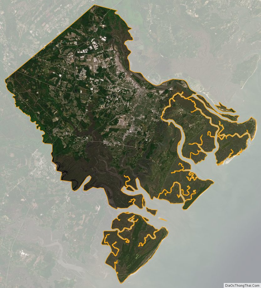
Chatham County Satellite Map
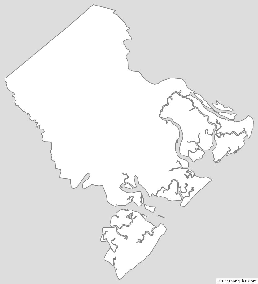
Chatham County Outline Map