Effingham County (/ˈɛfɪŋhæm/ EFF-ing-ham) is a county located in the southeastern part of the U.S. state of Georgia. As of the 2020 census, the population was 64,769. The seat is Springfield.
Effingham County is included in the Savannah metropolitan area.
In 2008, Effingham County was ranked as the sixth-fastest-growing midsize county in the nation from 2000 to 2007 by the U.S. Census Bureau. The county had a 35.1% growth rate over that period.
| Name: | Effingham County |
|---|---|
| FIPS code: | 13-103 |
| State: | Georgia |
| Founded: | 1777 |
| Named for: | Thomas Howard, 3rd Earl of Effingham |
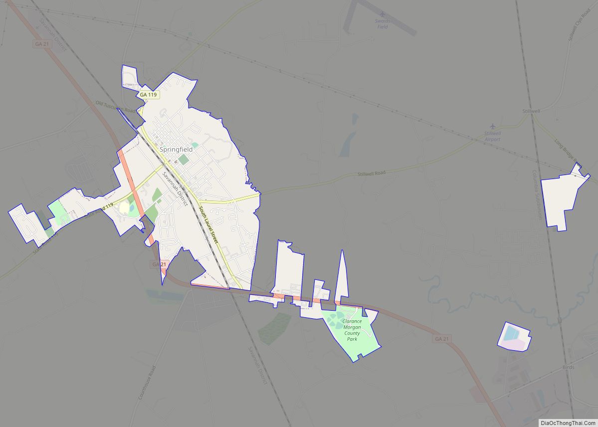
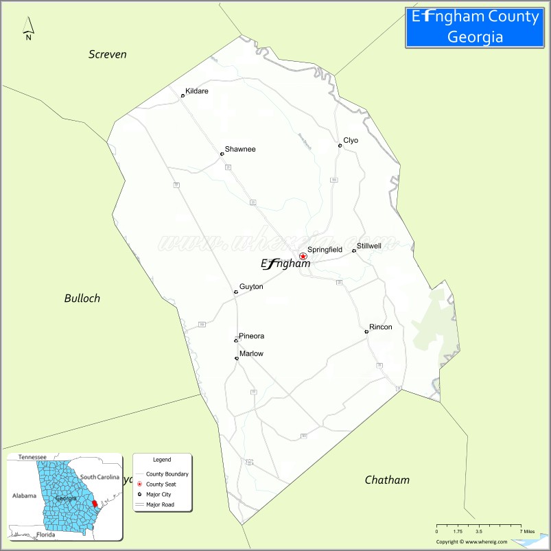
| Seat: | Springfield |
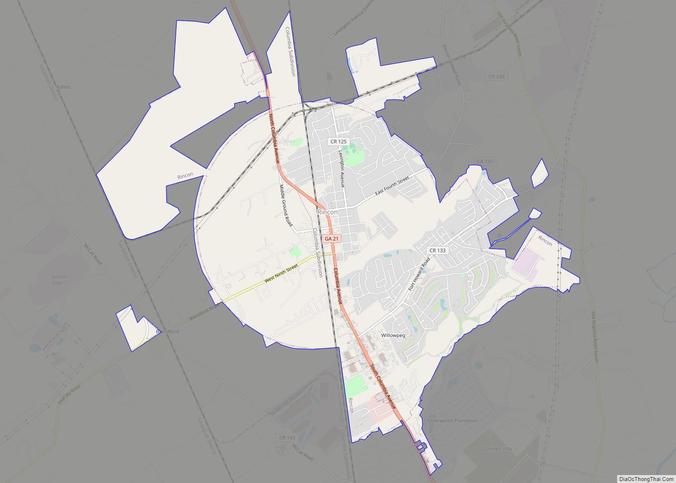
| Largest city: | Rincon |
| Total Area: | 483 sq mi (1,250 km²) |
| Land Area: | 478 sq mi (1,240 km²) |
| Total Population: | 64,769 |
| Population Density: | 136/sq mi (53/km²) |
| Time zone: | UTC−5 (Eastern) |
| Summer Time Zone (DST): | UTC−4 (EDT) |
| Website: | www.effinghamcounty.org |
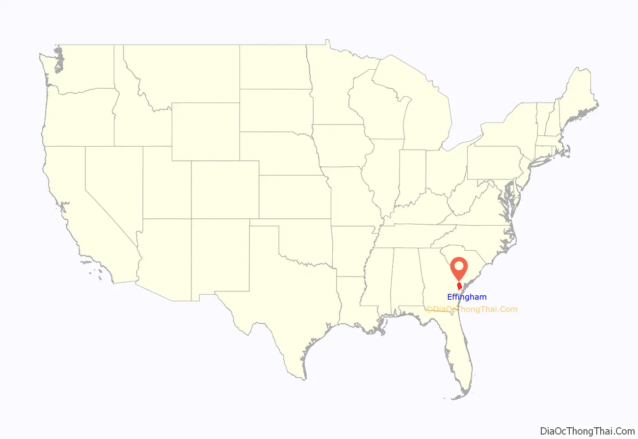
Effingham County location map. Where is Effingham County?
History
Effingham was among the original counties of the state of Georgia, created February 5, 1777 during the American Revolution from the colonial parishes of St. Matthew and St. Phillip. Its name honors Lord Effingham, an English champion of colonial rights, who resigned his commission rather than fight against the rebel colonists during the American Revolution. During the war, most of the Loyalists in what is now Effingham County were first generation Scottish immigrants. After the war, notable Georgia patriots including Lyman Hall, Samuel Elbert, Edward Telfair, George Walton and Stephen Heard all made direct appeals to the Loyalists of Effingham County to “stay on” in Georgia, under the new republican form of government. In Effingham County this effort was successful, and virtually all Loyalists in the county stayed. The town of Springfield was established in 1799, and most likely was named after a plantation.
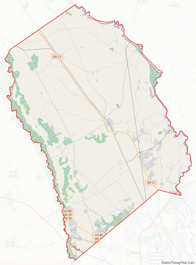
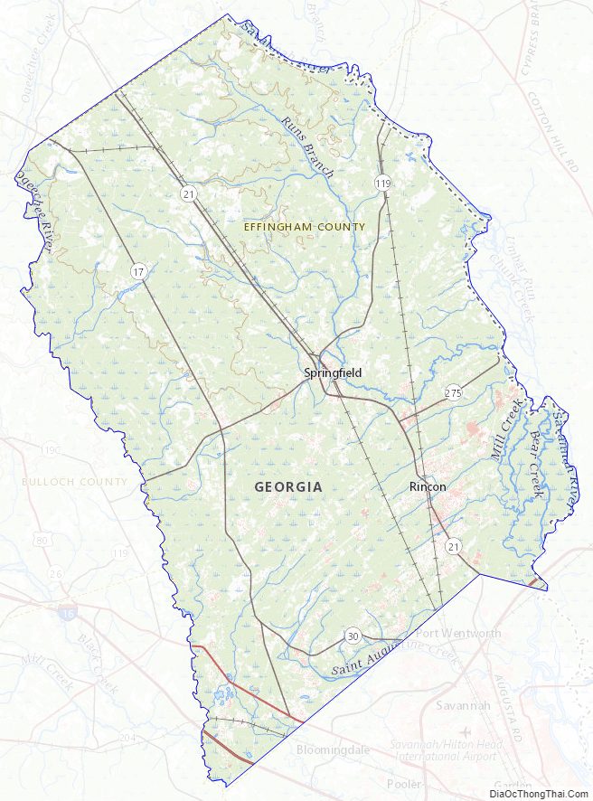
Effingham County Road Map
Geography
According to the U.S. Census Bureau, the county has a total area of 483 square miles (1,250 km), of which 478 square miles (1,240 km) is land and 5.2 square miles (13 km) (1.1%) is water.
The entire western edge of Effingham County, from south of Newington to east of Guyton, then south to southwest of Meldrim, is located in the Lower Ogeechee River sub-basin of the Ogeechee River basin. The bulk of the rest of the county is located in the Lower Savannah River sub-basin of the Savannah River basin. A narrow rectangular portion of south Effingham County, from south of Pineora through Meldrim, is located in the Ogeechee Coastal sub-basin of the Ogeechee River basin.
Major highways
- Interstate 16
- Interstate 95
- U.S. Route 80
- State Route 17
- State Route 21
- State Route 21 Spur
- State Route 26
- State Route 30
- State Route 119
- State Route 275
- State Route 404 (unsigned designation for I-16)
- State Route 405 (unsigned designation for I-95)
- Savannah River Parkway
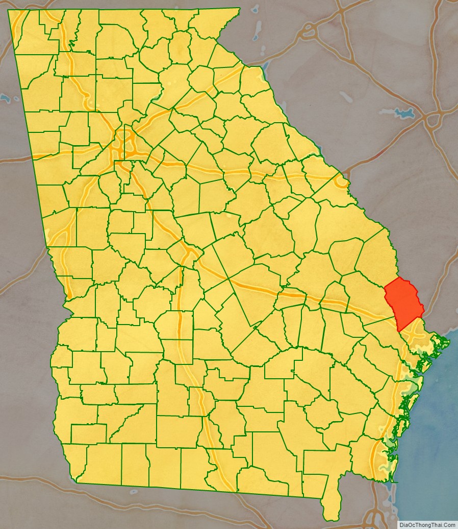
Adjacent counties
- Hampton County, South Carolina (north)
- Jasper County, South Carolina (northeast)
- Chatham County (southeast)
- Bryan County (south)
- Bulloch County (west)
- Screven County (northwest)
National protected area
- Savannah National Wildlife Refuge (part)
Effingham County Topographic Map
Effingham County Satellite Map

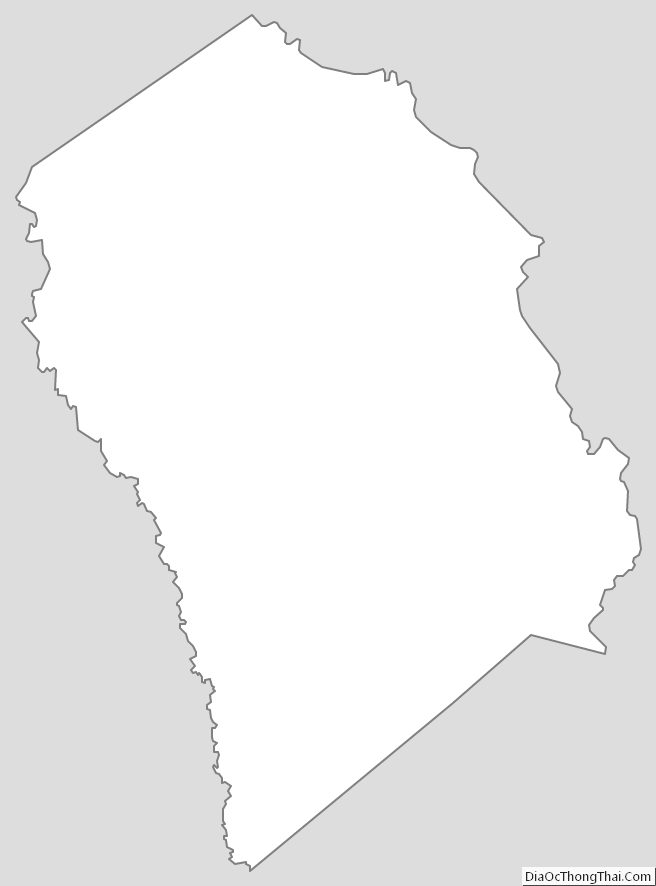
Effingham County Outline Map