Darlington County is a county in the U.S. state of South Carolina. As of the 2020 census, its population was 62,905. Its county seat is Darlington. Hartsville is the largest city in the county. Darlington County is home to the Darlington Raceway, which hosts the annual NASCAR Southern 500. Darlington County is also home to Coker College in Hartsville. Darlington County was named by an act in March 1785.
Darlington County is included in the Florence, SC Metropolitan Statistical Area. The county’s population was nearly 60% rural in 2000.
| Name: | Darlington County |
|---|---|
| FIPS code: | 45-031 |
| State: | South Carolina |
| Founded: | 1785 |
| Named for: | Darlington, England |
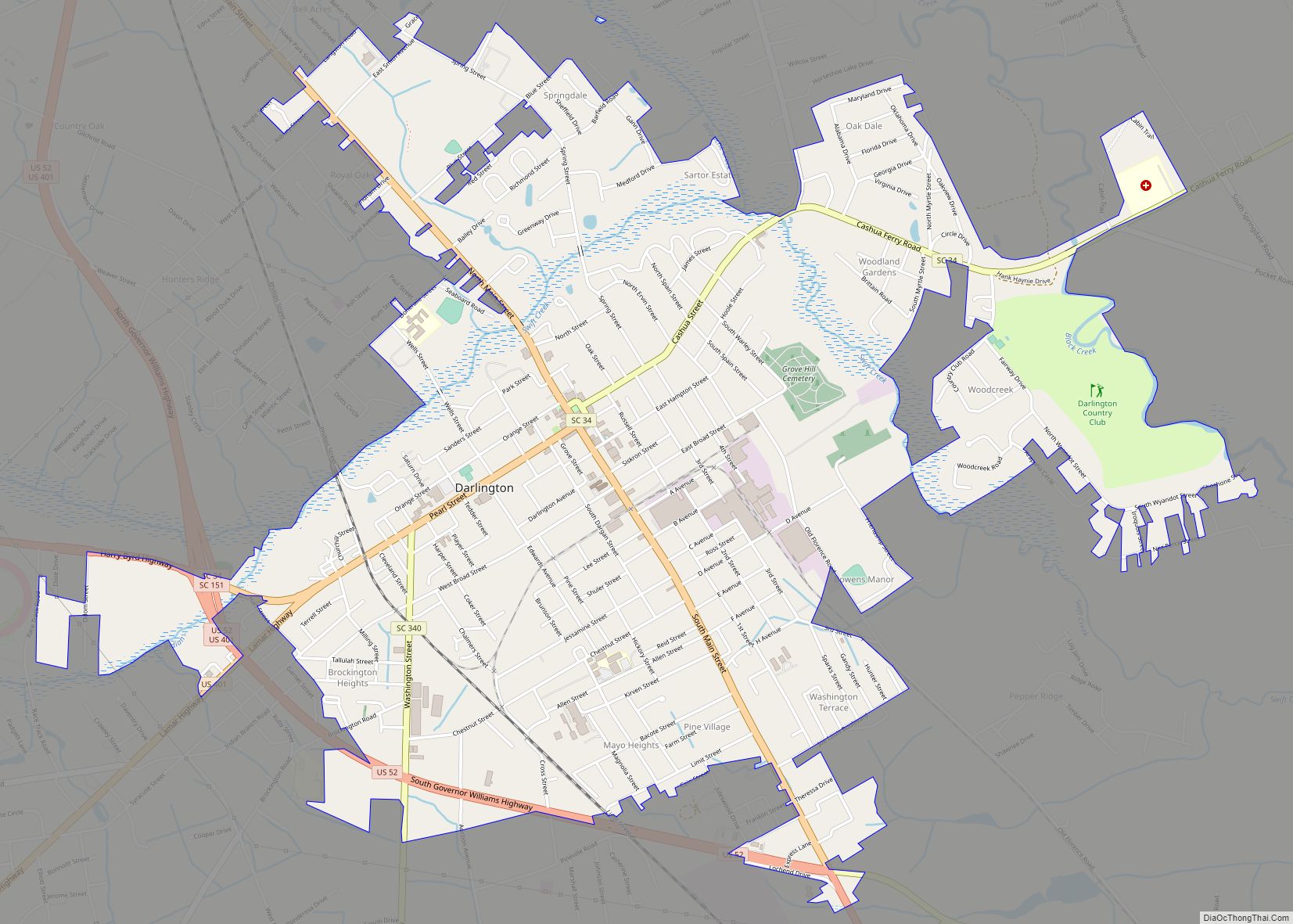
| Seat: | Darlington |
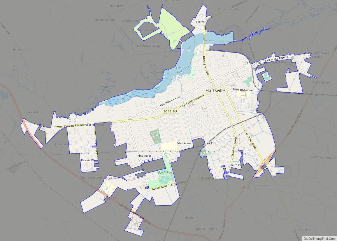
| Largest city: | Hartsville |
| Total Area: | 567 sq mi (1,470 km²) |
| Land Area: | 561 sq mi (1,450 km²) |
| Total Population: | 62,755 |
| Population Density: | 111.9/sq mi (43.2/km²) |
| Time zone: | UTC−5 (Eastern) |
| Summer Time Zone (DST): | UTC−4 (EDT) |
| Website: | www.darcosc.com |
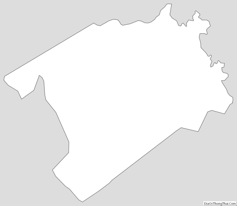
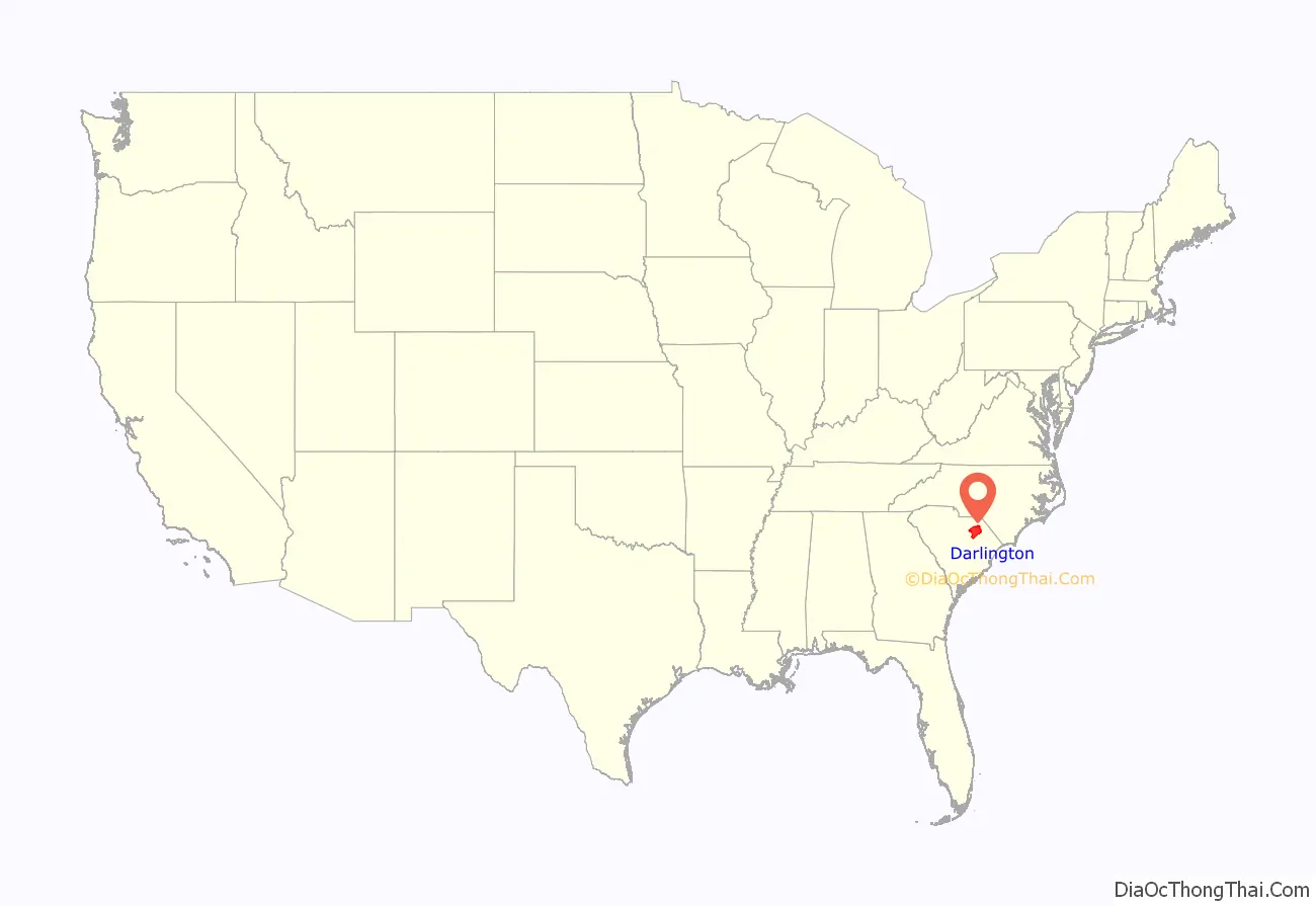
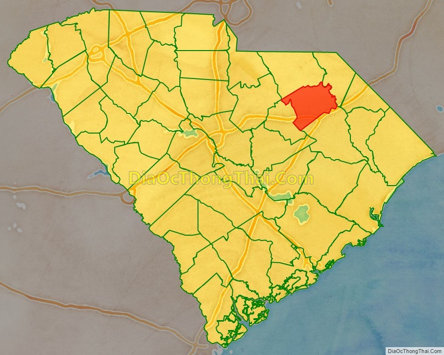
Darlington County location map. Where is Darlington County?
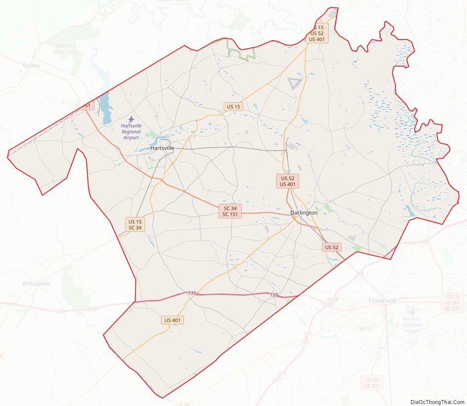
Darlington County Road Map
Geography
According to the U.S. Census Bureau, the county has a total area of 567 square miles (1,470 km), of which 561 square miles (1,450 km) is land and 5.7 square miles (15 km) (1.0%) is water.
National protected area
- Great Pee Dee River Heritage Preserve Wildlife Management Area (part)
State and local protected areas/sites
- Great Pee Dee Heritage Preserve
- Kalmia Gardens
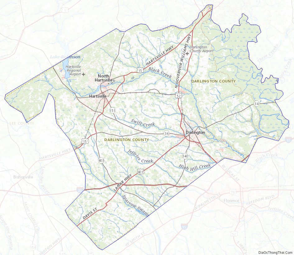
Major water bodies
- Back Swamp
- Black Creek
- Cedar Creek
- Great Pee Dee River
- High Hill Creek
- Lake Robinson
- Lynches River
- Sparrow Swamp
Adjacent counties
- Florence County – southeast
- Marlboro County – northeast
- Chesterfield County – northwest
- Lee County – southwest
- Kershaw County – west
Major highways
- I-20
- I-95
- US 15
- US 15 Bus.
- US 52
- US 52 Bus.
- US 401
- SC 34
- SC 34 Conn.
- SC 34 Truck
- SC 102
- SC 151
- SC 151 Bus.
- SC 340
- SC 403
Major infrastructure
- Darlington County Jetport
- Hartsville Regional Airport
Darlington County Topographic Map
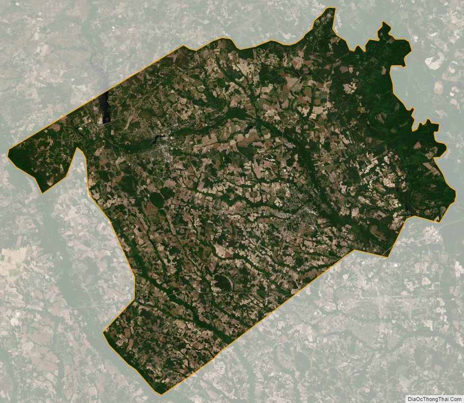
Darlington County Satellite Map
Darlington County Outline Map