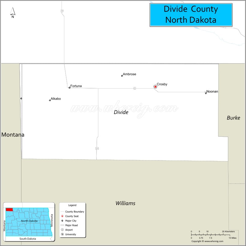
Divide County is a county in the U.S. state of North Dakota. As of the 2020 census, the population was 2,195. Its county seat is Crosby.
| Name: | Divide County |
|---|---|
| FIPS code: | 38-023 |
| State: | North Dakota |
| Founded: | 1910 |
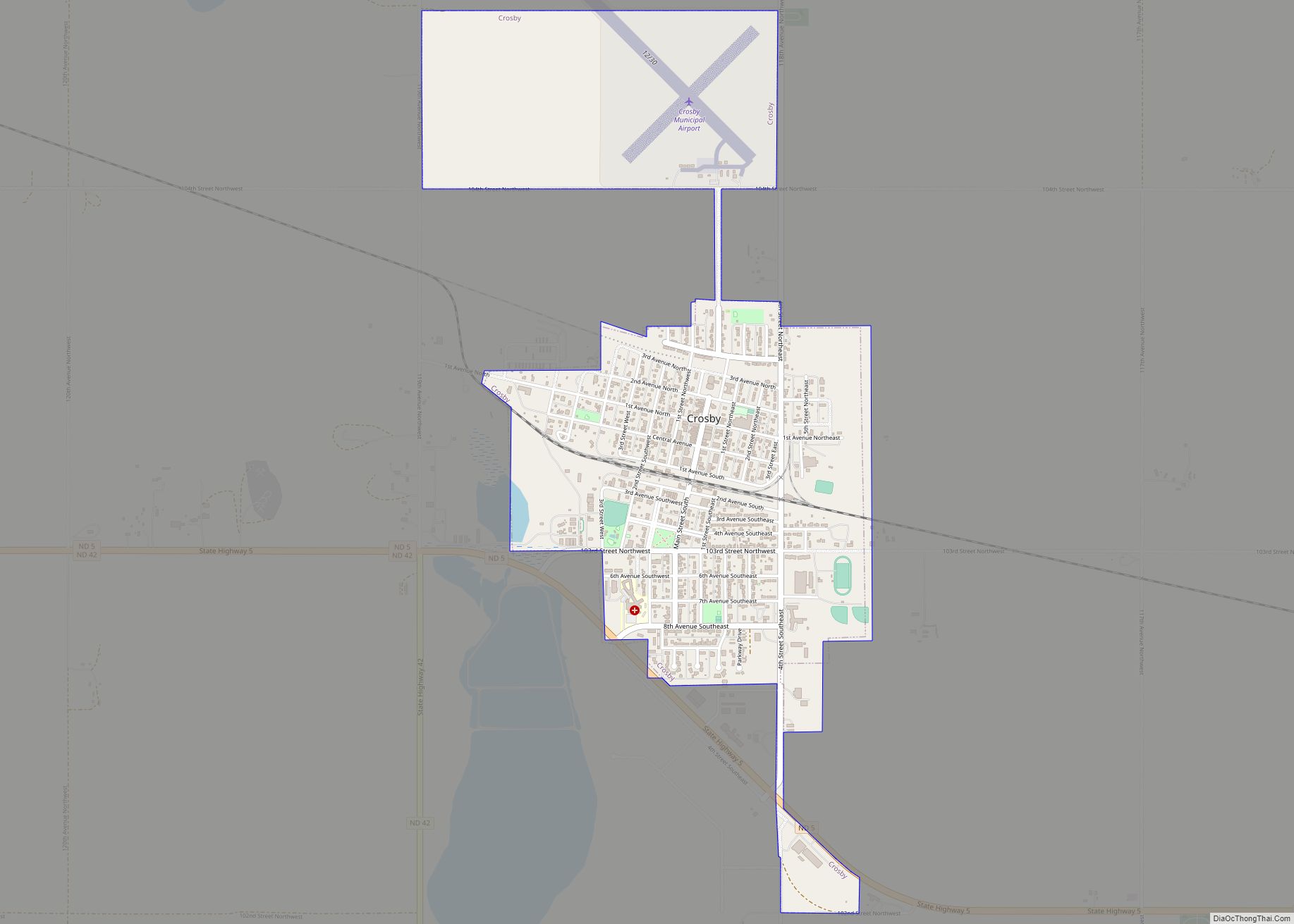
| Seat: | Crosby |
| Largest city: | Crosby |
| Total Area: | 1,294 sq mi (3,350 km²) |
| Land Area: | 1,261 sq mi (3,270 km²) |
| Total Population: | 2,195 |
| Population Density: | 1.7/sq mi (0.65/km²) |
| Time zone: | UTC−6 (Central) |
| Summer Time Zone (DST): | UTC−5 (CDT) |
| Website: | www.dividecountynd.org |
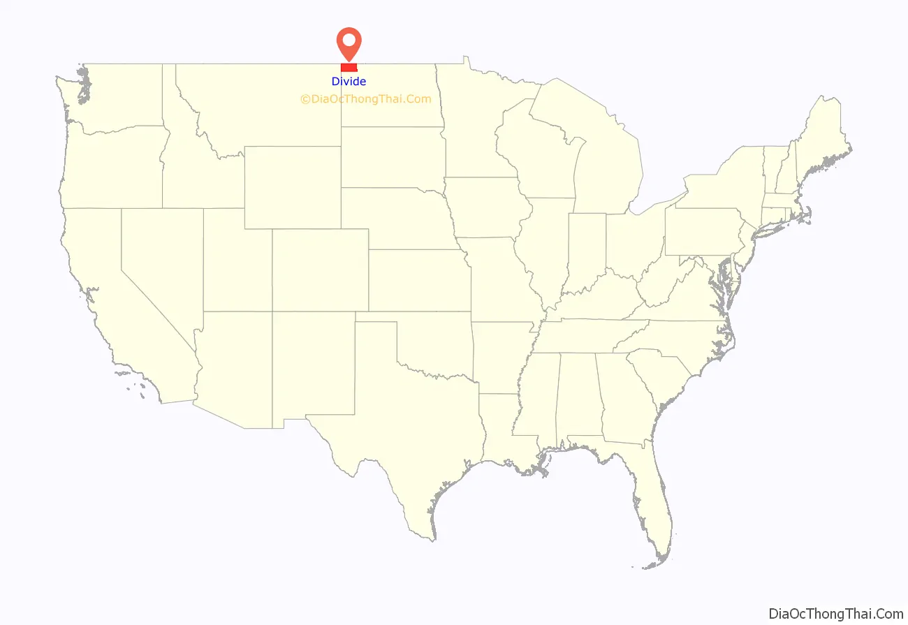
Divide County location map. Where is Divide County?
History
On November 8, 1910, election, the voters of Williams County voters determined that the county should be divided into a northern and a southern county. The vote was affirmative; the southern portion retained the Williams name; the newly created county was named “Divide”, with Crosby as the seat. The county government was effected on December 9 of that year, and the county’s boundaries have remained unchanged since that time. Most histories attribute the county name to its “division” from Williams County, though the county’s location on the Laurentian Divide, separating runoff waters between Hudson Bay and Gulf of Mexico, may have been involved.
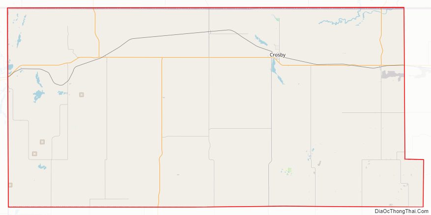
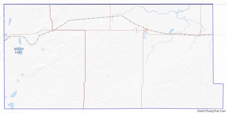
Divide County Road Map
Geography
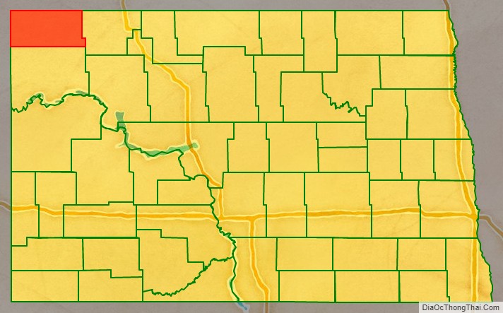
Divide County lies at the northwest corner of North Dakota. Its northern boundary line abuts the south boundary line of Canada, opposite Saskatchewan, and its west boundary line abuts the east boundary line of the state of Montana. The terrain of Divide County consists of semi-arid rolling hills, dotted with lakes and ponds, partially devoted to agriculture. The terrain generally slopes to the east; the northern part also slopes to the north while the southern part slopes to the south. The county has a total area of 1,294 square miles (3,350 km), of which 1,261 square miles (3,270 km) is land and 33 square miles (85 km) (2.6%) is water.
Divide County is one of several western North Dakota counties with significant exposure to the Bakken Formation in the Williston Basin.
Major highways
- U.S. Highway 85
- North Dakota Highway 5
- North Dakota Highway 40
- North Dakota Highway 42
Adjacent counties and rural municipalities
- Rural Municipality (RM) of Lake Alma No. 8, Saskatchewan (SK) – northwest
- RM of Souris Valley No. 7, SK – north
- RM of Cambria No. 6, SK – north
- RM of Estevan No. 5, SK – northeast
- Burke County – east
- Williams County – south
- Sheridan County, Montana – west
Lakes
- Bright Water Lake
- McCone Lake
- Miller Lake
- Musta Lake
- North Lake
- Rattler Lake
- Round Lake (part)
- Willow Lake
Divide County Topographic Map
Divide County Satellite Map
Divide County Outline Map