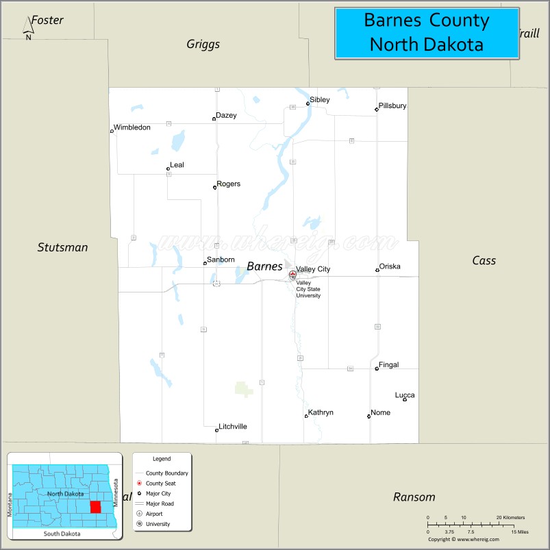
Barnes County is a county in the U.S. state of North Dakota. As of the 2020 census, the population was 10,853. Its county seat is Valley City.
In 1872, the Dakota Territory legislature authorized Burbank County (named for governor John A. Burbank); in 1874 they renamed it Barnes County, for Alanson H. Barnes (1818–1890), an associate justice of the Territorial Court. It was organized at Valley City on January 6, 1879.
| Name: | Barnes County |
|---|---|
| FIPS code: | 38-003 |
| State: | North Dakota |
| Founded: | 1875 |
| Named for: | judge Alanson H. Barnes |
| Seat: | Valley City |
| Largest city: | Valley City |
| Total Area: | 1,513 sq mi (3,920 km²) |
| Land Area: | 1,492 sq mi (3,860 km²) |
| Total Population: | 10,853 |
| Population Density: | 7.2/sq mi (2.8/km²) |
| Time zone: | UTC−6 (Central) |
| Summer Time Zone (DST): | UTC−5 (CDT) |
| Website: | www.barnescounty.us |
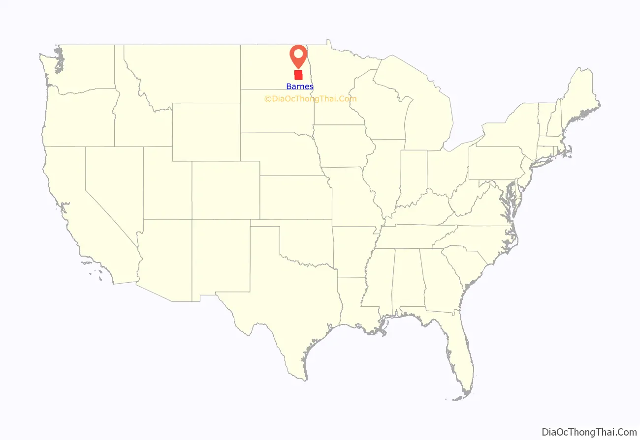
Barnes County location map. Where is Barnes County?

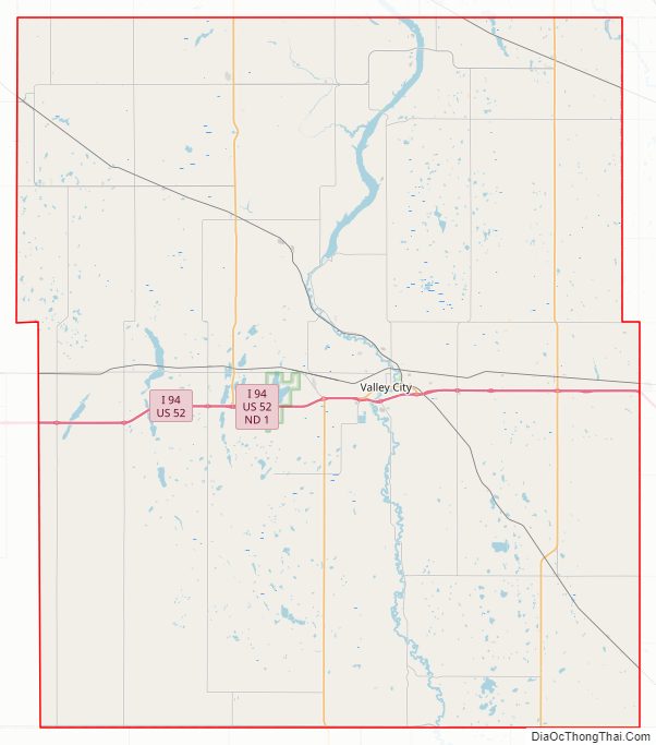
Barnes County Road Map
Geography
The Sheyenne River flows southerly through the central part of Barnes County. The county terrain consists of rolling hills, carved with drainages, and dotted with lakes and ponds. The area is largely devoted to agriculture. The terrain slopes to the south and east; its highest point is on its upper west boundary line, at 1,535′ (468m) ASL. The county has a total area of 1,513 square miles (3,920 km), of which 1,492 square miles (3,860 km) is land and 22 square miles (57 km) (1.4%) is water.
Major highways
- I-94
- US 52
- ND 1
- ND 9
- ND 18
- ND 26
- ND 32
- ND 46
Adjacent counties
- Griggs County – north
- Steele County – northeast
- Cass County – east
- Ransom County – southeast
- LaMoure County – southwest
- Stutsman County – west
Protected areas
- Clausen Springs Recreation Area
- Clausen Springs State Game Management Area
- Hobart Lake National Wildlife Refuge
- Koldak State Game Management Area
- Riparian Restoration Interpretative Site
- Stoney Slough National Wildlife Refuge
- Tomahawk Lake National Wildlife Refuge
Lakes
- Lake Ashtabula
- Eckelson Lake
- Fox Lake
- Goose Lake
- Hobart Lake
- Island Lake
- Kee Lake
- Lake Benson
- Meadow Lake
- Moon Lake
- Mud Lake
- Round Lake
- Saint Marys Lake
- Sanborn Lake
- Tomahawk Lake
Barnes County Topographic Map
Barnes County Satellite Map

Barnes County Outline Map