Bottineau County is a county in the U.S. state of North Dakota. As of the 2020 census, the population was 6,379. Its county seat is Bottineau.
The Territorial legislature identified Bottineau as one of the original counties of the territory. on January 4, 1873. Its organization was effected on July 17, 1884. It is named for Pierre Bottineau (c.1814-1895), a Métis pioneer, hunter, and trapper who became a successful land speculator.
Bottineau is well known for its winter park, snowmobiling, and ice fishing. It is south of the Canadian borders of Manitoba and Saskatchewan.
| Name: | Bottineau County |
|---|---|
| FIPS code: | 38-009 |
| State: | North Dakota |
| Founded: | 1873 |
| Named for: | Pierre Bottineau |
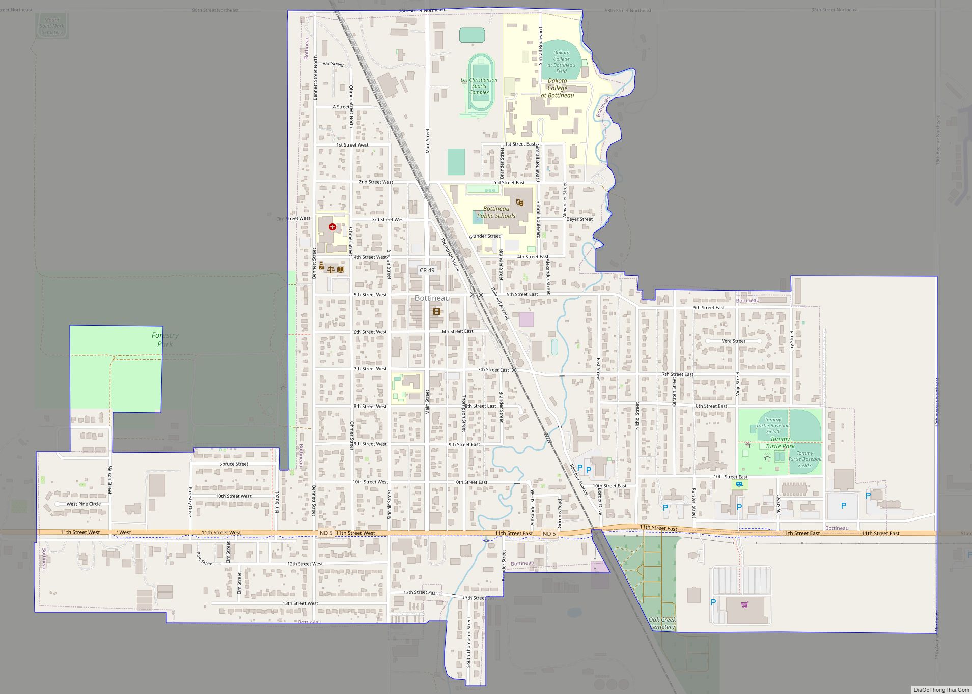
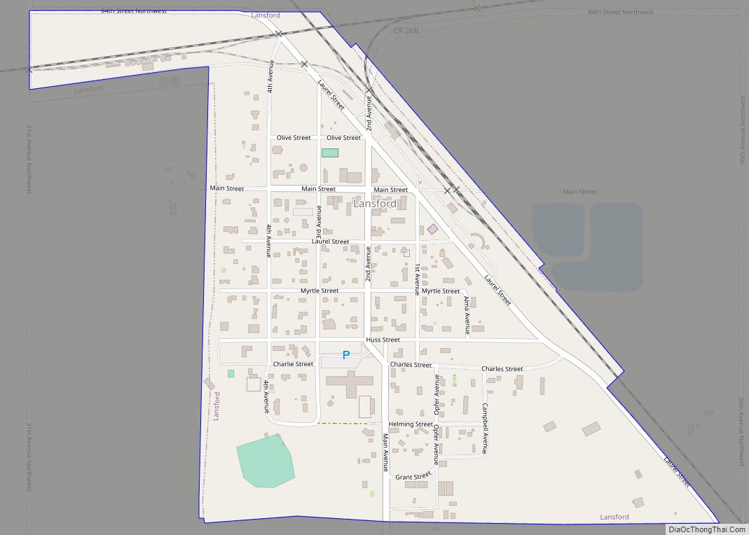
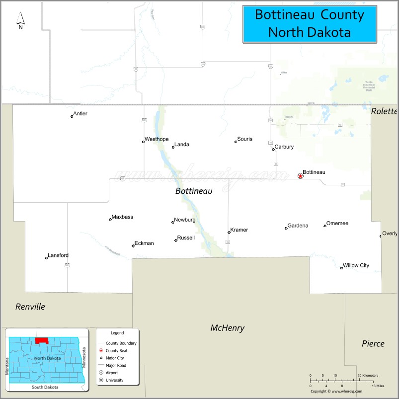
| Seat: | Bottineau |
| Largest city: | Bottineau |
| Total Area: | 1,697 sq mi (4,400 km²) |
| Land Area: | 1,668 sq mi (4,320 km²) |
| Total Population: | 6,379 |
| Population Density: | 3.8/sq mi (1.5/km²) |
| Time zone: | UTC−6 (Central) |
| Summer Time Zone (DST): | UTC−5 (CDT) |
| Website: | botco.homestead.com |
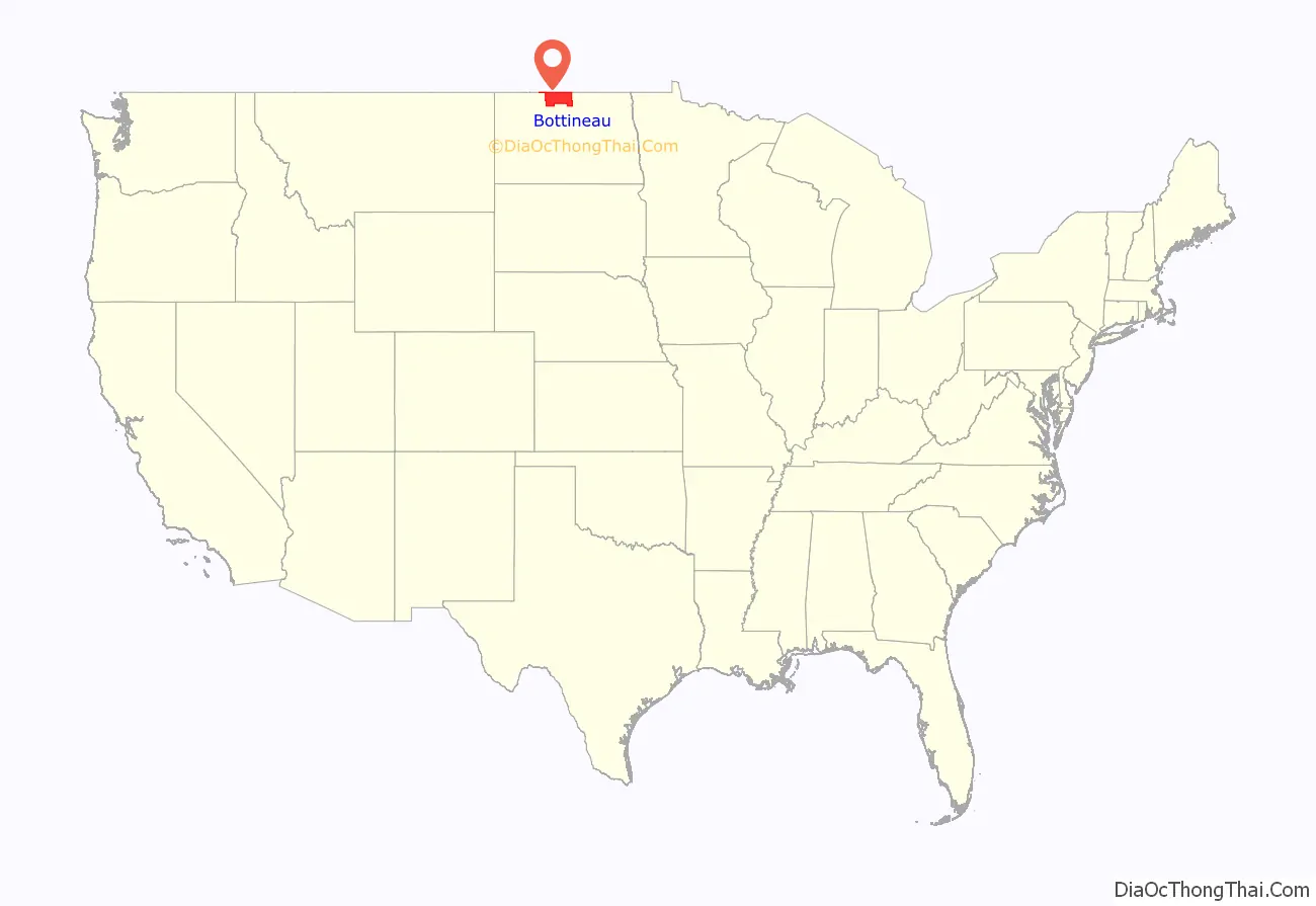
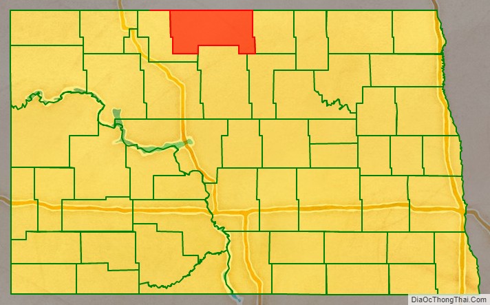
Bottineau County location map. Where is Bottineau County?
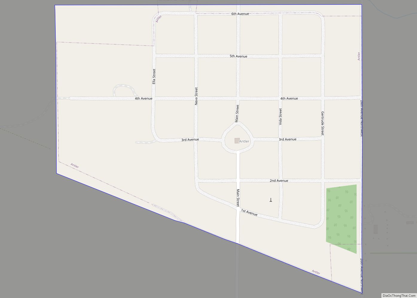
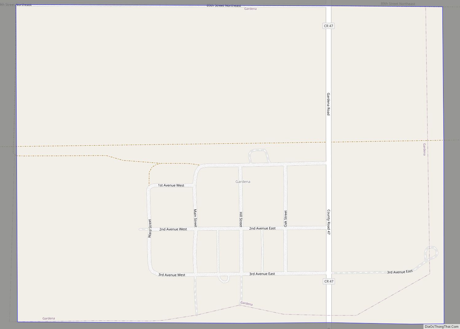
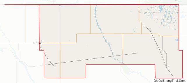
Bottineau County Road Map
Geography
Bottineau County lies on the north side of North Dakota. Its north boundary line abuts the south boundary line of Canada. The Deep River flows south-southeastward through the center part of the county. The county terrain consists of rolling hills, dotted with lakes and ponds. The terrain slopes to the south, with its highest point on its upper east boundary line, at 2,283′ (696m) ASL. The county has a total area of 1,697 square miles (4,400 km), of which 1,668 square miles (4,320 km) is land and 29 square miles (75 km) (1.7%) is water.
Part of the Turtle Mountain plateau lies in the northeastern corner of the county.
Adjacent counties and rural municipalities
- Argyle No. 1, Saskatchewan – north
- Municipality of Two Borders, Manitoba – north
- Municipality of Brenda-Waskada, Manitoba – north
- Municipality of Deloraine-Winchester, Manitoba – north
- Municipality of Boissevain-Morton, Manitoba – north
- Rolette County – east
- Pierce County – southeast
- McHenry County – south
- Renville County – west
Major highways
- U.S. Highway 83
- North Dakota Highway 5
- North Dakota Highway 14
- North Dakota Highway 43
- North Dakota Highway 60
- North Dakota Highway 256
Protected areas
- J. Clark Salyer National Wildlife Refuge (part)
- Lake Metigoshe State Park
- Lords Lake National Wildlife Refuge (part)
- North Dakota State Forest Service Land
Lakes
- Black Lake
- Boundary Lake
- Grass Lake
- Island Lake
- Long Lake
- Loon Lake
- Lords Lake
- Lake Metigoshe
- Pelican Lake
- Strawberry Lake
Bottineau County Topographic Map
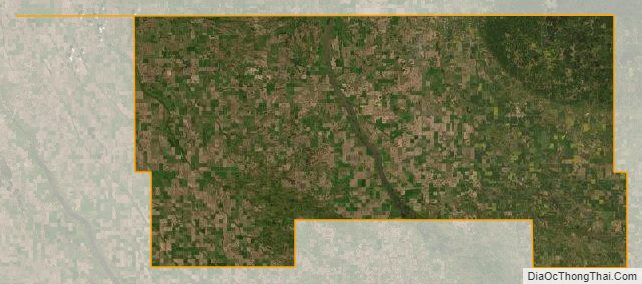
Bottineau County Satellite Map
Bottineau County Outline Map