| Name: | Ector County |
|---|---|
| FIPS code: | 48-135 |
| State: | Texas |
| Founded: | 1891 |
| Named for: | Mathew Ector |
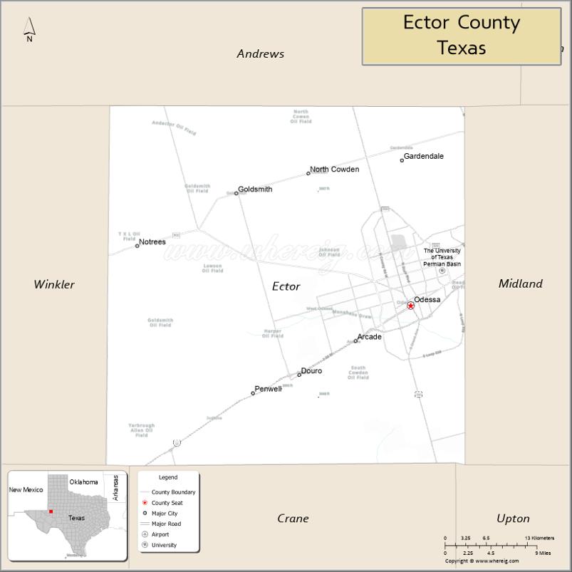
| Seat: | Odessa |
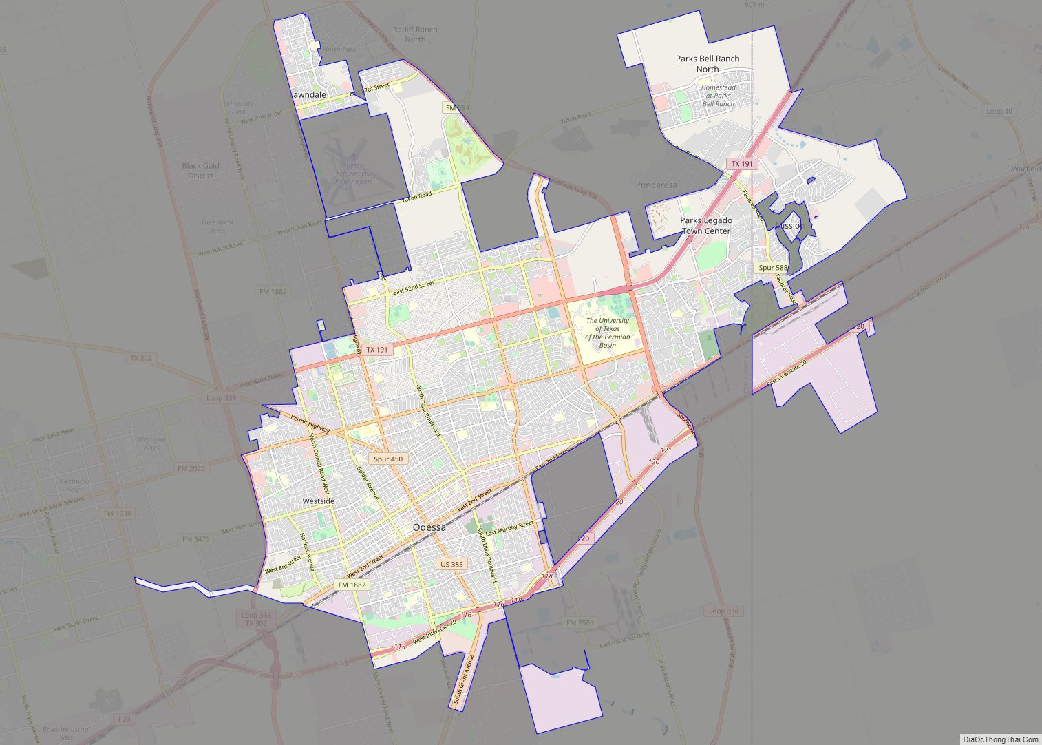
| Largest city: | Odessa |
| Total Area: | 902 sq mi (2,340 km²) |
| Land Area: | 898 sq mi (2,330 km²) |
| Total Population: | 165,171 |
| Population Density: | 180/sq mi (71/km²) |
| Time zone: | UTC−6 (Central) |
| Summer Time Zone (DST): | UTC−5 (CDT) |
| Website: | www.co.ector.tx.us |
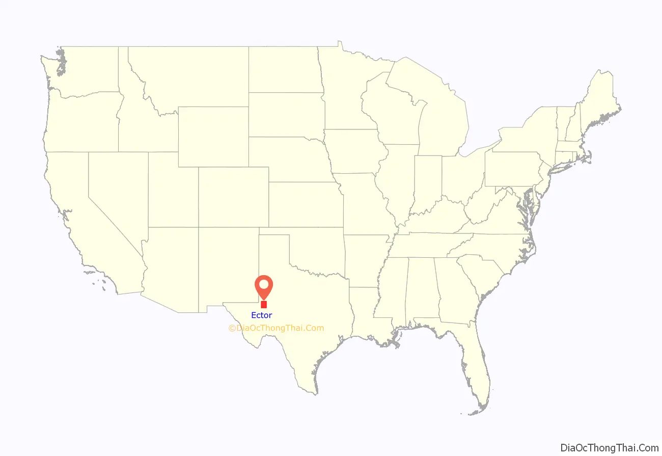
Ector County location map. Where is Ector County?
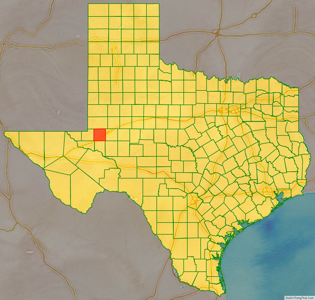
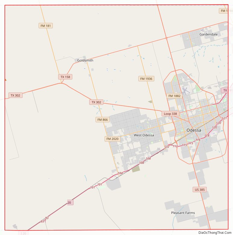
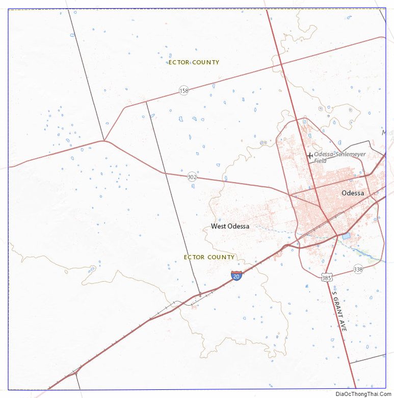
Ector County Road Map
Geography
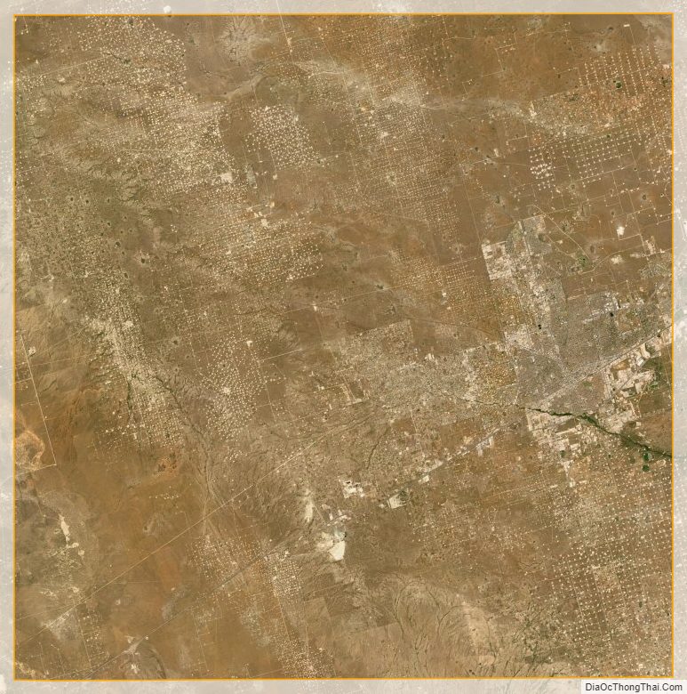
According to the U.S. Census Bureau, the county has a total area of 902 sq mi (2,340 km), of which 898 sq mi (2,330 km) are land and 4.1 sq mi (11 km) (0.5%) are covered by water. Ector County has an average rainfall of about 14 in per year and a warm, sunny, semiarid climate. Most of the county is relatively flat, with small areas of slightly rolling terrain. The area is known for its stark landscape. The few naturally occurring trees are mostly mesquite trees, which more resemble large bushes.
Major highways
- I-20
- I-20 BL
- US 385
- SH 158
- SH 181
- SH 191
- SH 302
- Spur 450
- Spur 588
- Loop 338
- FM 554
- FM 1053
- FM 1601
- FM 1787
- FM 1788
- FM 1882
- FM 1936
- FM 2019
- FM 2020
- FM 3472
- FM 3503
Adjacent counties
- Andrews County (north)
- Midland County (east)
- Upton County (southeast)
- Crane County (south)
- Ward County (southwest)
- Winkler County (west)
Ector County Topographic Map
Ector County Satellite Map
Ector County Outline Map