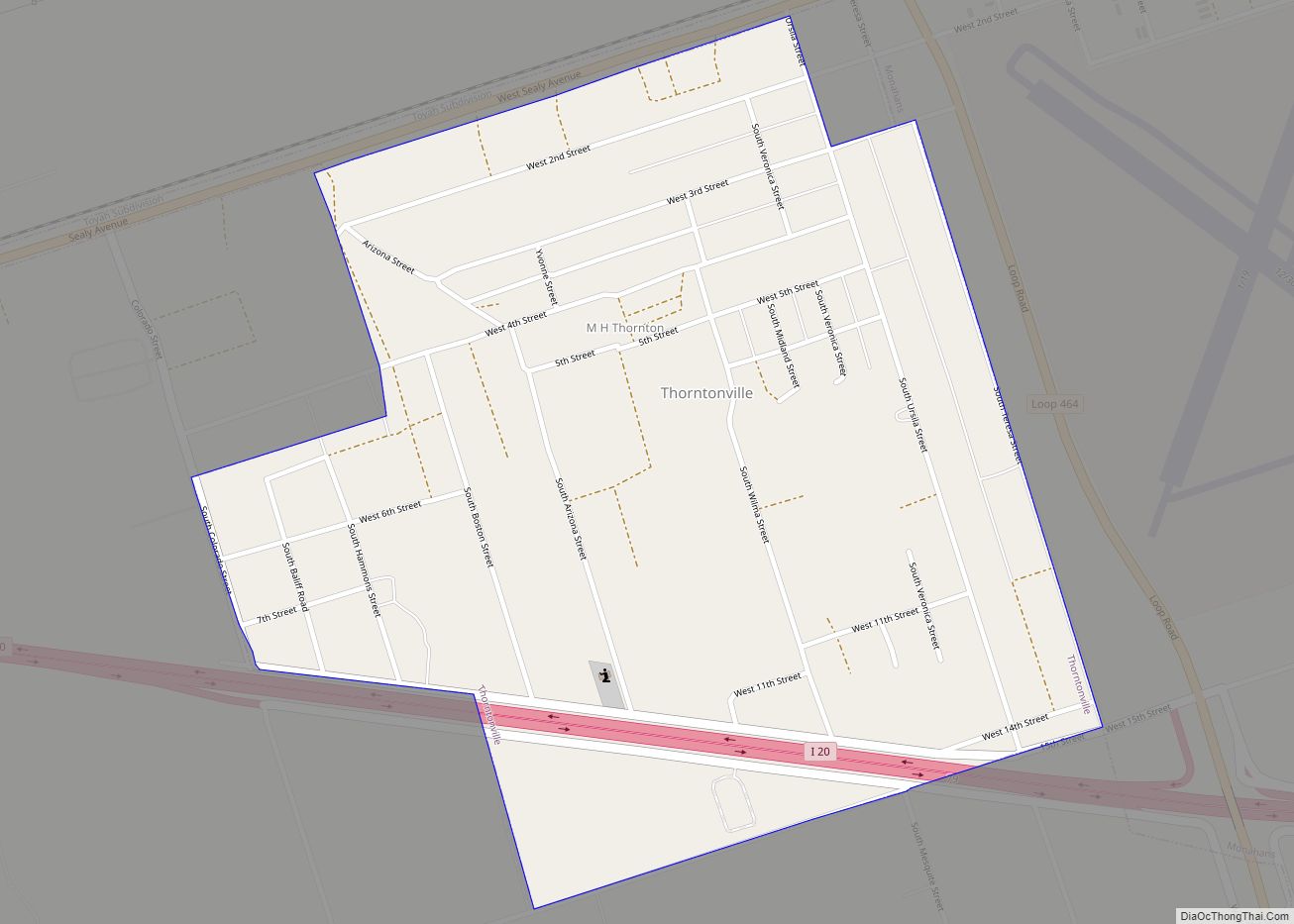
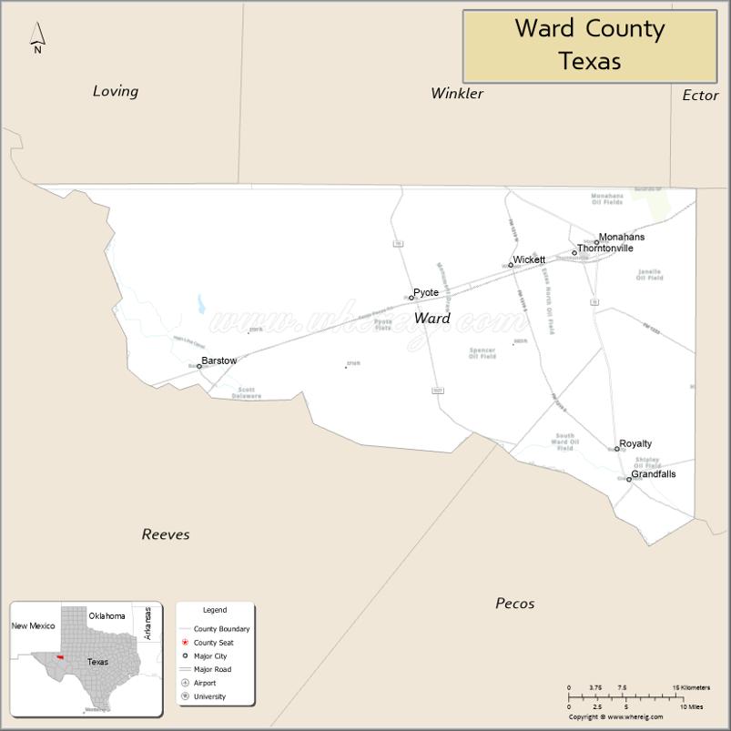
Ward County is a county located in the U.S. state of Texas. As of the 2020 census, its population was 11,644. The county seat is Monahans. The county was created in 1887 and organized in 1892. It is named for Thomas W. Ward, a soldier in the Texas Revolution.
| Name: | Ward County |
|---|---|
| FIPS code: | 48-475 |
| State: | Texas |
| Founded: | 1892 |
| Named for: | Thomas W. Ward |
| Seat: | Monahans |
| Largest city: | Monahans |
| Total Area: | 836 sq mi (2,170 km²) |
| Land Area: | 836 sq mi (2,170 km²) |
| Total Population: | 11,644 |
| Population Density: | 14/sq mi (5.4/km²) |
| Time zone: | UTC−6 (Central) |
| Summer Time Zone (DST): | UTC−5 (CDT) |
| Website: | www.co.ward.tx.us |
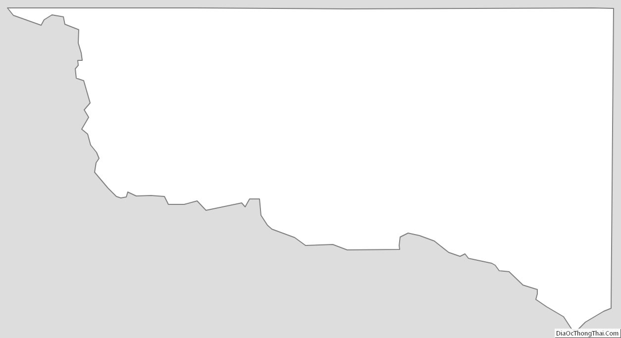
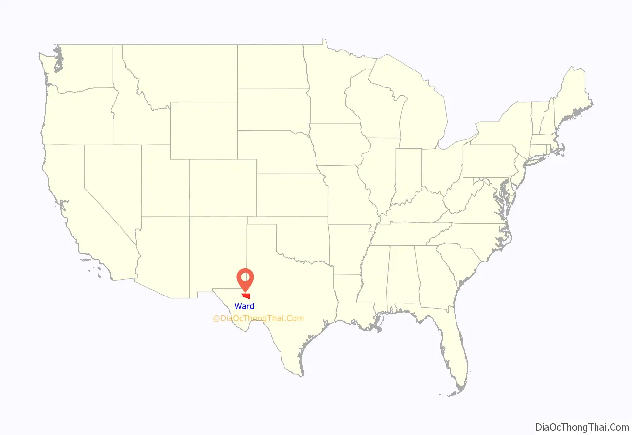
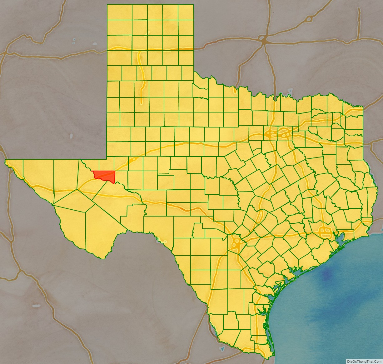
Ward County location map. Where is Ward County?
History
Native Americans
Archeological investigations conducted in northwestern Ward County have found evidence of prehistoric man in the form of occupational debris, petroglyphs, and pictographs. Tribes occupying the area include Suma-Jumano, Apache, and Comanche. The sand hills have contained native artifacts.
Growth
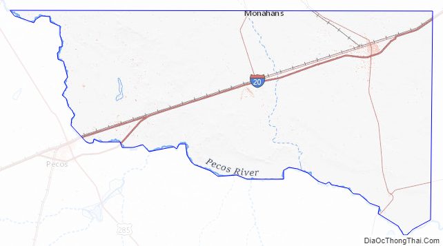
The Butterfield Overland Mail in 1858 used Emigrant’s Crossing, where exposed rocks afford one of the few places safe for fording the Pecos River. The stage line had an adobe station and a high-walled adobe corral there.
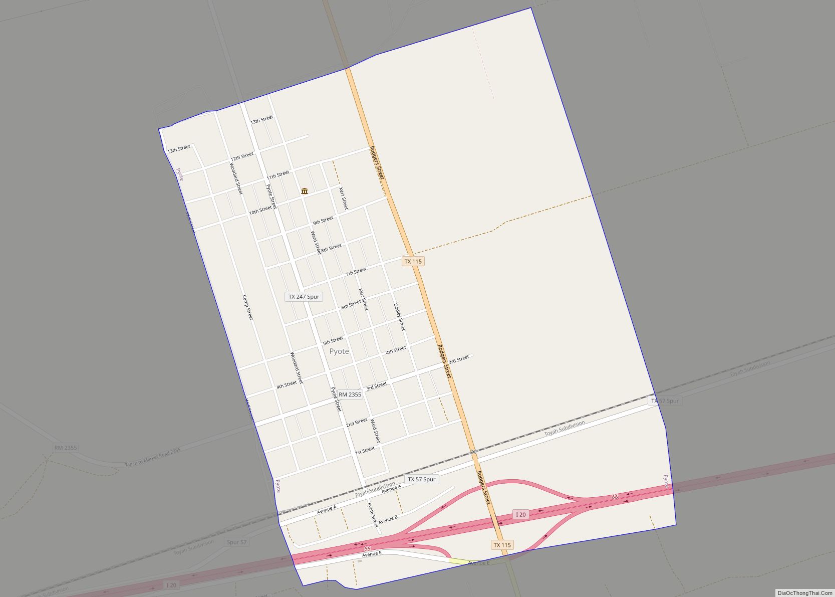
In 1881, the Texas and Pacific Railway crossed the region and established stations at Sand Hills, Monahans, Aroya, Pyote, Quito, Quito Quarry, and Barstow.
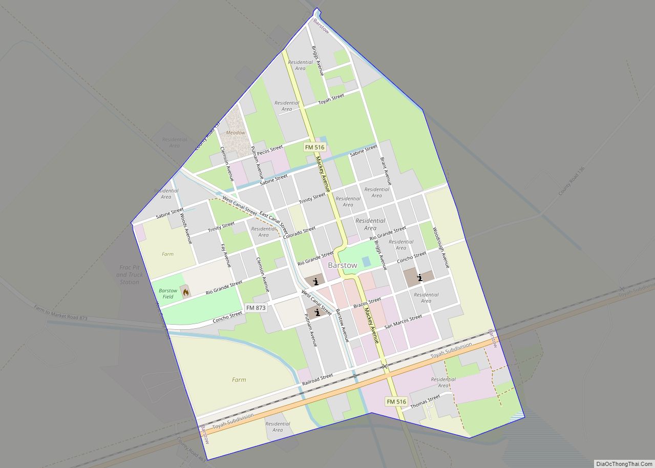
The Texas State Legislature carved Ward County from a portion of Tom Green County in 1887. The county was organized in 1892. Barstow became the county seat. Barstow became a farming and ranching trade center by 1904. Drought plagued the area in the early part of the 20th century.
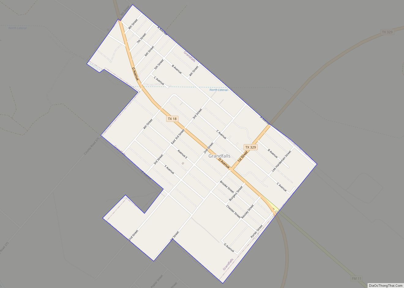
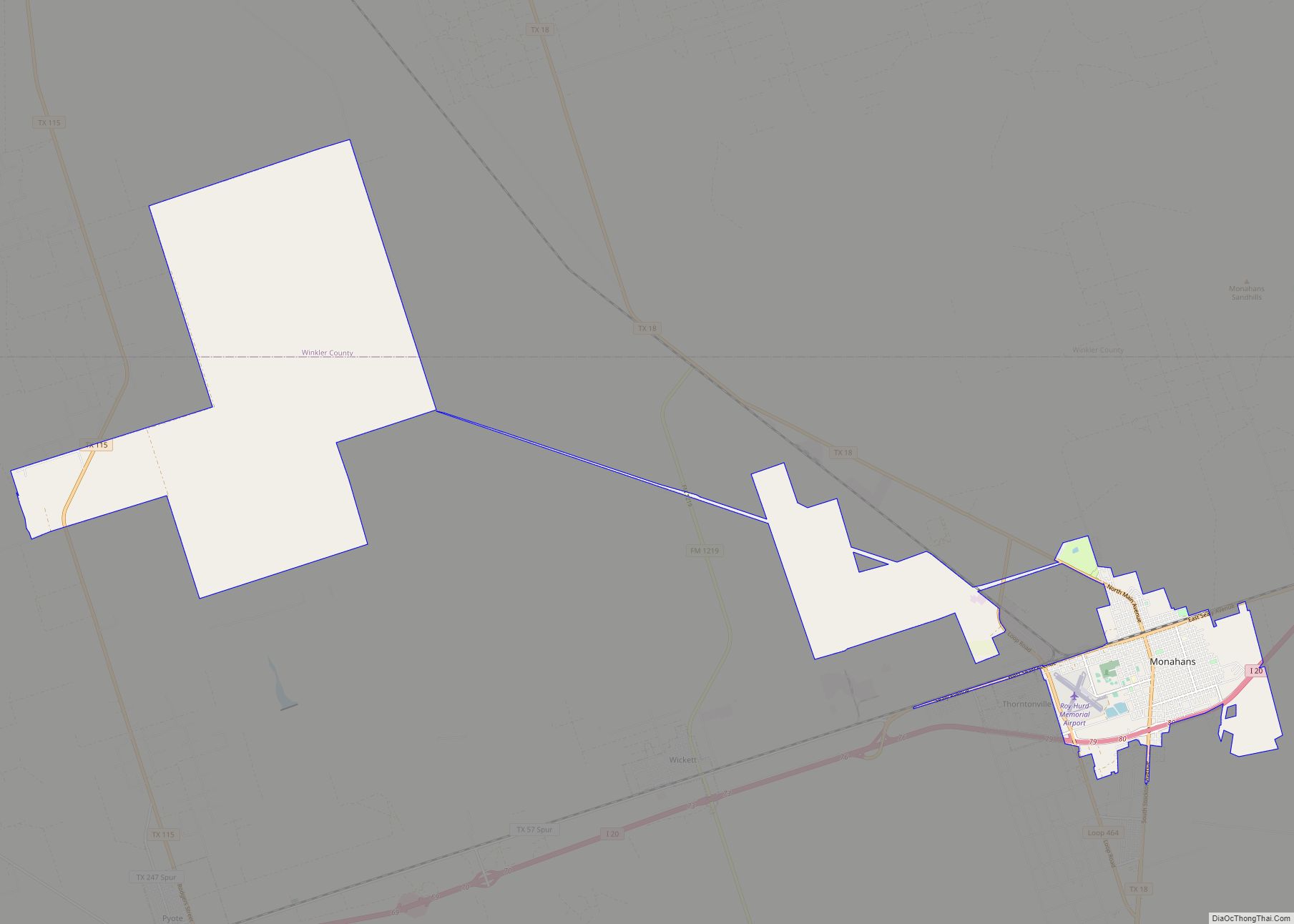
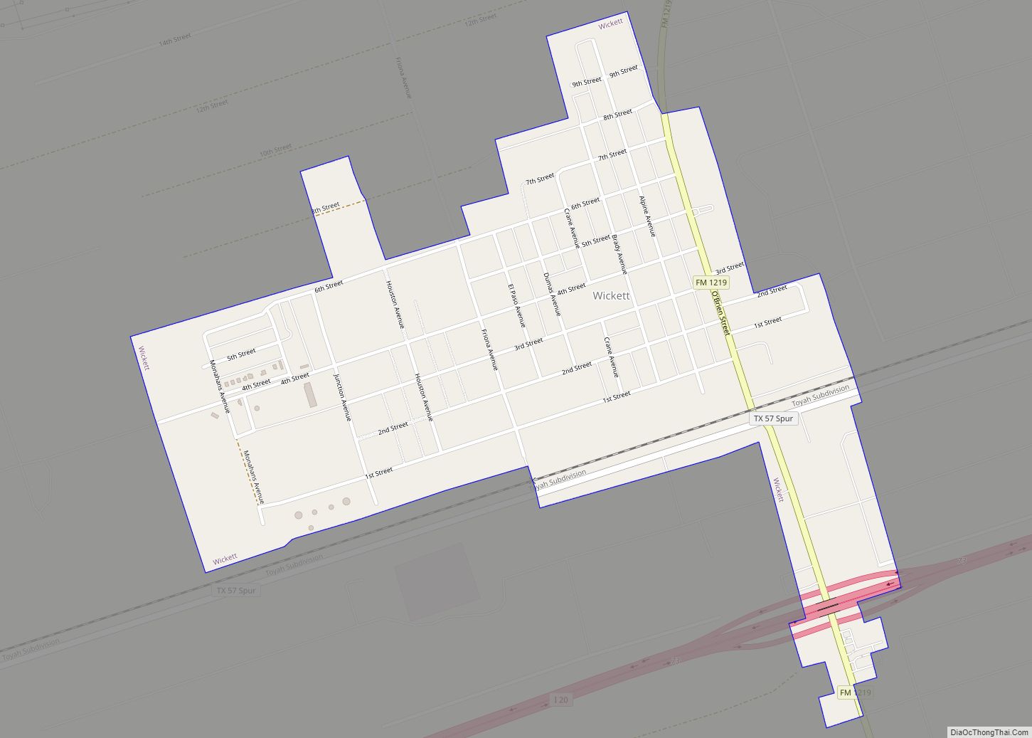
Ward County benefitted from the opening of the Hendrick oilfield Winkler County in 1926. Pipelines and railroad loading tanks were constructed at Wickett, Pyote, and Monahans. Oil was discovered at Grandfalls in 1929, and the nearby community of Royalty was established. Shell Oil Company constructed an 8-acre (32,000 m) tank that would hold a million barrels. By January 1, 1991, 668,715,000 barrels (106,317,200 m) of oil had been produced in the county since 1928.
On May 10, 1938, Monahans won a contested election to move the county seat from Barstow. The election was upheld in 1939, and the county seat moved to Monahans that year.
Pyote Air Force Station opened in 1942, becoming the largest bomber installation in the United States. The plane Enola Gay, which dropped the atomic bomb on Hiroshima, was later stored here. The base became inactive during the Korean War.
Monahans Sandhills State Park opened in 1957. The Sealy-Smith Foundation leased much of the land to the state in 1956 until 2056. An additional 900 acres (3.6 km) were leased from the Williams family of Monahans.
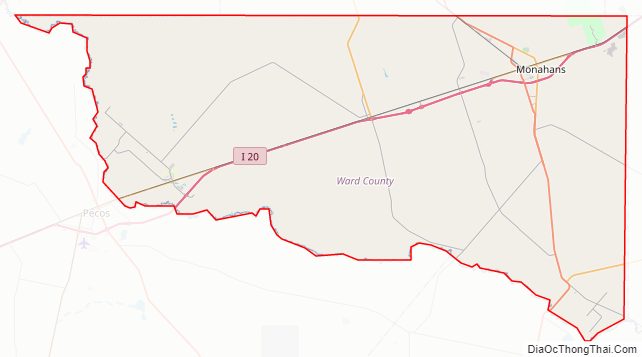
Ward County Road Map
Geography
According to the U.S. Census Bureau, the county has a total area of 836 square miles (2,170 km), of which 836 sq mi (2,170 km) are land and 0.2 sq mi (0.52 km) (0.03%) is covered by water.
Major highways
- Interstate 20
- State Highway 18
- State Highway 115
- State Highway 329
Adjacent counties
- Winkler County (north)
- Ector County (northeast)
- Crane County (east)
- Pecos County (south)
- Reeves County (west)
- Loving County (northwest)
Ward County Topographic Map
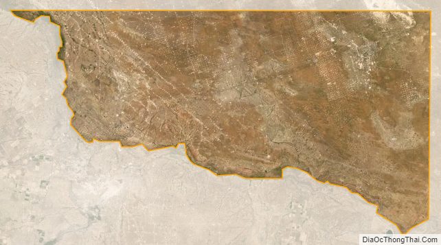
Ward County Satellite Map
Ward County Outline Map