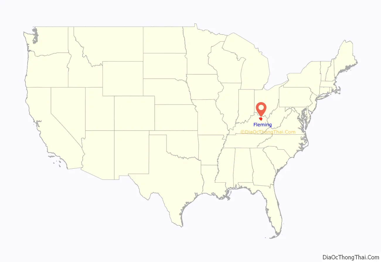
Fleming County is a county located in the U.S. state of Kentucky. As of the 2020 census, the population was 15,082. Its county seat is Flemingsburg. The county was formed in 1798 and named for Colonel John Fleming, an Indian fighter and early settler. It is a moist county. In 1998, the Kentucky General Assembly designated Fleming County as the Covered Bridge Capital of Kentucky.
| Name: | Fleming County |
|---|---|
| FIPS code: | 21-069 |
| State: | Kentucky |
| Founded: | 1798 |
| Named for: | John Fleming (1735–1791), early settler of Kentucky |
| Seat: | Flemingsburg |
| Largest city: | Flemingsburg |
| Total Area: | 351 sq mi (910 km²) |
| Land Area: | 349 sq mi (900 km²) |
| Total Population: | 15,082 |
| Population Density: | 43/sq mi (17/km²) |
| Time zone: | UTC−5 (Eastern) |
| Summer Time Zone (DST): | UTC−4 (EDT) |
| Website: | www.flemingkychamber.com |
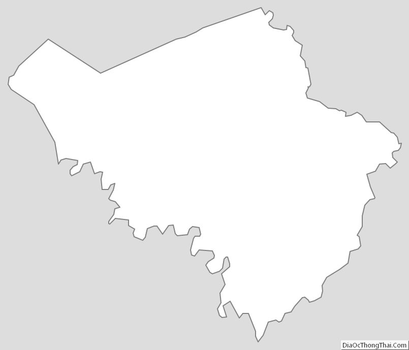
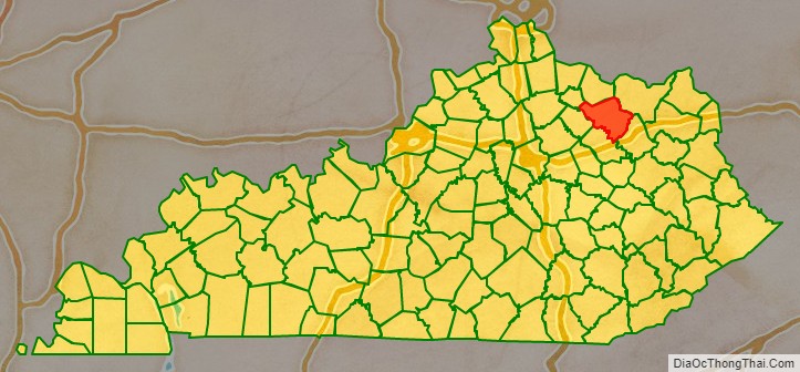
Fleming County location map. Where is Fleming County?
History
Fleming County was established in 1798 from land given by Mason County. The first courthouse, possibly built of logs, was replaced in 1830 and again in 1952.
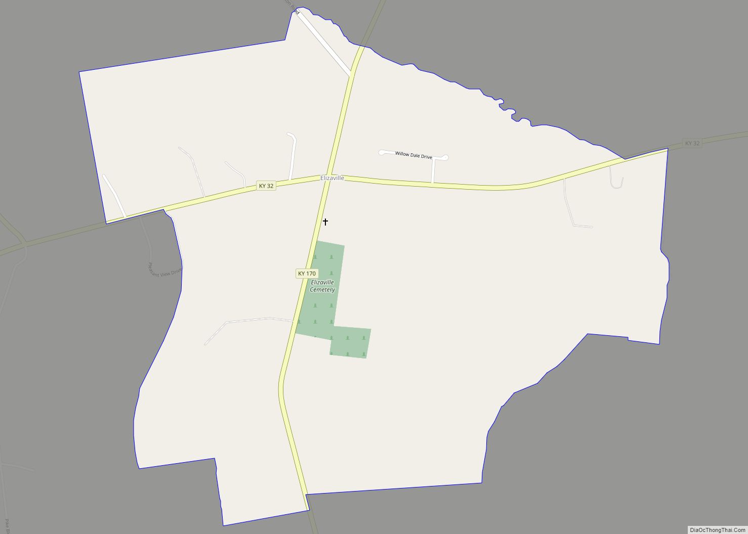
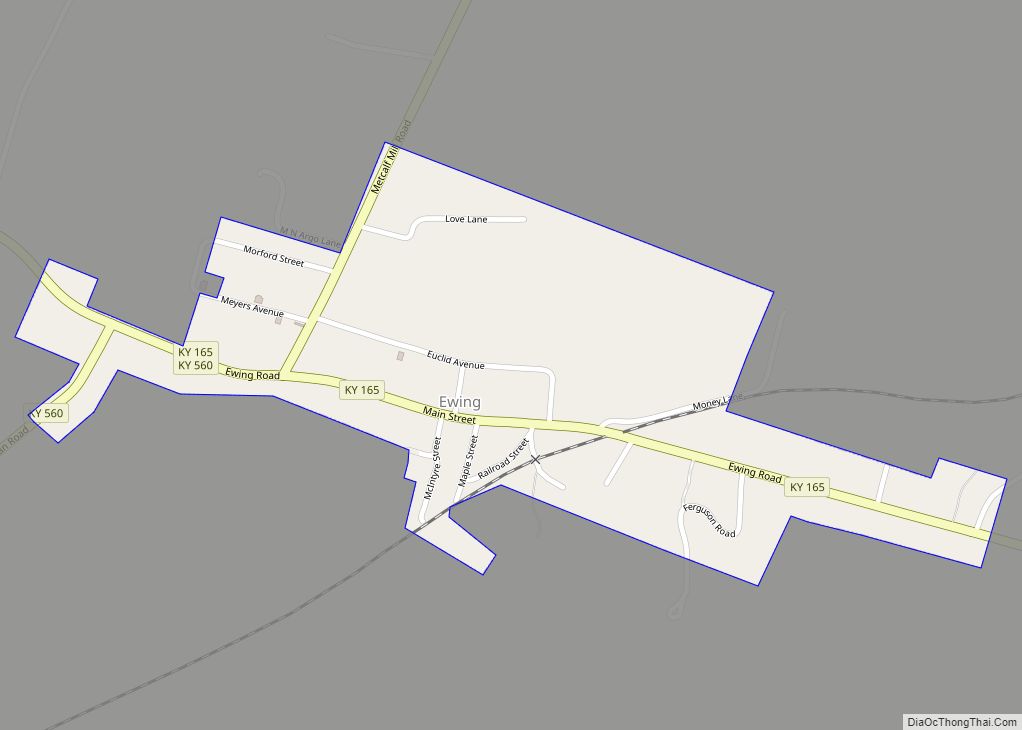
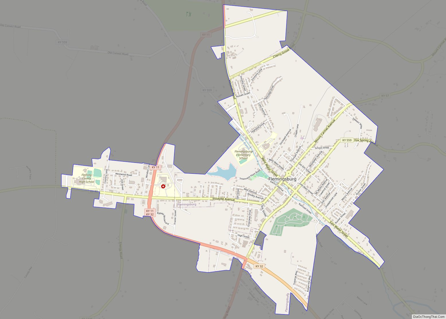
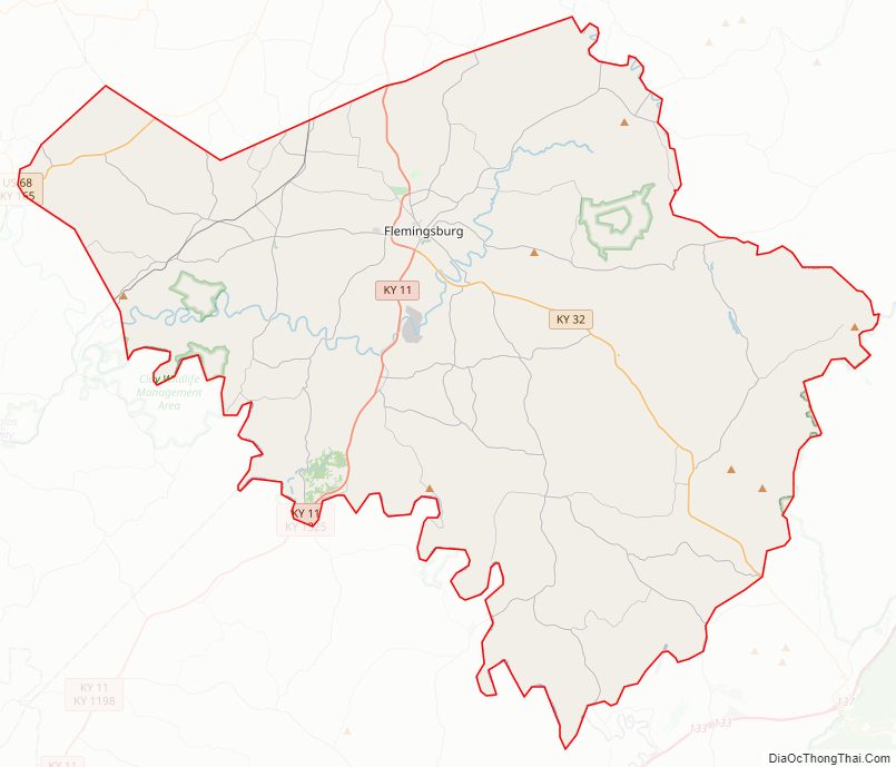
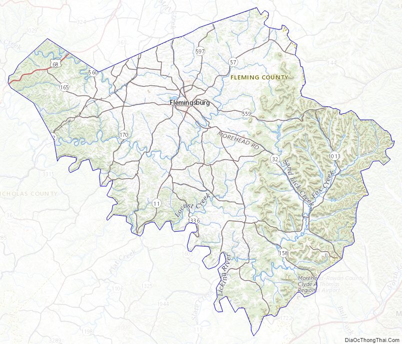
Fleming County Road Map
Geography
According to the United States Census Bureau, the county has a total area of 351 square miles (910 km), of which 349 square miles (900 km) is land and 2.8 square miles (7.3 km) (0.8%) is water.
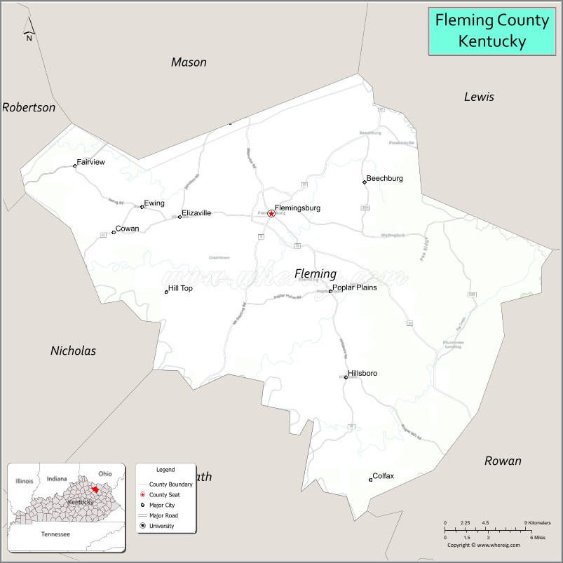
Adjacent counties
- Mason County (north)
- Lewis County (northeast)
- Rowan County (southeast)
- Bath County (south)
- Nicholas County (west)
- Robertson County (northwest)
Fleming County Topographic Map
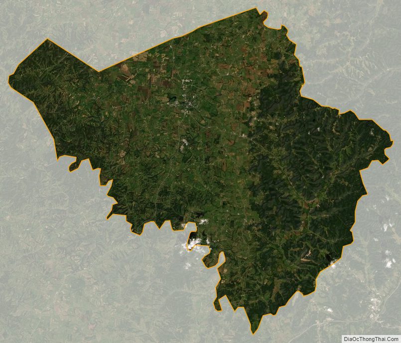
Fleming County Satellite Map
Fleming County Outline Map