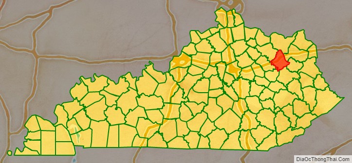
Rowan County (/ˈroʊ.ɪn/, /raʊn/) is a county located in the northeastern part of the U.S. state of Kentucky, in the Eastern Kentucky Coalfield region. As of the 2020 census, the population was 24,662. Its county seat is Morehead. The county was created in 1856 from parts of Fleming and Morgan counties, and named after John Rowan, who represented Kentucky in the House of Representatives and the Senate. With regard to the sale of alcohol, it is classified as a moist county in which alcohol sales are prohibited, but unlike a dry county, it contains a “wet” city, Morehead, where packaged alcohol sales are allowed.
| Name: | Rowan County |
|---|---|
| FIPS code: | 21-205 |
| State: | Kentucky |
| Founded: | 1856 |
| Named for: | John Rowan |
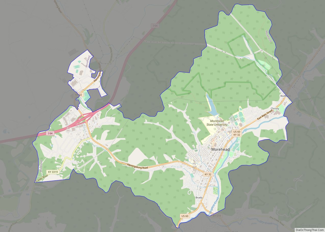
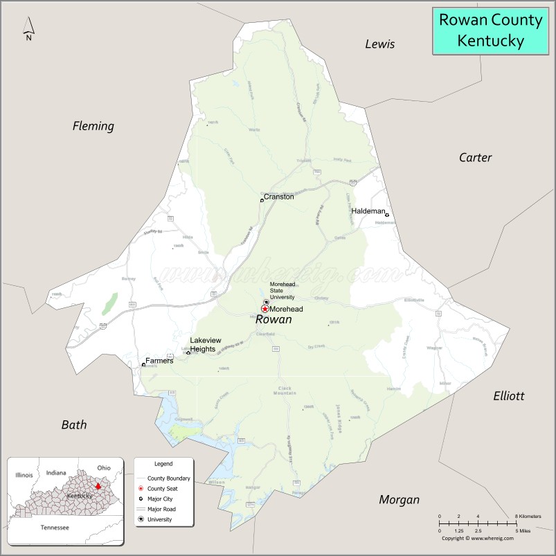
| Seat: | Morehead |
| Largest city: | Morehead |
| Total Area: | 286 sq mi (740 km²) |
| Land Area: | 280 sq mi (700 km²) |
| Total Population: | 24,662 |
| Population Density: | 86/sq mi (33/km²) |
| Time zone: | UTC−5 (Eastern) |
| Summer Time Zone (DST): | UTC−4 (EDT) |
| Website: | www.moreheadrowan.org/rowancounty |
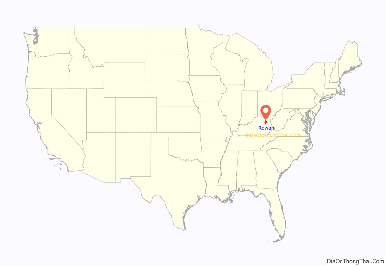
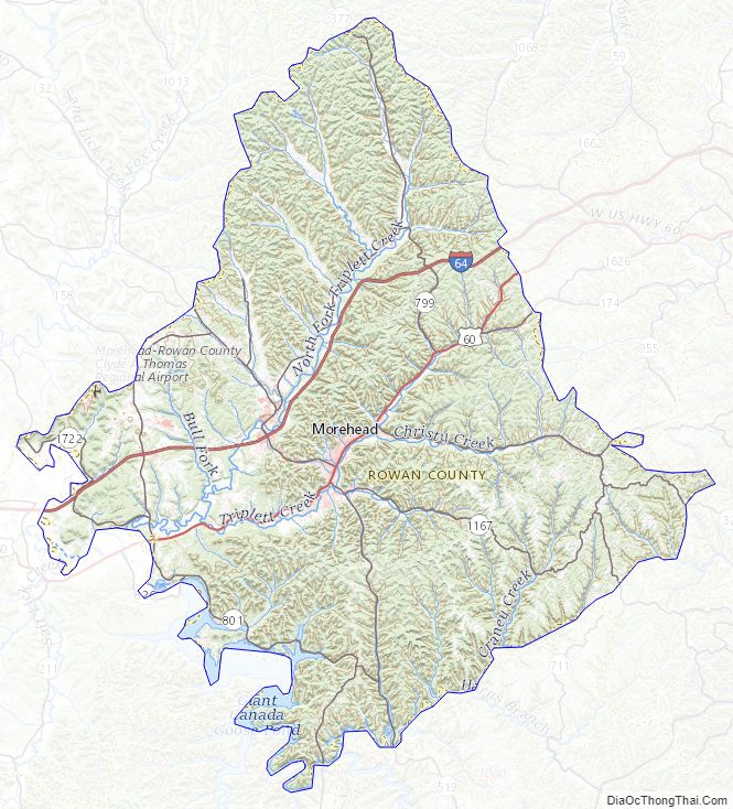
Rowan County location map. Where is Rowan County?
History
It is believed that Rowan County was first explored by those of European descent in 1773 by a party of surveyors from Pennsylvania. The first settlement was established in Farmers, a town 10 miles west of Morehead. Its population rapidly increased due its fertile farming land and proximity to water sources. Additional settlers came to Rowan County from Virginia in the late 18th century after being awarded land grants at the end of the American Revolutionary War. Clearfield was the second settlement established in the county, being colonized by a Virginia aristocrat named Dixon Clack in the early 1800s. It accommodated the first sawmill in the county.
In 1854, Morehead became the third community to be settled in the area. Colonel John Hargis founded the city after purchasing land in the county, naming it after governor James Morehead. Rowan County came into existence in May 1856, seceding from Morgan County and Fleming County. It was divided into four districts with Morehead being declared the county seat. In 1896, a tax was levied on Morehead, sourcing it with the revenue needed to construct hard surface roads. The road system was extended to Farmers by 1920. in 1971 Rowan county senior high school was built
In summer 2015, Rowan County attracted national attention when County Clerk Kim Davis refused, on grounds of religion, to follow a court order requiring her to issue marriage licenses to same-sex couples.
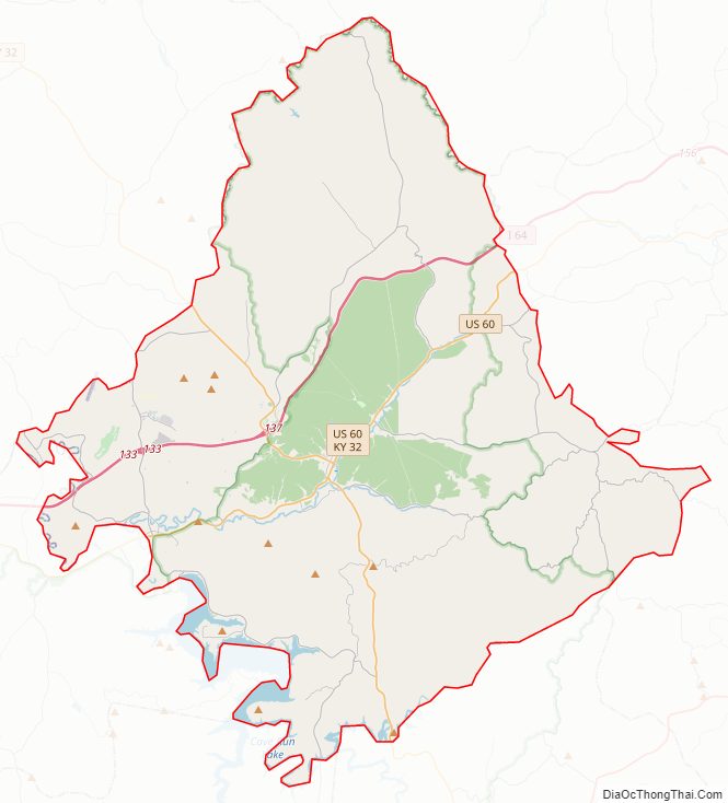
Rowan County Road Map
Geography
According to the United States Census Bureau, the county has a total area of 286 square miles (740 km), of which 280 square miles (730 km) is land and 6.5 square miles (17 km) (2.3%) is water. Its highest point is “Limestone Knob” at about 1,409 feet (429 m) above mean sea level.
Adjacent counties
- Lewis County (north)
- Carter County (northeast)
- Elliott County (east)
- Morgan County (south)
- Menifee County (southwest)
- Bath County (west)
- Fleming County (northwest)
National protected area
- Daniel Boone National Forest (part)
Rowan County Topographic Map
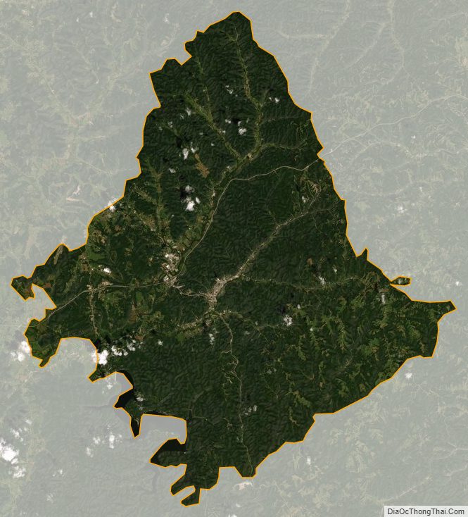
Rowan County Satellite Map
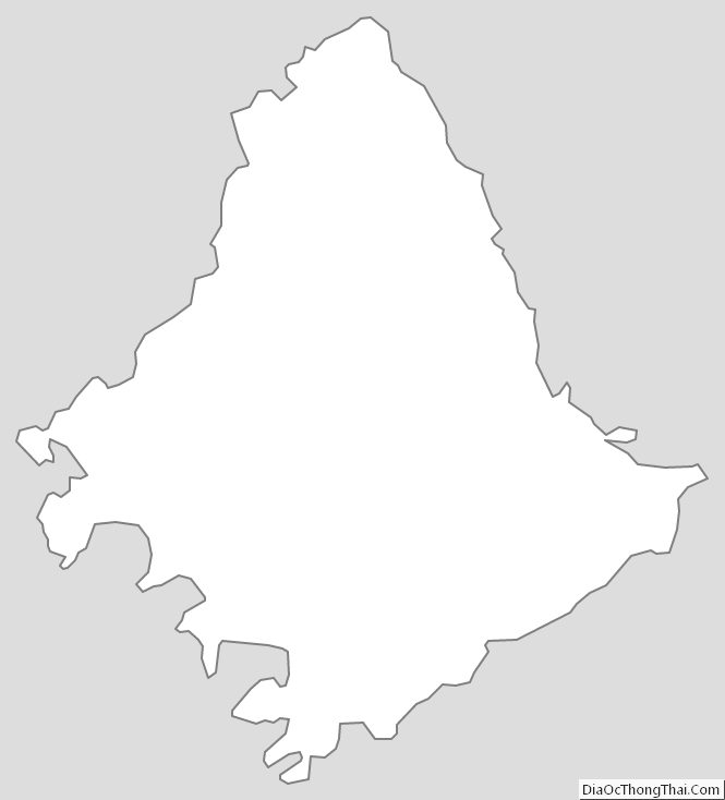
Rowan County Outline Map