Franklin County is a county located in the U.S. state of Idaho. As of the 2020 Census the county had a population of 14,194. The county seat and largest city is Preston. The county was established in 1913 and named after Franklin D. Richards, an Apostle of the Church of Jesus Christ of Latter-day Saints. It is the only Franklin County in the United States that is not named after Benjamin Franklin. Franklin County is part of the Logan, UT-ID Metropolitan Statistical Area.
| Name: | Franklin County |
|---|---|
| FIPS code: | 16-041 |
| State: | Idaho |
| Founded: | January 20, 1913 |
| Named for: | Franklin D. Richards |
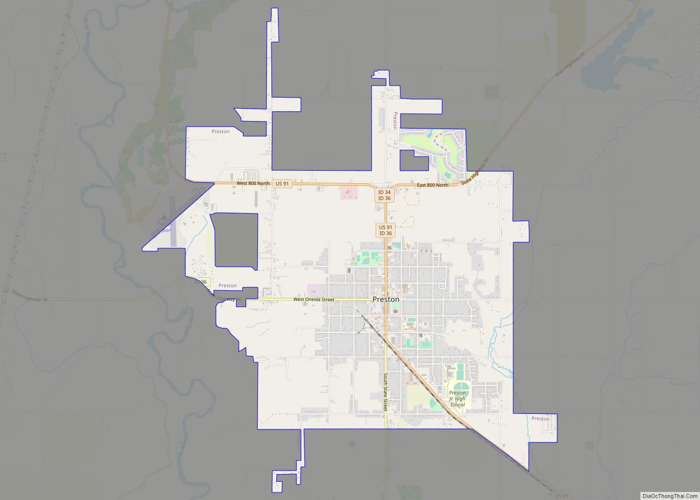
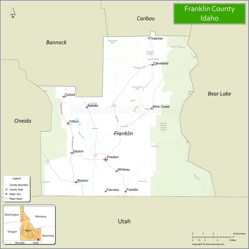
| Seat: | Preston |
| Largest city: | Preston |
| Total Area: | 668 sq mi (1,730 km²) |
| Land Area: | 664 sq mi (1,720 km²) |
| Total Population: | 14,194 |
| Population Density: | 21.2/sq mi (8.2/km²) |
| Time zone: | UTC−7 (Mountain) |
| Summer Time Zone (DST): | UTC−6 (MDT) |
| Website: | franklincountyidaho.org |
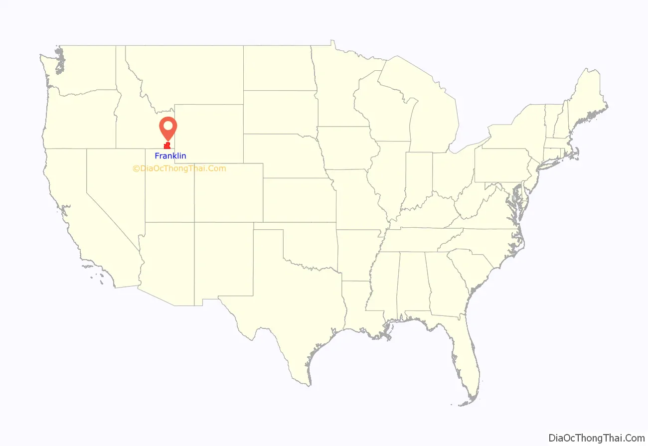
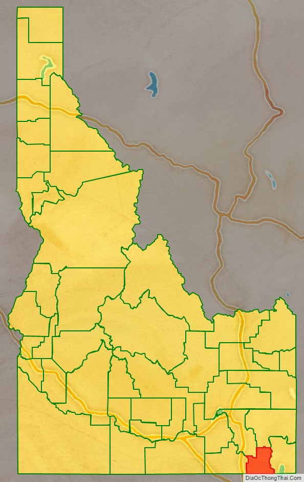
Franklin County location map. Where is Franklin County?
History
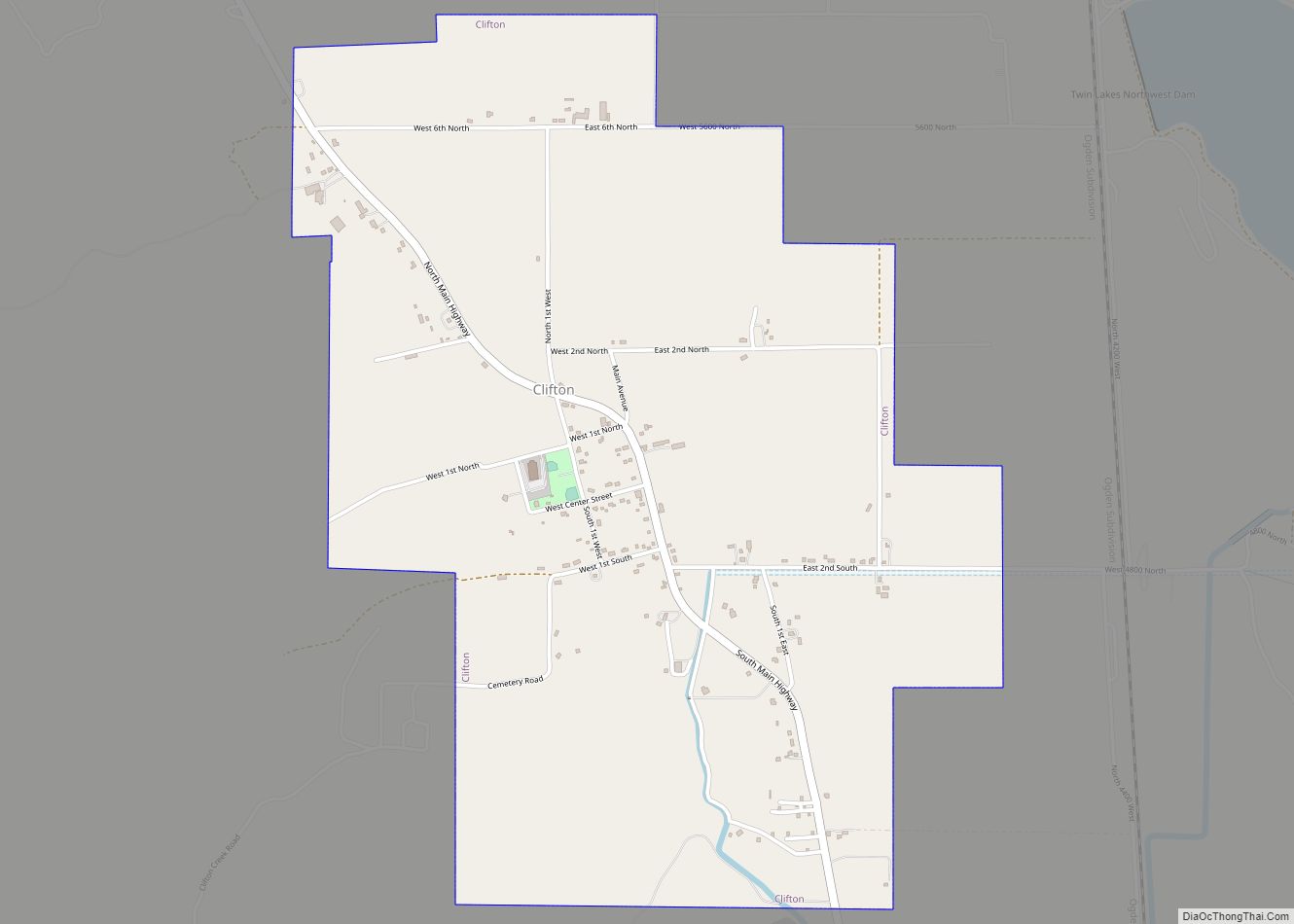
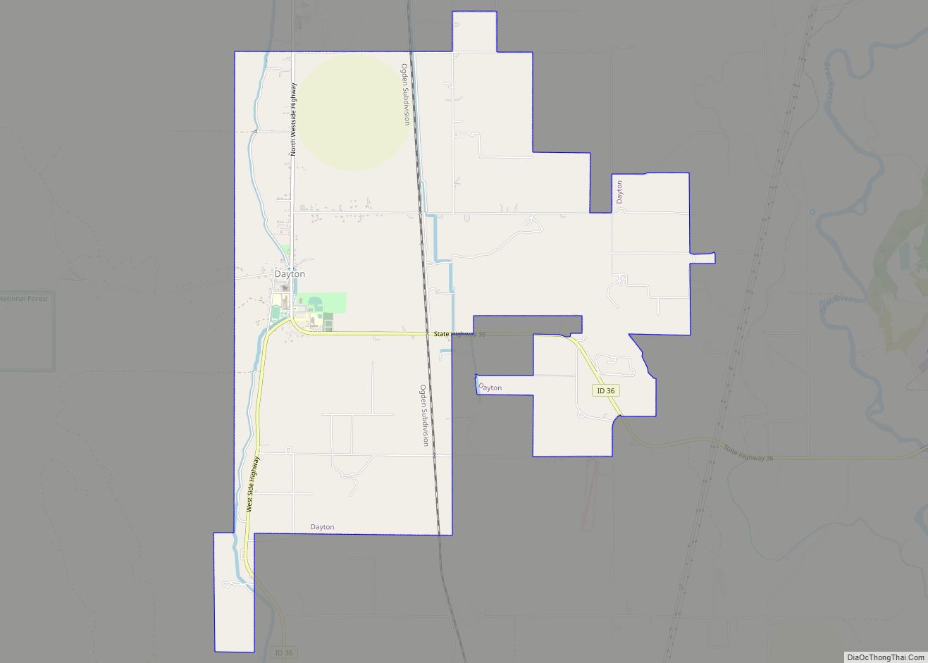
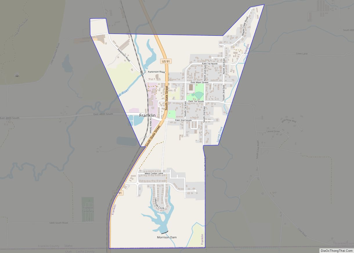
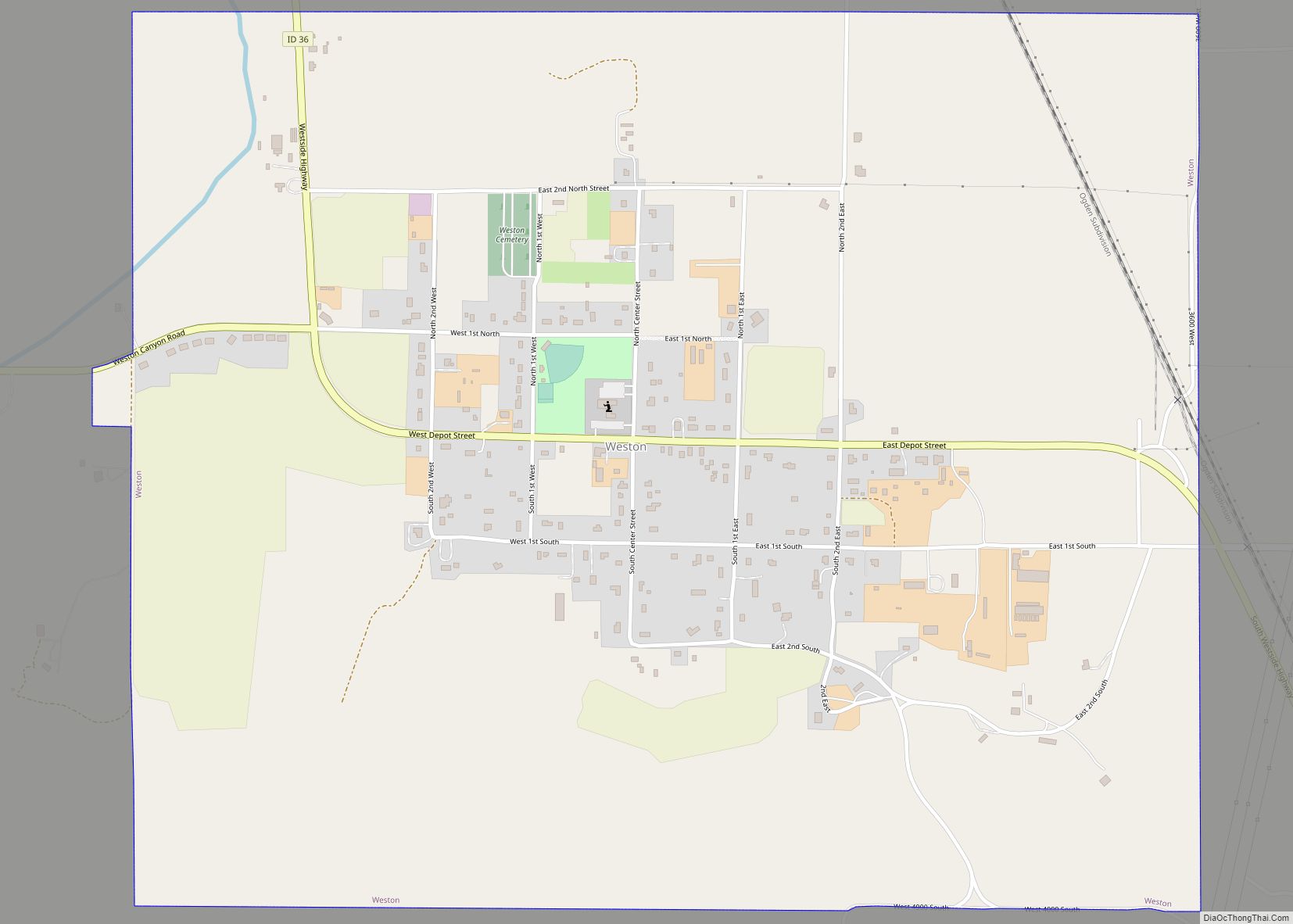
Idaho’s oldest permanent non-native settlement occurred at Franklin on April 14, 1860, when Mormon settlers led by Thomas S. Smart established the settlement at its present location on the Cub River. It was the seventh and northernmost settlement in the Cache Valley at the time of its settlement and was believed to be in Utah until the Idaho boundary with Utah was finalized in 1872. All of the county’s incorporated cities were settled by 1868 with Oxford settled in 1864, Weston in 1865, Dayton in 1868, Clifton in 1869, and Preston by 1868. The Bear River Massacre took place in present-day Franklin County on January 29, 1863.
While the settlers at Franklin were effectively governed by Utah Territory until 1872, the settlers were actually located within Washington Territory from 1860 to 1863 and not within the boundary of any county until Shoshone was created in 1861. They became part of Idaho County in 1861, and Boise in 1863. And finally, under Idaho Territory, they briefly became part of Owyhee County before being transferred to Oneida County in 1864. At the 1870 census, the three Franklin County precincts were enumerated in Cache County, Utah, containing 1,053 residents. In 1885, the northern portion of the county was transferred to Bingham County at its creation. At the 1890 Census, Bingham and Oneida Counties returned five precincts of Dayton, Franklin, Oxford, Preston, and Treasureton with 4,969 residents. The Oxford and Treasureton precincts were transferred to Bannock County at its establishment in 1893. Bannock County retained the Oxford precinct and renamed the Treasureton Precinct as Cleveland. By 1900, Oneida contained seven precincts that would later be entirely within Franklin County. Together, the nine precincts comprised a population of 6,566 at that time. The Cleveland and Treasureton areas were transferred to Franklin County in 1918. The portion of the Thatcher area in Franklin County remained within Bannock County until 1946.
In 1953, an aircraft carrying 37 Korean War veterans crashed in the mountains of eastern Franklin County, killing all aboard. This is the most deadly aviation accident in Idaho. A memorial was dedicated in 1967. It is locally known as the Pat Hollow crash site.
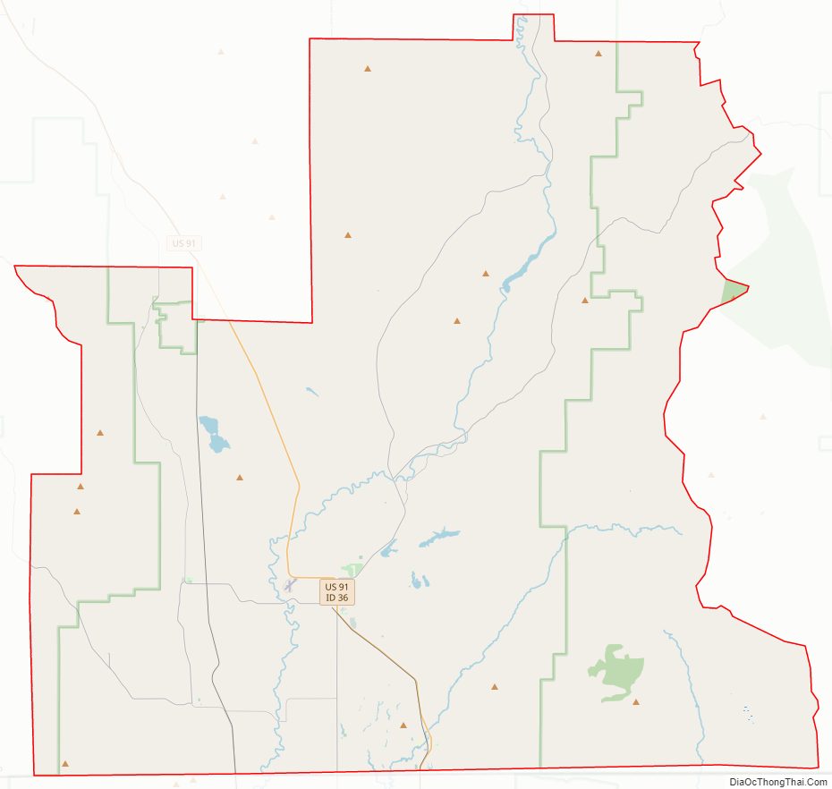
Franklin County Road Map
Geography
According to the U.S. Census Bureau, the county has a total area of 668 square miles (1,730 km), of which 664 square miles (1,720 km) is land and 4.7 square miles (12 km) (0.7%) is water.
Adjacent counties
- Oneida County – west
- Bannock County – northwest
- Caribou County – north
- Bear Lake County – east
- Cache County, Utah – south
Major highways
- US 91
- SH-34
- SH-36
National protected area
- Cache National Forest (part)
- Caribou National Forest (part)
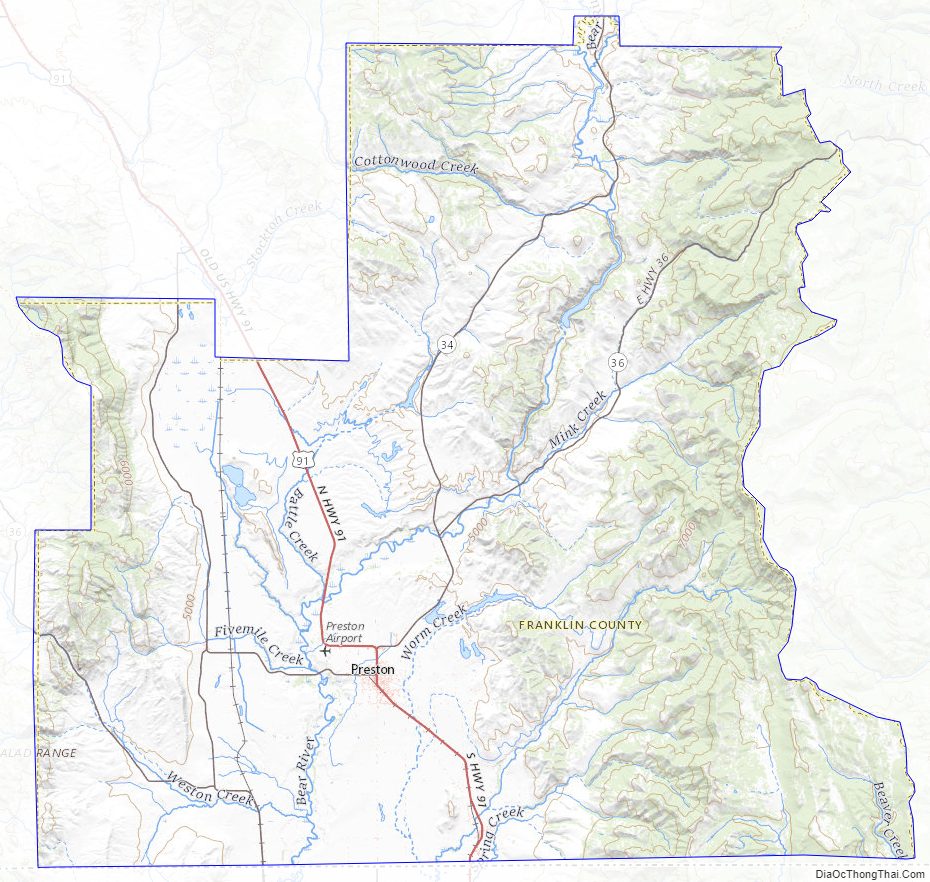
Franklin County Topographic Map
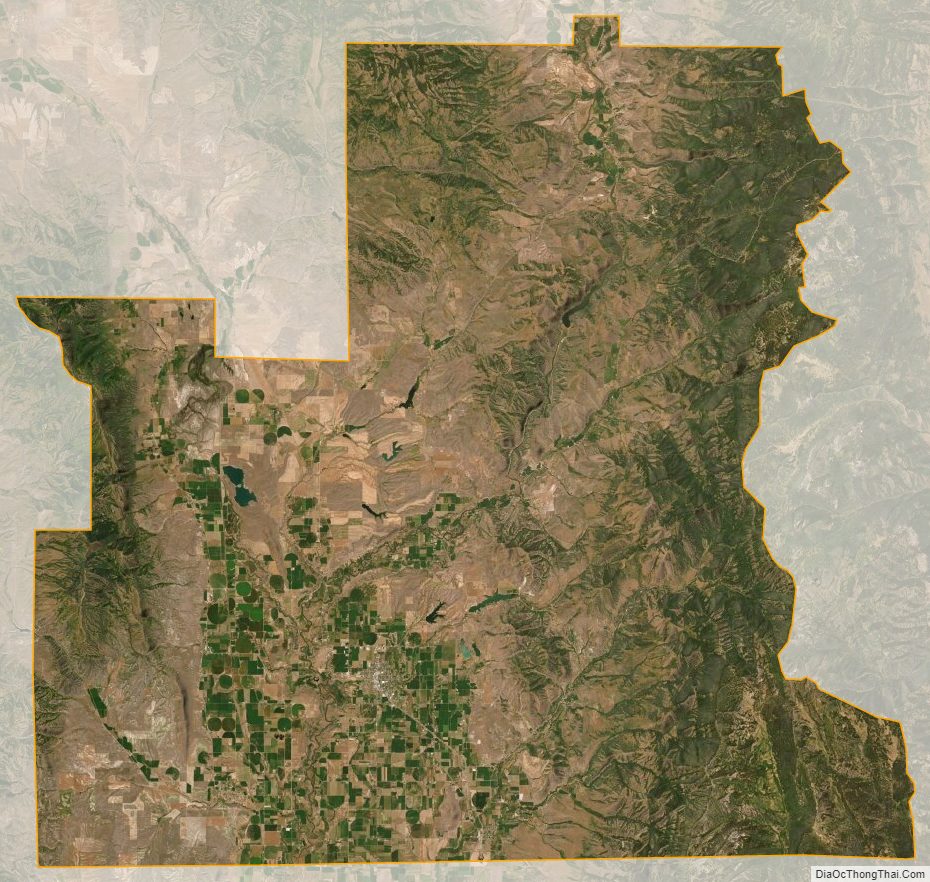
Franklin County Satellite Map
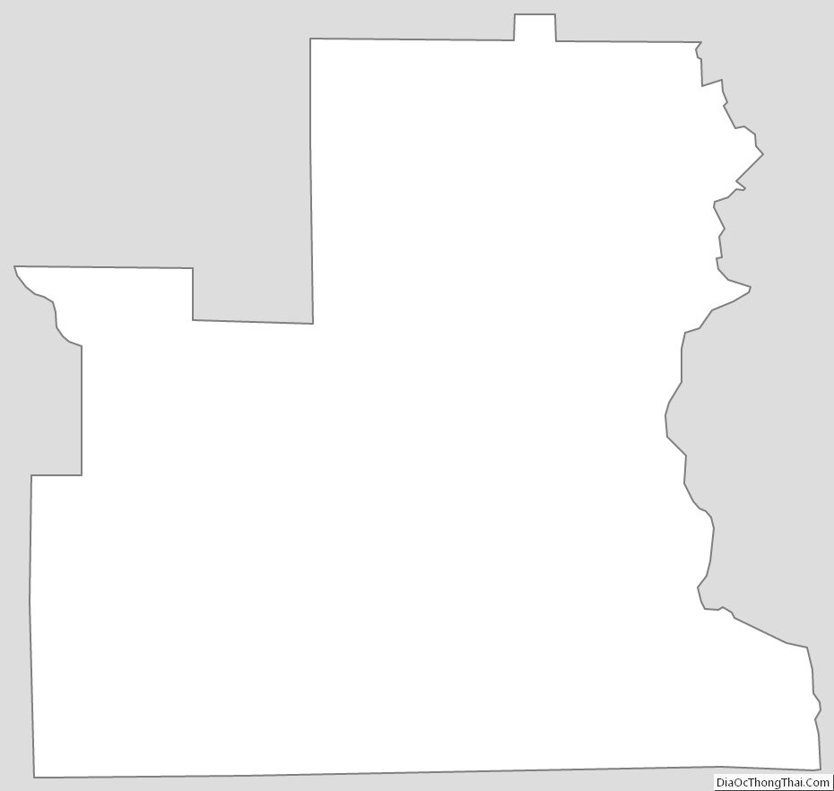
Franklin County Outline Map