Logan is a city in Cache County, Utah, United States. The 2020 census recorded the population was 52,778. Logan is the county seat of Cache County and the principal city of the Logan metropolitan area, which includes Cache County and Franklin County, Idaho. The Logan metropolitan area contained 125,442 people as of the 2010 census and was declared by Morgan Quitno in 2005 and 2007 to be the safest in the United States in those years. Logan also is the location of the main campus of Utah State University.
| Name: | Logan city |
|---|---|
| LSAD Code: | 25 |
| LSAD Description: | city (suffix) |
| State: | Utah |
| County: | Cache County |
| Founded: | 1859 |
| Incorporated: | January 17, 1866 |
| Elevation: | 4,534 ft (1,382 m) |
| Total Area: | 18.43 sq mi (47.74 km²) |
| Land Area: | 17.84 sq mi (46.22 km²) |
| Water Area: | 0.59 sq mi (1.52 km²) |
| Total Population: | 52,778 |
| Population Density: | 2,957.5/sq mi (1,141.89/km²) |
| Area code: | 435 |
| FIPS code: | 4945860 |
| Website: | www.loganutah.org |
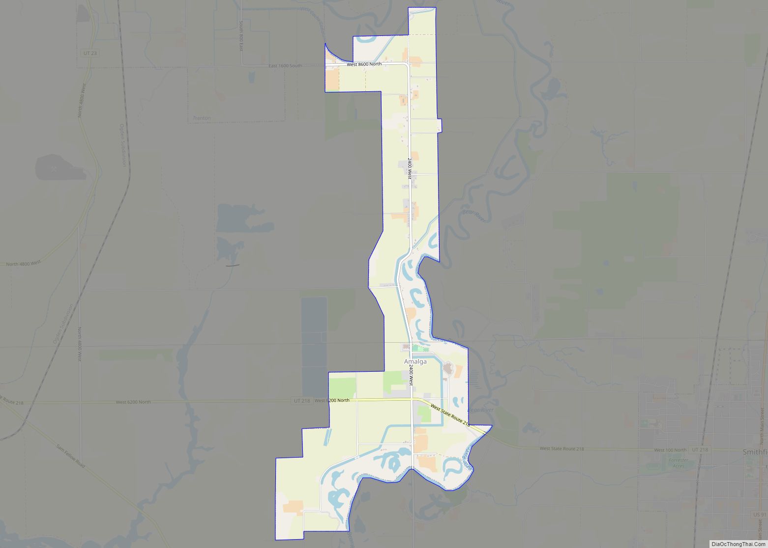
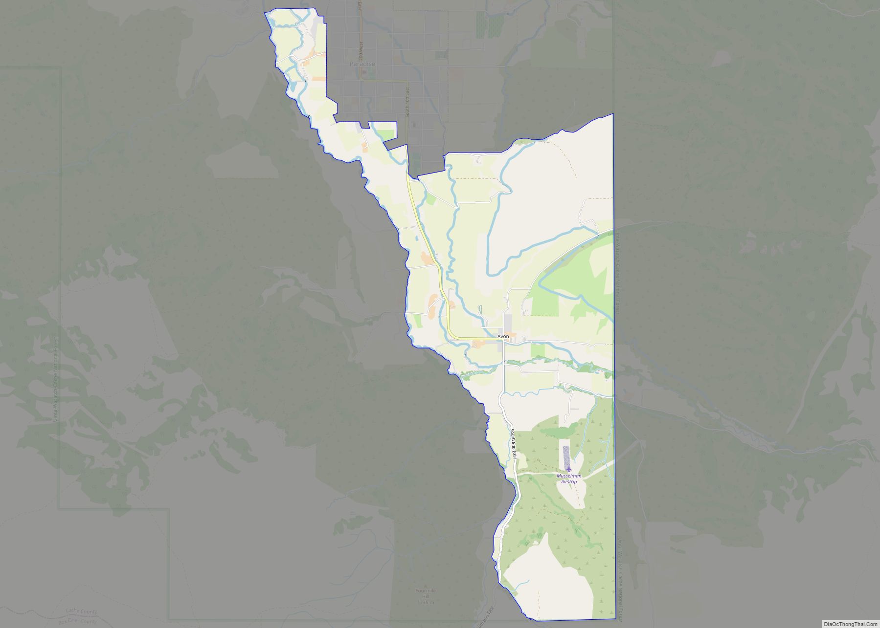
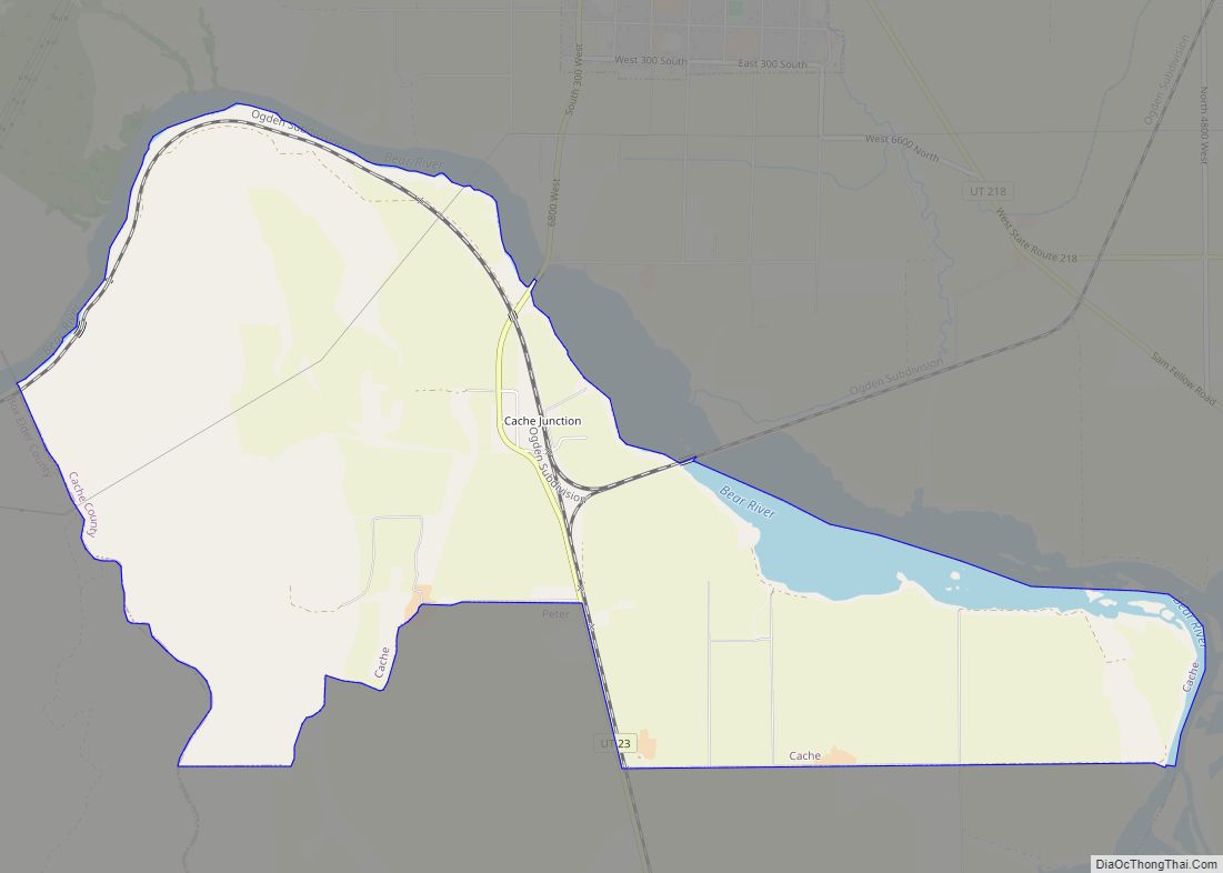
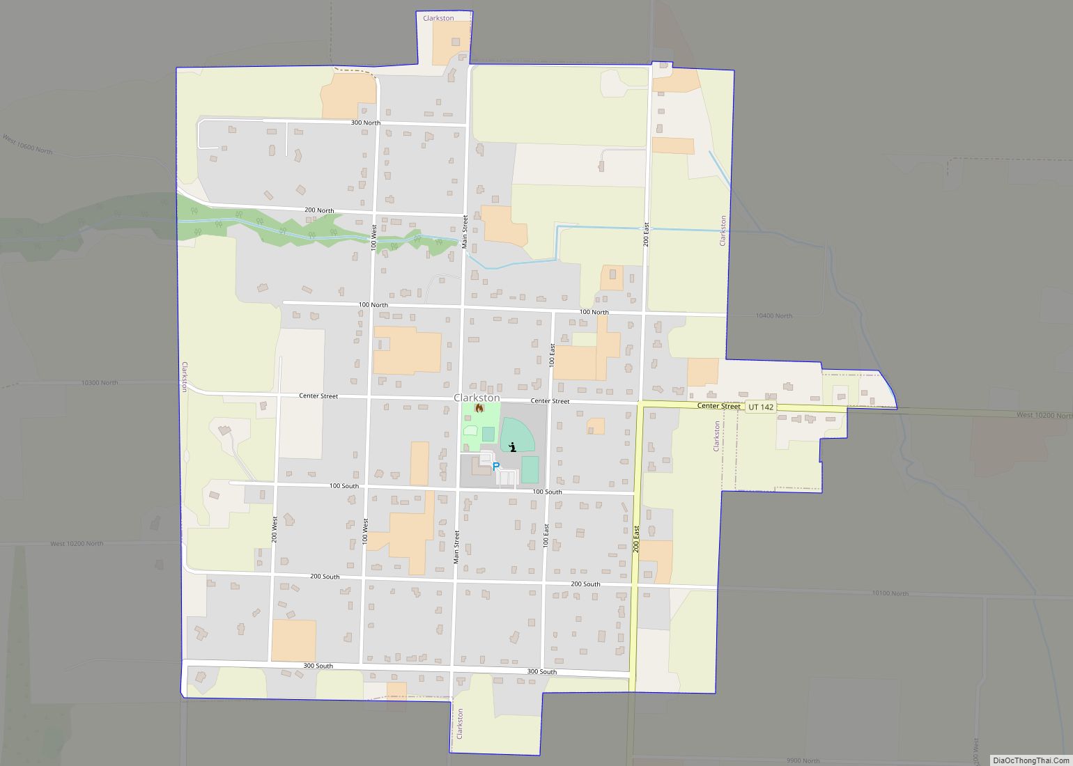
Online Interactive Map
Click on ![]() to view map in "full screen" mode.
to view map in "full screen" mode.
Logan location map. Where is Logan city?


History
The town of Logan was founded in 1859 by settlers sent by Brigham Young to survey for the site of a fort near the banks of the Logan River. They named their new community “Logan” for Ephraim Logan, an early fur trapper in the area. Logan was incorporated on January 17, 1866. Brigham Young College was founded here on August 6, 1877 (and closed in 1926), and Utah State University – then called the Agricultural College of Utah – was founded in 1888.
Logan’s growth reflects settlement and post-war booms along with other changes incidental to conditions in the West. Logan grew to about 20,000 in the mid-1960s, and according to Census estimates, exceeded 50,000 in 2015.
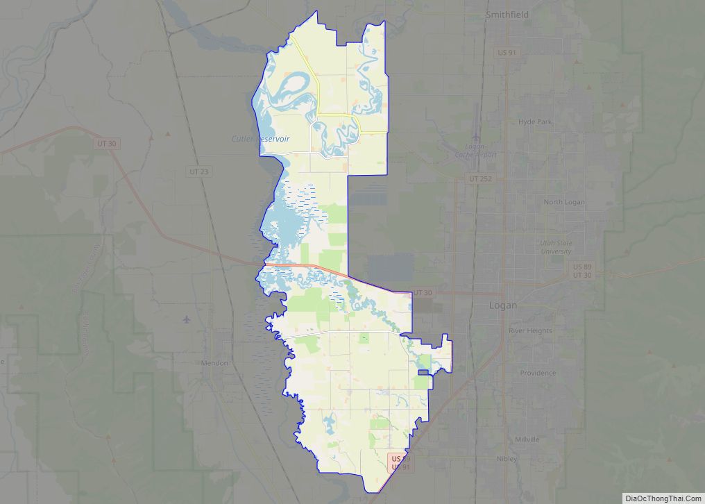
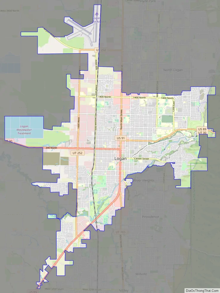
Logan Road Map
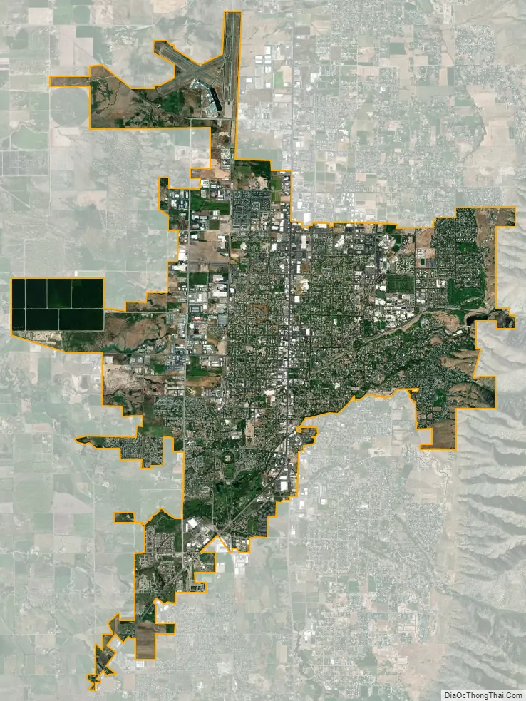
Logan city Satellite Map
Geography
Logan is in northern Utah, 47 miles (76 km) north of Ogden, on the Logan River. It is about 82 miles (132 km) north of Salt Lake City.
According to the United States Census Bureau, the city has a total area of 18.5 square miles (48.0 km), of which 18.0 square miles (46.5 km) is land and 0.58 square miles (1.5 km), or 3.16%, is water.
The city lies near the eastern edge of Cache Valley on the western slopes of the Bear River Mountains. Mount Logan rises to an elevation of 9,710 feet (2,960 m) immediately to the east, and south of Logan Canyon. The eastern portions of the city are constructed on top of shelf-like “benches”, late Pleistocene sedimentary deposits created by the glacially fed Logan River feeding into the northern stretches of Lake Bonneville, building a “Gilbert-type” river delta over several thousand years. The Logan River later cut down through these sedimentary deposits following the draining of Lake Bonneville approximately 14,500 years ago. This created a low-lying area with very steep slopes that reach into the rest of town and to the Logan River bottomlands. To the west of Logan lie flatlands that contain both farmland and marshes. To the north and south of Logan are rapidly growing residential suburbs.
Logan has a humid continental climate (Köppen: Dfa/Dfb) with very warm though usually dry summers and cold winters with moderate snowfall. Precipitation tends to be heaviest in the spring months. Like other areas in northern Utah, during mid-winter, high-pressure systems often situate themselves over Cache Valley, leading to strong temperature inversions. These temperature inversions trap cold air and pollutants and allow thick smog to accumulate in the valley about three percent of the time. This reduces the air quality to unhealthy levels and can result in the worst air pollution levels in the U.S.
See also
Map of Utah State and its subdivision: Map of other states:- Alabama
- Alaska
- Arizona
- Arkansas
- California
- Colorado
- Connecticut
- Delaware
- District of Columbia
- Florida
- Georgia
- Hawaii
- Idaho
- Illinois
- Indiana
- Iowa
- Kansas
- Kentucky
- Louisiana
- Maine
- Maryland
- Massachusetts
- Michigan
- Minnesota
- Mississippi
- Missouri
- Montana
- Nebraska
- Nevada
- New Hampshire
- New Jersey
- New Mexico
- New York
- North Carolina
- North Dakota
- Ohio
- Oklahoma
- Oregon
- Pennsylvania
- Rhode Island
- South Carolina
- South Dakota
- Tennessee
- Texas
- Utah
- Vermont
- Virginia
- Washington
- West Virginia
- Wisconsin
- Wyoming