Oxford is a city in Franklin County, Idaho, United States. The population was 48 at the 2010 census.
| Name: | Oxford city |
|---|---|
| LSAD Code: | 25 |
| LSAD Description: | city (suffix) |
| State: | Idaho |
| County: | Franklin County |
| Elevation: | 4,803 ft (1,464 m) |
| Total Area: | 0.26 sq mi (0.68 km²) |
| Land Area: | 0.26 sq mi (0.68 km²) |
| Water Area: | 0.00 sq mi (0.00 km²) |
| Total Population: | 48 |
| Population Density: | 199.23/sq mi (76.81/km²) |
| Area code: | 208 |
| FIPS code: | 1660040 |
| GNISfeature ID: | 0388063 |
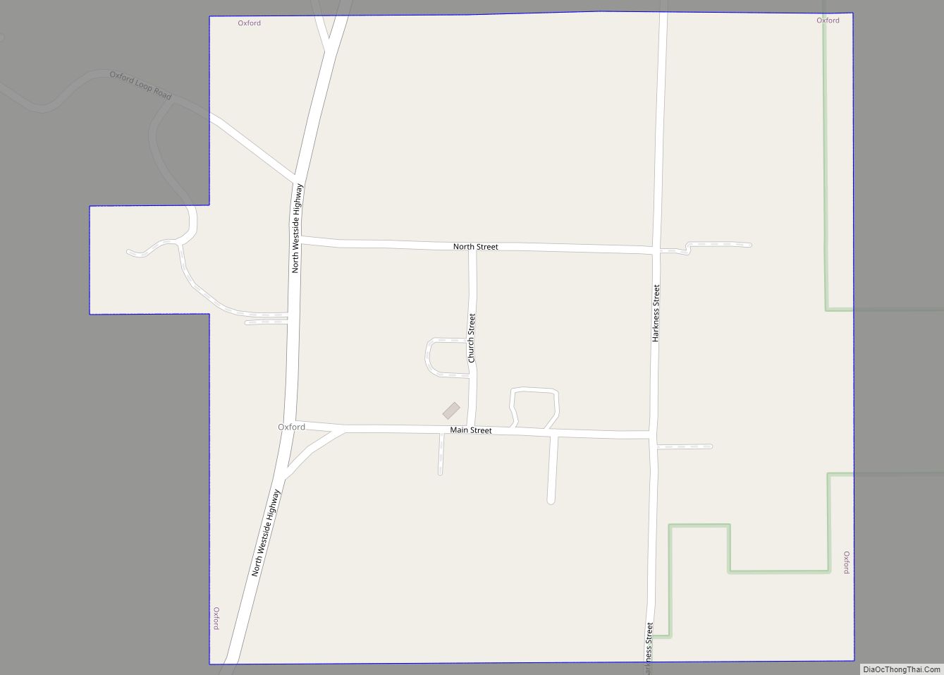
Online Interactive Map
Click on ![]() to view map in "full screen" mode.
to view map in "full screen" mode.
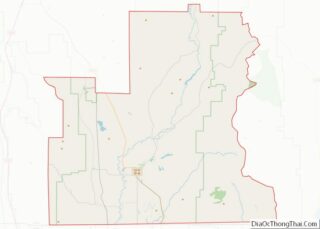
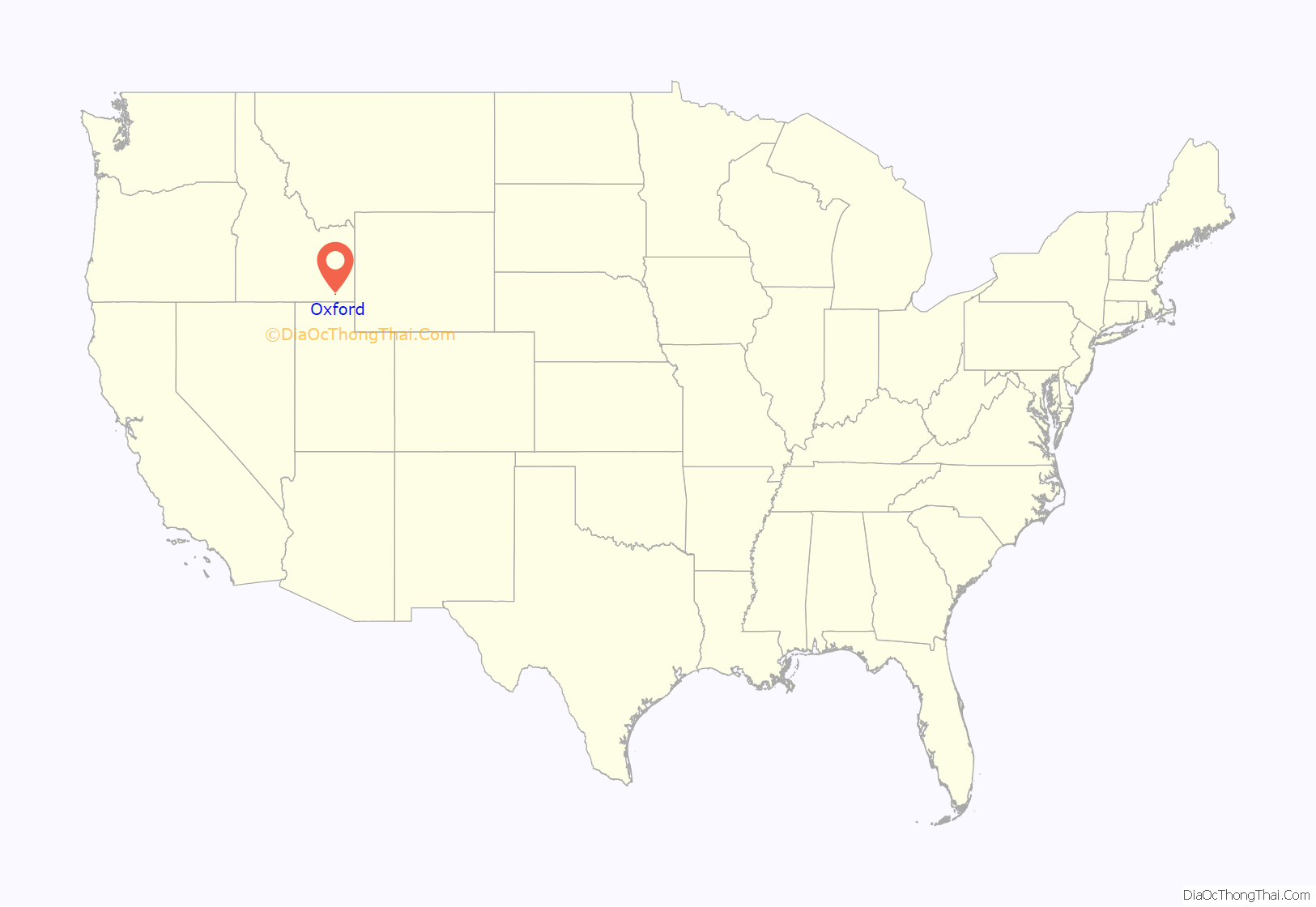
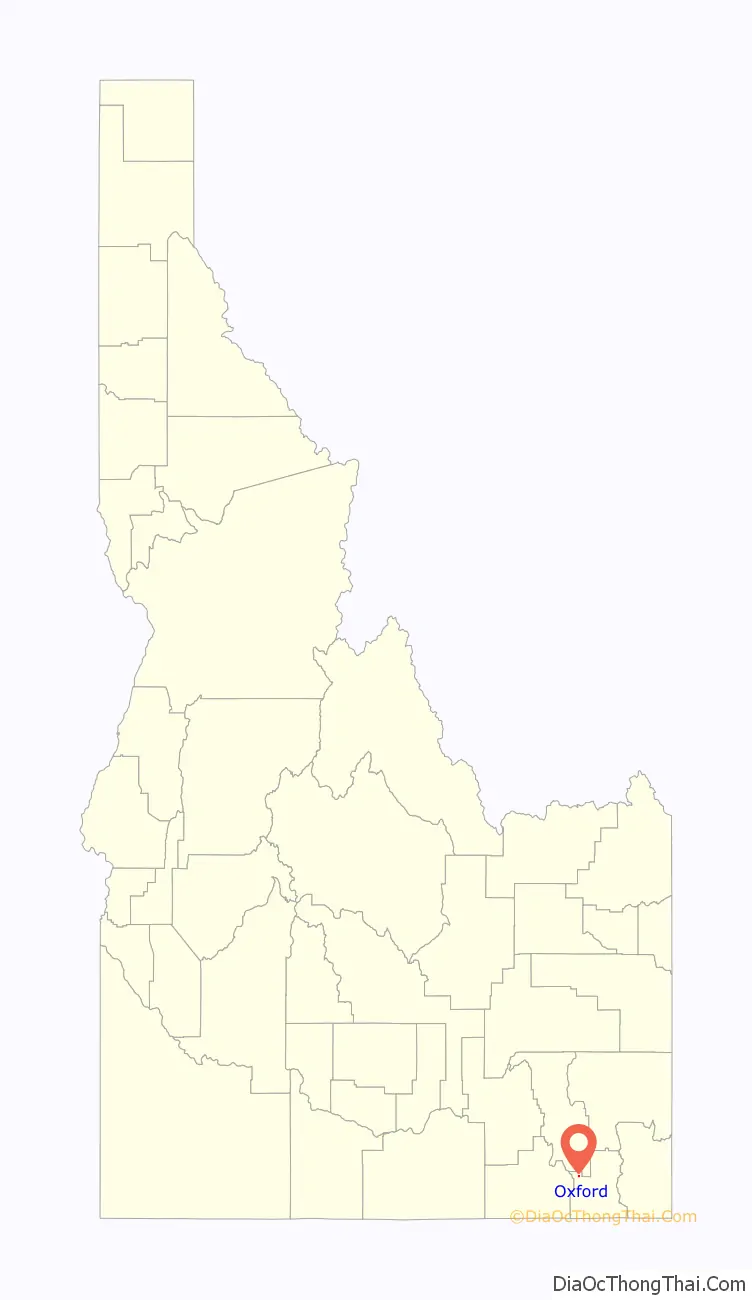
Oxford location map. Where is Oxford city?
History
Oxford was first settled by Members of the Church of Jesus Christ of Latter-day Saints in September 1864.
Oxford has several historical links. It is the location where Harold B. Lee, a future president of the Church of Jesus Christ of Latter-day Saints, taught school. It is also the location where Jefferson Hunt, a colonist who belonged to the Church of Jesus Christ of Latter-day Saints, died. Hunt is buried just behind the hill off the highway at Red Rock Pass.
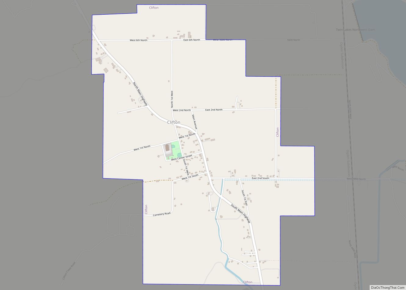
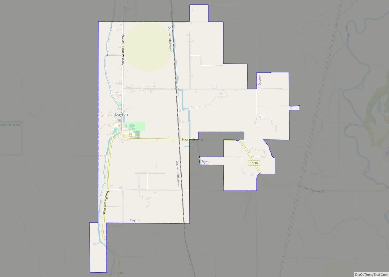
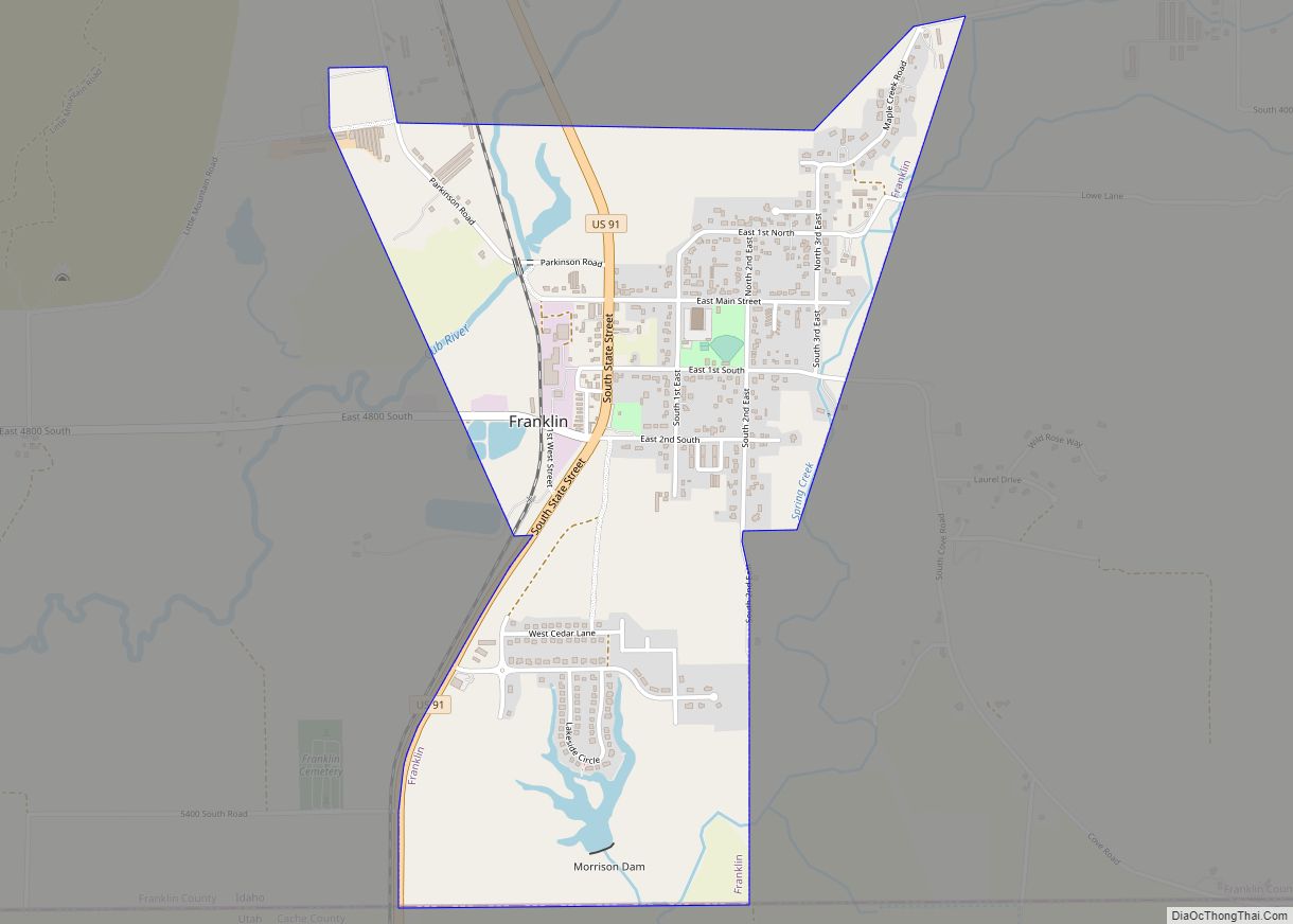
Oxford Road Map
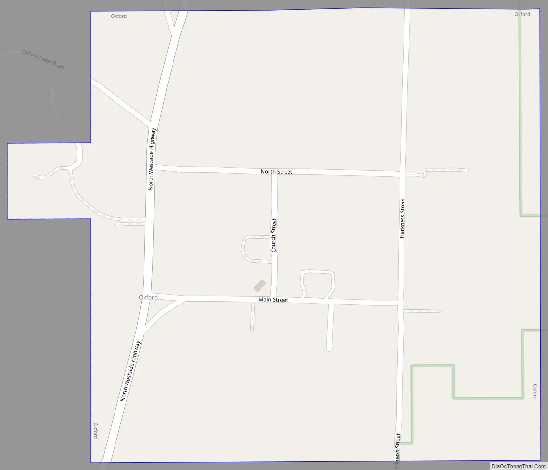
Oxford city Satellite Map

Geography
Oxford is located at 42°15′35″N 112°1′13″W / 42.25972°N 112.02028°W / 42.25972; -112.02028 (42.259830, -112.020187).
According to the United States Census Bureau, the city has a total area of 0.25 square miles (0.65 km), all of it land.
See also
Map of Idaho State and its subdivision:- Ada
- Adams
- Bannock
- Bear Lake
- Benewah
- Bingham
- Blaine
- Boise
- Bonner
- Bonneville
- Boundary
- Butte
- Camas
- Canyon
- Caribou
- Cassia
- Clark
- Clearwater
- Custer
- Elmore
- Franklin
- Fremont
- Gem
- Gooding
- Idaho
- Jefferson
- Jerome
- Kootenai
- Latah
- Lemhi
- Lewis
- Lincoln
- Madison
- Minidoka
- Nez Perce
- Oneida
- Owyhee
- Payette
- Power
- Shoshone
- Teton
- Twin Falls
- Valley
- Washington
- Alabama
- Alaska
- Arizona
- Arkansas
- California
- Colorado
- Connecticut
- Delaware
- District of Columbia
- Florida
- Georgia
- Hawaii
- Idaho
- Illinois
- Indiana
- Iowa
- Kansas
- Kentucky
- Louisiana
- Maine
- Maryland
- Massachusetts
- Michigan
- Minnesota
- Mississippi
- Missouri
- Montana
- Nebraska
- Nevada
- New Hampshire
- New Jersey
- New Mexico
- New York
- North Carolina
- North Dakota
- Ohio
- Oklahoma
- Oregon
- Pennsylvania
- Rhode Island
- South Carolina
- South Dakota
- Tennessee
- Texas
- Utah
- Vermont
- Virginia
- Washington
- West Virginia
- Wisconsin
- Wyoming