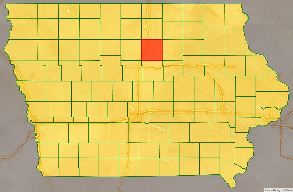
Franklin County is a county located in the U.S. state of Iowa. As of the 2020 census, the population was 10,019. The county seat is Hampton. The county was formed on January 15, 1851 and named after Benjamin Franklin.
| Name: | Franklin County |
|---|---|
| FIPS code: | 19-069 |
| State: | Iowa |
| Founded: | 1851 |
| Named for: | Benjamin Franklin |
| Seat: | Hampton |
| Largest city: | Hampton |
| Total Area: | 583 sq mi (1,510 km²) |
| Land Area: | 582 sq mi (1,510 km²) |
| Total Population: | 10,019 |
| Population Density: | 17/sq mi (6.6/km²) |
| Time zone: | UTC−6 (Central) |
| Summer Time Zone (DST): | UTC−5 (CDT) |
| Website: | www.franklincountyia.gov |
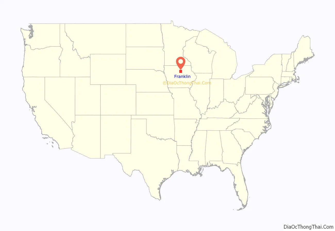
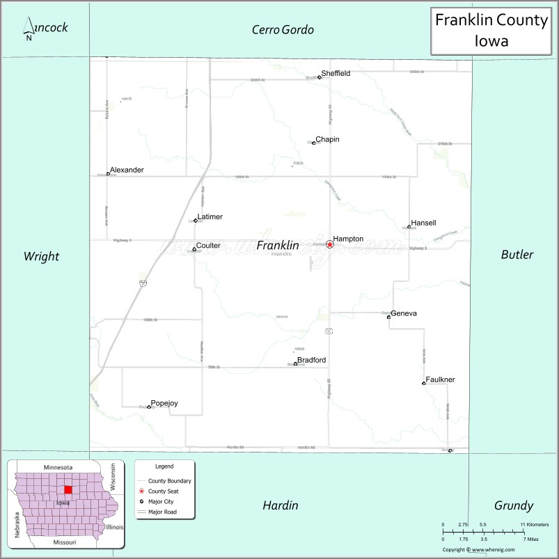
Franklin County location map. Where is Franklin County?
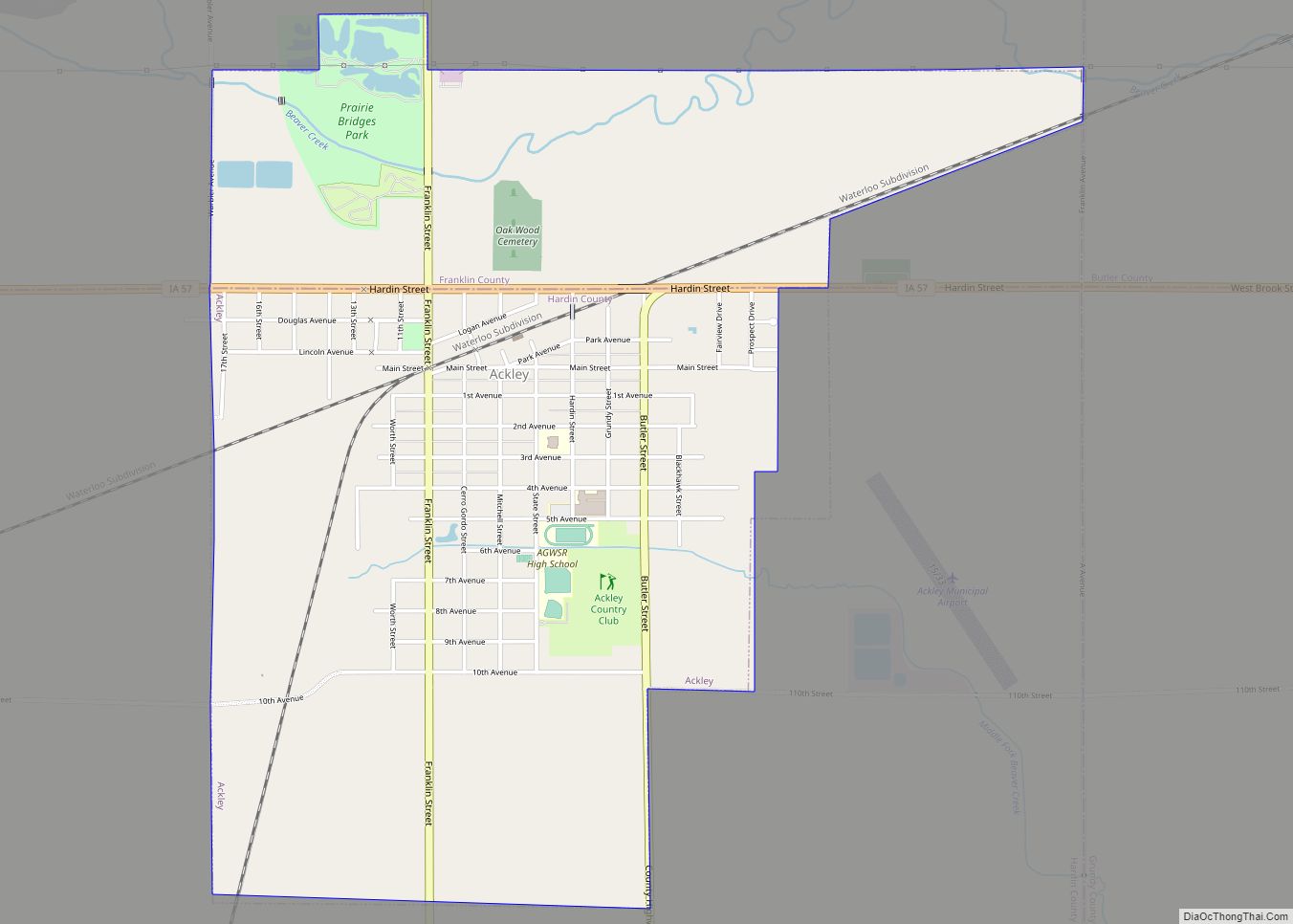
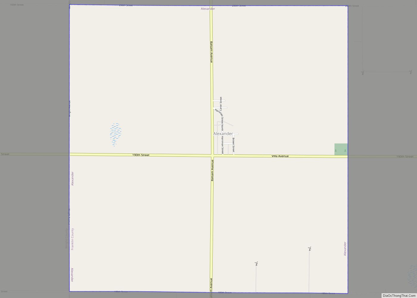
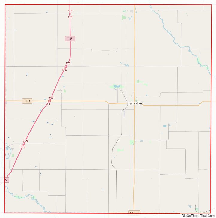
Franklin County Road Map
Geography
According to the U.S. Census Bureau, the county has a total area of 583 square miles (1,510 km), of which 582 square miles (1,510 km) is land and 0.6 square miles (1.6 km) (0.09%) is water.
Major highways
- Interstate 35
- U.S. Highway 65
- Iowa Highway 3
- Iowa Highway 57
Transit
- List of intercity bus stops in Iowa
Adjacent counties
- Cerro Gordo County (north)
- Butler County (east)
- Hardin County (south)
- Wright County (west)
- Grundy County (southeast)
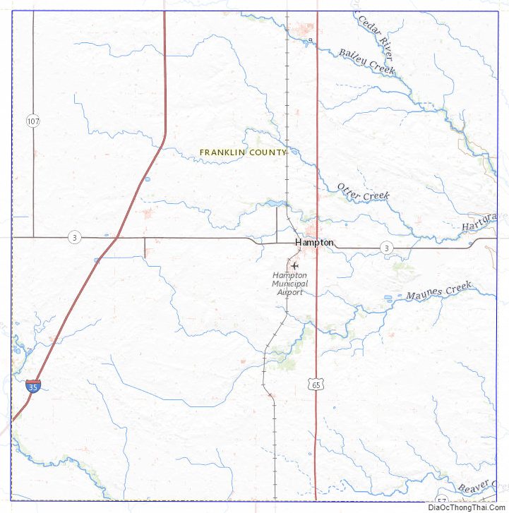
Franklin County Topographic Map
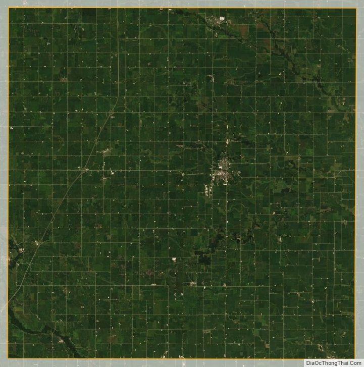
Franklin County Satellite Map
Franklin County Outline Map