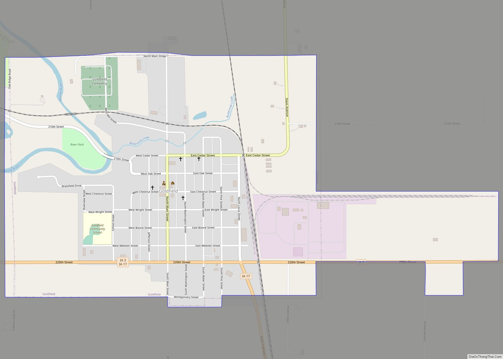
Wright County is a county in the U.S. state of Iowa. As of the 2020 census, the population was 12,943. The county seat is Clarion. The county organization became effective in January 1851, and is believed to be named either after Silas Wright, a governor of New York, or Joseph Albert Wright, a governor of Indiana.
| Name: | Wright County |
|---|---|
| FIPS code: | 19-197 |
| State: | Iowa |
| Founded: | January 15, 1851 |
| Named for: | Silas Wright |
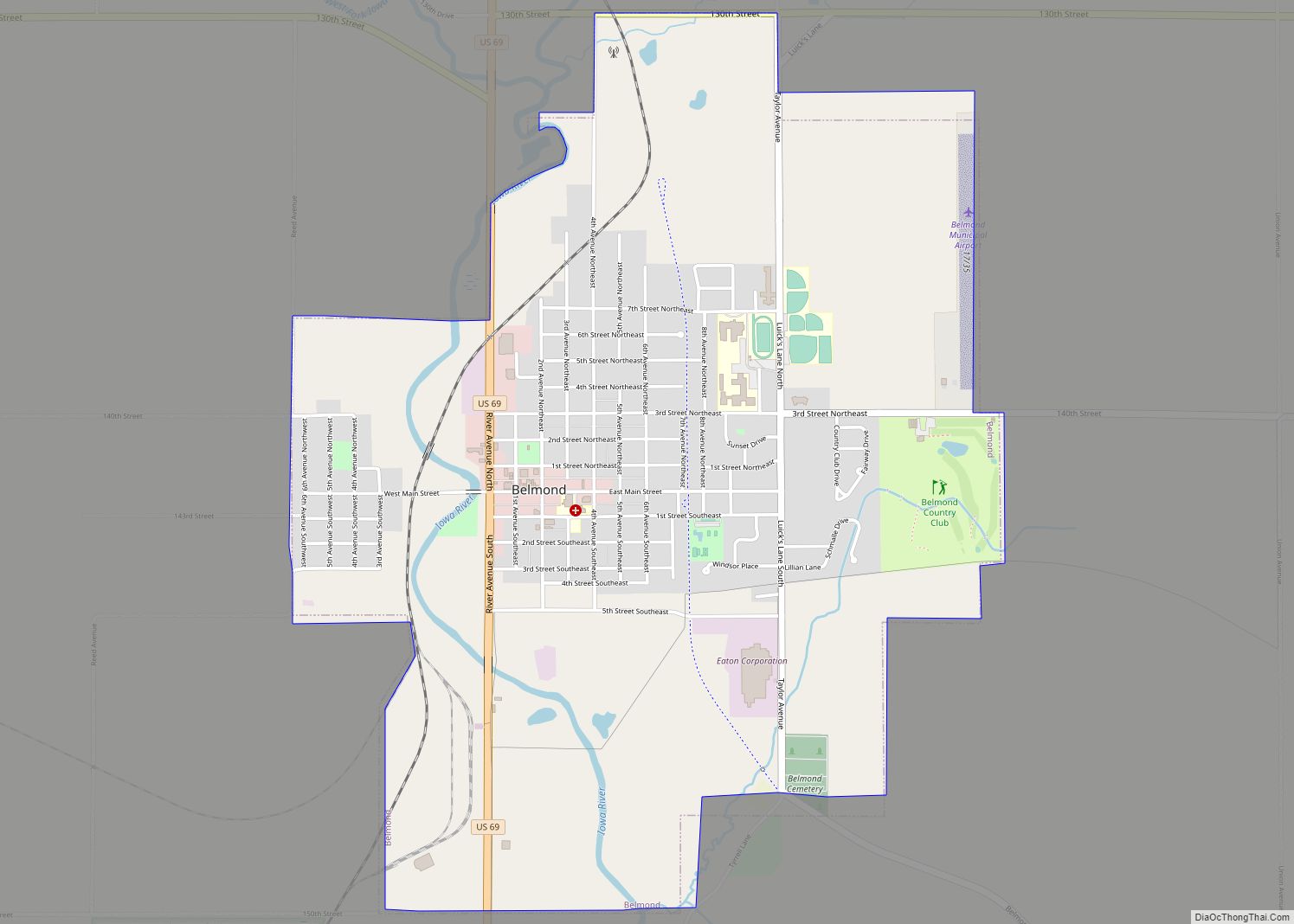
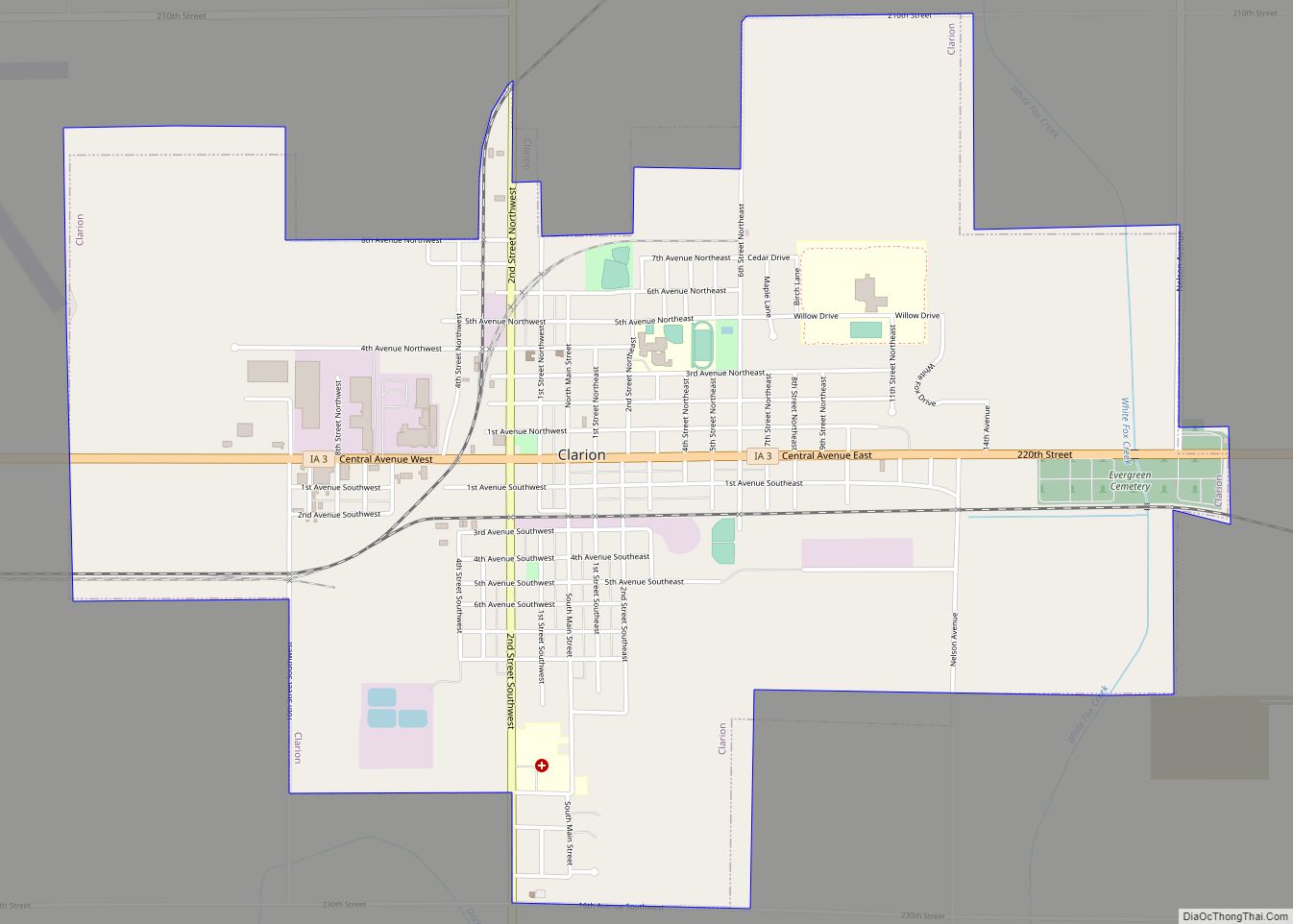
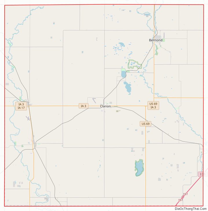
| Seat: | Clarion |
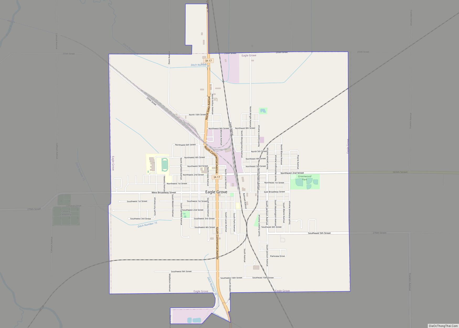
| Largest city: | Eagle Grove |
| Total Area: | 582 sq mi (1,510 km²) |
| Land Area: | 580 sq mi (1,500 km²) |
| Total Population: | 12,943 |
| Population Density: | 22/sq mi (8.6/km²) |
| Time zone: | UTC−6 (Central) |
| Summer Time Zone (DST): | UTC−5 (CDT) |
| Website: | wrightcounty.iowa.gov |
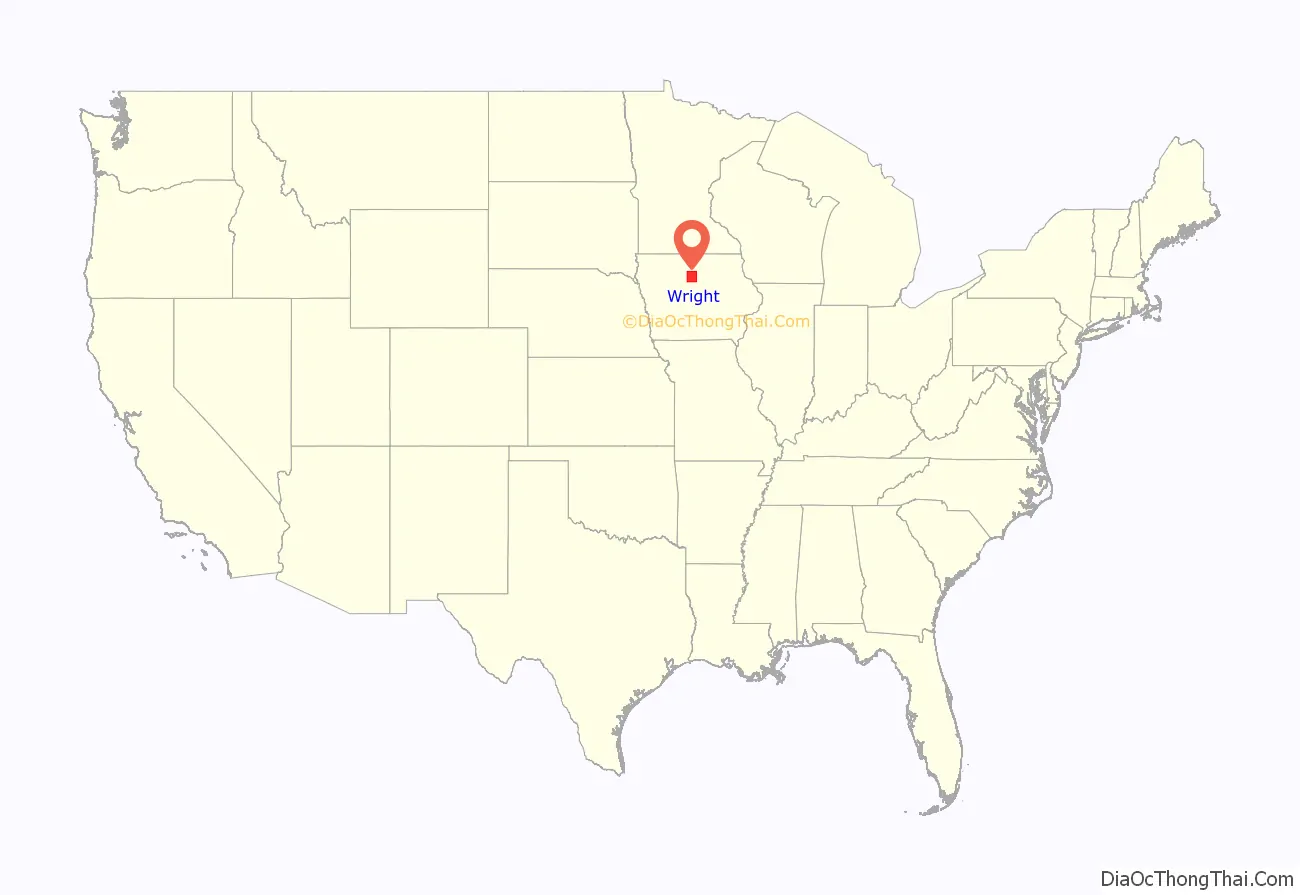
Wright County location map. Where is Wright County?
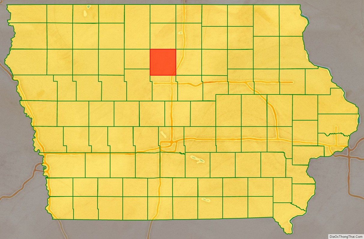
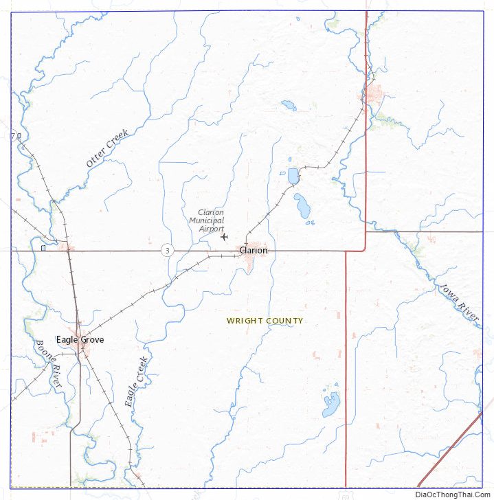
Wright County Road Map
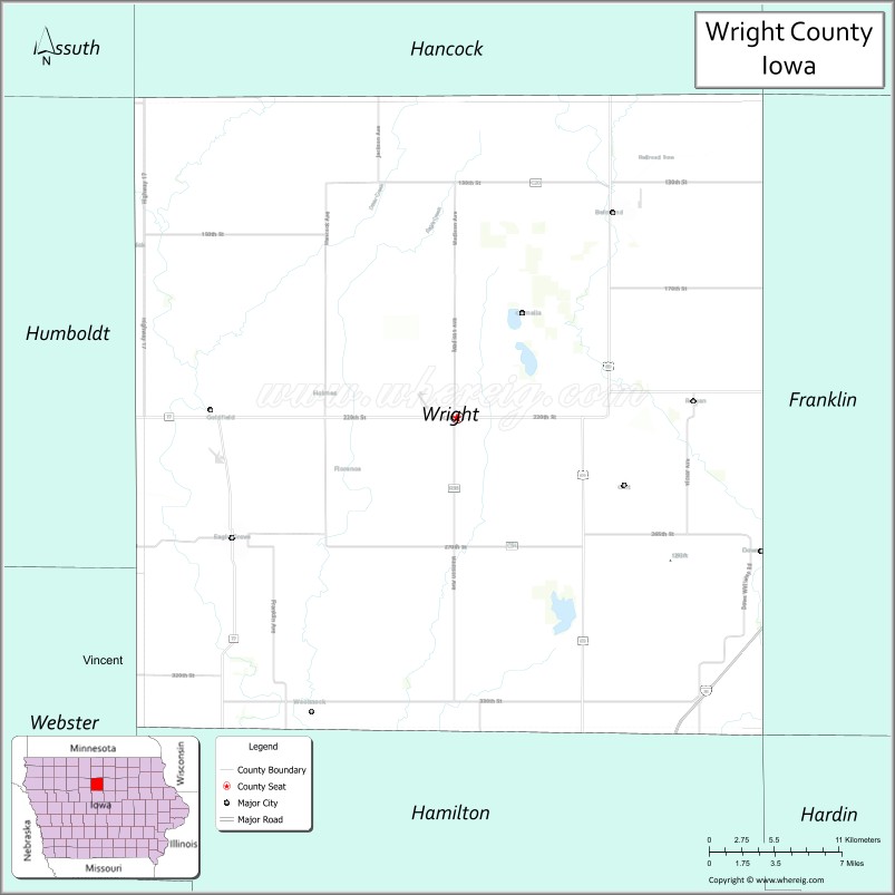
Geography
According to the U.S. Census Bureau, the county has an area of 582 square miles (1,510 km), of which 580 square miles (1,500 km) is land and 1.8 square miles (4.7 km) (0.3%) is covered by water. The terrain is generally undulating. The county is intersected by the Boone and Iowa Rivers
Major highways
- Interstate 35
- U.S. Highway 69
- Iowa Highway 3
- Iowa Highway 17
Adjacent counties
- Hancock County – north
- Cerro Gordo County – northeast
- Franklin County – east
- Hardin County – southeast
- Hamilton County – south
- Webster County – southwest
- Humboldt County – west
- Kossuth County – northwest
Wright County Topographic Map
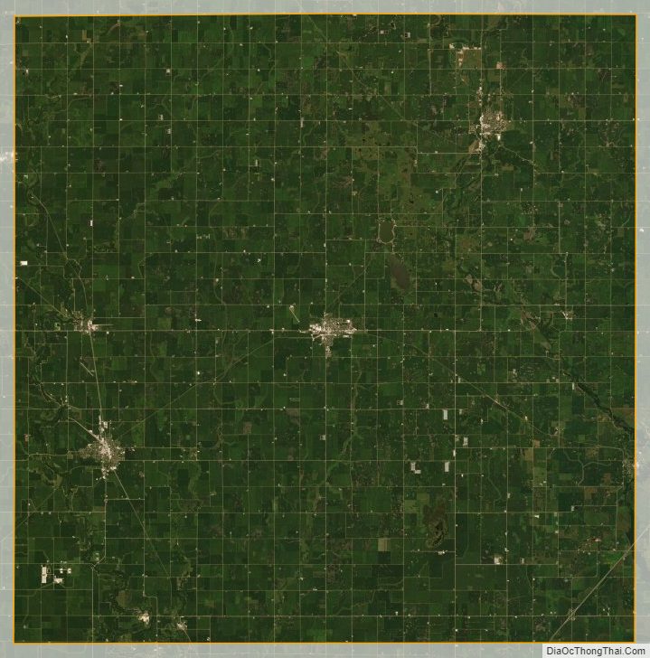
Wright County Satellite Map
Wright County Outline Map