| Name: | Gilchrist County |
|---|---|
| FIPS code: | 12-041 |
| State: | Florida |
| Founded: | December 4, 1925 |
| Named for: | Albert W. Gilchrist |
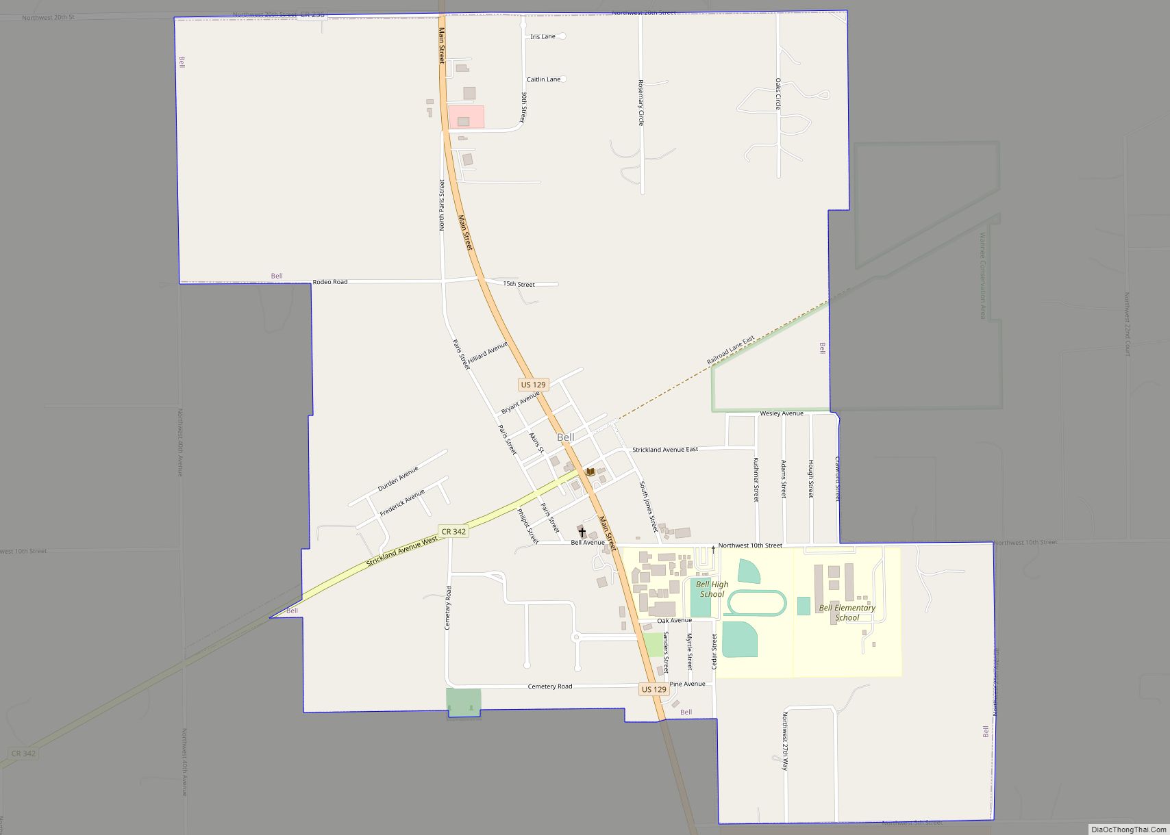
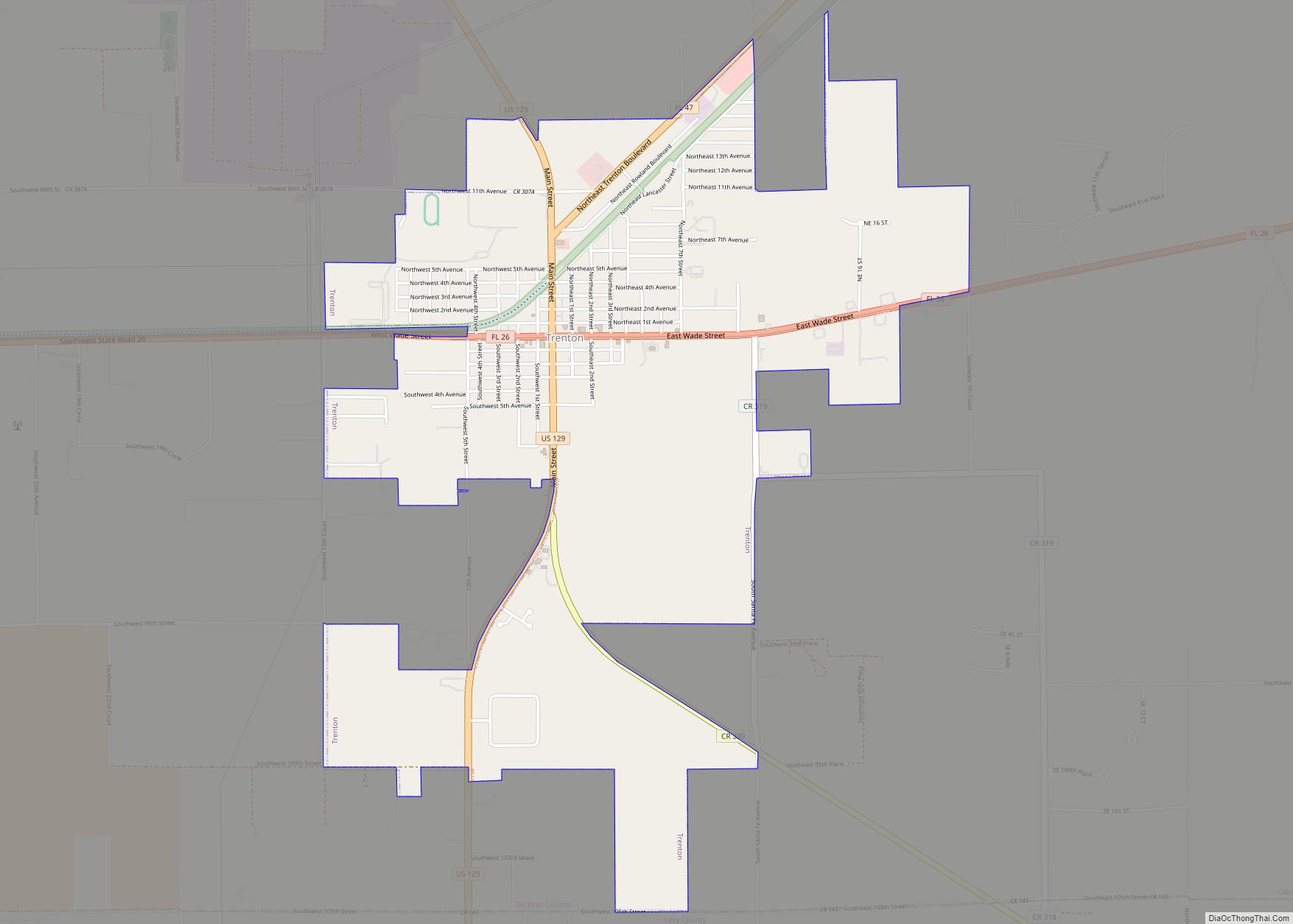
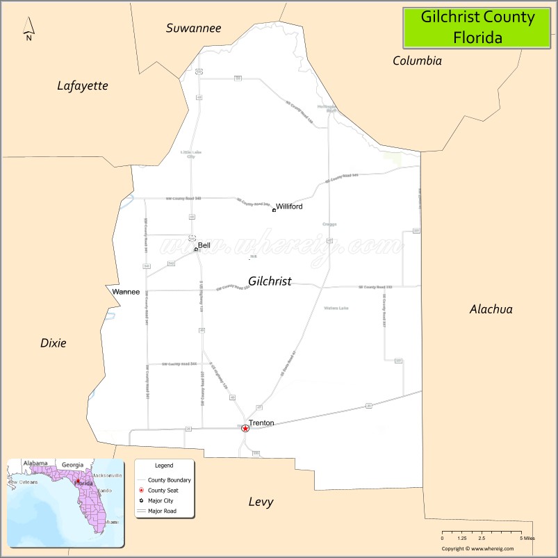
| Seat: | Trenton |
| Largest city: | Trenton |
| Total Area: | 355 sq mi (920 km²) |
| Land Area: | 350 sq mi (900 km²) |
| Total Population: | 18,360 |
| Population Density: | 48/sq mi (19/km²) |
| Time zone: | UTC−5 (Eastern) |
| Summer Time Zone (DST): | UTC−4 (EDT) |
| Website: | gilchrist.fl.us |
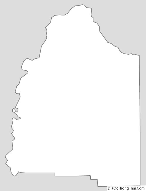
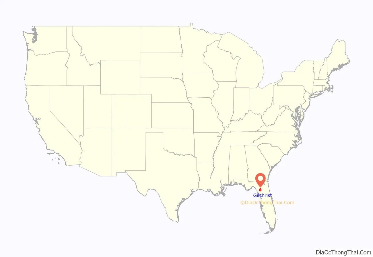
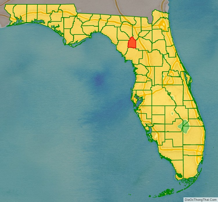
Gilchrist County location map. Where is Gilchrist County?
History
Gilchrist County was created in 1925, the last county organized in Florida. It was named for Albert W. Gilchrist, Governor of Florida from 1909 to 1913. It was formed by residents of what was then western Alachua County, as they believed they were not getting adequate representation on the county commission. With the poor roads of the time, they felt it took too long to get to the county seat of Gainesville. They disagreed about a proposed law that would require fencing in cattle in the rural area. They also believed that they would be better off by getting their own share of racetrack revenues, which the state distributed by county.
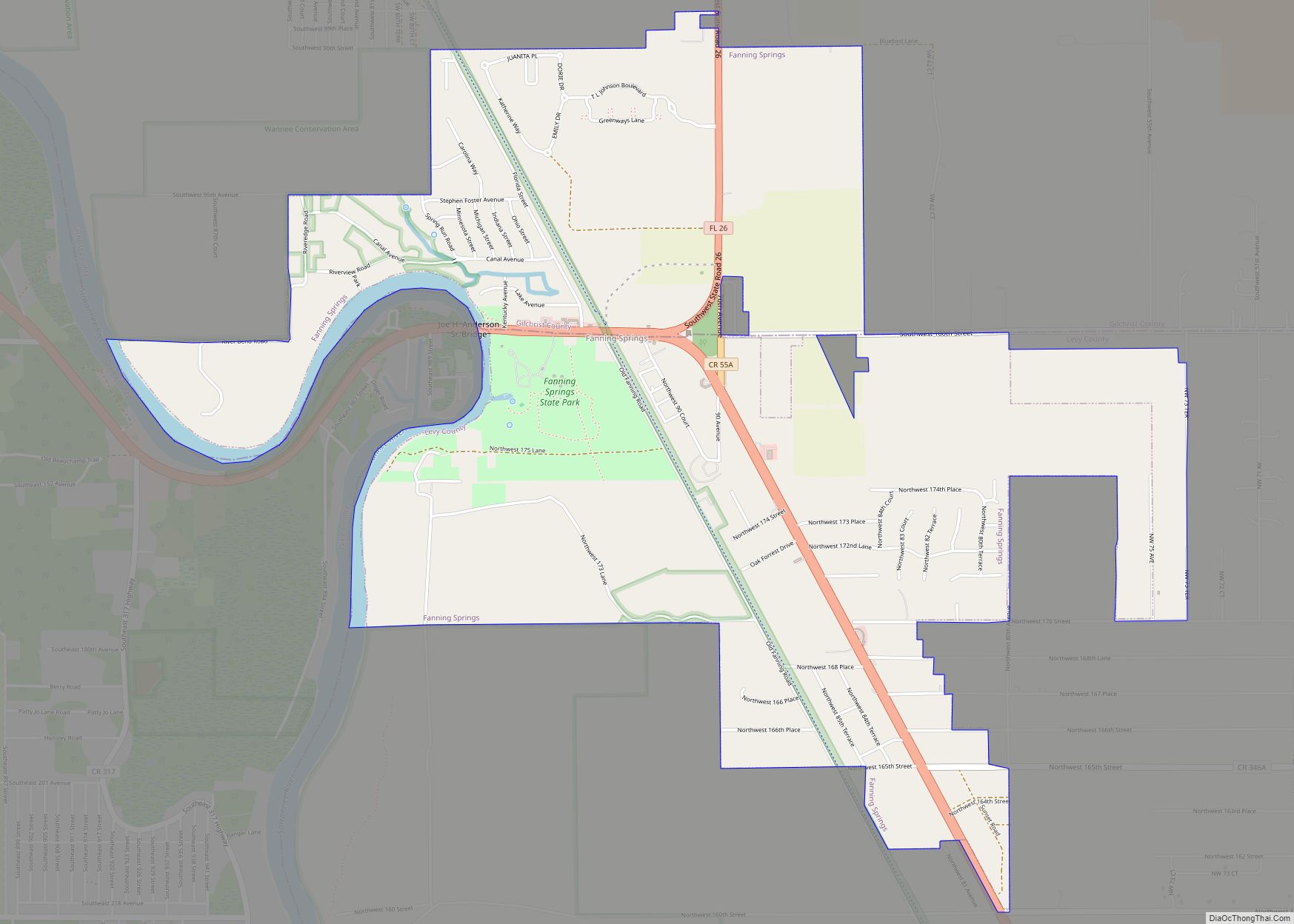
Much of the county was farmland and timberland when formed, and it is largely rural. Several natural springs are adjacent to the Santa Fe River, including Ginnie Springs, Hart Springs, and Gilchrist Blue Springs, the last of which became a Florida state park in 2017.
Historic buildings
Historic buildings in Gilchrist County include:
- First Baptist Church, on East Wade Street
- Gilchrist County Courthouse
- Trenton Depot
- Jennings Lake Seventh-Day Adventist Church
- The old Trenton Church of Christ on South Main Street.
- Gilchrist County Jail, built in 1926, operated from 1928 to 1968.
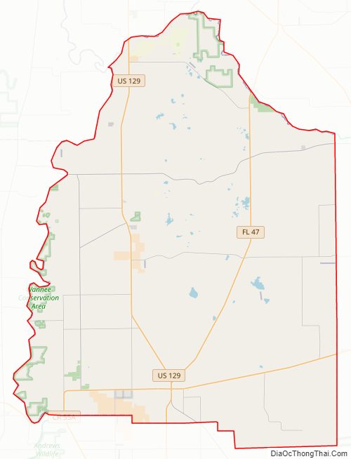
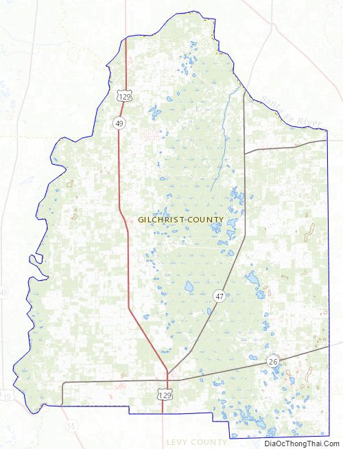
Gilchrist County Road Map
Geography
According to the U.S. Census Bureau, the county has a total area of 355 square miles (920 km), of which 350 square miles (910 km) is land and 5.6 square miles (15 km) (1.6%) is water. It is the fifth-smallest county in Florida by land area and fourth-smallest by total area.
Adjacent counties
- Columbia County, Florida – northeast
- Alachua County, Florida – east
- Levy County, Florida – south
- Dixie County, Florida – southwest
- Suwannee County, Florida – northwest
- Lafayette County, Florida – northwest
Gilchrist County Topographic Map
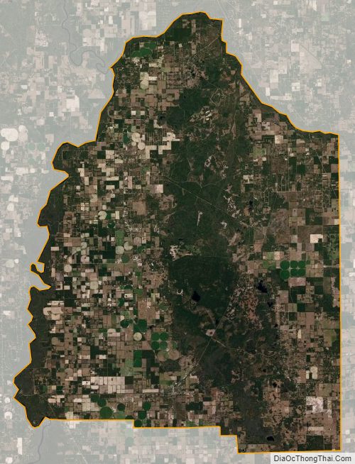
Gilchrist County Satellite Map
Gilchrist County Outline Map