Trenton is a city in Gilchrist County, Florida, United States. The population was 1,999 as of the 2010 census, and in 2018 it was estimated to be 2,125. It is the county seat of Gilchrist County.
| Name: | Trenton city |
|---|---|
| LSAD Code: | 25 |
| LSAD Description: | city (suffix) |
| State: | Florida |
| County: | Gilchrist County |
| Elevation: | 52 ft (16 m) |
| Total Area: | 3.39 sq mi (8.79 km²) |
| Land Area: | 3.39 sq mi (8.79 km²) |
| Water Area: | 0.00 sq mi (0.00 km²) |
| Total Population: | 2,015 |
| Population Density: | 593.87/sq mi (229.32/km²) |
| ZIP code: | 32693 |
| Area code: | 352 |
| FIPS code: | 1272350 |
| GNISfeature ID: | 0292420 |
| Website: | www.trentonflorida.org |
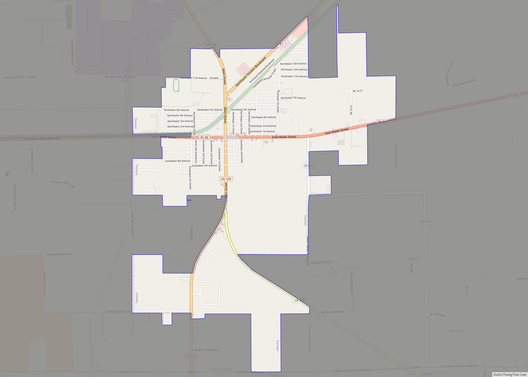
Online Interactive Map
Click on ![]() to view map in "full screen" mode.
to view map in "full screen" mode.
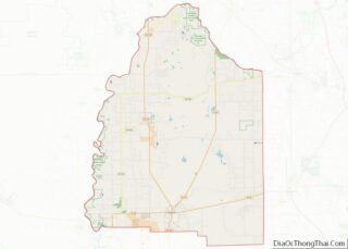
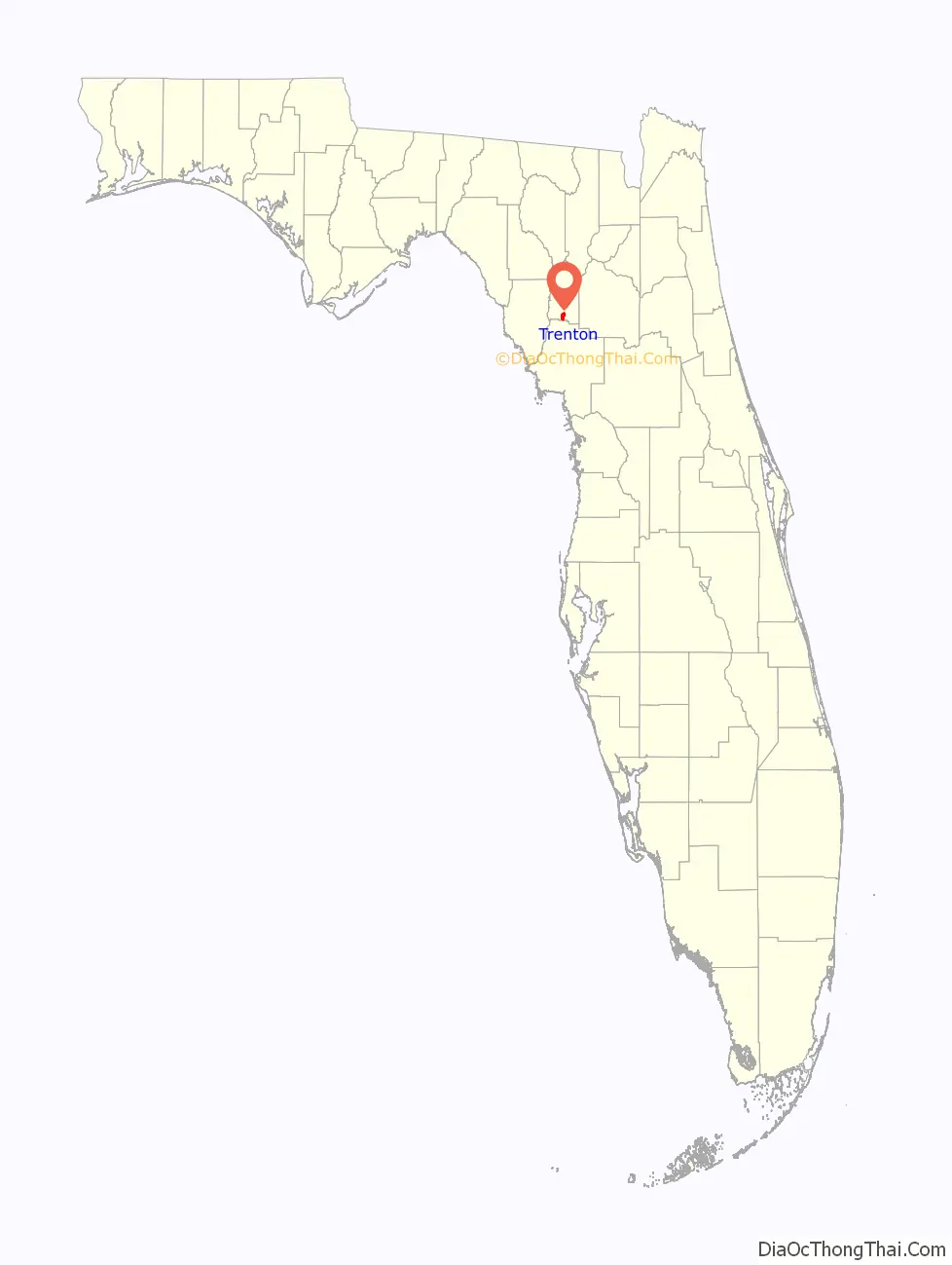
Trenton location map. Where is Trenton city?

History
Prehistory
The first Paleo-Indians reached the central Florida area near the end of the last ice age, as they followed big game south. As the ice melted and sea levels rose, these Native Americans ended up staying and thrived on the peninsula for thousands of years. By the time the first Spanish conquistadors arrived, there were over 250,000 Native Americans living on the peninsula. The Timucua were a historic tribe across the north central area of Florida, where Trenton later developed.
Within 150 years, the majority of the pre-Columbian Native American peoples of Florida died of new infectious diseases or warfare, with their societies disrupted. Some were enslaved by the Spaniards, and died because of harsh treatment. Little is left of these first Native American cultures in Trenton except for scant archeological records, including a few personal artifacts. By the early 19th century, the remnants of these tribes merged with the Bell Indians, Muscogee (also known as Creek) who migrated from Georgia and Alabama. They created a new culture through ethnogenesis and became known as the Seminole people. Most of the Seminole were removed from central Florida by the United States after wars from the 1830s to 1842, while some resisted by moving south into the Everglades and survived.
Post-Reconstruction to present
Western Alachua County was developed largely for farms and timber, which sometimes attracted itinerant workers. Trenton developed as a trading and market town for this area, with some professionals who worked here in the early 20th century.
On July 21, 1915, Dr. H.M. Owens was lynched by a mob in Trenton after being told to leave town. He was at the house of Mrs. McGuire, which the mob set on fire after the doctor exchanged fire with the crowd. The doctor was shot to death as he fled the burning house. Dr. Owens’s local Masonic Lodge was disbanded in the ensuing scandal and only reopened in the 1950s.
At the time, the city of Trenton was still located in Alachua County, which had the sixth highest number of lynchings of counties in Florida.
2018 Shooting
On Thursday, April 19, 2018, two Gilchrist County Sheriff’s deputies were attacked and slain by a lone gunman while on duty, eating lunch at a local restaurant. The two deputies were identified by Sheriff Bobby Schultz as Sgt. Noel Ramirez and Deputy Taylor Lindsey. The killer, identified as Gilchrist County resident John Hubert Highnote, was found outside the restaurant in his vehicle, where he had committed suicide. The investigation into any possible motive was inconclusive.
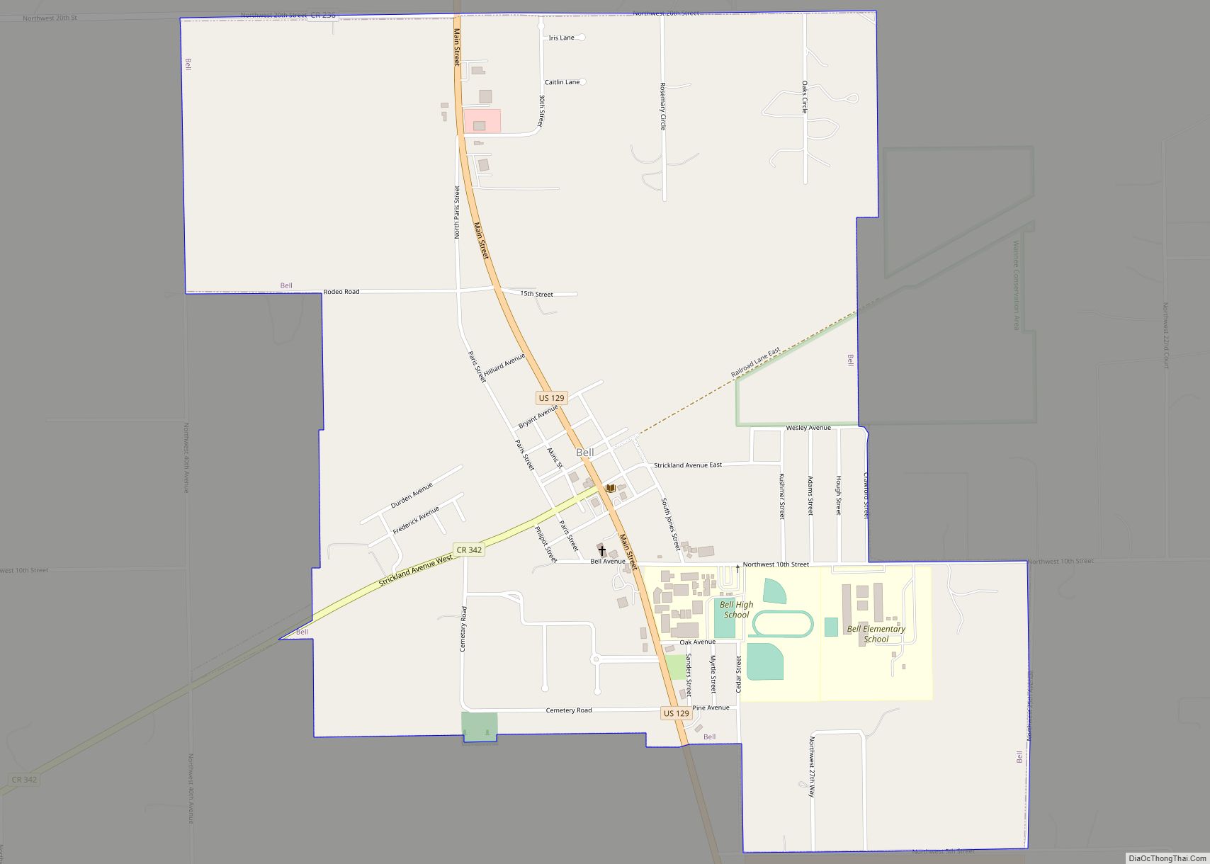
Trenton Road Map

Trenton city Satellite Map

Geography
Trenton is located near the southern border of Gilchrist County at 29°36′54″N 82°49′4″W / 29.61500°N 82.81778°W / 29.61500; -82.81778 (29.615081, –82.817732). U.S. Route 129 is the city’s Main Street; it leads north 28 miles (45 km) to Branford and south 11 miles (18 km) to Chiefland. Florida State Road 26 (Wade Street) leads east 13 miles (21 km) to Newberry and 30 miles (48 km) to Gainesville, while to the west it leads 8 miles (13 km) to Fanning Springs. Florida State Road 47 (Trenton Boulevard) intersects US 129 in the northern part of Trenton and leads northeast 42 miles (68 km) to Lake City.
According to the United States Census Bureau, the city of Trenton has a total area of 3.4 square miles (8.8 km), all land.
Trenton is in a rural area and is the hometown of country music singer Easton Corbin. The Florida Department of Corrections’ nearby Lancaster Correctional Institution is 3 miles (5 km) from Trenton.
See also
Map of Florida State and its subdivision:- Alachua
- Baker
- Bay
- Bradford
- Brevard
- Broward
- Calhoun
- Charlotte
- Citrus
- Clay
- Collier
- Columbia
- Desoto
- Dixie
- Duval
- Escambia
- Flagler
- Franklin
- Gadsden
- Gilchrist
- Glades
- Gulf
- Hamilton
- Hardee
- Hendry
- Hernando
- Highlands
- Hillsborough
- Holmes
- Indian River
- Jackson
- Jefferson
- Lafayette
- Lake
- Lee
- Leon
- Levy
- Liberty
- Madison
- Manatee
- Marion
- Martin
- Miami-Dade
- Monroe
- Nassau
- Okaloosa
- Okeechobee
- Orange
- Osceola
- Palm Beach
- Pasco
- Pinellas
- Polk
- Putnam
- Saint Johns
- Saint Lucie
- Santa Rosa
- Sarasota
- Seminole
- Sumter
- Suwannee
- Taylor
- Union
- Volusia
- Wakulla
- Walton
- Washington
- Alabama
- Alaska
- Arizona
- Arkansas
- California
- Colorado
- Connecticut
- Delaware
- District of Columbia
- Florida
- Georgia
- Hawaii
- Idaho
- Illinois
- Indiana
- Iowa
- Kansas
- Kentucky
- Louisiana
- Maine
- Maryland
- Massachusetts
- Michigan
- Minnesota
- Mississippi
- Missouri
- Montana
- Nebraska
- Nevada
- New Hampshire
- New Jersey
- New Mexico
- New York
- North Carolina
- North Dakota
- Ohio
- Oklahoma
- Oregon
- Pennsylvania
- Rhode Island
- South Carolina
- South Dakota
- Tennessee
- Texas
- Utah
- Vermont
- Virginia
- Washington
- West Virginia
- Wisconsin
- Wyoming