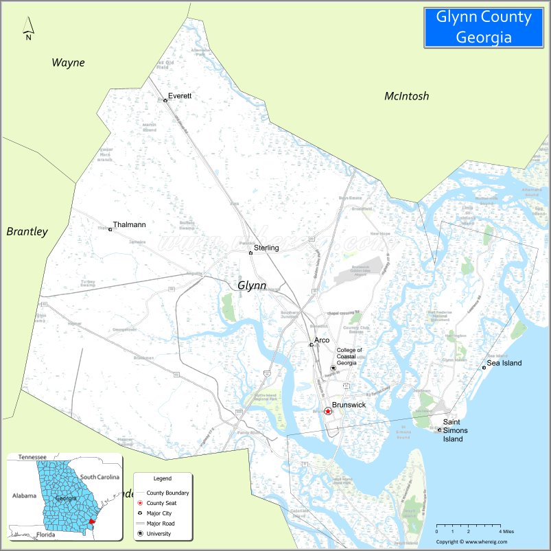
Glynn County is located in the southeastern part of the U.S. state of Georgia. As of the 2020 census, the population was 84,499. The county seat is Brunswick. Glynn County is part of the Brunswick, Georgia Metropolitan Statistical Area.
| Name: | Glynn County |
|---|---|
| FIPS code: | 13-127 |
| State: | Georgia |
| Founded: | 1777 |
| Named for: | John Glynn |
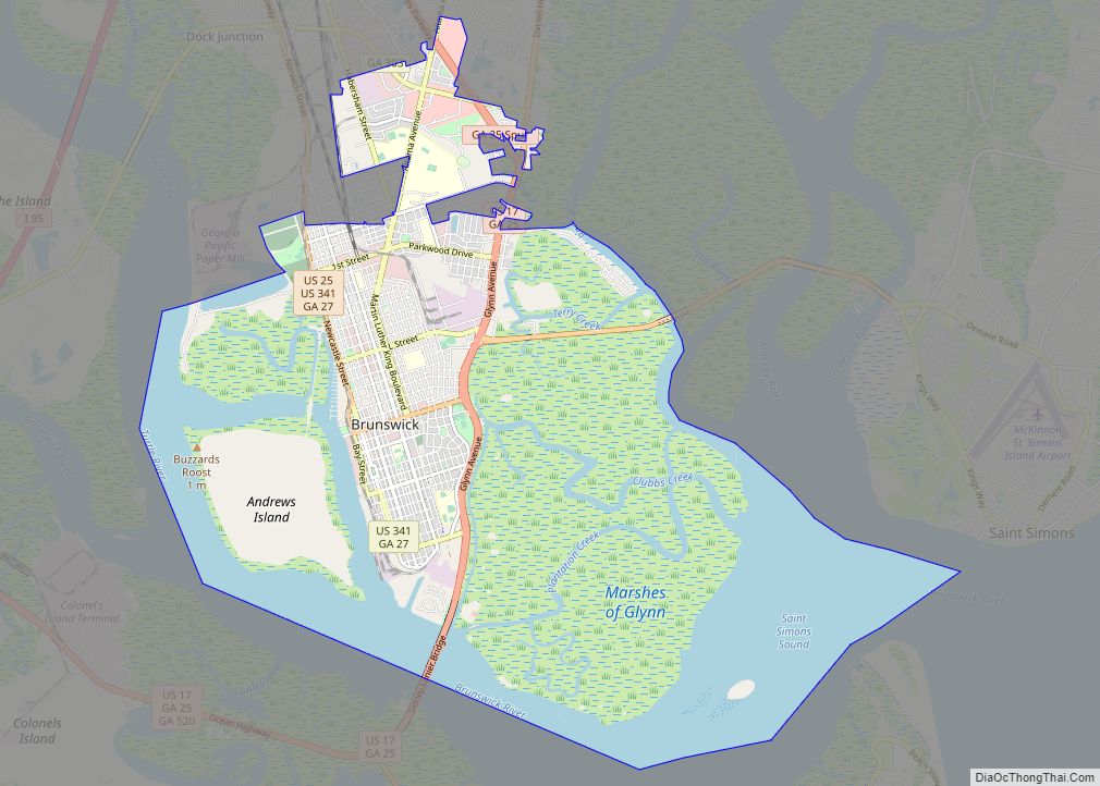
| Seat: | Brunswick |
| Largest city: | Brunswick |
| Total Area: | 585 sq mi (1,520 km²) |
| Land Area: | 420 sq mi (1,100 km²) |
| Total Population: | 84,499 |
| Population Density: | 201/sq mi (78/km²) |
| Time zone: | UTC−5 (Eastern) |
| Summer Time Zone (DST): | UTC−4 (EDT) |
| Website: | www.glynncounty.org |
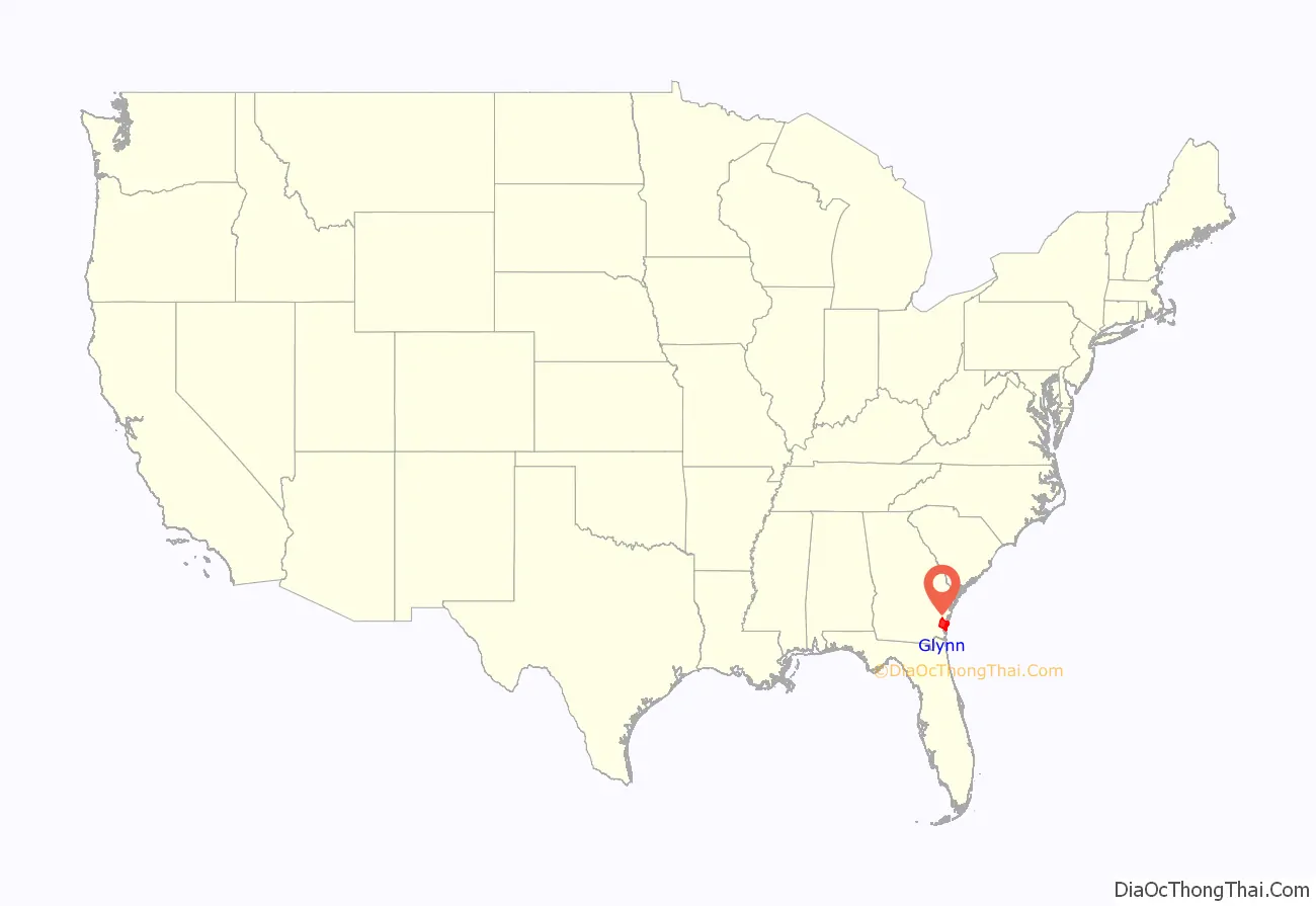
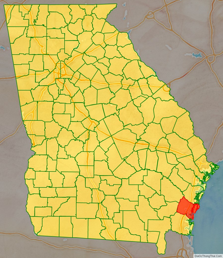
Glynn County location map. Where is Glynn County?
History
Glynn County, one of the state’s original eight counties created on February 5, 1777, was named after John Glynn, a member of the British House of Commons who defended the cause of the American Colonies before the American Revolution. The Battle of Bloody Marsh was fought in Glynn County. James Oglethorpe built Fort Frederica, which was used a base in the American Revolutionary War. Glynn Academy, established to educate boys, is the second oldest school in Georgia.
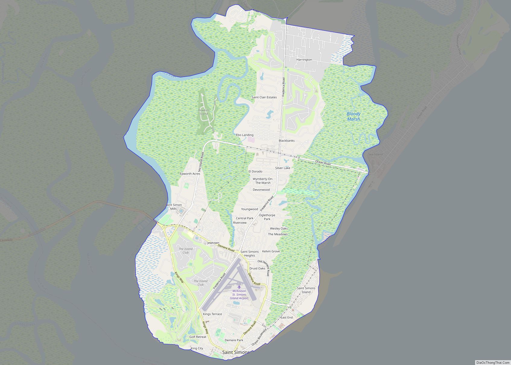
Glynn County includes the most prominent of the Sea Islands of Georgia, including Jekyll Island, St. Simons Island, and Sea Island. The Georgia poet Sidney Lanier immortalized the seacoast there in his poem, “The Marshes of Glynn”, which begins:
During World War II, Naval Air Station Glynco, named for the county, was a major base for training for blimps and anti-submarine warfare. The Federal Law Enforcement Training Center (FLETC) now uses a substantial part of the former NAS as its main campus.
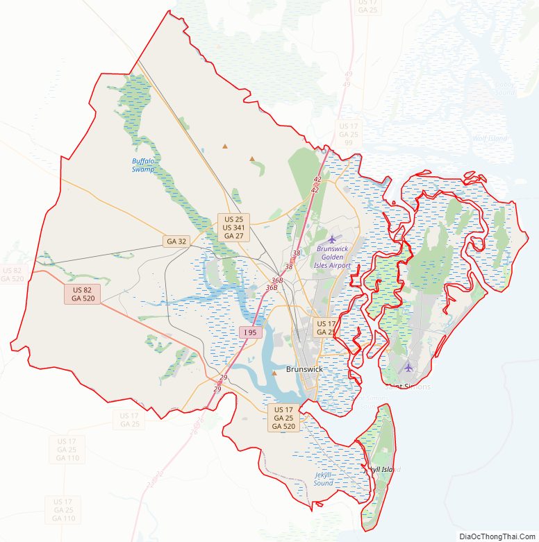
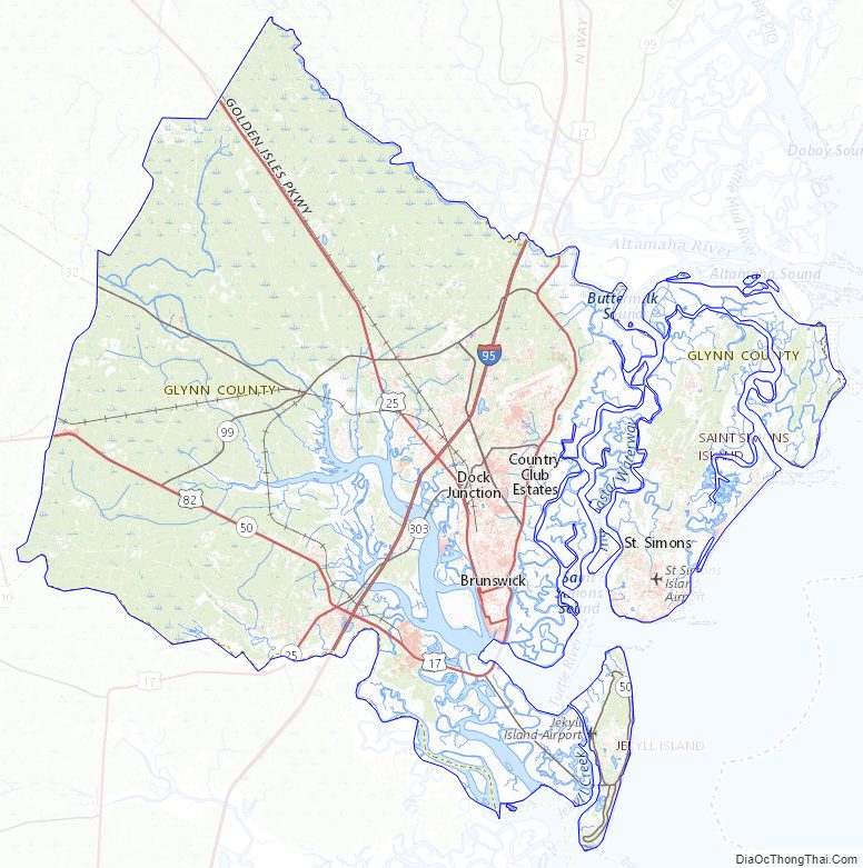
Glynn County Road Map
Geography
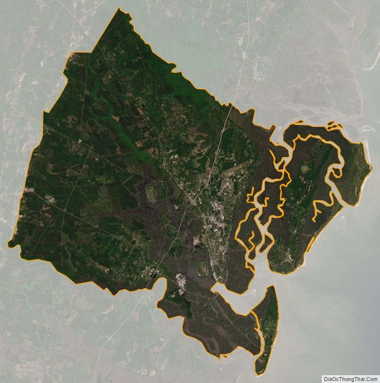
According to the U.S. Census Bureau, the county has a total area of 585 square miles (1,520 km), of which 420 square miles (1,100 km) is land and 165 square miles (430 km) (28.3%) is water.
The majority of Glynn County is located in the Cumberland-St. Simons sub-basin of the St. Marys-Satilla River basin. Most of the county’s northern and northwestern border area is located in the Altamaha River sub-basin of the basin by the same name.
Major highways
- Interstate 95
- U.S. Route 17
- U.S. Route 25
- U.S. Route 82
- U.S. Route 341
- State Route 25
- State Route 25 Connector
- State Route 25 Spur
- State Route 27
- State Route 32
- State Route 99
- State Route 303
- State Route 405 (unsigned designation for I-95)
- State Route 520
Adjacent counties
- McIntosh County – north
- Camden County – southwest
- Brantley County – west
- Wayne County – northwest
Glynn County Topographic Map
Glynn County Satellite Map
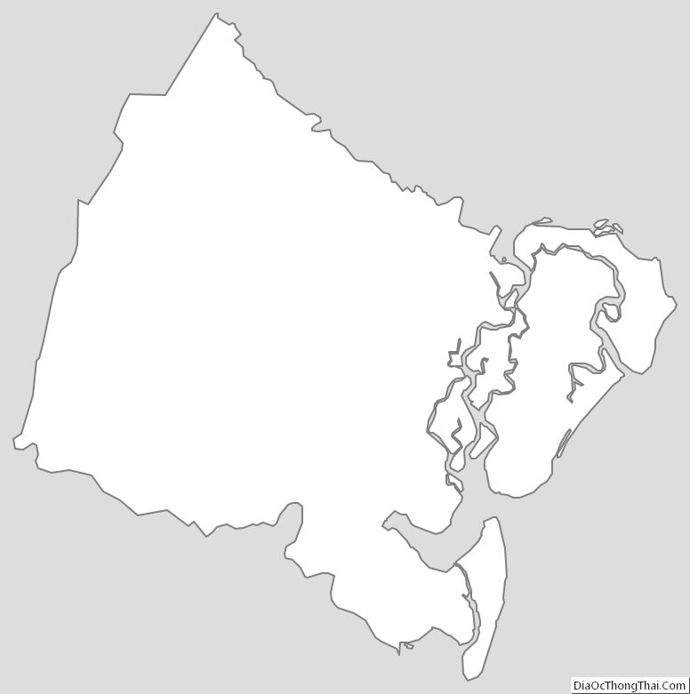
Glynn County Outline Map