Grady County is a county located in the U.S. state of Georgia. As of the 2020 census, the population was 26,236. The county seat is Cairo.
| Name: | Grady County |
|---|---|
| FIPS code: | 13-131 |
| State: | Georgia |
| Founded: | 1905 |
| Named for: | Henry W. Grady |
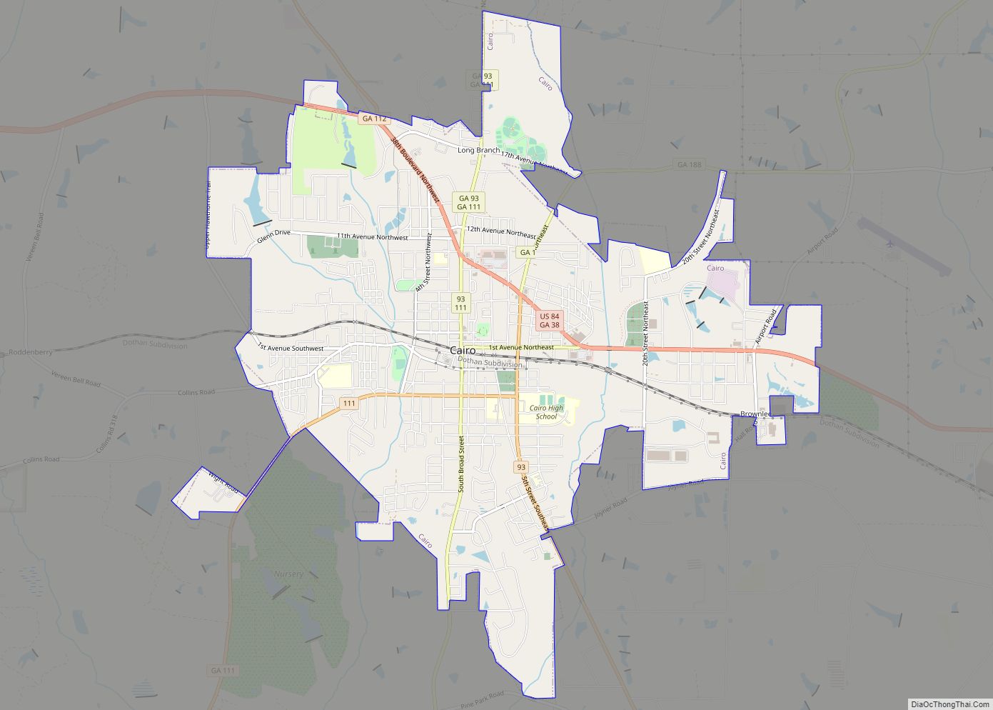
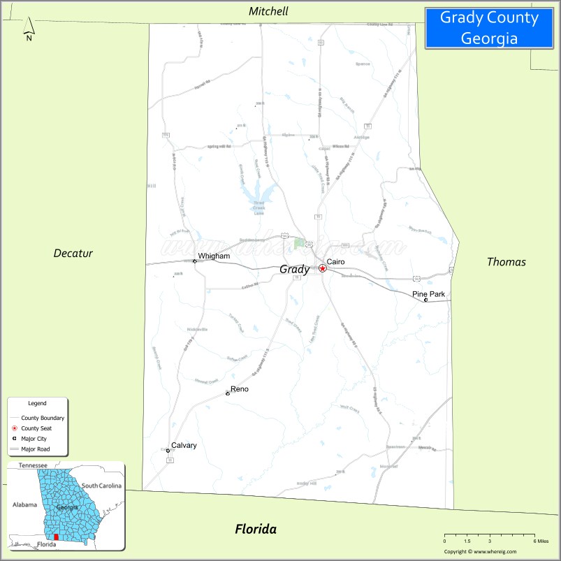
| Seat: | Cairo |
| Largest city: | Cairo |
| Total Area: | 460 sq mi (1,200 km²) |
| Land Area: | 455 sq mi (1,180 km²) |
| Total Population: | 26,236 |
| Population Density: | 58/sq mi (22/km²) |
| Time zone: | UTC−5 (Eastern) |
| Summer Time Zone (DST): | UTC−4 (EDT) |
| Website: | www.gradycountyga.gov |
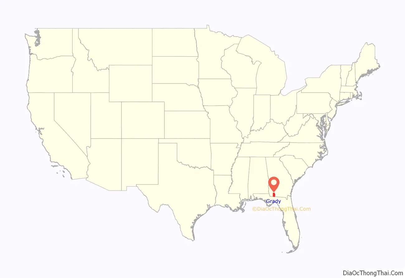
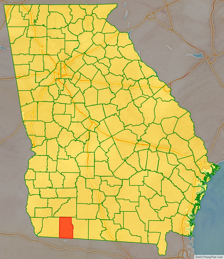
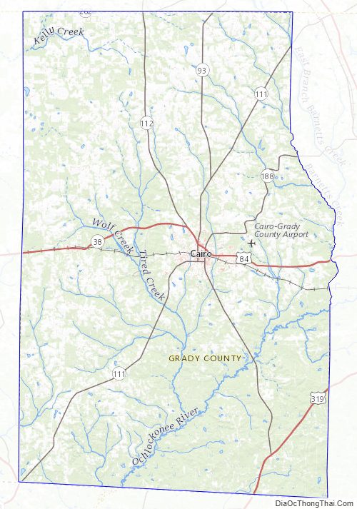
Grady County location map. Where is Grady County?
History
Grady County was created by an act of the Georgia General Assembly on August 17, 1905, from portions of Decatur and Thomas Counties.
The county is named for Henry W. Grady, editor of the Atlanta Constitution and noted orator.
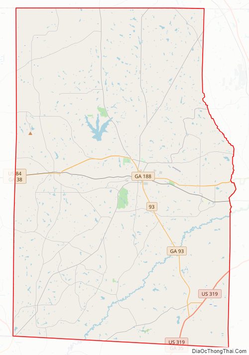
Grady County Road Map
Geography
According to the U.S. Census Bureau, the county has a total area of 460 square miles (1,200 km), of which 455 square miles (1,180 km) is land and 5.7 square miles (15 km) (1.2%) is water.
The bulk of Grady County, centered on Cairo, is located on the Upper Ochlockonee River sub-basin of the larger Ochlockonee River basin. The county’s northwestern corner is located in the Lower Flint River sub-basin of the ACF River Basin (Apalachicola-Chattahoochee-Flint River Basin). Grady County’s western border, from Whigham south, and all of its southern border, is located in the Lower Ochlockonee River sub-basin of the same Ochlockonee River basin. Finally, a very small chunk of the county’s southeastern portion, bisected by U.S. Route 319, is located in the Apalachee Bay-St. Marks sub-basin of the Ochlockonee River basin.
Grady County includes part of the Red Hills Region.
Major highways
- U.S. Route 84
- U.S. Route 319
- State Route 35
- State Route 38
- State Route 38 Spur
- State Route 93
- State Route 111
- State Route 112
- State Route 188
- State Route 262
Adjacent counties
- Mitchell County – north
- Thomas County – east
- Leon County, Florida – south
- Gadsden County, Florida – southwest
- Decatur County – west
Grady County Topographic Map
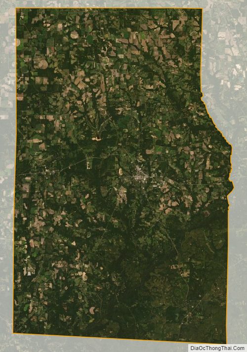
Grady County Satellite Map
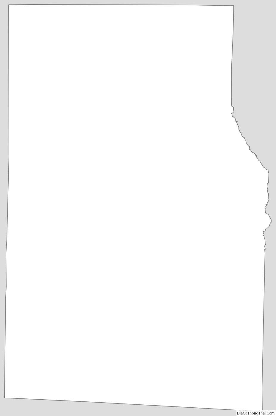
Grady County Outline Map