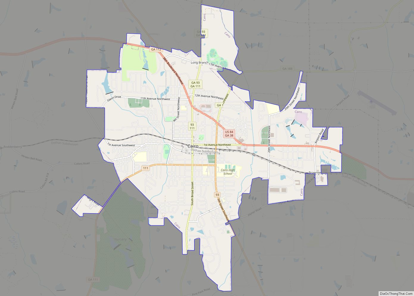
Cairo (/ˈkeɪroʊ/) is a city in Grady County, Georgia, United States. As of the 2020 census, the city had a population of 10,179. The city is the county seat of Grady County.
| Name: | Cairo city |
|---|---|
| LSAD Code: | 25 |
| LSAD Description: | city (suffix) |
| State: | Georgia |
| County: | Grady County |
| Elevation: | 243 ft (74 m) |
| Total Area: | 9.95 sq mi (25.77 km²) |
| Land Area: | 9.81 sq mi (25.42 km²) |
| Water Area: | 0.14 sq mi (0.35 km²) |
| Total Population: | 10,179 |
| Population Density: | 1,037.19/sq mi (400.44/km²) |
| ZIP code: | 39827, 39828 |
| Area code: | 229 |
| FIPS code: | 1312400 |
| GNISfeature ID: | 0354934 |
| Website: | www.syrupcity.net |
Online Interactive Map
Click on ![]() to view map in "full screen" mode.
to view map in "full screen" mode.
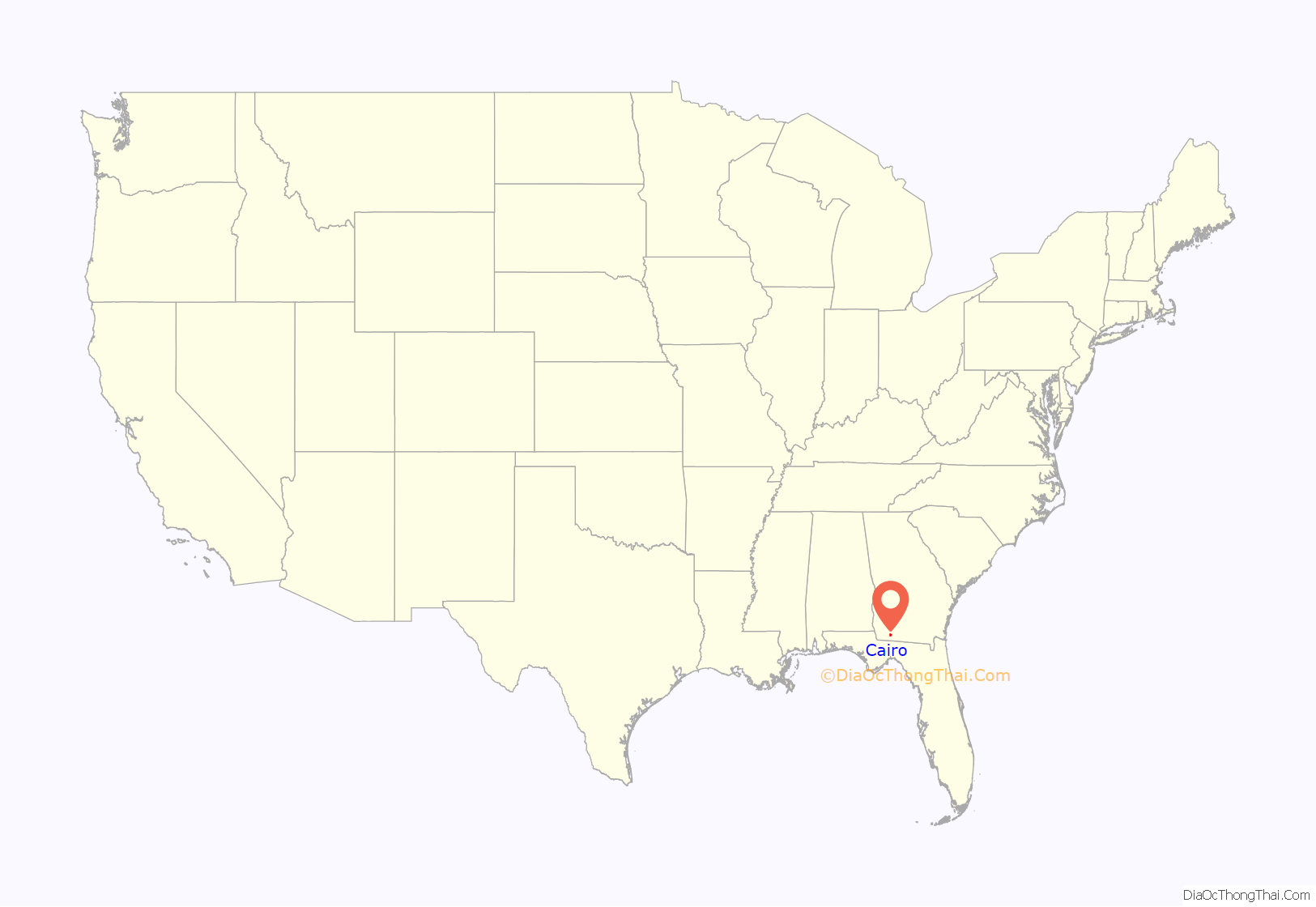
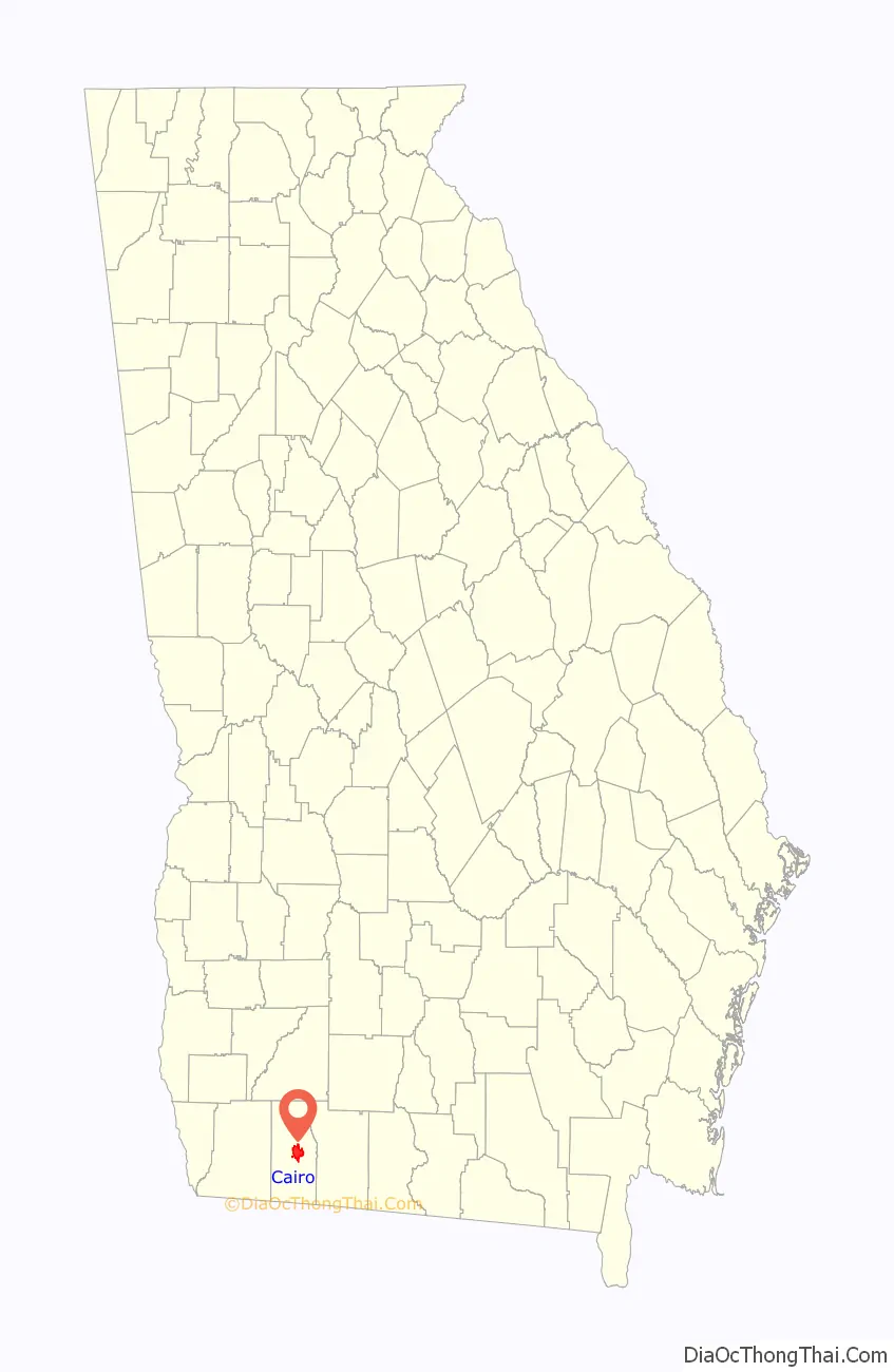
Cairo location map. Where is Cairo city?
History
Cairo was founded in 1835. It was incorporated as a town in 1870 and as a city in 1906. In 1905, Cairo was designated seat of the newly formed Grady County. The city was named after Cairo, the capital of Egypt.
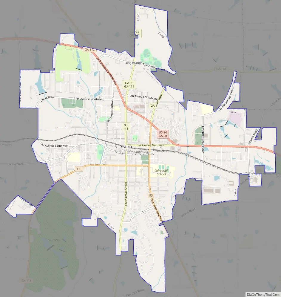
Cairo Road Map
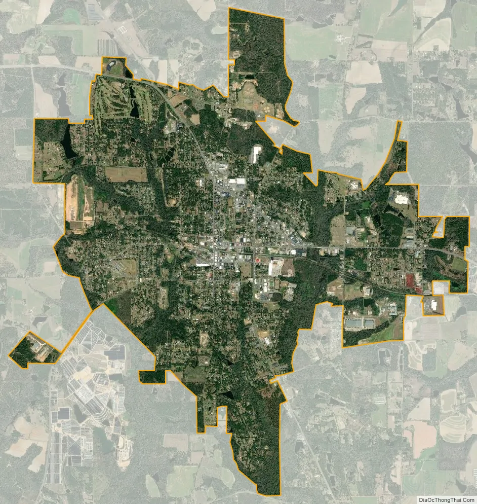
Cairo city Satellite Map
Geography
Cairo is located in central Grady County at 30°52′39″N 84°12′5″W / 30.87750°N 84.20139°W / 30.87750; -84.20139 (30.8774, -84.2013). U.S. Route 84 (38th Boulevard) passes through the northern part of the city, leading east 14 miles (23 km) to Thomasville and west 24 miles (39 km) to Bainbridge. Valdosta is 59 miles (95 km) to the east, and Dothan, Alabama, is 79 miles (127 km) to the west on US 84. Georgia State Route 93 passes through the center of Cairo as Broad Street and Fifth Street; it leads north 19 miles (31 km) to Pelham and south 12 miles (19 km) to U.S. Route 319 north of the Florida border. Tallahassee, Florida, is 33 miles (53 km) to the south.
According to the United States Census Bureau, Cairo has a total area of 9.8 square miles (25.4 km), of which 9.7 square miles (25.1 km) is land and 0.1 square miles (0.3 km), or 1.38%, is water.
Climate
The climate in this area is characterized by relatively high temperatures and evenly distributed precipitation throughout the year. According to the Köppen Climate Classification system, Cairo has a humid subtropical climate, abbreviated “Cfa” on climate maps.
See also
Map of Georgia State and its subdivision:- Appling
- Atkinson
- Bacon
- Baker
- Baldwin
- Banks
- Barrow
- Bartow
- Ben Hill
- Berrien
- Bibb
- Bleckley
- Brantley
- Brooks
- Bryan
- Bulloch
- Burke
- Butts
- Calhoun
- Camden
- Candler
- Carroll
- Catoosa
- Charlton
- Chatham
- Chattahoochee
- Chattooga
- Cherokee
- Clarke
- Clay
- Clayton
- Clinch
- Cobb
- Coffee
- Colquitt
- Columbia
- Cook
- Coweta
- Crawford
- Crisp
- Dade
- Dawson
- Decatur
- DeKalb
- Dodge
- Dooly
- Dougherty
- Douglas
- Early
- Echols
- Effingham
- Elbert
- Emanuel
- Evans
- Fannin
- Fayette
- Floyd
- Forsyth
- Franklin
- Fulton
- Gilmer
- Glascock
- Glynn
- Gordon
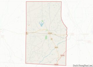
- Grady
- Greene
- Gwinnett
- Habersham
- Hall
- Hancock
- Haralson
- Harris
- Hart
- Heard
- Henry
- Houston
- Irwin
- Jackson
- Jasper
- Jeff Davis
- Jefferson
- Jenkins
- Johnson
- Jones
- Lamar
- Lanier
- Laurens
- Lee
- Liberty
- Lincoln
- Long
- Lowndes
- Lumpkin
- Macon
- Madison
- Marion
- McDuffie
- McIntosh
- Meriwether
- Miller
- Mitchell
- Monroe
- Montgomery
- Morgan
- Murray
- Muscogee
- Newton
- Oconee
- Oglethorpe
- Paulding
- Peach
- Pickens
- Pierce
- Pike
- Polk
- Pulaski
- Putnam
- Quitman
- Rabun
- Randolph
- Richmond
- Rockdale
- Schley
- Screven
- Seminole
- Spalding
- Stephens
- Stewart
- Sumter
- Talbot
- Taliaferro
- Tattnall
- Taylor
- Telfair
- Terrell
- Thomas
- Tift
- Toombs
- Towns
- Treutlen
- Troup
- Turner
- Twiggs
- Union
- Upson
- Walker
- Walton
- Ware
- Warren
- Washington
- Wayne
- Webster
- Wheeler
- White
- Whitfield
- Wilcox
- Wilkes
- Wilkinson
- Worth
- Alabama
- Alaska
- Arizona
- Arkansas
- California
- Colorado
- Connecticut
- Delaware
- District of Columbia
- Florida
- Georgia
- Hawaii
- Idaho
- Illinois
- Indiana
- Iowa
- Kansas
- Kentucky
- Louisiana
- Maine
- Maryland
- Massachusetts
- Michigan
- Minnesota
- Mississippi
- Missouri
- Montana
- Nebraska
- Nevada
- New Hampshire
- New Jersey
- New Mexico
- New York
- North Carolina
- North Dakota
- Ohio
- Oklahoma
- Oregon
- Pennsylvania
- Rhode Island
- South Carolina
- South Dakota
- Tennessee
- Texas
- Utah
- Vermont
- Virginia
- Washington
- West Virginia
- Wisconsin
- Wyoming