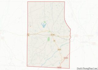
Whigham is a city in Grady County, Georgia, United States. The population was 471 at the 2010 census, down from 631 in 2000.
| Name: | Whigham city |
|---|---|
| LSAD Code: | 25 |
| LSAD Description: | city (suffix) |
| State: | Georgia |
| County: | Grady County |
| Elevation: | 282 ft (86 m) |
| Total Area: | 1.19 sq mi (3.07 km²) |
| Land Area: | 1.17 sq mi (3.04 km²) |
| Water Area: | 0.01 sq mi (0.03 km²) |
| Total Population: | 428 |
| Population Density: | 364.88/sq mi (140.83/km²) |
| ZIP code: | 31797, 39897 |
| Area code: | 229 |
| FIPS code: | 1382412 |
| GNISfeature ID: | 0333406 |
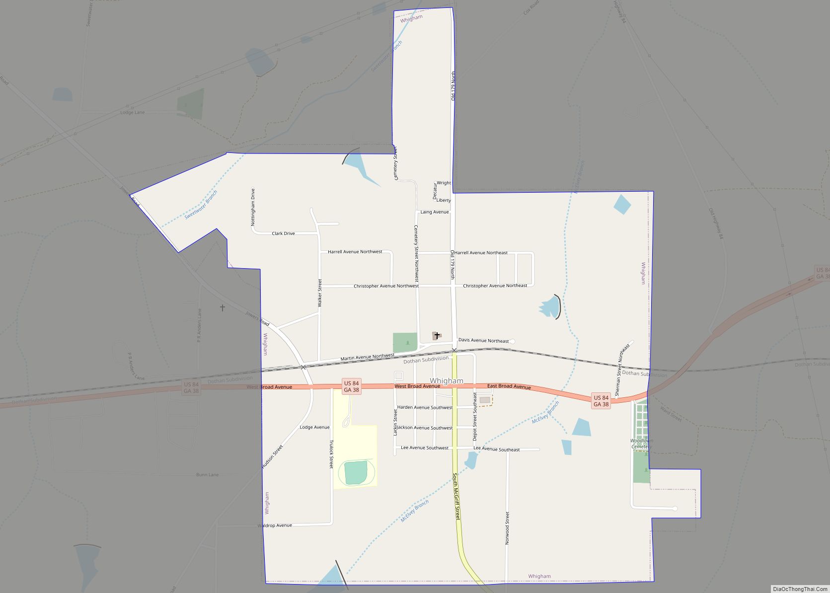
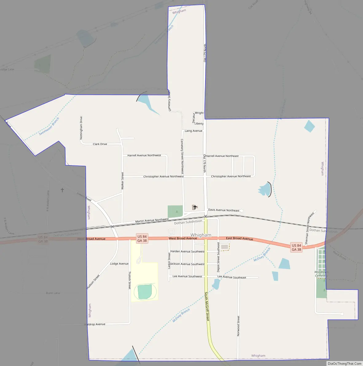
Online Interactive Map
Click on ![]() to view map in "full screen" mode.
to view map in "full screen" mode.
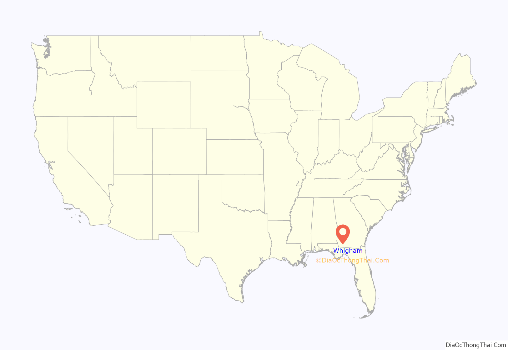
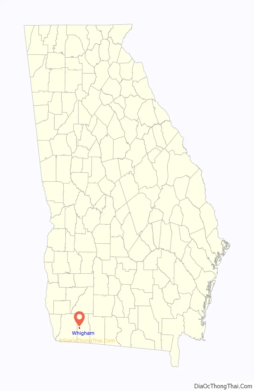
Whigham location map. Where is Whigham city?
History
The community was named after Robert Whigham, a local merchant.
The Georgia General Assembly incorporated Whigham as a town in 1896. It was incorporated again as a city in 1970.
Whigham Road Map
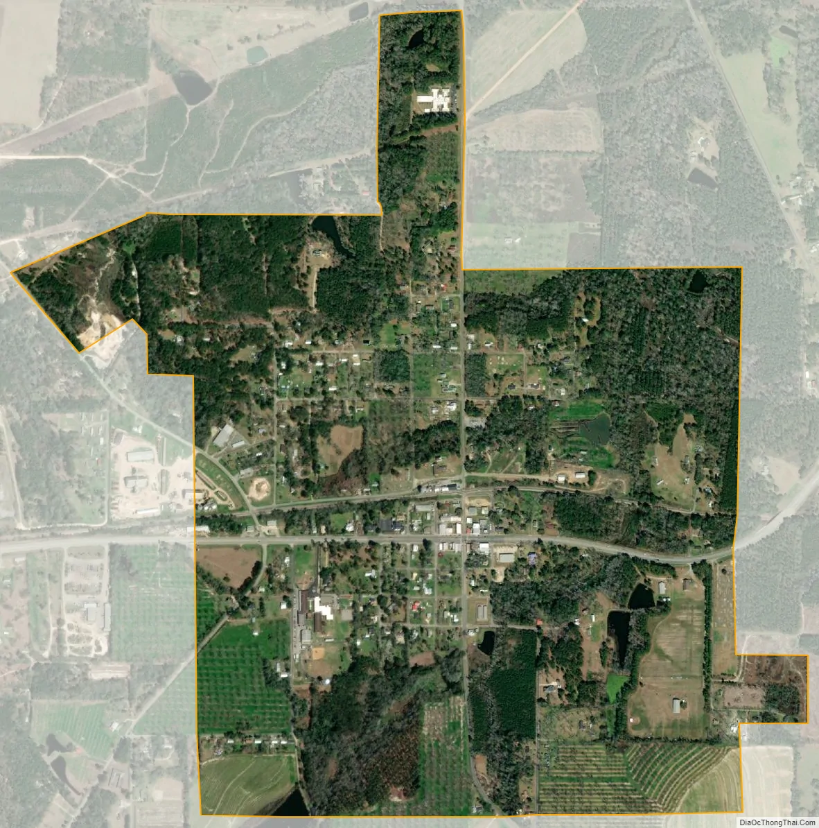
Whigham city Satellite Map
Geography
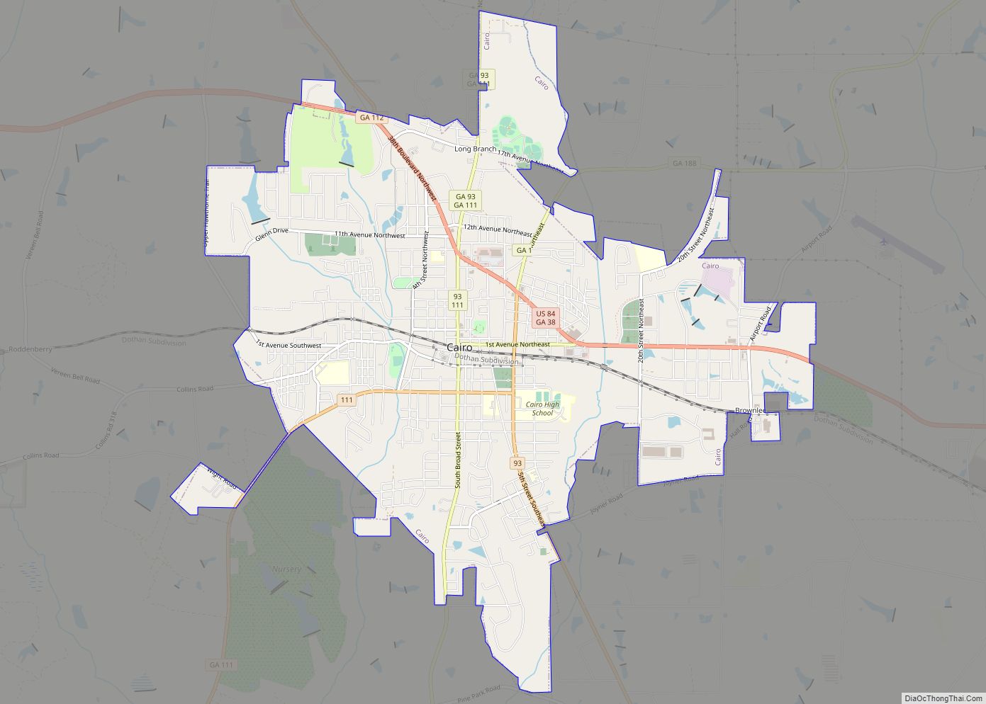
Whigham is located in western Grady County at 30°53′3″N 84°19′30″W / 30.88417°N 84.32500°W / 30.88417; -84.32500 (30.884219, -84.324927). U.S. Route 84 passes through the center of town as Broad Avenue; it leads east 8 miles (13 km) to Cairo, the county seat, and west 15 miles (24 km) to Bainbridge. Valdosta is 67 miles (108 km) to the east, and Dothan, Alabama, is 70 miles (110 km) to the west. Whigham is located halfway between Memphis, Tennessee, and Miami, Florida.
According to the United States Census Bureau, the city has a total area of 1.2 square miles (3.1 km), of which 0.01 square miles (0.03 km), or 0.98%, is water.
See also
Map of Georgia State and its subdivision:- Appling
- Atkinson
- Bacon
- Baker
- Baldwin
- Banks
- Barrow
- Bartow
- Ben Hill
- Berrien
- Bibb
- Bleckley
- Brantley
- Brooks
- Bryan
- Bulloch
- Burke
- Butts
- Calhoun
- Camden
- Candler
- Carroll
- Catoosa
- Charlton
- Chatham
- Chattahoochee
- Chattooga
- Cherokee
- Clarke
- Clay
- Clayton
- Clinch
- Cobb
- Coffee
- Colquitt
- Columbia
- Cook
- Coweta
- Crawford
- Crisp
- Dade
- Dawson
- Decatur
- DeKalb
- Dodge
- Dooly
- Dougherty
- Douglas
- Early
- Echols
- Effingham
- Elbert
- Emanuel
- Evans
- Fannin
- Fayette
- Floyd
- Forsyth
- Franklin
- Fulton
- Gilmer
- Glascock
- Glynn
- Gordon
- Grady
- Greene
- Gwinnett
- Habersham
- Hall
- Hancock
- Haralson
- Harris
- Hart
- Heard
- Henry
- Houston
- Irwin
- Jackson
- Jasper
- Jeff Davis
- Jefferson
- Jenkins
- Johnson
- Jones
- Lamar
- Lanier
- Laurens
- Lee
- Liberty
- Lincoln
- Long
- Lowndes
- Lumpkin
- Macon
- Madison
- Marion
- McDuffie
- McIntosh
- Meriwether
- Miller
- Mitchell
- Monroe
- Montgomery
- Morgan
- Murray
- Muscogee
- Newton
- Oconee
- Oglethorpe
- Paulding
- Peach
- Pickens
- Pierce
- Pike
- Polk
- Pulaski
- Putnam
- Quitman
- Rabun
- Randolph
- Richmond
- Rockdale
- Schley
- Screven
- Seminole
- Spalding
- Stephens
- Stewart
- Sumter
- Talbot
- Taliaferro
- Tattnall
- Taylor
- Telfair
- Terrell
- Thomas
- Tift
- Toombs
- Towns
- Treutlen
- Troup
- Turner
- Twiggs
- Union
- Upson
- Walker
- Walton
- Ware
- Warren
- Washington
- Wayne
- Webster
- Wheeler
- White
- Whitfield
- Wilcox
- Wilkes
- Wilkinson
- Worth
- Alabama
- Alaska
- Arizona
- Arkansas
- California
- Colorado
- Connecticut
- Delaware
- District of Columbia
- Florida
- Georgia
- Hawaii
- Idaho
- Illinois
- Indiana
- Iowa
- Kansas
- Kentucky
- Louisiana
- Maine
- Maryland
- Massachusetts
- Michigan
- Minnesota
- Mississippi
- Missouri
- Montana
- Nebraska
- Nevada
- New Hampshire
- New Jersey
- New Mexico
- New York
- North Carolina
- North Dakota
- Ohio
- Oklahoma
- Oregon
- Pennsylvania
- Rhode Island
- South Carolina
- South Dakota
- Tennessee
- Texas
- Utah
- Vermont
- Virginia
- Washington
- West Virginia
- Wisconsin
- Wyoming