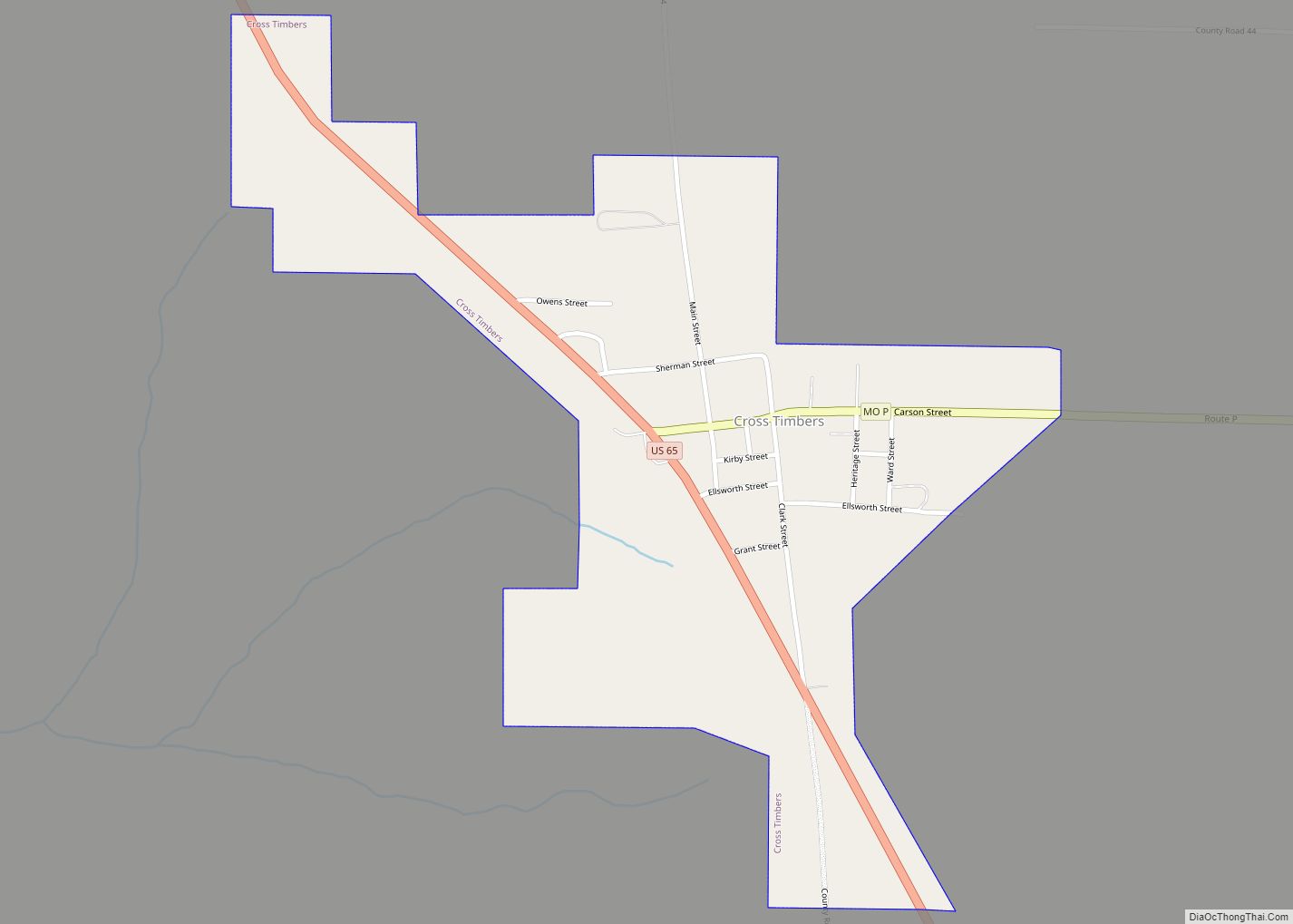
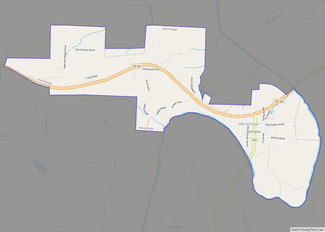
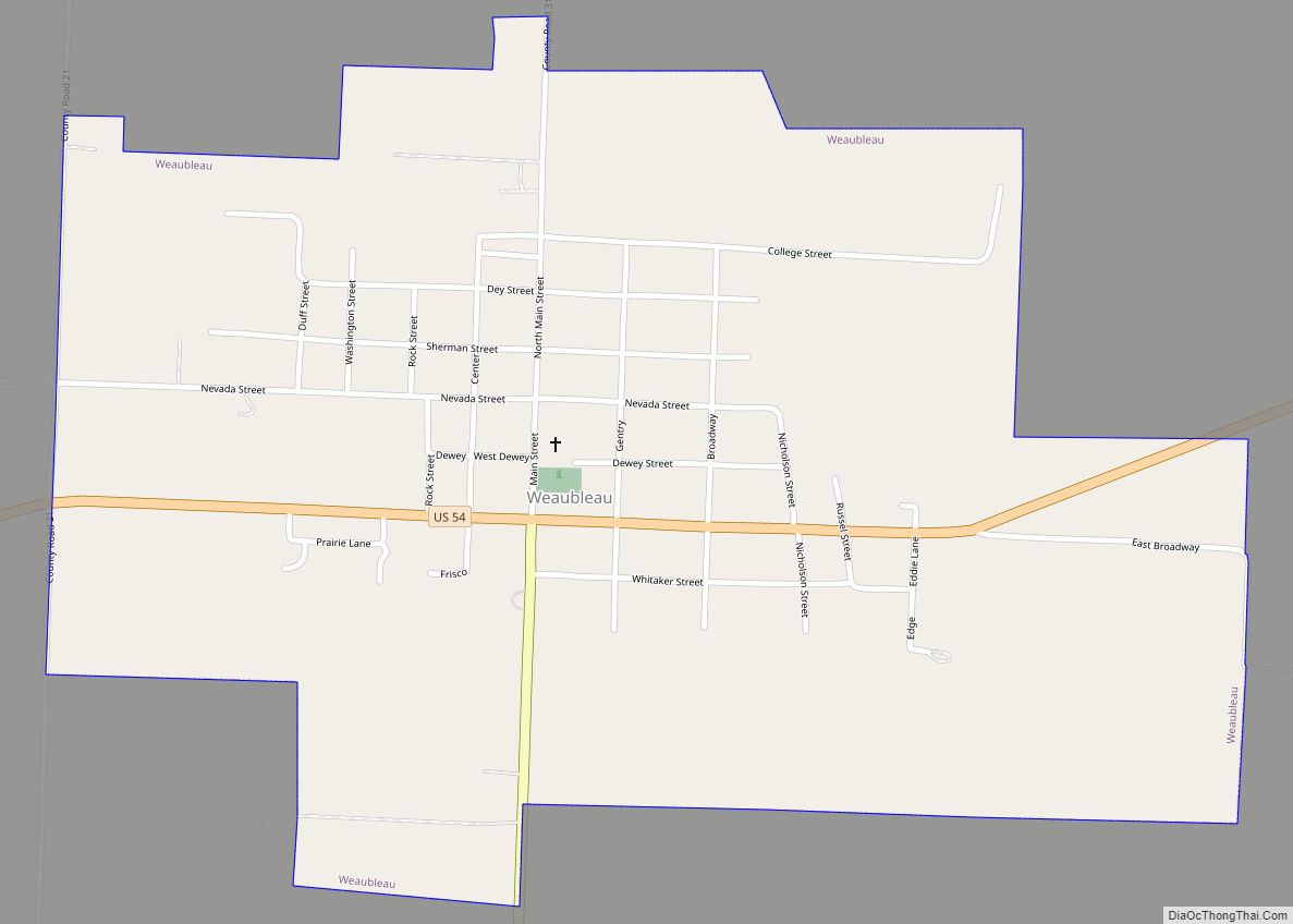
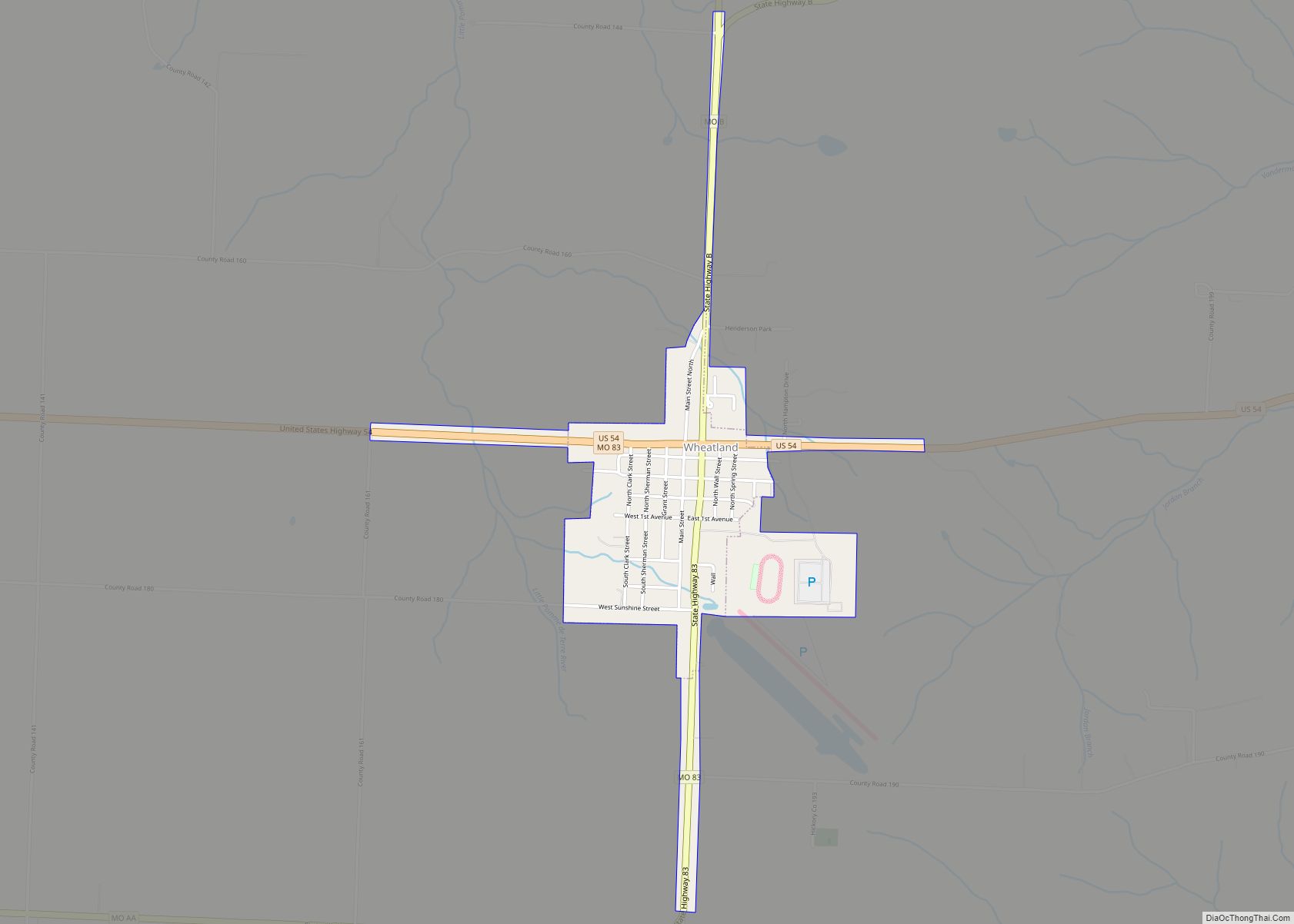
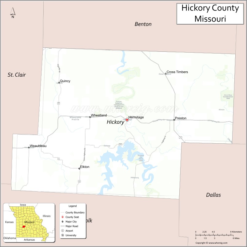
Hickory County is located in the U.S. state of Missouri. As of the 2020 census, the population was 8,279. Its county seat is Hermitage. The county was organized February 14, 1845, and named after President Andrew Jackson, whose nickname was “Old Hickory.” The Pomme de Terre Dam, a Corps of Engineers facility, is located three miles south of Hermitage and forms Lake Pomme de Terre by damming the Pomme de Terre River and Lindley Creek. Truman Reservoir, also a Corps of Engineers facility, floods the Pomme de Terre Reservoir from the northern border of the county southward to the city limits of Hermitage.
| Name: | Hickory County |
|---|---|
| FIPS code: | 29-085 |
| State: | Missouri |
| Founded: | February 14, 1845 |
| Named for: | Andrew Jackson, nicknamed “Old Hickory” |
| Seat: | Hermitage |
| Largest city: | Hermitage |
| Total Area: | 412 sq mi (1,070 km²) |
| Land Area: | 399 sq mi (1,030 km²) |
| Total Population: | 8,279 |
| Population Density: | 20/sq mi (7.8/km²) |
| Time zone: | UTC−6 (Central) |
| Summer Time Zone (DST): | UTC−5 (CDT) |
| Website: | Hickory County, Missouri |
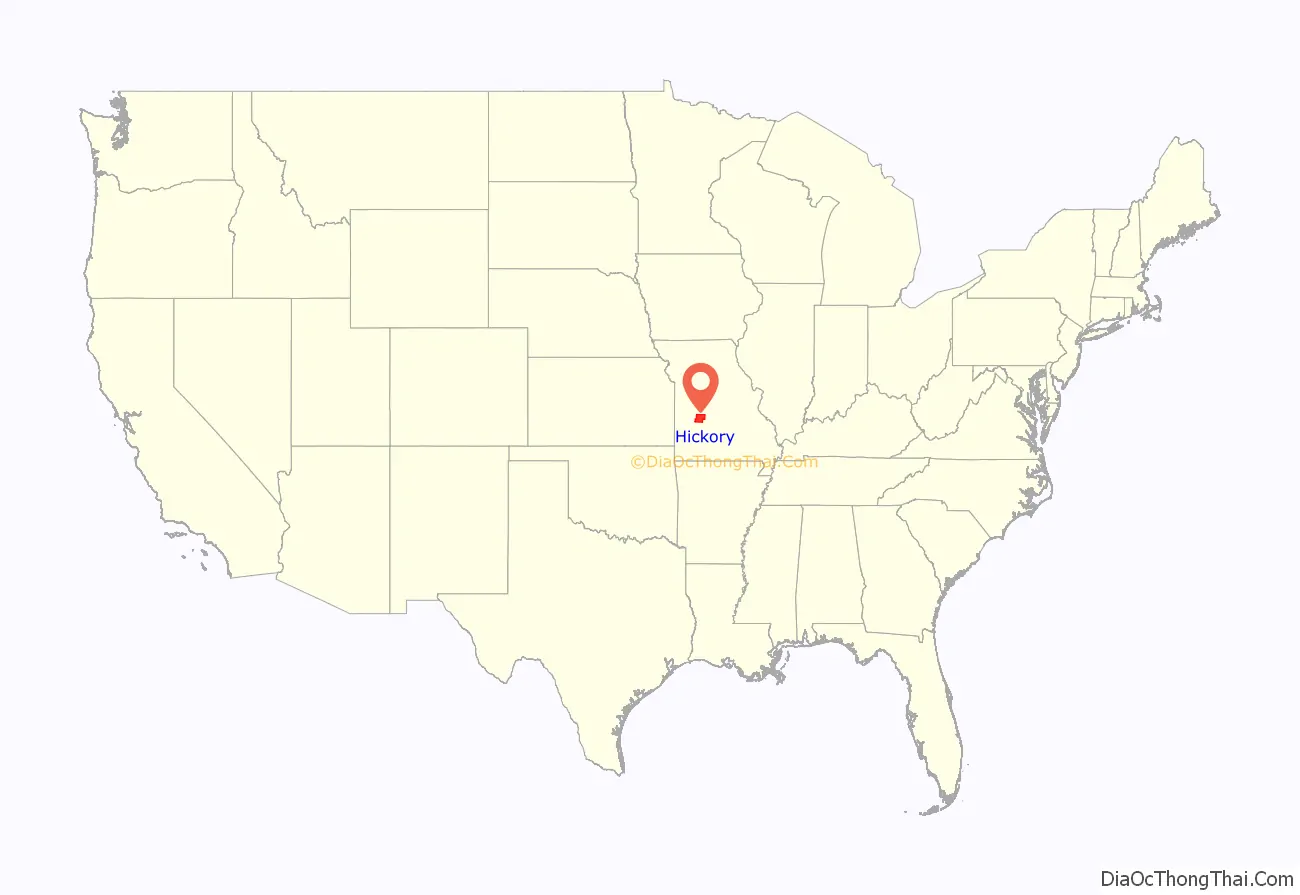
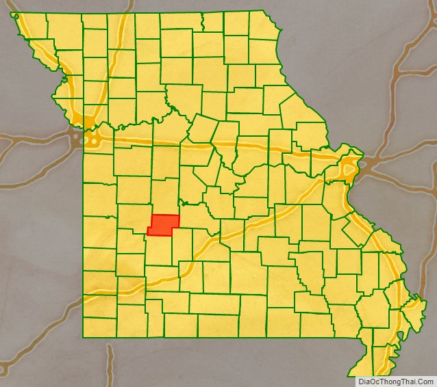
Hickory County location map. Where is Hickory County?
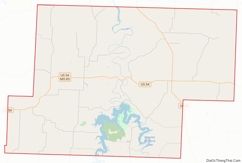
Hickory County Road Map
Geography
According to the U.S. Census Bureau, the county has a total area of 412 square miles (1,070 km), of which 399 square miles (1,030 km) is land and 13 square miles (34 km) (3.1%) is water. It is the fifth-smallest county in Missouri by area.
Adjacent counties
- Benton County (north)
- Camden County (east)
- Dallas County (southeast)
- Polk County (south)
- St. Clair County (west)
Major highways
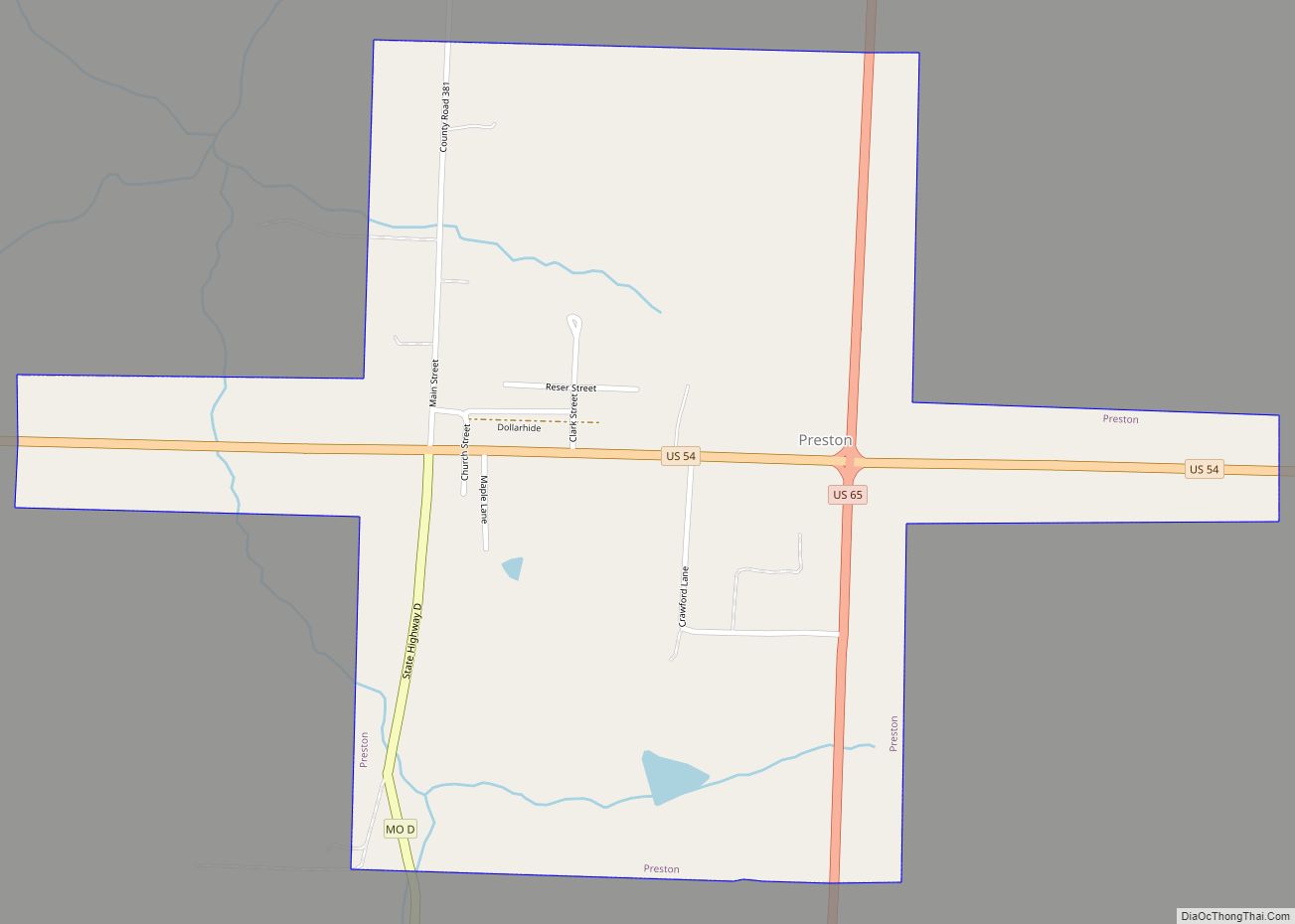
- U.S. Route 54
- U.S. Route 65
- Route 64
- Route 64B
- Route 83
- Route 123
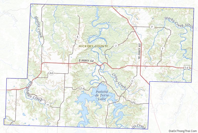
Hickory County Topographic Map
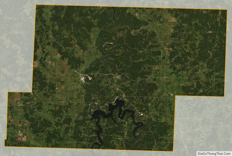
Hickory County Satellite Map
Hickory County Outline Map