Honolulu County (officially known as the City and County of Honolulu, formerly Oahu County) is a consolidated city-county in the U.S. state of Hawaii. The city-county includes both the city of Honolulu (the state’s capital and largest city) and the rest of the island of Oʻahu, as well as several minor outlying islands, including all of the Northwestern Hawaiian Islands (islands beyond Niihau) except Midway Atoll.
The consolidated city-county was established in the city charter adopted in 1907 and accepted by the Legislature of the Territory of Hawaii. As a municipal corporation and jurisdiction it manages aspects of government traditionally exercised by both municipalities and counties in the rest of the United States.
As of the 2020 United States Census, the population was 1,016,508. Because of Hawaii’s municipal structure, the United States Census Bureau divides Honolulu County into several census-designated places for statistical purposes.
The mayor of Honolulu County is Rick Blangiardi. The county motto is “Haʻaheo No ʻO Honolulu (Honolulu Pride)”. About 70% of the state’s population lives in Honolulu County. Only Nevada has a higher percentage of its population living in its most populous county. 43.0% of residents identify as Asian or Asian American, the highest of any U.S. county.
| Name: | Honolulu County |
|---|---|
| FIPS code: | 15-003 |
| State: | Hawaii |
| Founded: | 1905 |
| Seat: | Honolulu |
| Total Area: | 2,128 sq mi (5,510 km²) |
| Land Area: | 601 sq mi (1,560 km²) |
| Total Population: | 1,016,508 |
| Population Density: | 1,691/sq mi (653/km²) |
| Time zone: | UTC-10 (Hawaii-Aleutian Standard Time) |
| Website: | www.honolulu.gov |
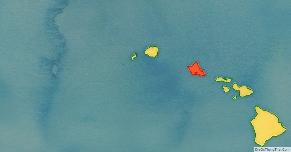
Honolulu County location map. Where is Honolulu County?
Honolulu County Road Map
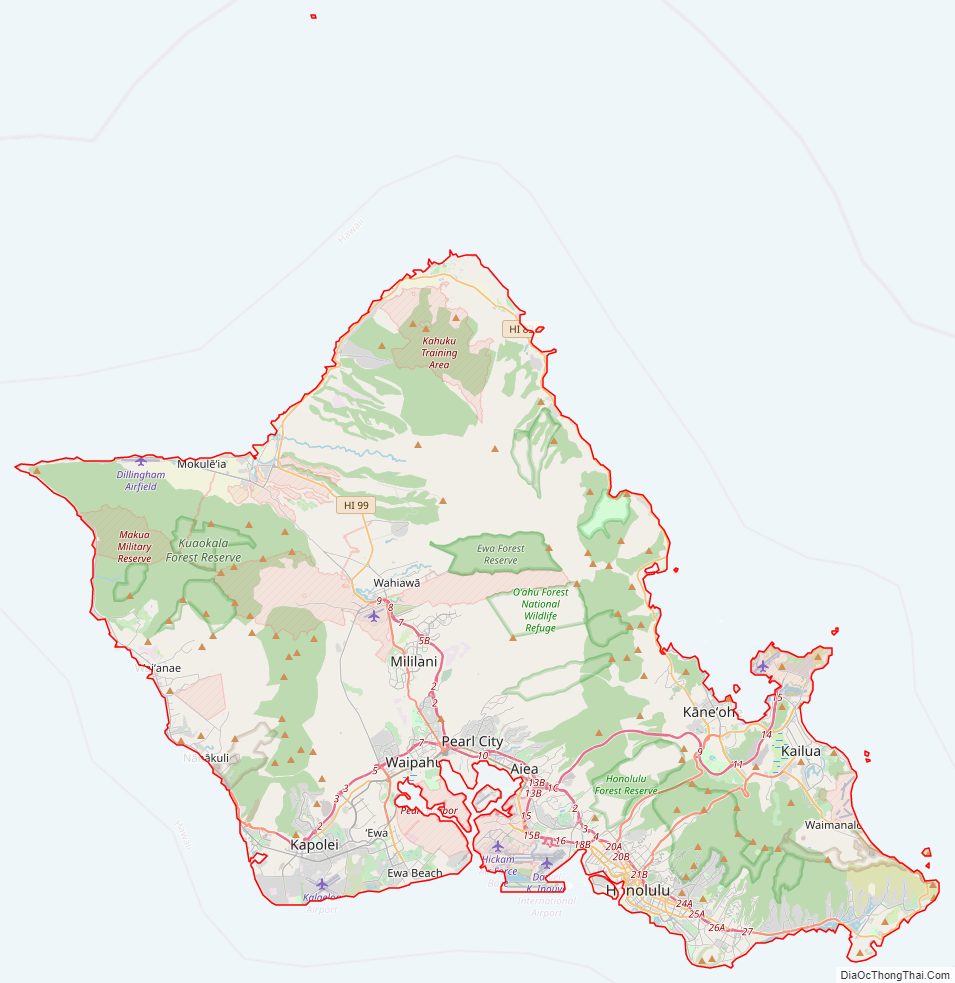
Geography
According to the U.S. Census Bureau, the county has a total area of 2,128 square miles (5,510 km), of which 601 square miles (1,560 km) is land and 1,527 square miles (3,950 km) (71.8%) is water. However, the majority of this area is the Pacific Ocean that surrounds the islands. At over 1,380 miles (2,220 km) from end to end, it is by a significant margin the widest county in the United States.
Adjacent counties
- Maui County – southeast
- Kauai County – northwest of population center
National protected areas
- James Campbell National Wildlife Refuge
- Oʻahu Forest National Wildlife Refuge
- Papahānaumokuākea Marine National Monument
- Pearl Harbor National Wildlife Refuge
- USS Arizona Memorial
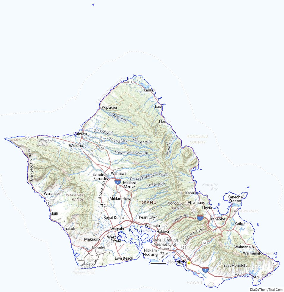
Honolulu County Topographic Map
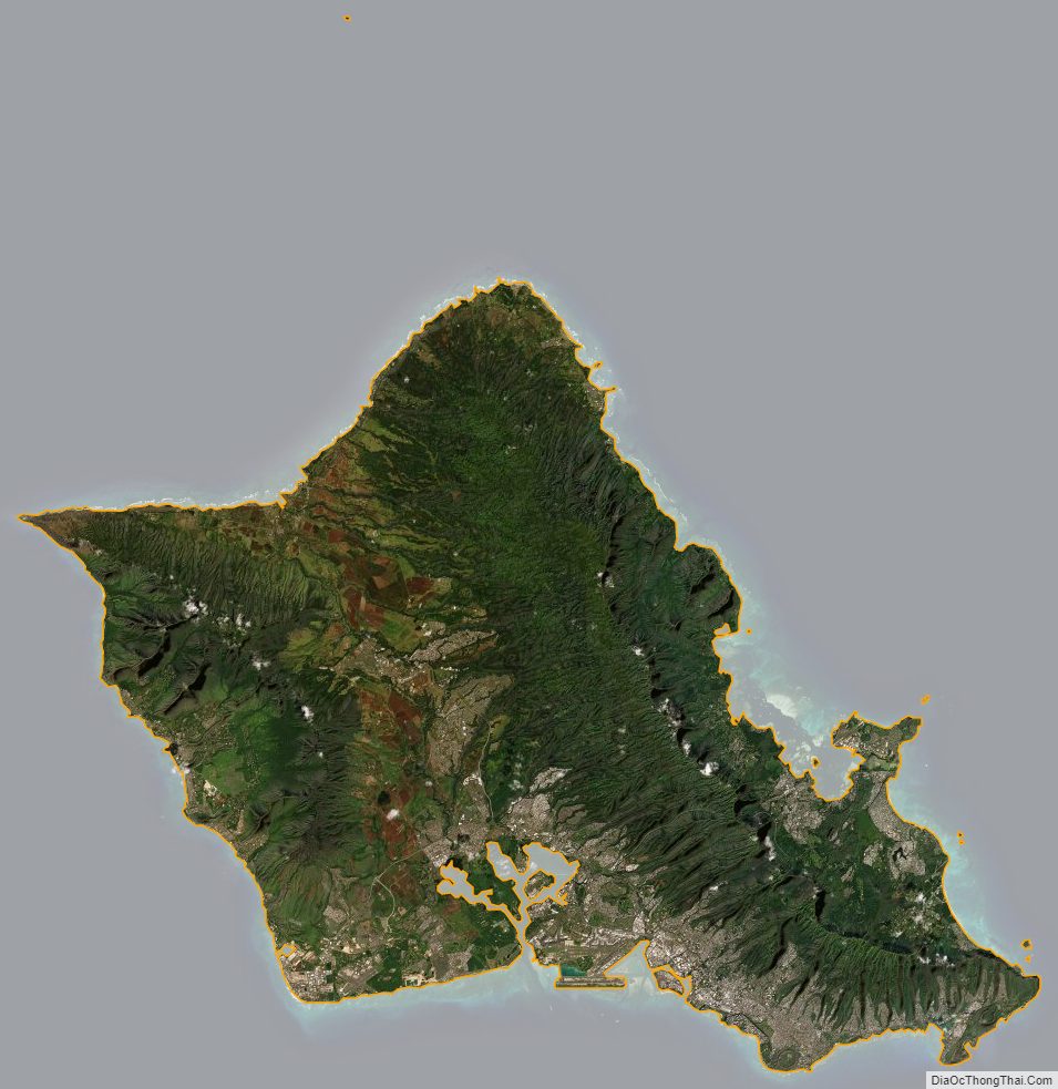
Honolulu County Satellite Map
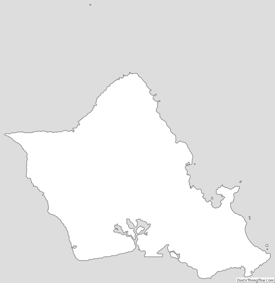
Honolulu County Outline Map