Clark County is located in the U.S. state of Nevada. As of the 2020 census, the population was 2,265,461. Most of the county population resides in the Las Vegas Census County Divisions, which hold 2,196,623 people as of the 2020 Census, across 435 square miles (1,130 km). It is by far the most populous county in Nevada, and the 12th most populous county in the United States. It covers 7% of the state’s land area but holds 73% of the state’s population, making Nevada one of the most centralized states in the United States.
| Name: | Clark County |
|---|---|
| FIPS code: | 32-003 |
| State: | Nevada |
| Named for: | William A. Clark |
| Seat: | Las Vegas |
| Largest city: | Las Vegas |
| Total Area: | 8,061 sq mi (20,880 km²) |
| Land Area: | 7,891 sq mi (20,440 km²) |
| Total Population: | 2,265,461 |
| Population Density: | 290.5/sq mi (112.2/km²) |
| Time zone: | UTC−8 (Pacific Time Zone) |
| Summer Time Zone (DST): | UTC−7 (Pacific Daylight Time) |
| Website: | www.clarkcountynv.gov |
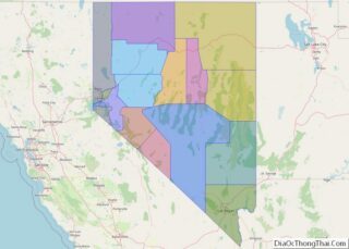
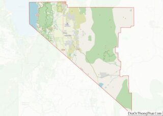
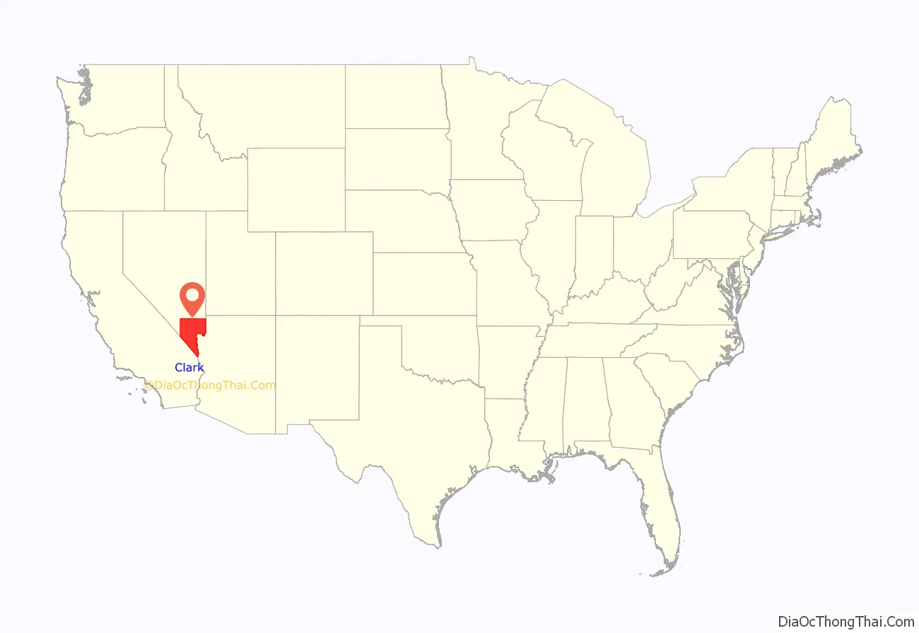
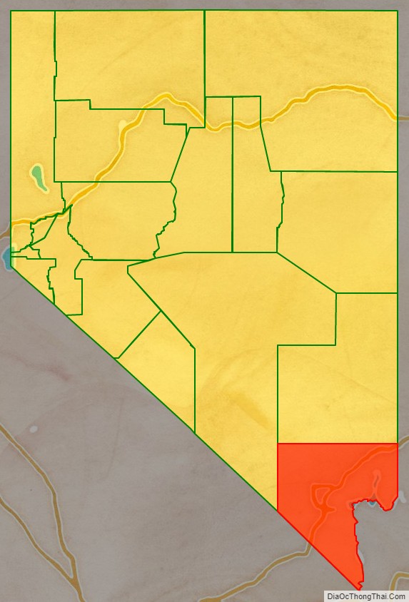
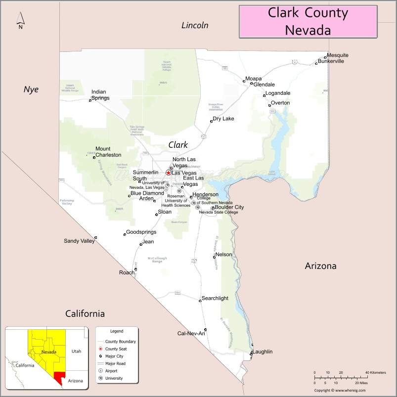
Clark County location map. Where is Clark County?
History
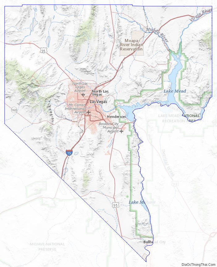
Las Vegas, the state’s most populous city, has been the county seat since its establishment. The county was formed by the Nevada Legislature by splitting off a portion of Lincoln County on February 5, 1909, and was organized on July 1, 1909. The Las Vegas Valley, a 600 sq mi (1,600 km) basin, includes Las Vegas and other major cities and communities such as North Las Vegas, Henderson, and the unincorporated community of Paradise.
Native Americans lived in the Las Vegas Valley beginning over 10,000 years ago. Paiutes moved into the area as early as AD 700. Previously part of the Mexican Territory of Alta California, the Clark County lands were subsequently traversed by American beaver trappers. Word of their journeys inspired the New Mexican merchant Antonio Armijo in 1829 to establish the first route for mule trains and herds of livestock from Nuevo Mexico to Alta California through the area, along the Virgin and Colorado Rivers. Called the Armijo Route of the Old Spanish Trail, the route was later modified into the Main Route by the passing merchants, trappers, drovers, Ute raiders and settlers over the years by moving to a more direct route. In Clark County it was northward away from the Colorado to a series of creeks, waterholes and springs like those at Las Vegas, to which John C. Frémont added Frémont’s Cutoff on his return from California to Utah in 1844.
What is now Clark County was acquired by the United States during the Mexican–American War, becoming part of the northwestern corner of New Mexico Territory. In 1847, Jefferson Hunt and other Mormon Battalion members returning to Salt Lake City from Los Angeles pioneered a wagon route through the County that became the Mormon Road. In 1849, this road became known as the “Southern Route”, the winter route of the California Trail from Salt Lake City to Los Angeles during the California Gold Rush. By the mid-1850s, the route now known as the Salt Lake Road in California, and the California Road in Utah Territory, was a wagon trade route between the two. In the mid-1850s, Mormons established a settlement at Las Vegas. In the 1860s, Mormon colonies were established along the Virgin and Muddy Rivers.
All of the county was part of Mohave County, Arizona Territory, when that Territory was formed in 1863, before Nevada became a state. In 1865, it became part of Pah-Ute County, Arizona Territory. The part of Pah-Ute County north and west of the Colorado River was assigned to the new State of Nevada in 1866; however, Arizona territory fought the division until 1871. Pah-Ute County became part of Lincoln County and the westernmost part became the southernmost part of Nye County.
Clark County was named for William A. Clark, a Montana copper magnate and Democratic U.S. Senator. Clark was largely responsible for construction of the San Pedro, Los Angeles and Salt Lake Railroad through the area, contributing to the region’s early development. Clark County is a major tourist destination, with 150,000 hotel rooms. The Las Vegas Strip, home to most of the hotel-casinos known to many around the world, is not within the City of Las Vegas limits, but in unincorporated Paradise. It is, however, in the Las Vegas Valley.
Clark County is geographically coextensive with the Las Vegas MSA, a metropolitan statistical area designated by the Office of Management and Budget and used by the United States Census Bureau and other agencies for statistical purposes. Over time and influenced by climate change, droughts in Southern Nevada have been increasing in frequency and severity, putting a further strain on Clark County’s and Las Vegas’s water security.
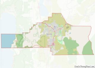
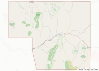
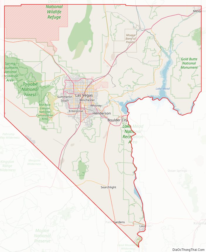
Clark County Road Map
Geography
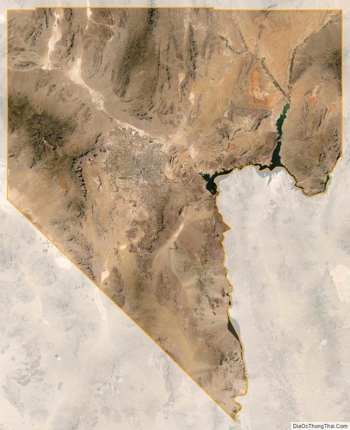
The Colorado River forms the county’s southeastern boundary, with Hoover Dam forming Lake Mead along much of its length. The lowest point in the state of Nevada is on the Colorado River just south of Laughlin in Clark County, where it flows out of Nevada into California and Arizona. Greater Las Vegas is a tectonic valley, surrounded by four mountain ranges, with nearby Mount Charleston being the highest elevation at 11,918 ft (3,633 m), located to the northwest. Other than the forests on Mount Charleston, the geography in Clark County is a desert. Creosote bushes are the main native vegetation, and the mountains are mostly rocky with little vegetation. The terrain slopes to the south and east. The county has an area of 20,879 km (8,061 sq mi), of which 20,438 km (7,891 sq mi) is land and 441 km (170 sq mi) (2.1%) is water.
Adjacent counties
- Lincoln County – north
- Mohave County, Arizona – east (observes Mountain Time)
- San Bernardino County, California – south
- Inyo County, California – southwest
- Nye County – west
National protected areas
- Desert National Wildlife Refuge (part)
- Humboldt-Toiyabe National Forest (part)
- Lake Mead National Recreation Area (part)
- Moapa Valley National Wildlife Refuge
- Red Rock Canyon National Conservation Area
- Sloan Canyon National Conservation Area
- Spring Mountains National Recreation Area (part)
- Toiyabe National Forest (part)
- Tule Springs Fossil Beds National Monument (part)
Twenty official wilderness areas in Clark County are part of the National Wilderness Preservation System. Many of these are in, or partially in, one of the preceding protected areas, as shown below. Many are separate entities that are managed by the Bureau of Land Management (BLM):
- Arrow Canyon Wilderness (BLM)
- Black Canyon Wilderness (Nevada) (Lake Mead National Recreational Area [NRA])
- Bridge Canyon Wilderness (Lake Mead NRA)
- Eldorado Wilderness (Lake Mead NRA / BLM)
- Ireteba Peaks Wilderness (Lake Mead NRA / BLM)
- Jimbilnan Wilderness (Lake Mead NRA)
- Jumbo Springs Wilderness (BLM)
- La Madre Mountain Wilderness (BLM / Toiyabe National Forest [NF])
- Lime Canyon Wilderness (BLM)
- Meadow Valley Range Wilderness (BLM) mostly in Lincoln County, Nevada
- Mormon Mountains Wilderness (BLM) mostly in Lincoln County, Nevada
- Mount Charleston Wilderness (Toiyabe NF / BLM)
- Muddy Mountains Wilderness (BLM / Lake Mead NRA)
- Nellis Wash Wilderness (Lake Mead NRA)
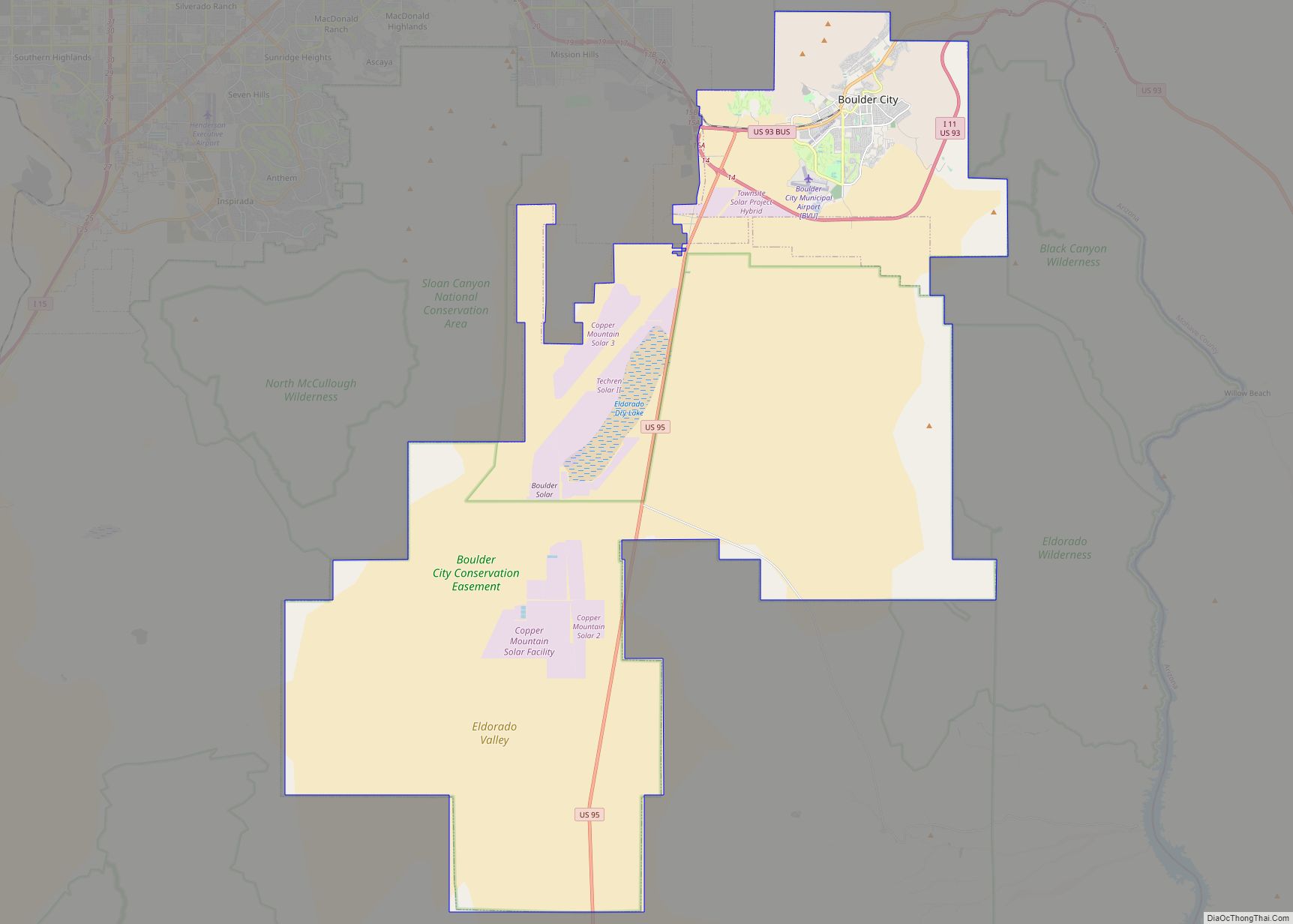
- North McCullough Wilderness (part of Sloan Canyon NCA, which is managed by BLM)
- Pinto Valley Wilderness (Lake Mead NRA)
- Rainbow Mountain Wilderness (BLM / Toiyabe NF)
- South McCullough Wilderness (BLM)
- Spirit Mountain Wilderness (Lake Mead NRA / BLM)
- Wee Thump Joshua Tree Wilderness (BLM)
Environmental factors
Clark County has diverse desert flora and fauna, including higher-elevation mountain areas, the desert floor, and the Colorado River/Lake Mead ecosystems. Variations in diurnal temperature as well as seasonal swings in temperature create demanding adaptation elements on the species of this county. Population expansion, especially since 1970, has placed additional pressure on species in the area.
Correspondingly, air quality levels prior to the 1960s were in a favorable range, but the proliferation of automobiles with the human population expansion created circumstances where some federal air quality standards were violated starting in the 1980s.
To plan for the wave of development forecast by 1980, Clark County embarked on a regional environmental impact assessment funded by a federal Section 208 program, with Sedway Cooke conducting the planning work and Earth Metrics performing environmental analysis. This endeavor projected population growth, land use changes and environmental impacts.
To prevent the loss of federal funds due to unacceptable dust levels in the Las Vegas valley, in 2003 the Nevada Air Quality Management division (under direction of Clark County officials) created the “Don’t Be a Dusthole” campaign. The campaign successfully raised awareness of dust pollution in the Las Vegas valley, quantifiably reducing pollutants and preserving ongoing federal funding.
The Apex Landfill, at 2,200 acres (890 ha), is the nation’s largest landfill. Republic Services owns and operates the landfill.
Earthquake hazards
Nevada is the third most seismically active state in the U.S. (after Alaska and California); the United States Geological Survey has estimated that over the next 50 years, Clark County has a 10–20% chance of a M6.0 or greater earthquake occurring within 50 km (31 mi) of Las Vegas.
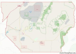
Clark County Topographic Map
Clark County Satellite Map
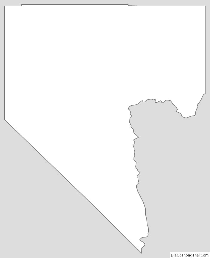
Clark County Outline Map