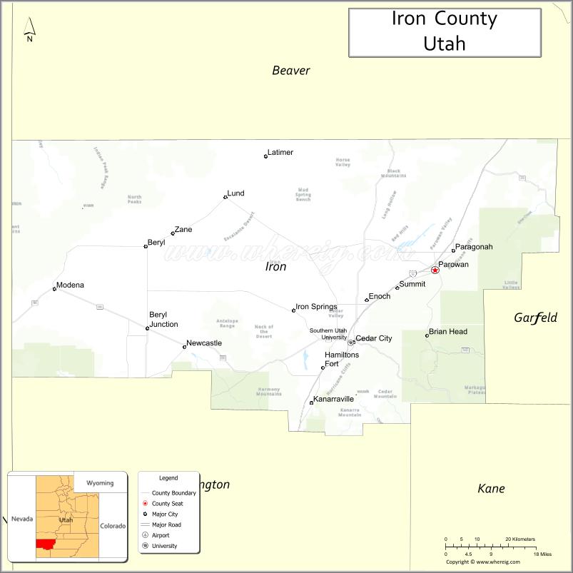
Iron County is a county in southwestern Utah, United States. As of the 2010 United States Census, the population was 46,163. Its county seat is Parowan, and the largest city is Cedar City.
The Cedar City, UT Micropolitan Statistical Area includes all of Iron County.
| Name: | Iron County |
|---|---|
| FIPS code: | 49-021 |
| State: | Utah |
| Founded: | 1850 |
| Named for: | Iron mines |
| Seat: | Parowan |
| Largest city: | Cedar City |
| Total Area: | 3,301 sq mi (8,550 km²) |
| Land Area: | 3,297 sq mi (8,540 km²) |
| Total Population: | 57,289 |
| Population Density: | 17/sq mi (6.7/km²) |
| Time zone: | UTC−7 (Mountain) |
| Summer Time Zone (DST): | UTC−6 (MDT) |
| Website: | www.ironcounty.net |
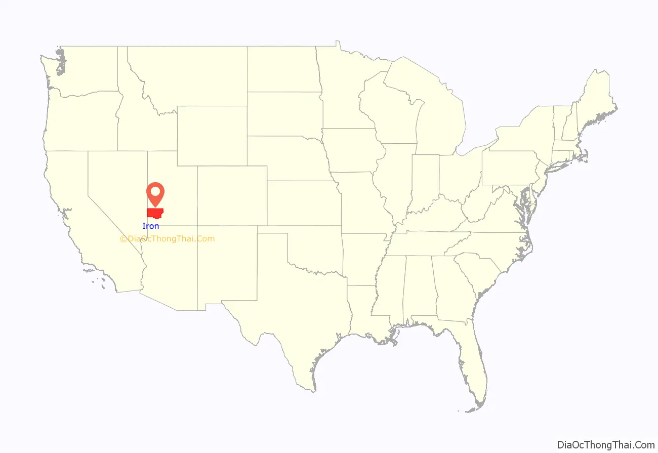
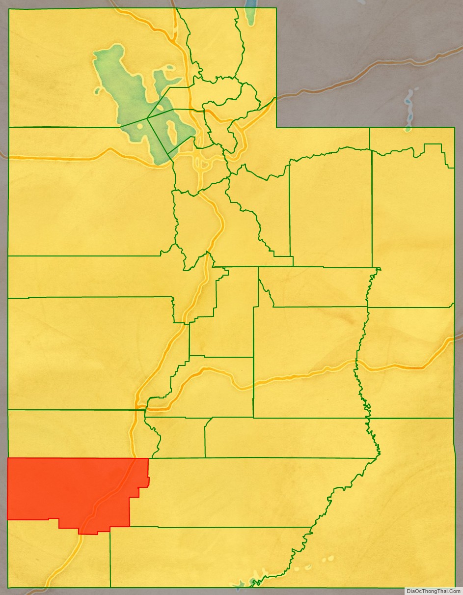
Iron County location map. Where is Iron County?
History
Evidence of Fremont culture habitation ranging from 750 to 1250 AD exists in present Iron County. Petroglyphs of differing periods were carved into the walls of Parowan Gap NW of Parowan. Paiutes roamed the Parowan Valley in the centuries before Euro-American exploration; their descendants are now represented by the Southern Paiute Indian Reservation, which is headquartered in Cedar City.
The Domínguez–Escalante expedition traveled through the Iron County area on October 12, 1776. Fur trapper Jedediah Smith is the first recorded Anglo-American to pass through the area (1826). Settlement of the area began in 1851, when LDS President Brigham Young directed members from the northern colonies to move into the area. A settlement, Coal Creek, sprang up in 1851; it later became Cedar City. To provide a local government structure, the State of Deseret legislature created the county on January 31, 1850, although it was not organized until January 17, 1851, with description stretching from the future Colorado, across Utah, and into the future Nevada. It was named “Little Salt Lake County” at creation, but on December 3, 1850, a legislative act changed its name to Iron County. Its borders were altered in 1850, 1852, 1854, 1856, and 1861. Also, in 1861, the federal government created the Colorado Territory, which administratively removed Iron County areas east of 109 degrees longitude.
The county borders were altered in 1862. Also, in 1862, the federal government created the Nevada Territory, which administratively removed Iron County areas west of 114 degrees longitude. Further boundary adjustments were passed in 1866, 1880, 1882, 1883, and 1884. The final adjustment was made in 1892; the county borders have remained in their current arrangement.
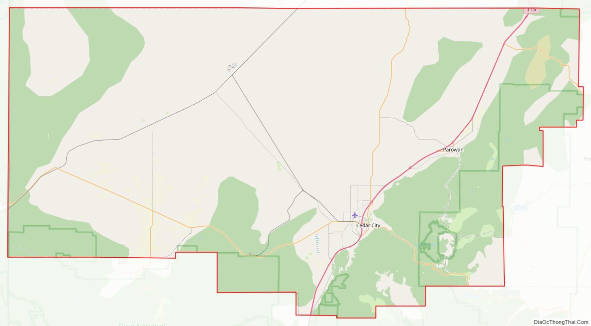
Iron County Road Map
Geography
Iron County lies on the west edge of Utah. Its west border abuts the east border of the state of Nevada. The Iron County terrain is a study in contrast to its arid western reaches of the Escalante Desert and Great Basin ranges to the meadows and forests of the High Plateau on the east. The Markagunt Plateau is creased by the colorful formations of Cedar Breaks National Monument. Brian Head is the county’s highest point, at 11,307 feet (3,446 m) ASL. The county has a total area of 3,301 square miles (8,550 km), of which 3,297 square miles (8,540 km) is land and 4.4 square miles (11 km) (0.1%) is water.
Major highways
- Interstate 15
- Utah State Route 14
- Utah State Route 56
- Utah State Route 130
- Utah State Route 143
- Utah State Route 148
Adjacent counties
- Beaver County – north
- Garfield County – east
- Kane County – southeast
- Washington County – south
- Lincoln County, Nevada – west
Protected areas
- Cedar Breaks National Monument
- Dixie National Forest (part)
- Fishlake National Forest (part)
- Red Cliffs National Conservation Area (part)
- Zion National Park (part)
Lakes
- Little Salt Lake
- Newcastle Reservoir
- Quichapa Lake
Iron County Topographic Map
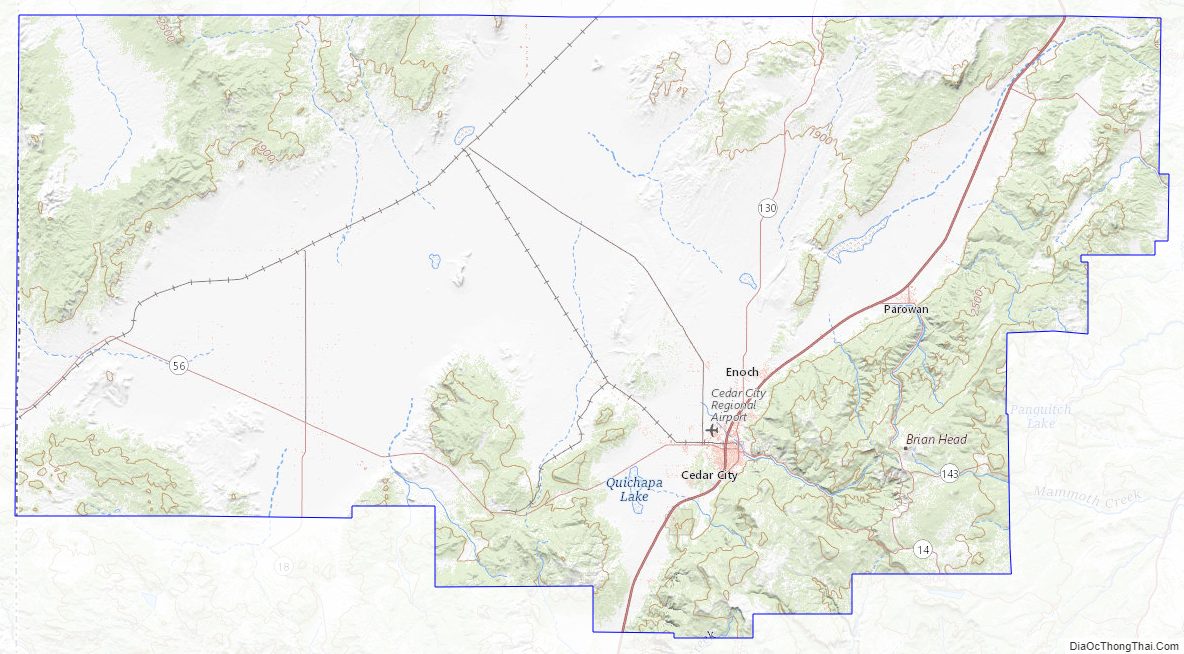
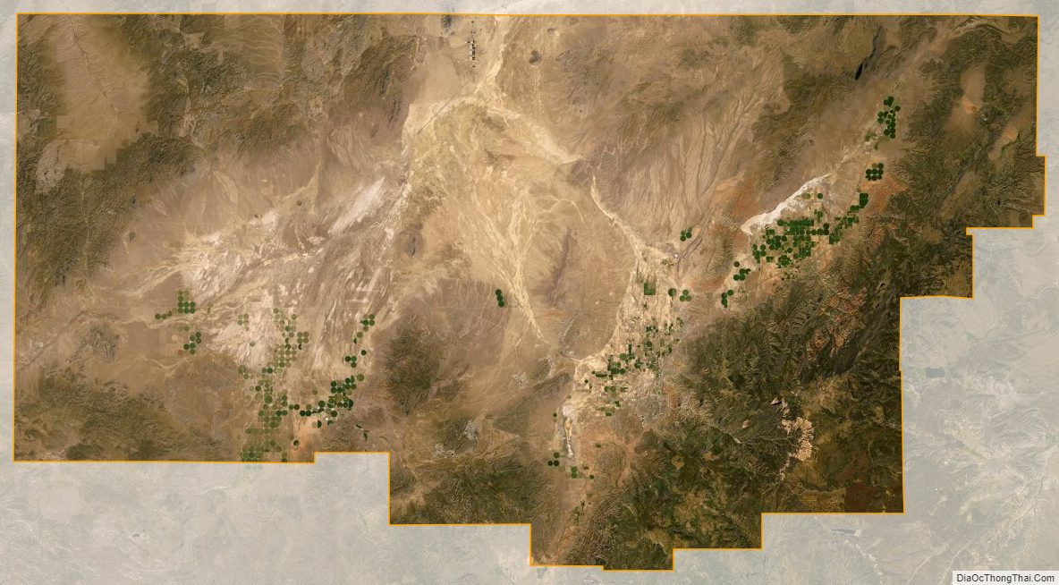
Iron County Satellite Map
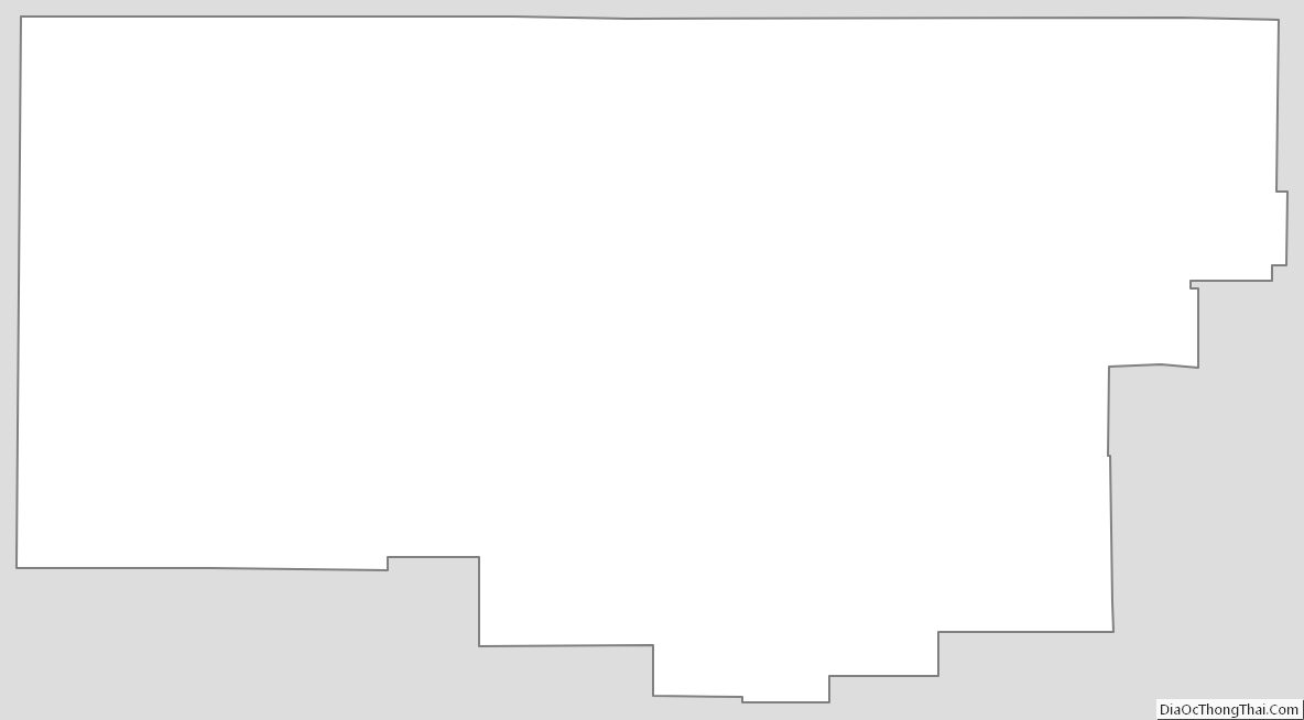
Iron County Outline Map