Cedar City is the largest city in Iron County, Utah, United States. It is located 250 miles (400 km) south of Salt Lake City, and 170 miles (270 km) north of Las Vegas on Interstate 15. It is the home of Southern Utah University, the Utah Shakespeare Festival, the Utah Summer Games, the Simon Fest Theatre Co., and other events. As of the 2020 census the city had a population of 35,235, up from 28,857 in the 2010 census.
| Name: | Cedar City city |
|---|---|
| LSAD Code: | 25 |
| LSAD Description: | city (suffix) |
| State: | Utah |
| County: | Iron County |
| Founded: | November 11, 1851 |
| Incorporated: | February 18, 1868 |
| Elevation: | 5,846 ft (1,782 m) |
| Total Area: | 35.94 sq mi (93.10 km²) |
| Land Area: | 35.86 sq mi (92.89 km²) |
| Water Area: | 0.08 sq mi (0.21 km²) |
| Total Population: | 35,235 |
| Population Density: | 982.57/sq mi (379.32/km²) |
| ZIP code: | 84720-84721 |
| Area code: | 435 |
| FIPS code: | 4911320 |
| GNISfeature ID: | 1426441 |
| Website: | www.cedarcity.org |
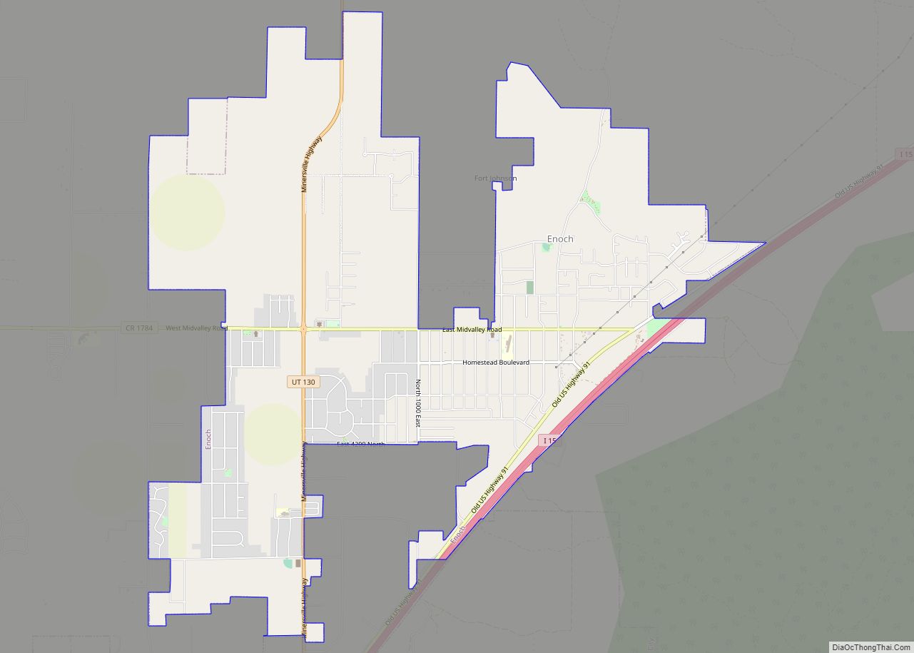
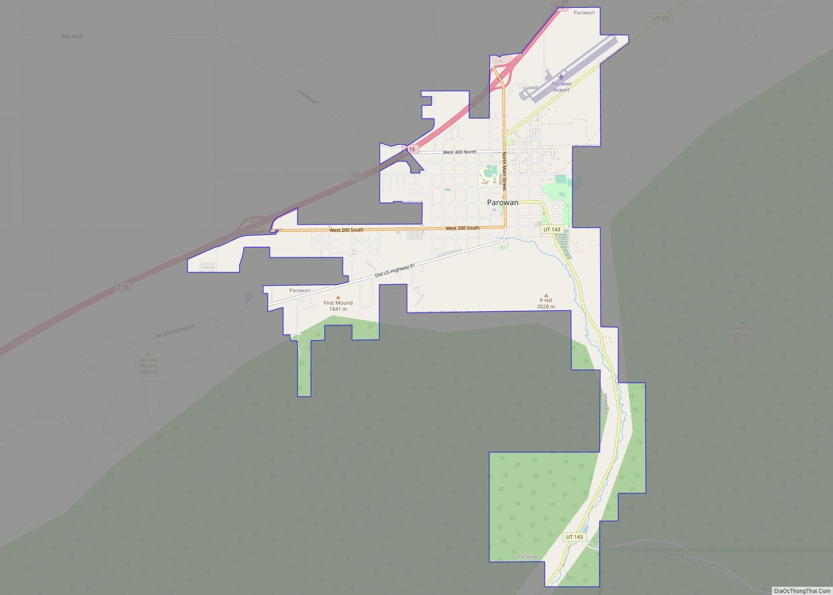
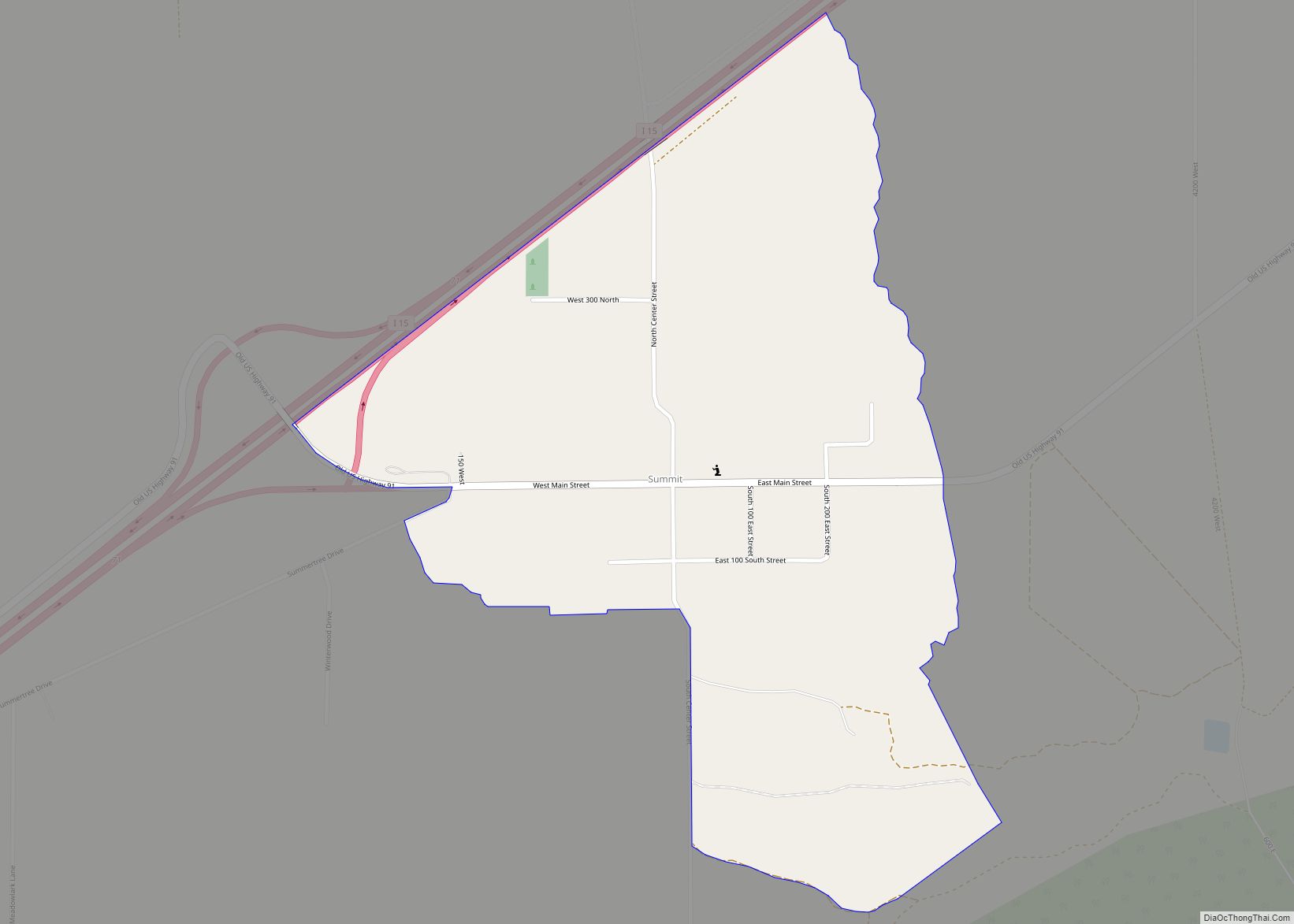
Online Interactive Map
Click on ![]() to view map in "full screen" mode.
to view map in "full screen" mode.
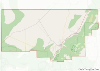
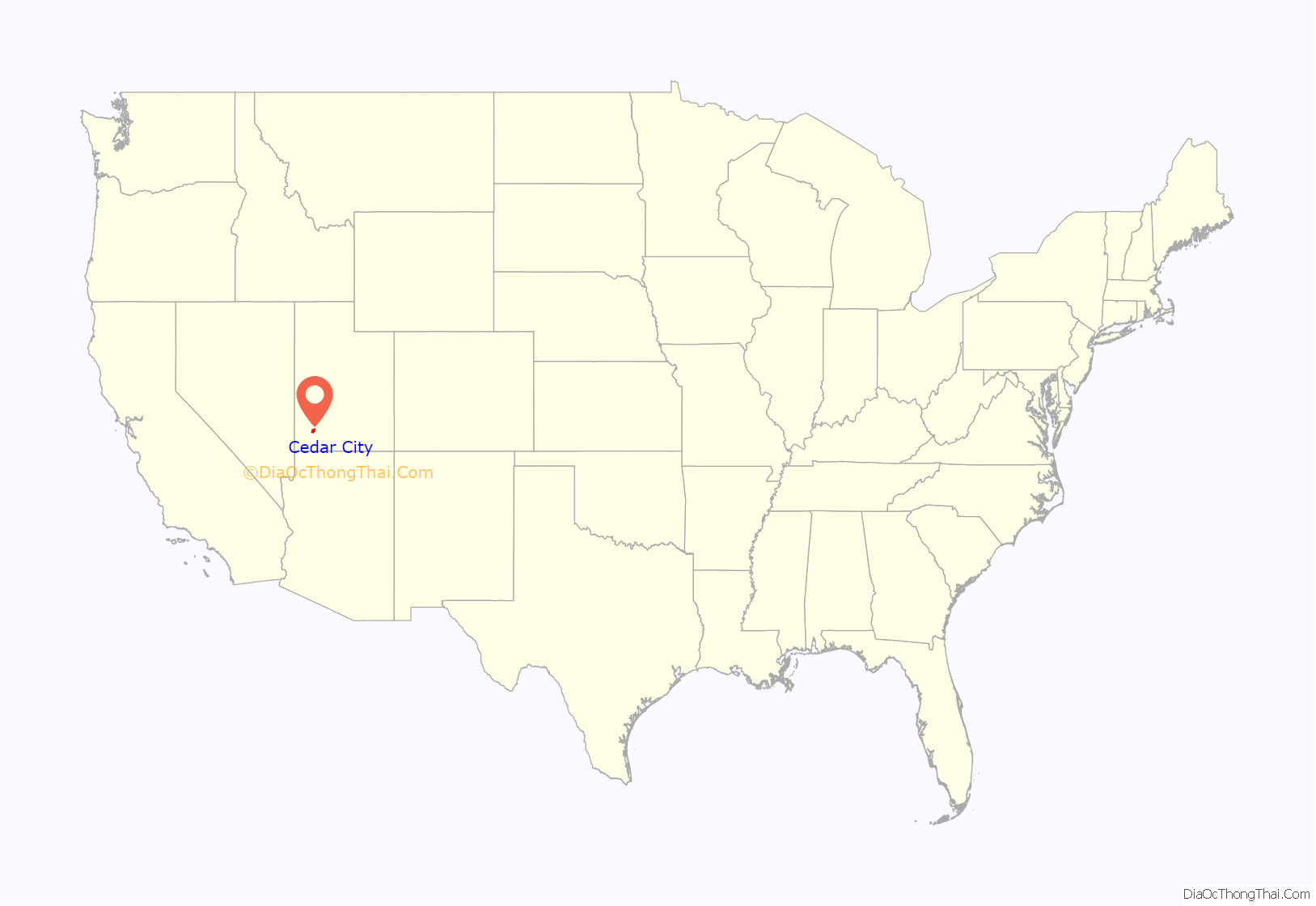
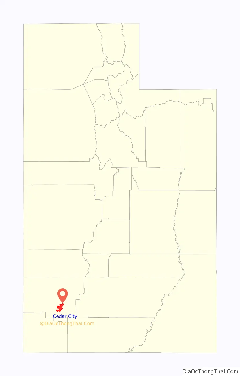
Cedar City location map. Where is Cedar City city?
History
The presence of prehistoric people in the Cedar City area is revealed by rock art found in Parowan Gap to the north and Fremont sites dated to A.D. 1000 and 1300. Ancestors of the present-day Southern Paiute people met the Domínguez–Escalante expedition in this area in 1776. Fifty years later, in 1826, mountain man and fur trader Jedediah Smith traveled through the area, exploring a route from Utah to California.
Cedar City was originally settled in late 1851 by Mormon pioneers originating from Parowan, Utah, who were sent to build an iron works. The site, known as “Fort Cedar” or “Cedar City,” was equidistant from vast iron deposits 10 miles (16 km) west and coal resources 10 miles (16 km) east up Cedar Canyon, but was named after the abundant local trees (which are actually junipers instead of cedar). Two companies of men led by Henry Lunt reached the fort site in a blizzard on November 11, 1851, making that date the official founding. In 1855, a new site, closer to the iron works and out of the flood plain of Coal Creek, was established at the suggestion of Brigham Young. A furnace operated from September 1852 for three years, producing about 25 tons of pig iron, using iron ore deposits located in the Iron Mountain District.
Cedar City was incorporated on February 18, 1868.
The iron works closed in 1858, though mining continued in the area until the 1980s. The completion of a railroad connection to Cedar City in 1923 established the area as a tourism gateway to nearby Bryce Canyon National Park, Zion National Park, Grand Canyon National Park, and Cedar Breaks National Monument. Cedar City continues to be a center of tourism, commercial development, education, and the arts in southwestern Utah.
The city has shared in the rapid growth of much of southwestern Utah since the late 1980s.
In 2017 the Cedar City Utah Temple was dedicated.
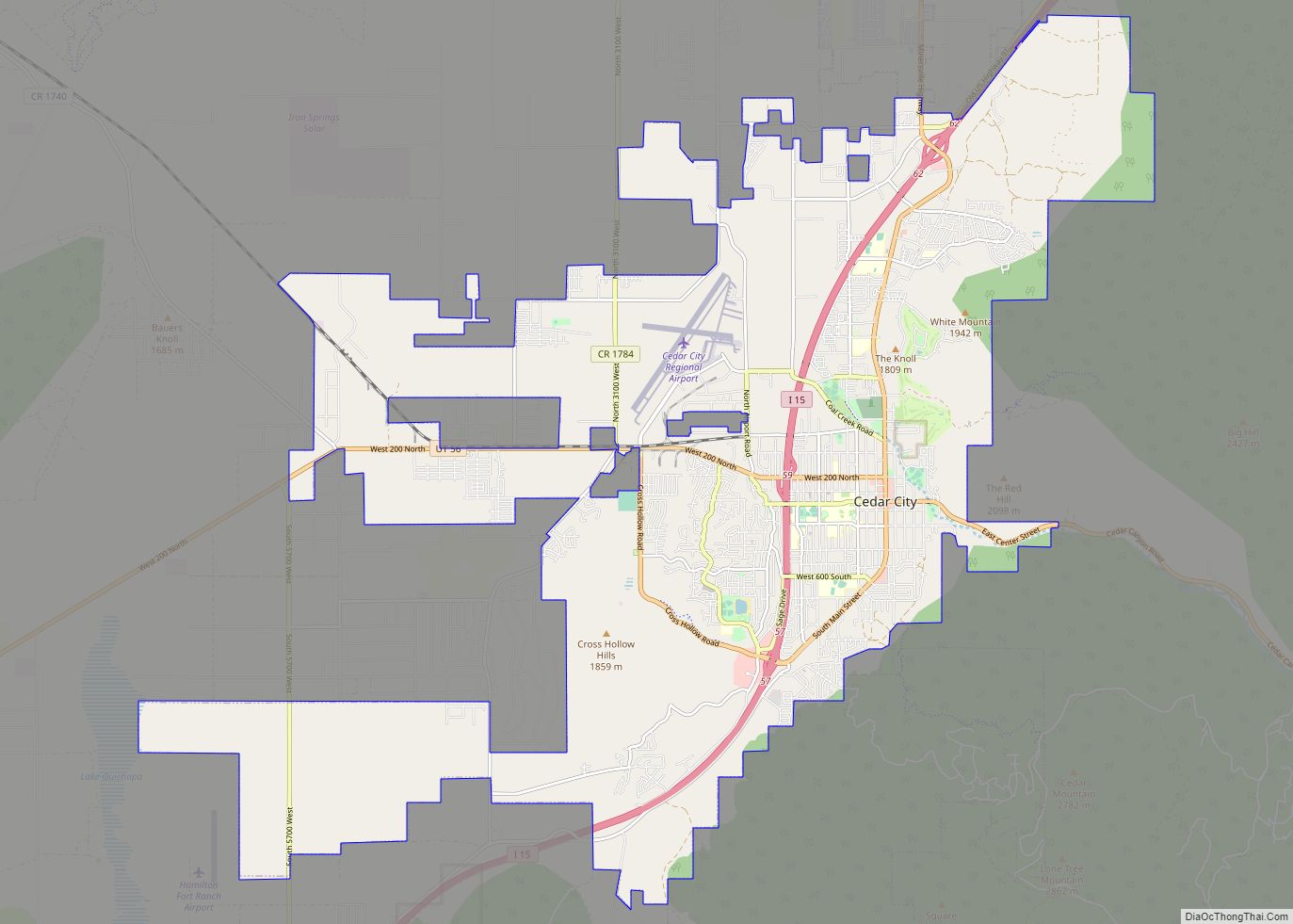
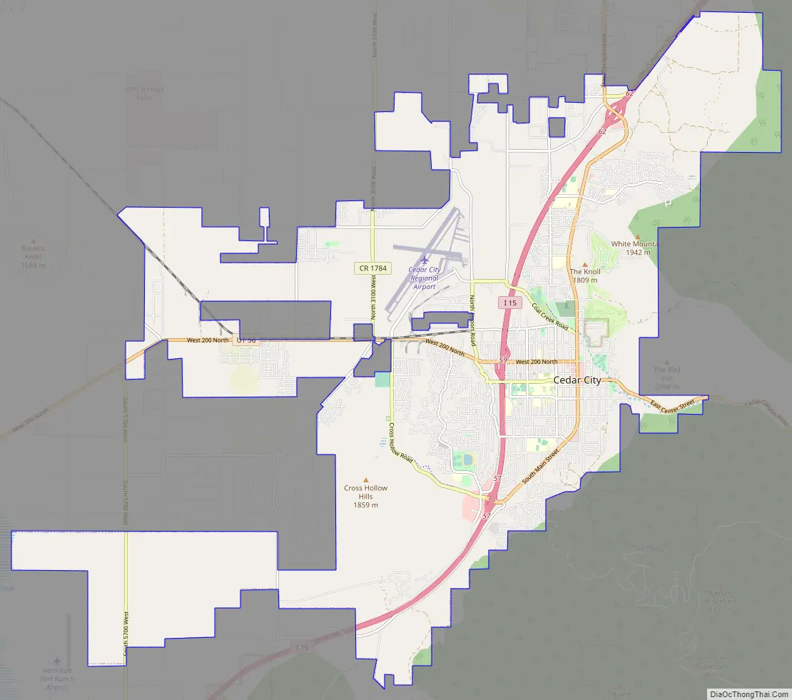
Cedar City Road Map
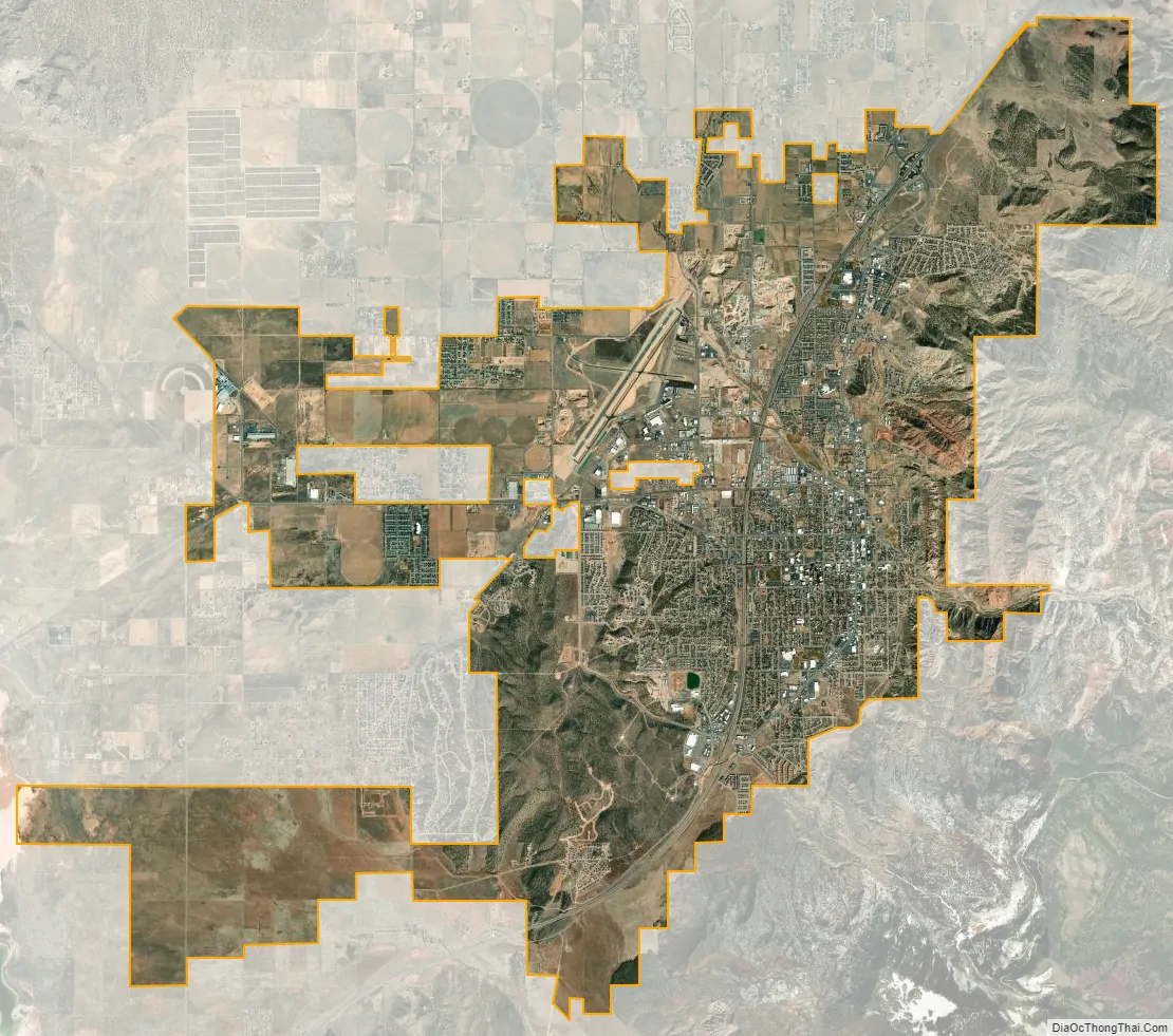
Cedar City city Satellite Map
Geography
Cedar City is located in the southeast Great Basin and is approximately 20 miles (32 km) north of the northeastern edge of the Mojave Desert. Its elevation of 5,846 feet (1,782 m) gives it a somewhat cooler climate compared to the nearby St. George region, though it retains cultural ties to the city —for example, they share a daily newspaper.
According to the United States Census Bureau, the city has a total area of 20.1 square miles (52 km), all land. In some of the older neighborhoods in the city, an irrigation system is utilized by many residents for their lawns and gardens, as “water is diverted from a natural stream (Coal Creek) into a series of canals and ditches for residential flood irrigation.”
The city is located on the western edge of the Markagunt Plateau, in a high desert valley, Cedar Valley, with no ocean drainage. The climate is the typical semi-arid climate (BSk) of the Mountain West, though snowfall can be quite heavy, reaching a historical maximum of 36.9 inches (0.94 m) in January 1949.
See also
Map of Utah State and its subdivision: Map of other states:- Alabama
- Alaska
- Arizona
- Arkansas
- California
- Colorado
- Connecticut
- Delaware
- District of Columbia
- Florida
- Georgia
- Hawaii
- Idaho
- Illinois
- Indiana
- Iowa
- Kansas
- Kentucky
- Louisiana
- Maine
- Maryland
- Massachusetts
- Michigan
- Minnesota
- Mississippi
- Missouri
- Montana
- Nebraska
- Nevada
- New Hampshire
- New Jersey
- New Mexico
- New York
- North Carolina
- North Dakota
- Ohio
- Oklahoma
- Oregon
- Pennsylvania
- Rhode Island
- South Carolina
- South Dakota
- Tennessee
- Texas
- Utah
- Vermont
- Virginia
- Washington
- West Virginia
- Wisconsin
- Wyoming