Jackson County is a county located in the U.S. state of Iowa. As of the 2020 census, the population was 19,485. The county seat is Maquoketa.
| Name: | Jackson County |
|---|---|
| FIPS code: | 19-097 |
| State: | Iowa |
| Founded: | December 21, 1837 |
| Named for: | Andrew Jackson |
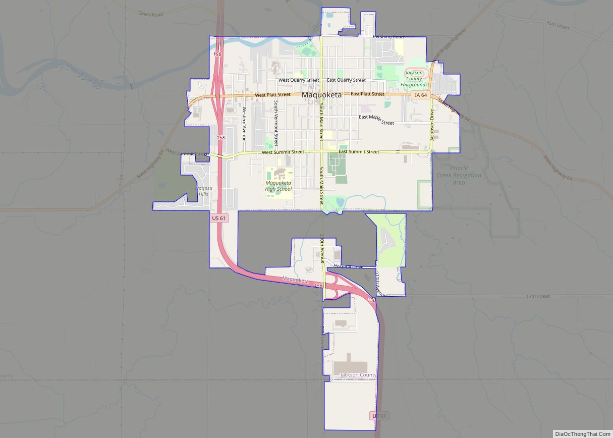
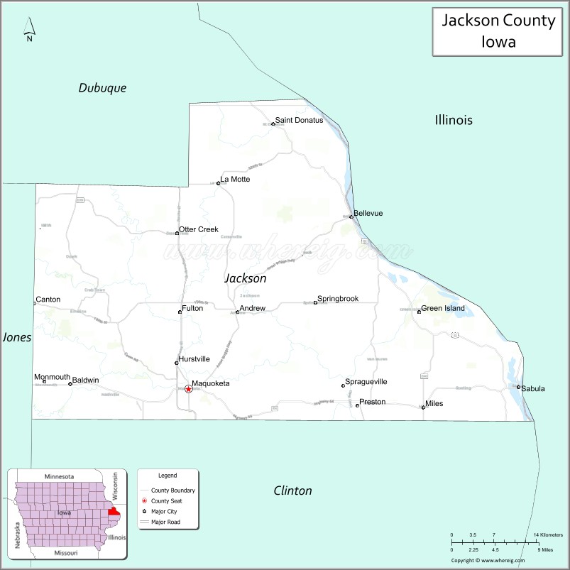
| Seat: | Maquoketa |
| Largest city: | Maquoketa |
| Total Area: | 650 sq mi (1,700 km²) |
| Land Area: | 584 sq mi (1,510 km²) |
| Total Population: | 19,485 |
| Population Density: | 30/sq mi (12/km²) |
| Time zone: | UTC−6 (Central) |
| Summer Time Zone (DST): | UTC−5 (CDT) |
| Website: | jacksoncounty.iowa.gov |
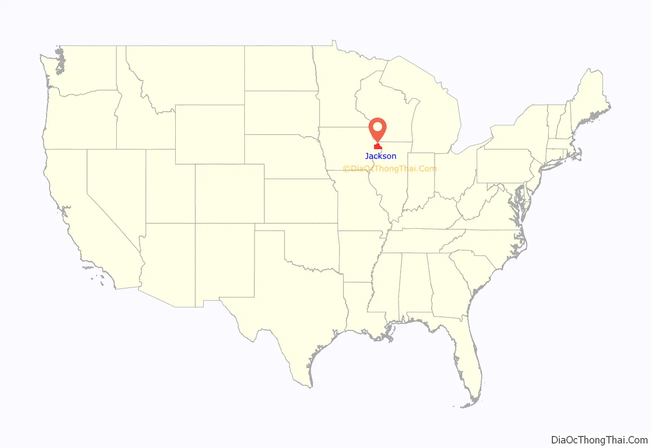
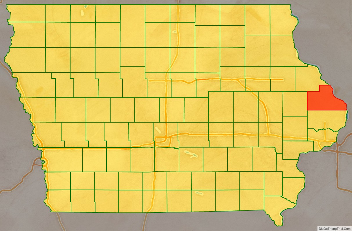
Jackson County location map. Where is Jackson County?
History
The county was formed on December 21, 1837, and named after US President Andrew Jackson.
In the early morning of July 22, 2022, an assailant killed three members of a family at the campground of Maquoketa Caves State Park, located in the county. The assailant, identified as 23-year-old Anthony Sherwin of Nebraska, later committed suicide.
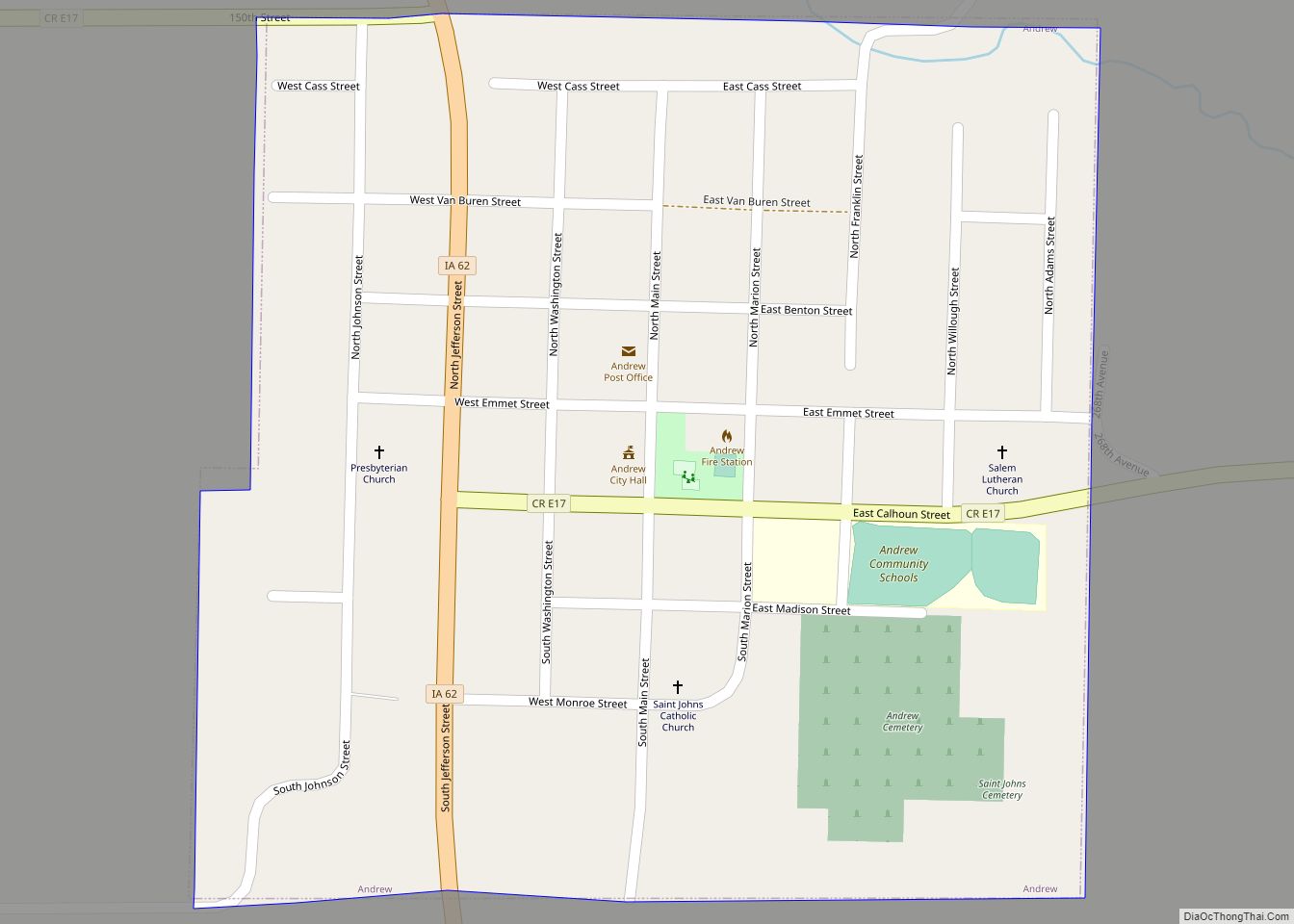
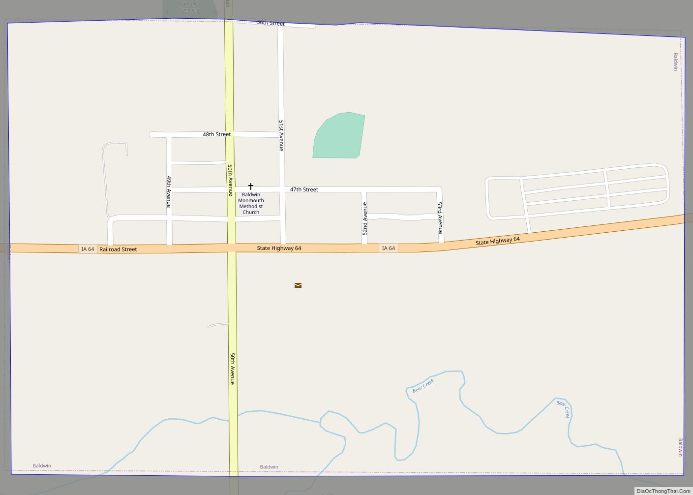
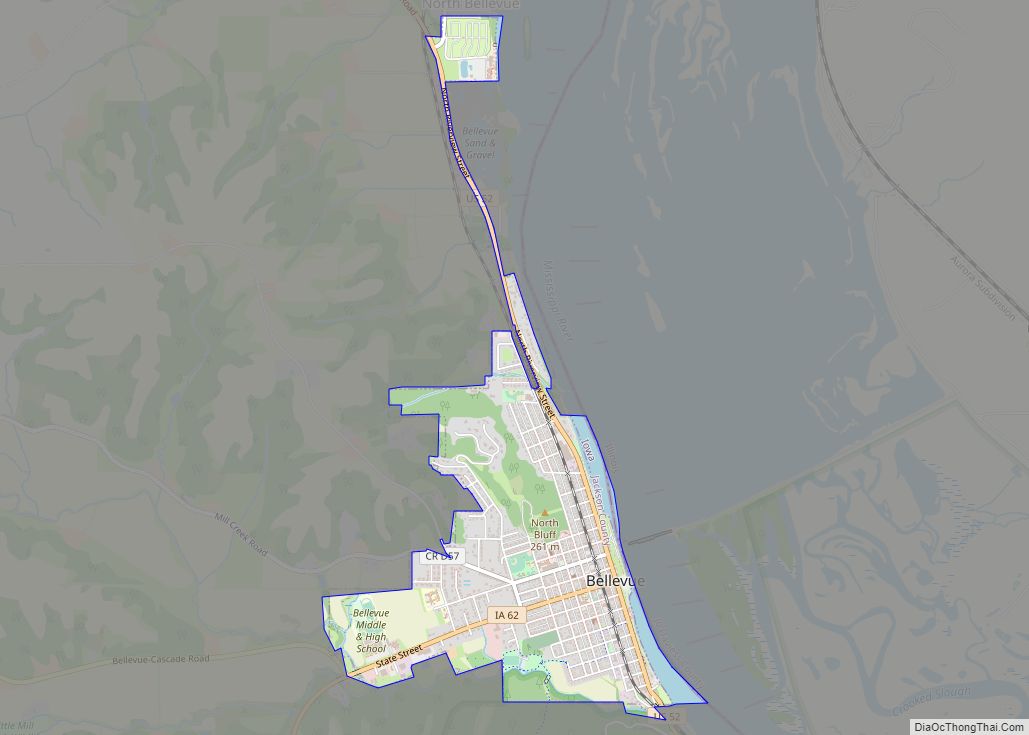
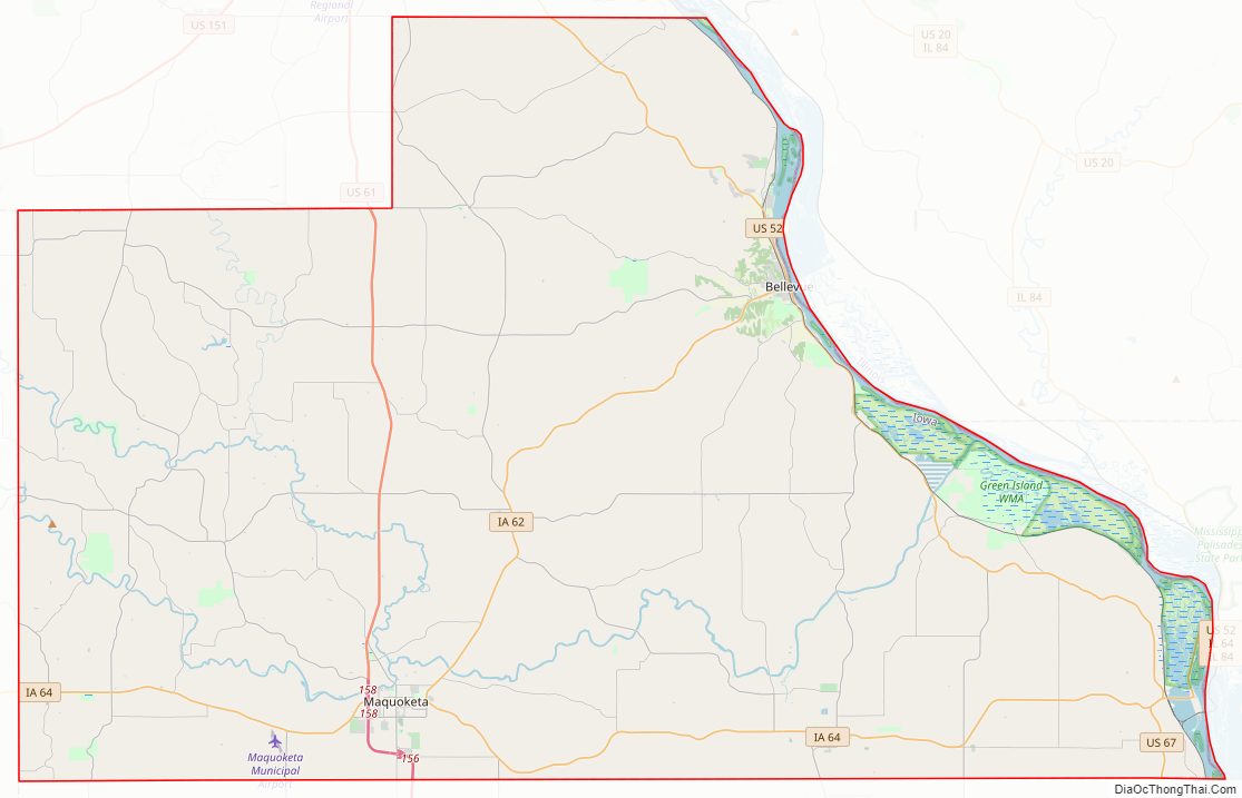
Jackson County Road Map
Geography
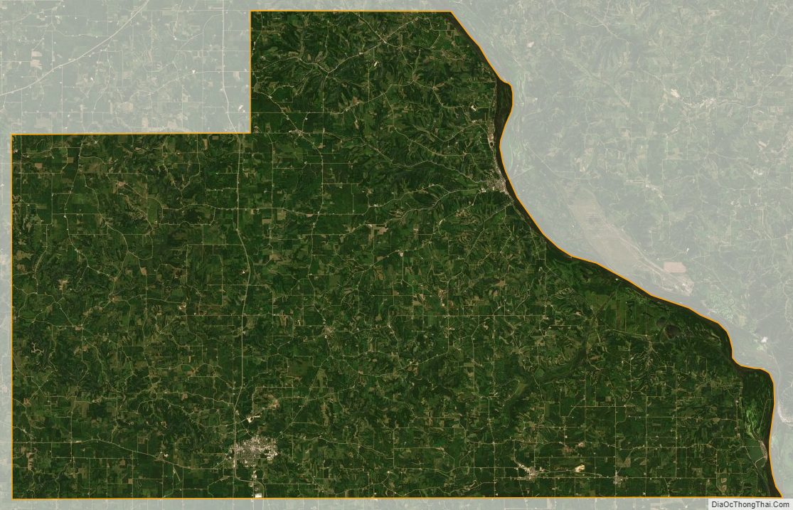
According to the U.S. Census Bureau, the county has a total area of 650 square miles (1,700 km), of which 636 square miles (1,650 km) is land and 14 square miles (36 km) (2.1%) is water. Its eastern border is formed by the Mississippi River.
Major highways
- U.S. Highway 52
- U.S. Highway 61
- U.S. Highway 67
- Iowa Highway 62
- Iowa Highway 64
Adjacent counties
- Dubuque County (north)
- Jo Daviess County, Illinois (northeast)
- Carroll County, Illinois (east)
- Clinton County (south)
- Jones County (west)
National protected areas
- Driftless Area National Wildlife Refuge (part)
- Upper Mississippi River National Wildlife and Fish Refuge (part)
State protected areas
- Maquoketa Caves State Park
- Bellevue State Park
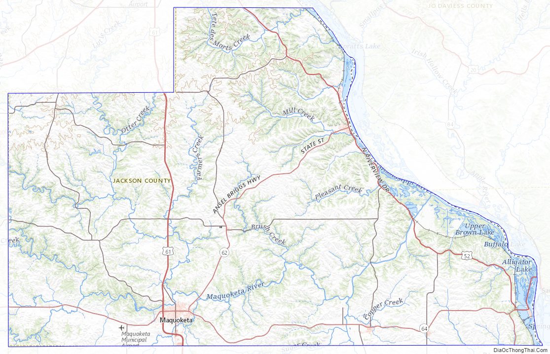
Jackson County Topographic Map
Jackson County Satellite Map
Jackson County Outline Map