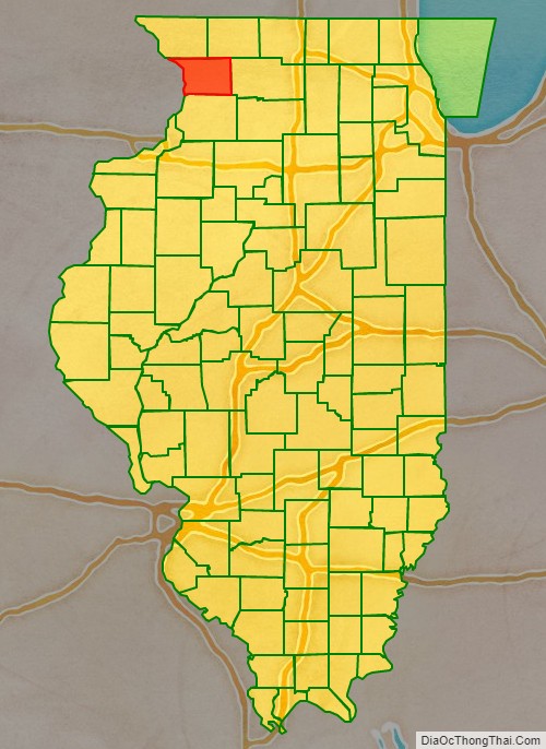
Carroll County is a county located in the U.S. state of Illinois. As of the 2010 census, the population was 15,387. Its county seat is Mount Carroll.
| Name: | Carroll County |
|---|---|
| FIPS code: | 17-015 |
| State: | Illinois |
| Founded: | 1839 |
| Named for: | Charles Carroll |
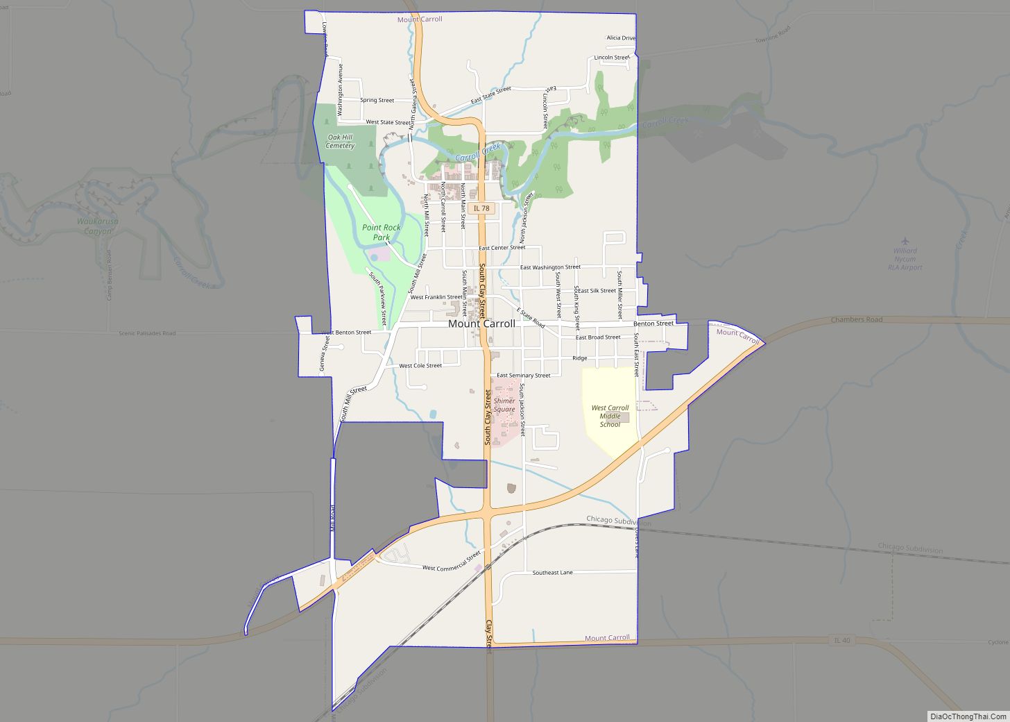
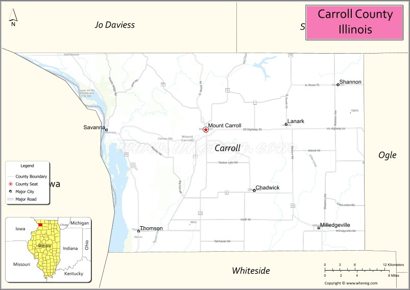
| Seat: | Mount Carroll |
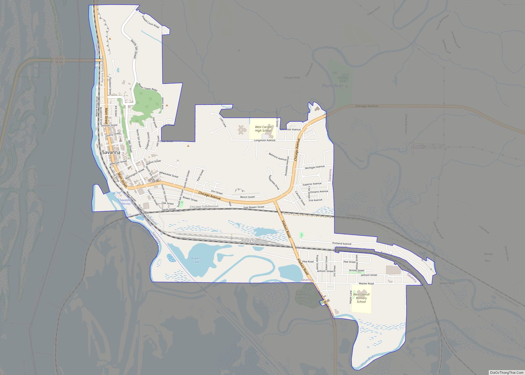
| Largest city: | Savanna |
| Total Area: | 466 sq mi (1,210 km²) |
| Land Area: | 445 sq mi (1,150 km²) |
| Total Population: | 15,387 |
| Population Density: | 33/sq mi (13/km²) |
| Time zone: | UTC−6 (Central) |
| Summer Time Zone (DST): | UTC−5 (CDT) |
| Website: | www.carroll-county.net |
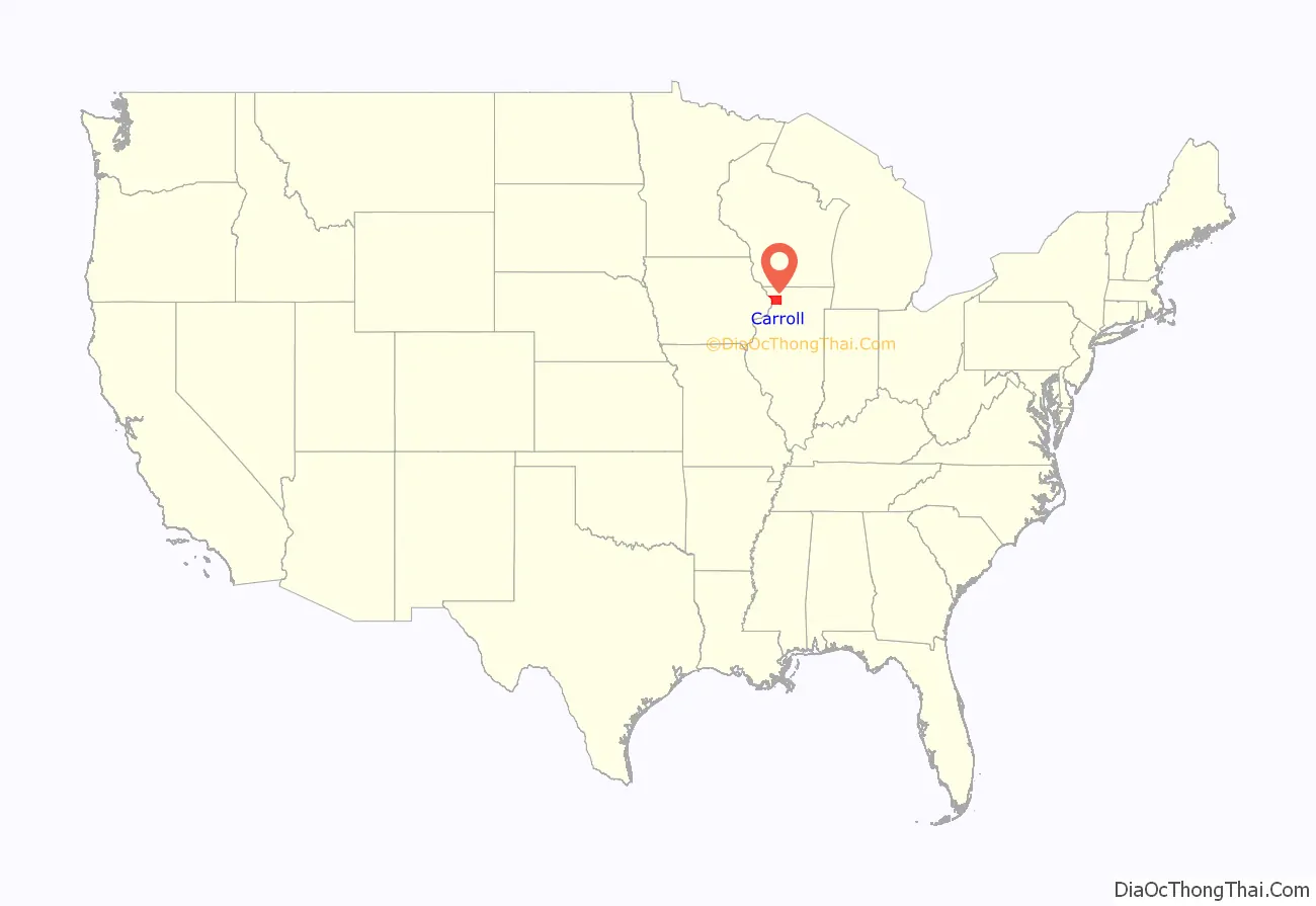
Carroll County location map. Where is Carroll County?
History
Carroll County was formed in 1839 out of Jo Daviess County. The county is named for Charles Carroll who signed the Declaration of Independence. Carroll, who died in 1832, was the last signer to die.
Carroll County at the time of its creation in 1839
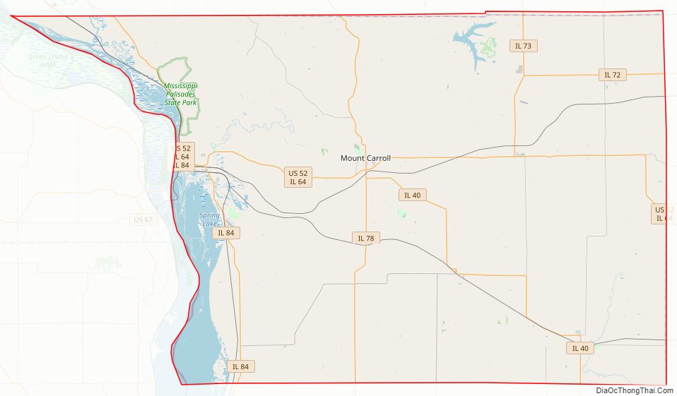
Carroll County Road Map
Geography
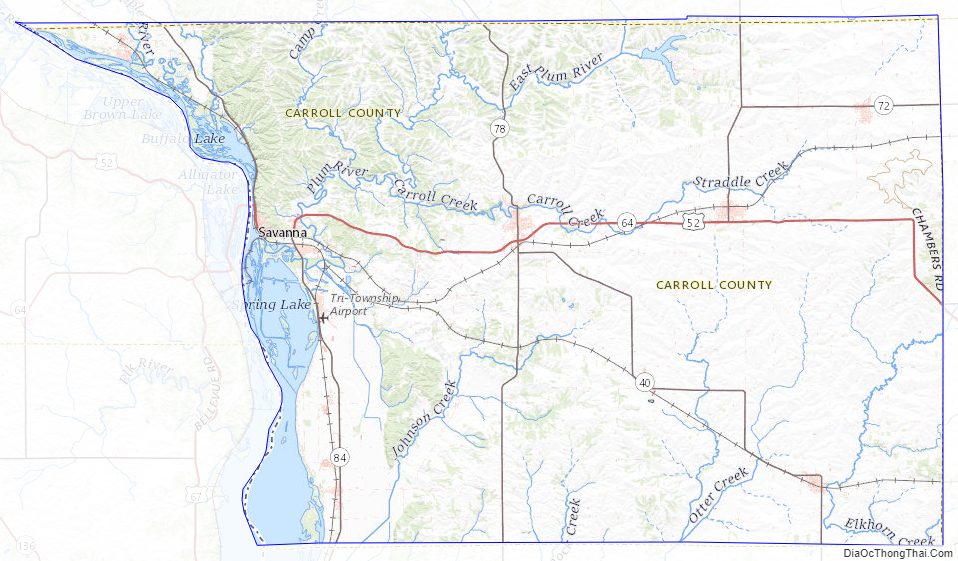
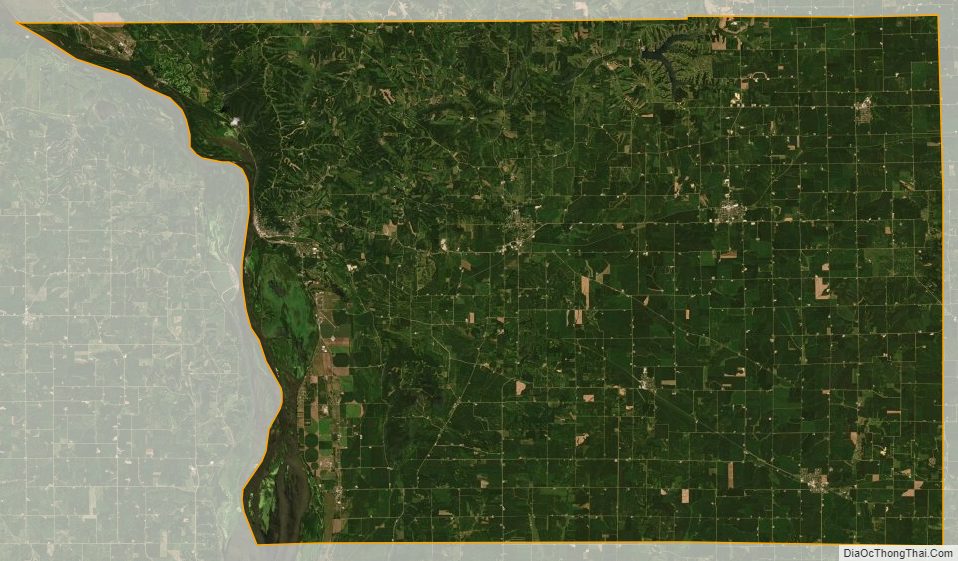
According to the U.S. Census Bureau, the county has a total area of 466 square miles (1,210 km), of which 445 square miles (1,150 km) is land and 22 square miles (57 km) (4.6%) is water. The Mississippi Palisades State Park is in this county, just north of the city of Savanna. The Savanna Army Depot is located partly in this county.
Adjacent counties
- Stephenson County – northeast
- Ogle County – east
- Whiteside County – south
- Clinton County, Iowa – southwest
- Jackson County, Iowa – west
- Jo Daviess County – northwest
National protected area
- Upper Mississippi River National Wildlife and Fish Refuge (part)
Major highways
- US Route 52
- Illinois Route 40
- Illinois Route 64
- Illinois Route 72
- Illinois Route 73
- Illinois Route 78
- Illinois Route 84
Carroll County Topographic Map
Carroll County Satellite Map
Carroll County Outline Map