Dubuque County is a county located in the U.S. state of Iowa. As of the 2020 census, the population was 99,266, making it the eighth-most populous county in Iowa. The county seat is Dubuque. The county is named for Julien Dubuque, the first European settler of Iowa.
Dubuque County comprises the Dubuque, IA Metropolitan Statistical Area.
| Name: | Dubuque County |
|---|---|
| FIPS code: | 19-061 |
| State: | Iowa |
| Founded: | 1834 |
| Named for: | Julien Dubuque |
| Seat: | Dubuque |
| Largest city: | Dubuque |
| Total Area: | 617 sq mi (1,600 km²) |
| Land Area: | 608 sq mi (1,570 km²) |
| Total Population: | 99,266 |
| Population Density: | 160/sq mi (62/km²) |
| Time zone: | UTC−6 (Central) |
| Summer Time Zone (DST): | UTC−5 (CDT) |
| Website: | www.dubuquecountyiowa.gov |
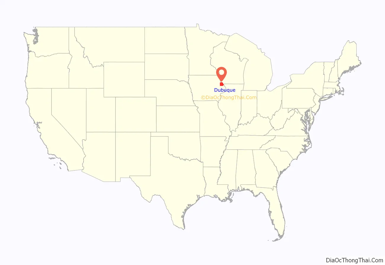
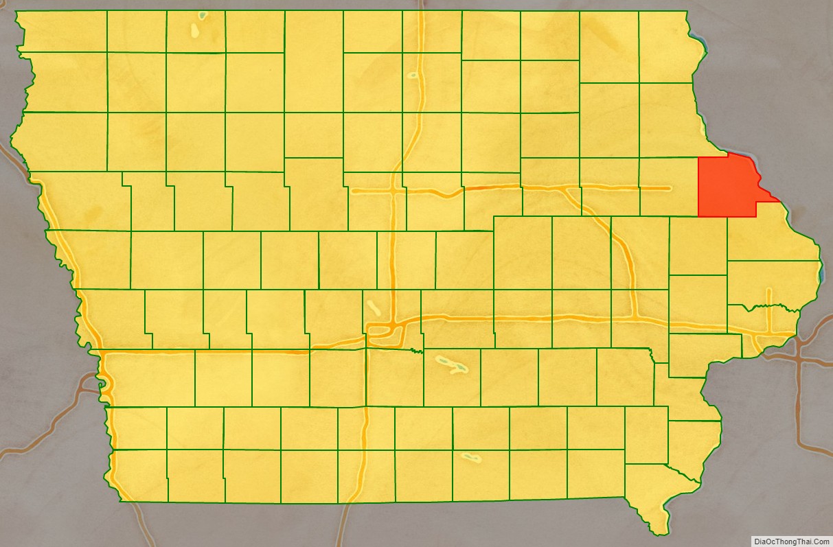
Dubuque County location map. Where is Dubuque County?
History
Early history
Dubuque County is named for French trader Julien Dubuque, the first European settler of Iowa, and an early lead mining pioneer in what is now Dubuque County. Dubuque was French Canadian, and had (by most accounts) a friendly relationship with the local Fox tribe of Native Americans. He and other early pioneers established a lucrative mining and trading industry in the area. When lead deposits began becoming exhausted, the pioneers developed boat building, lumber yards, milling, brewing, and machinery manufacturing to take its place.
The city of Dubuque was chartered in 1833 as the first city in Iowa. The establishment of the City of Dubuque in 1833 led to large-scale settlement of the surrounding area. This was greatly encouraged by the Roman Catholic Church, which sent priests, bishops, and nuns to establish churches in the unpopulated countryside. Primarily, Irish and German (many of whom were Catholic) immigrants came to the region.
At an extra session of the Sixth Legislative Assembly of Michigan Territory held in September, 1834, the Iowa District was divided into two counties by running a line due west from the lower end of Rock Island in the Mississippi River. The territory north of this line (which started just south of the present-day Davenport) was named Dubuque County, and all south of it was Demoine County [sic]. Thus, at that time Dubuque County nominally included not only much of what is now the state of Minnesota but portions of what are now North Dakota and South Dakota.
Dubuque County became part of Wisconsin Territory once it was split off from Michigan Territory on July 3, 1836. A massive reorganization and reduction of the county’s size was executed on December 21, 1837, when its original area was separated into 13 named new counties and a “non-county area”. The land in present day Minnesota and the Dakotas was transferred to the newly created Fayette County in this action. Dubuque County became a part of Iowa Territory upon its creation on July 4, 1838.
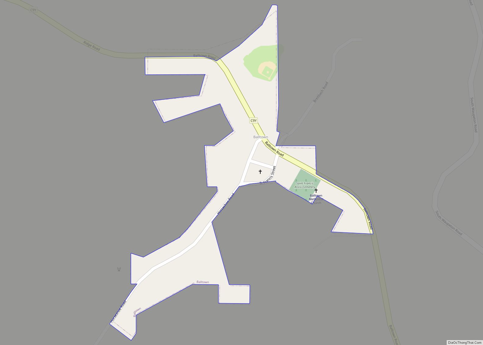
In 1858, Saint Francis Catholic Church was established in Dubuque County.
Middle history
In the 1980s, the farm crisis set in, and devastated large sections of the Midwest, including Dubuque County. Since the area was heavily dependent on agriculture-related industries like Deere and Company and the Dubuque Packing Company, unemployment soared. In one month of 1982, Dubuque County had 23% unemployment, the highest in the nation. The county experienced huge population losses during this time, as workers left the area. It would not fully recover from this until the late 1990s, when the economy diversified, shifting away from manufacturing, and toward various service-related establishments.
Modern history
Since the 1990s, the area has become much more prosperous. Today, the county boasts record employment levels and a growing population. The surging economy can especially be seen in the West Side of the City of Dubuque, and in neighboring Peosta and Asbury. These areas have expanded so much that concerns now lie with trying to manage the growth, a sharp change from just 20 years ago.
It is one of Iowa’s two original counties along with Des Moines County; both were organized by the Michigan Territorial legislature in 1834.
In 2021, the Dubuque County Minutemen baseball team advanced to the American Legion World Series semi-finals, the first team from Iowa to advance that far since Cedar Rapids, IA in 1975.
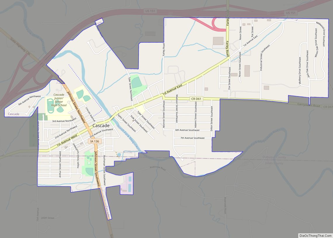
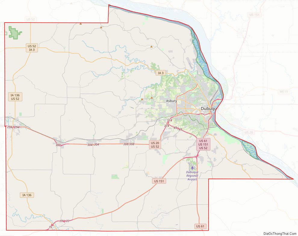
Dubuque County Road Map
Geography
Geographic features
The county borders on Illinois and Wisconsin, and is bounded on the northeast by the Mississippi River. According to the U.S. Census Bureau, the county has a total area of 617 square miles (1,600 km), of which 608 square miles (1,570 km) is land and 8.3 square miles (21 km) (1.4%) is water. The county is drained by north and south forks of the Maquoketa River.
The county seat is Dubuque, Iowa, which is located along the Mississippi River in the east-central portion of the county. Eastern Dubuque County is markedly different from the western portion in that its topography is very uneven. The city of Dubuque and surrounding areas adjacent to the Mississippi River have many steep hills, bluffs, and ravines. Also, the eastern portion is more heavily wooded than the west, which is mostly rolling farmland.
Dubuque County is widely known for its impressive bluffs along the Mississippi River, which run along the entire length of the county’s riverbanks. These form part of Iowa’s Coulee Region, otherwise known as the Driftless Area. During the last ice age, much of the Mississippi Valley near Dubuque County was bypassed by glacial flows, which flattened the surrounding land in eastern Illinois, Wisconsin, and western Iowa, leaving the Driftless Area unusually rugged.
Major parks
The Iowa Department of Natural Resources administers 3 park and preserve areas in the county:
- Little Maquoketa River Mounds State Preserve
- Mines of Spain State Recreation Area/E. B. Lyons Nature Center
- White Pine Hollow State Forest
The Dubuque County Conservation Board administers 11 park and recreation areas in the county:
- Bankston Park
- Fillmore Recreation Area & Fairways
- Finley’s Landing Park
- Heritage Trail & Pond
- Interstate Power Forest Preserve
- Massey Marina Park
- Mud Lake Park
- New Wine Park
- Pohlman Prairie Preserve
- Swiss Valley Nature Park & Preserve
- Whitewater Canyon Park
The City of Dubuque and other towns in the county also operate public park systems of their own. (see Parks in Dubuque, Iowa)
Major highways
- U.S. Highway 20
- U.S. Highway 52
- U.S. Highway 61
- U.S. Highway 151
- Iowa Highway 3
- Iowa Highway 32
- Iowa Highway 136
Transit
- The Jule
- List of intercity bus stops in Iowa
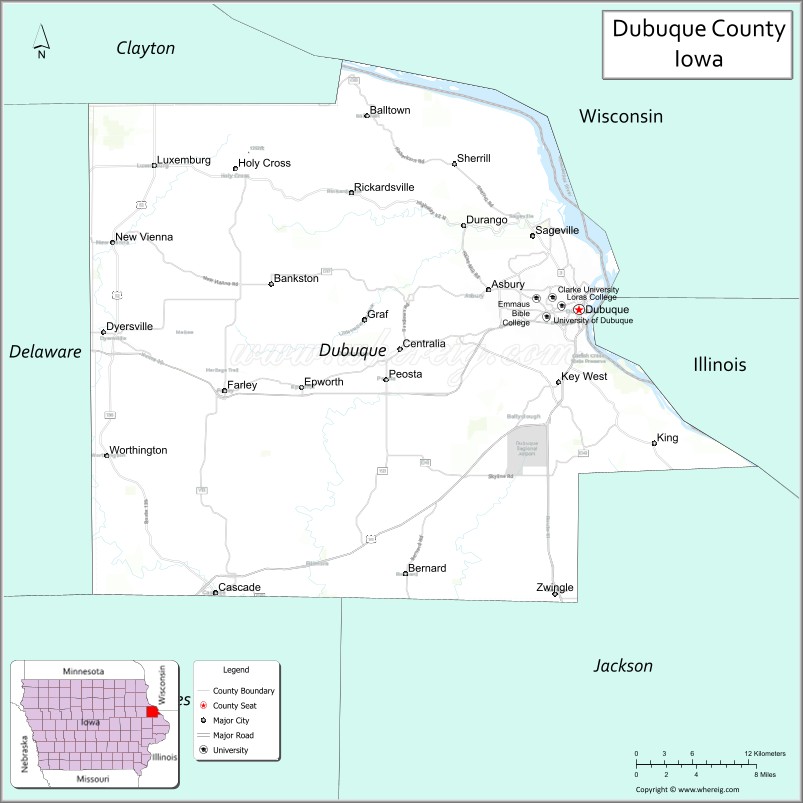
Adjacent counties
- Clayton County (north)
- Grant County, Wisconsin (northeast)
- Jo Daviess County, Illinois (east)
- Jackson County (southeast)
- Jones County (southwest)
- Delaware County (west)
National protected areas
- Driftless Area National Wildlife Refuge (part)
- Upper Mississippi River National Wildlife and Fish Refuge (part)
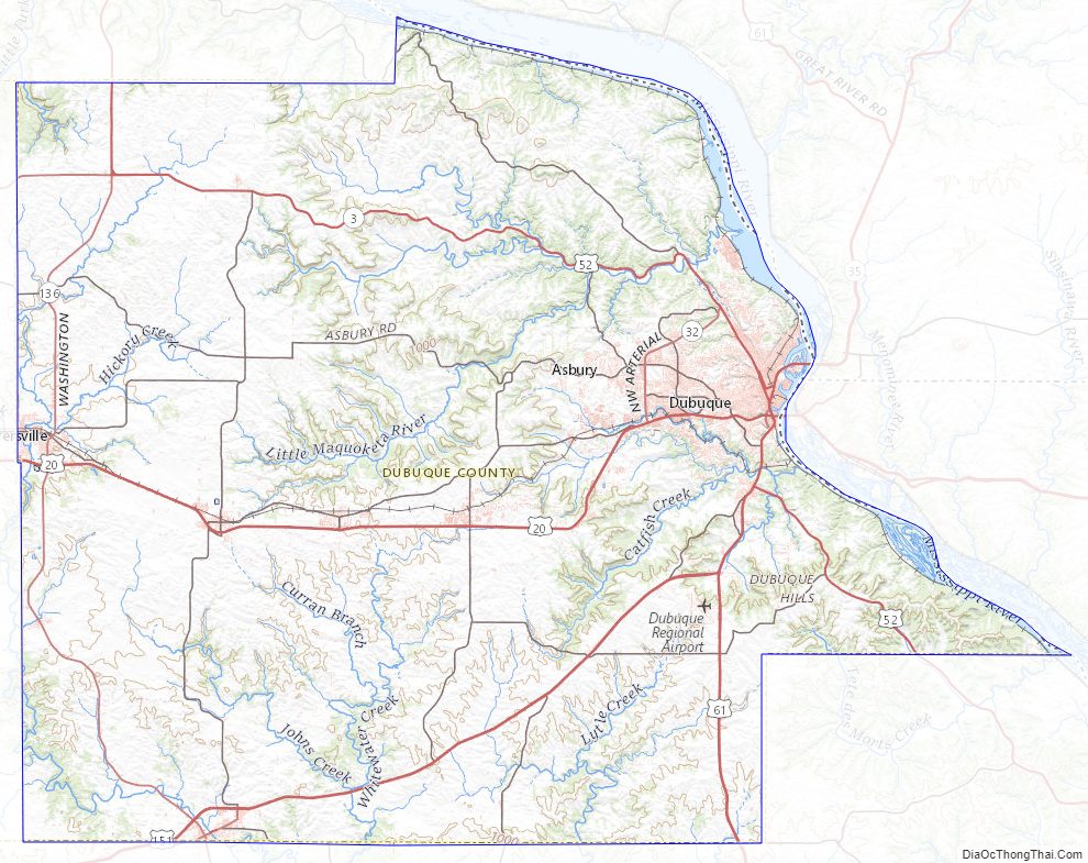
Dubuque County Topographic Map
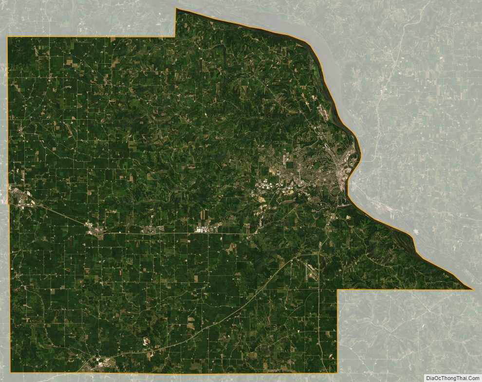
Dubuque County Satellite Map
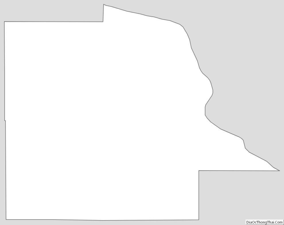
Dubuque County Outline Map