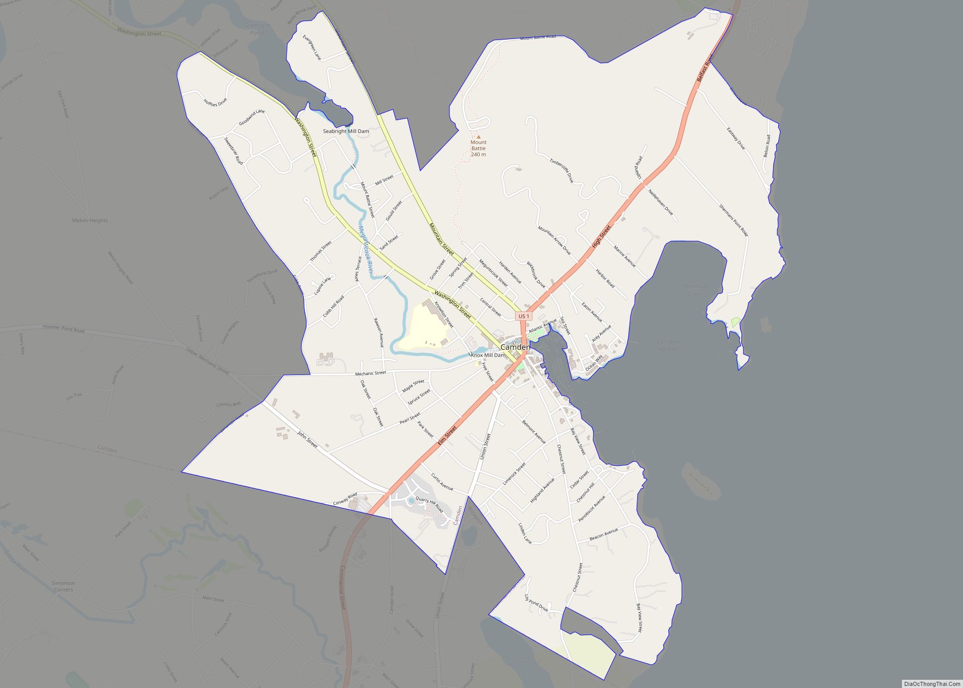
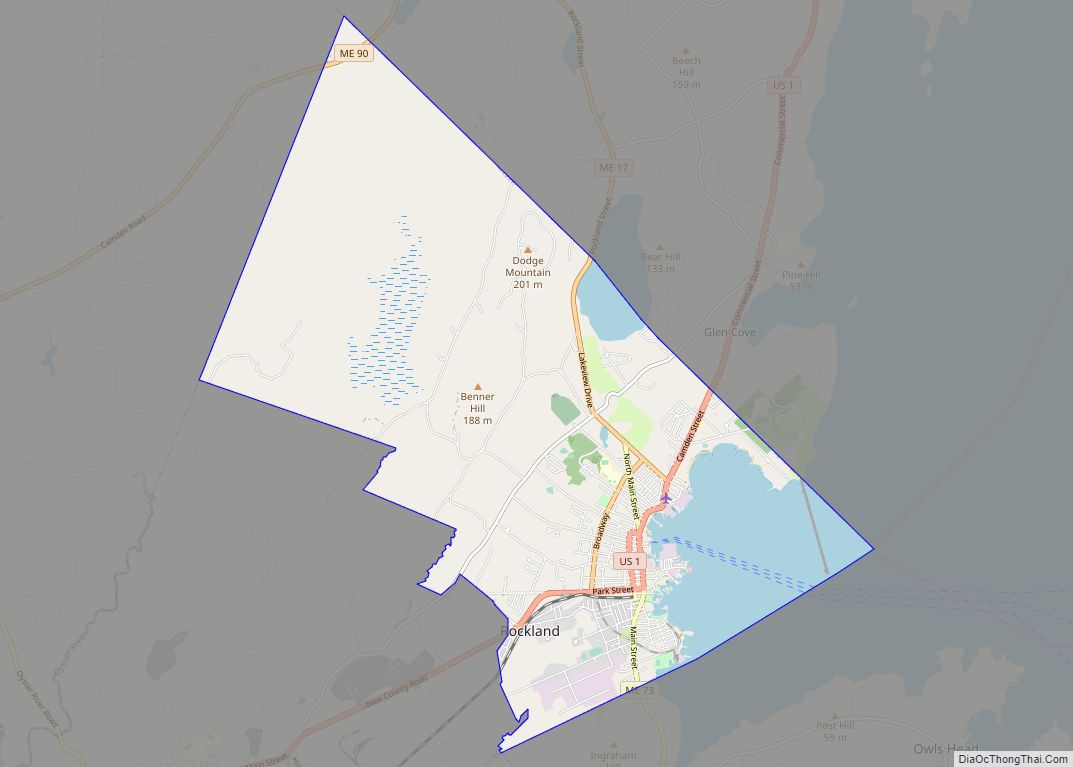
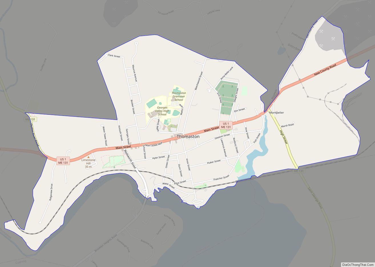
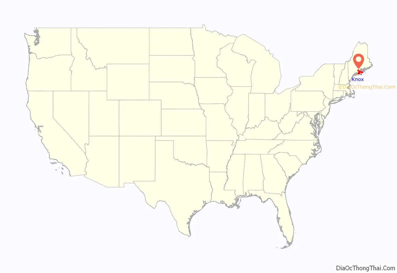
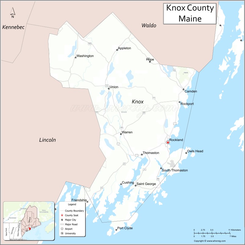
Knox County is a county located in the state of Maine, in the United States. As of the 2020 census, the population was 40,607. Its county seat is Rockland. The county is named for American Revolutionary War general and Secretary of War Henry Knox, who lived in the county from 1795 until his death in 1806. The county was established on April 1, 1860, and is the most recent county to be created in Maine. It was carved from parts of Waldo and Lincoln counties. The Union Fair, started in 1868, began as the efforts of the North Knox Agricultural and Horticultural Society.
| Name: | Knox County |
|---|---|
| FIPS code: | 23-013 |
| State: | Maine |
| Founded: | April 1, 1860 |
| Named for: | Henry Knox |
| Seat: | Rockland |
| Largest city: | Rockland |
| Total Area: | 1,144 sq mi (2,960 km²) |
| Land Area: | 365 sq mi (950 km²) |
| Total Population: | 40,607 |
| Population Density: | 35/sq mi (14/km²) |
| Time zone: | UTC−5 (Eastern) |
| Summer Time Zone (DST): | UTC−4 (EDT) |
| Website: | www.knoxcountymaine.gov |
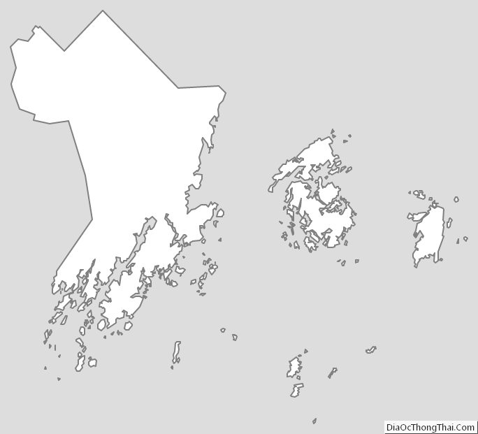
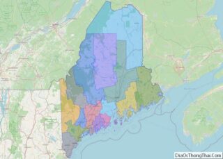
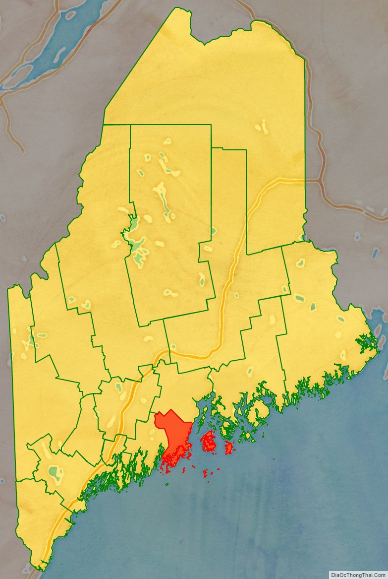
Knox County location map. Where is Knox County?
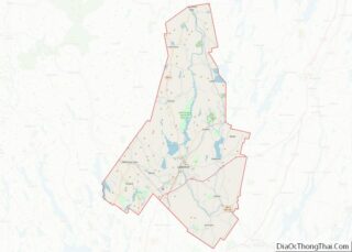
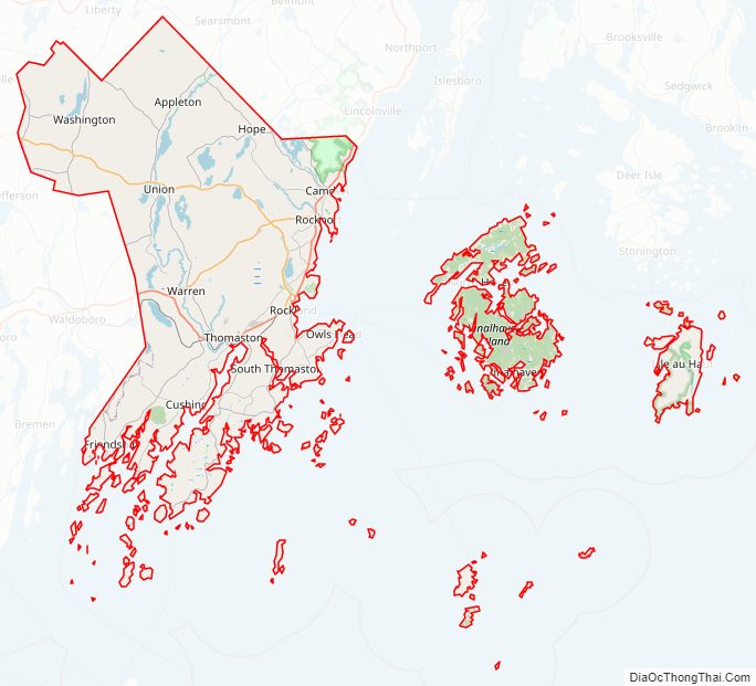
Knox County Road Map
Geography
According to the U.S. Census Bureau, the county has a total area of 1,144 square miles (2,960 km), of which 365 square miles (950 km) is land and 779 square miles (2,020 km) (68%) is water. It is the second-smallest county in Maine by land area. It was originally part of the Waldo Patent.
Adjacent counties
- Lincoln County – west
- Waldo County – north
- Hancock County – northeast
National protected areas
- Franklin Island National Wildlife Refuge
- Seal Island National Wildlife Refuge
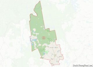
Knox County Topographic Map
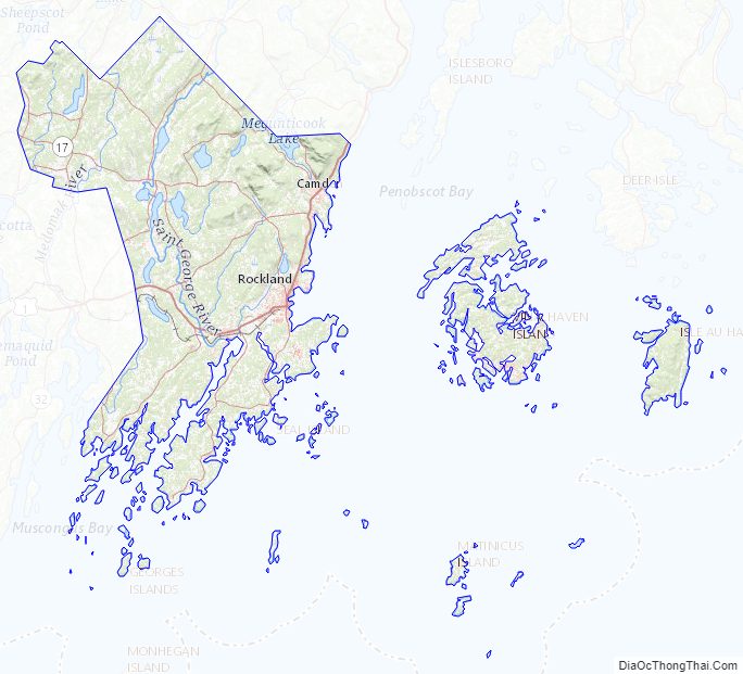
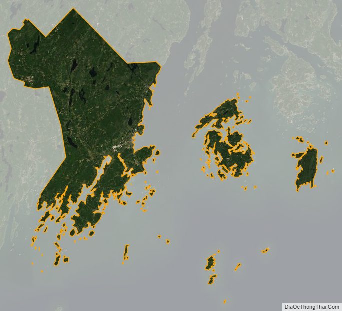
Knox County Satellite Map
Knox County Outline Map