| Name: | Lincoln Parish |
|---|---|
| FIPS code: | 22-061 |
| State: | Louisiana |
| Founded: | 1873 |
| Named for: | Abraham Lincoln |
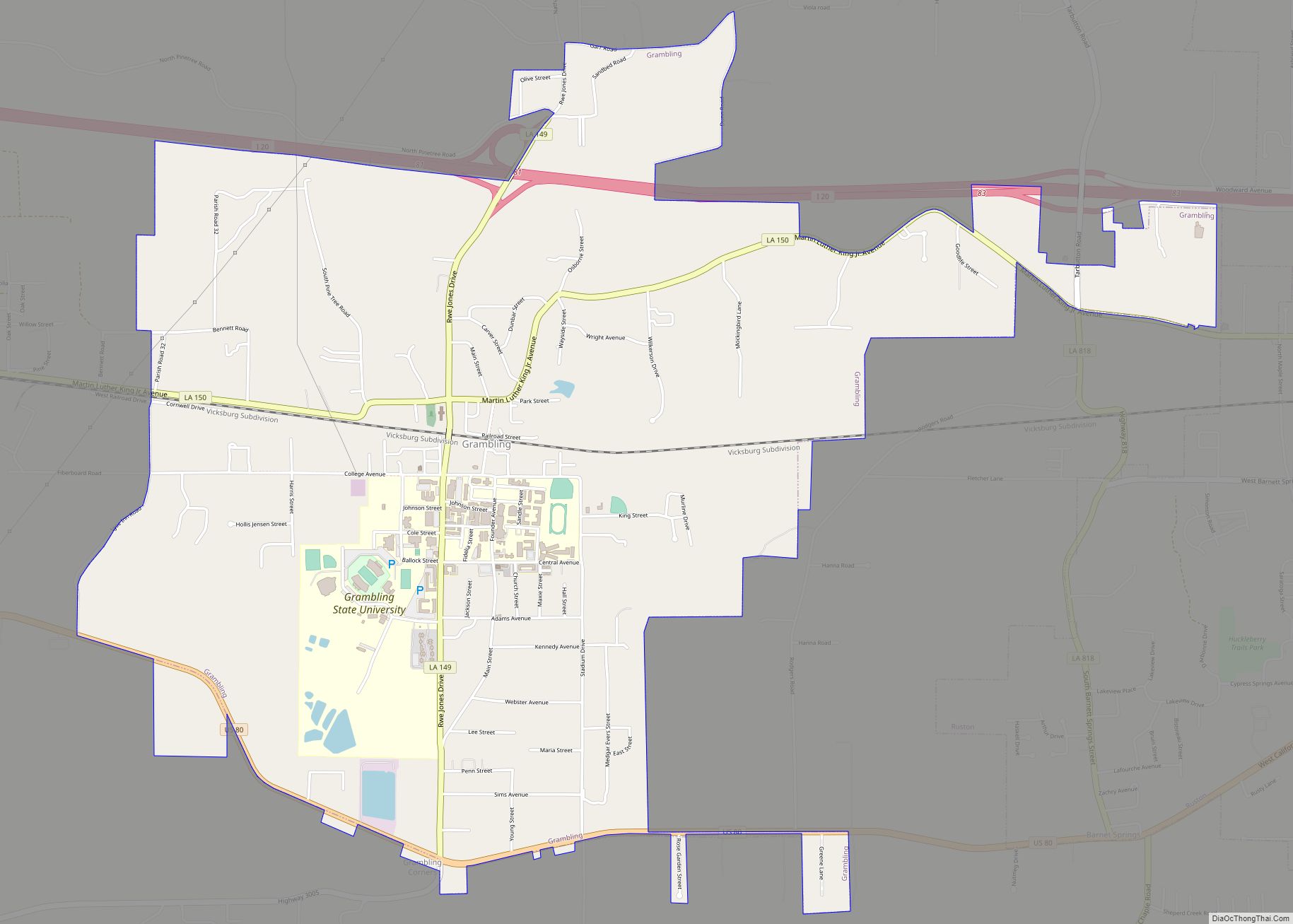
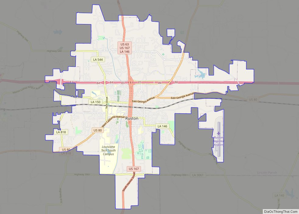
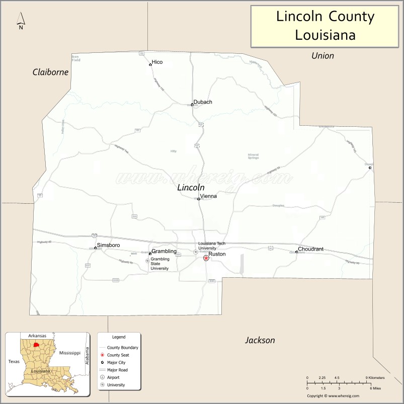
| Seat: | Ruston |
| Total Area: | 1,220 km² (472 sq mi) |
| Land Area: | 1,220 km² (472 sq mi) |
| Total Population: | 48,396 |
| Population Density: | 40/km² (100/sq mi) |
| Time zone: | UTC-6 (CST) |
| Summer Time Zone (DST): | UTC-5 (CDT) |
| Website: | Parish of Lincoln |
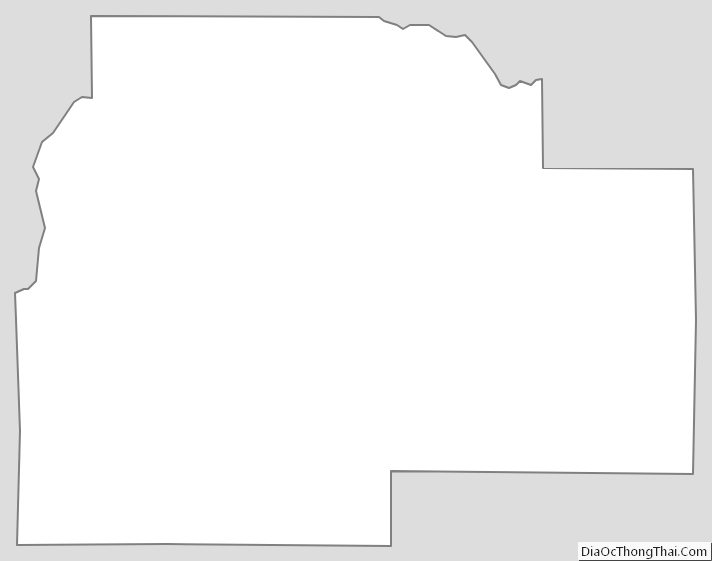
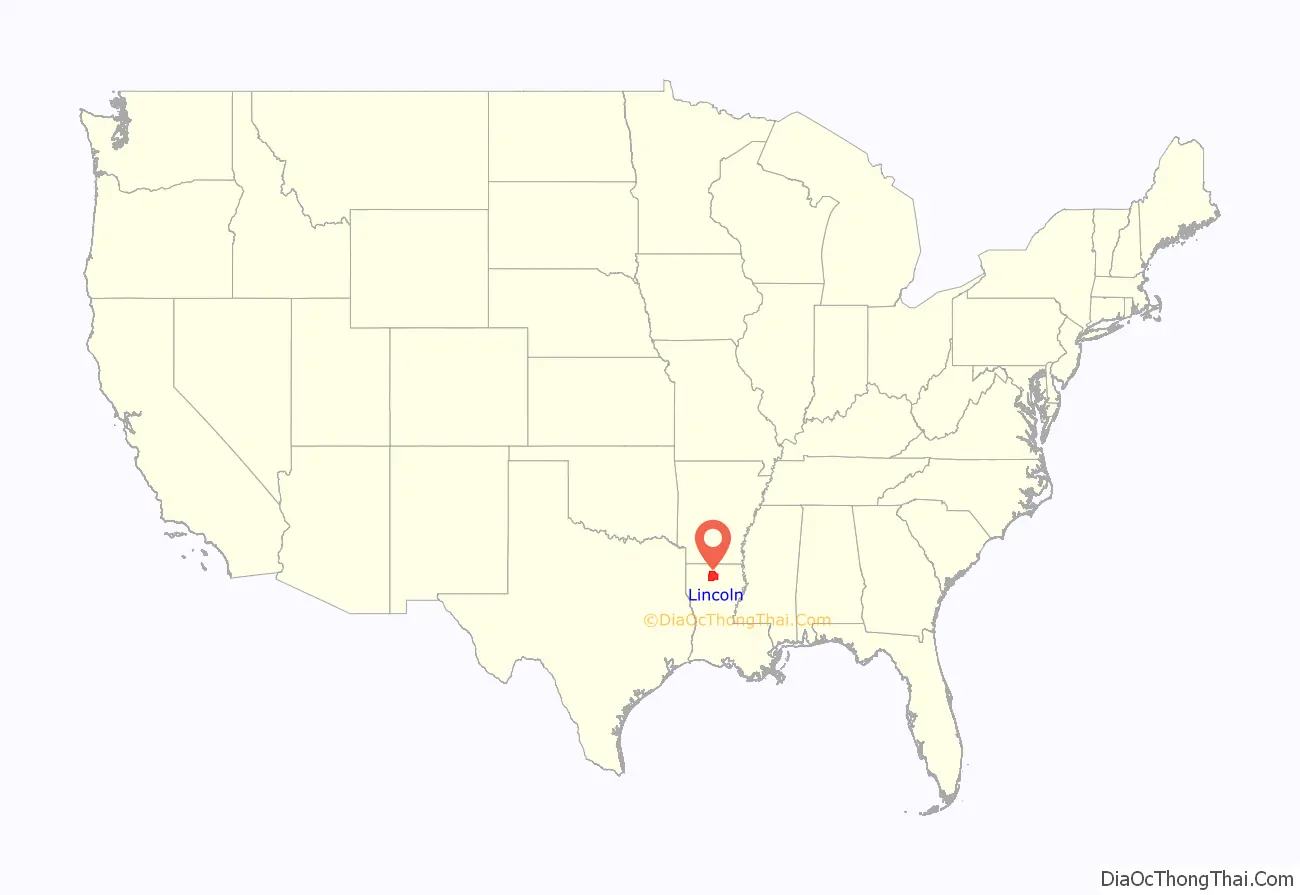
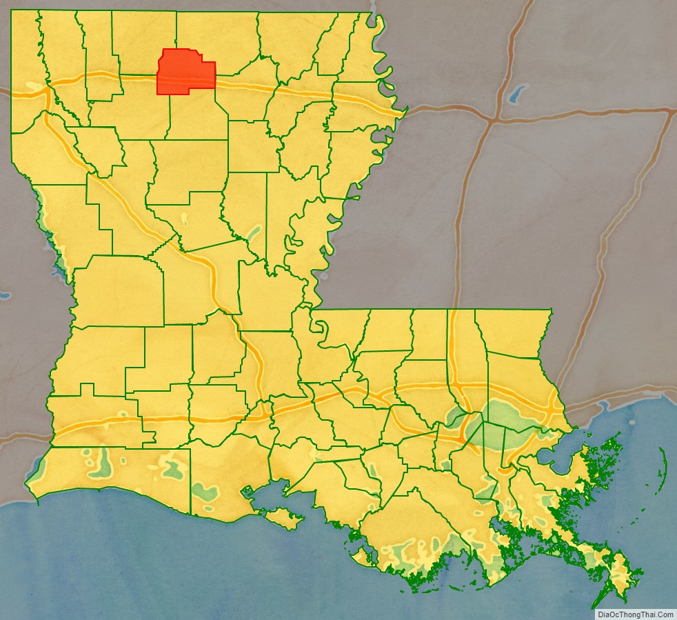
Lincoln Parish location map. Where is Lincoln Parish?
History
Since the late 20th century, archeologists have dated eleven sites in northern Louisiana where thousands of years ago, indigenous cultures built complexes with multiple, monumental earthwork mounds during the Middle Archaic period, long before the development of sedentary, agricultural societies. At sites such as Watson Brake, Frenchman’s Bend, and Caney, generations of hunter-gatherers worked for hundreds of years to build and add to mound complexes. Hedgepeth Site, located in Lincoln Parish, is dated about 5200–4500 BP (about 3300–2600 BCE), from the latter part of this period. Such finds are changing the understanding of early human cultures.
The parish was one of several new ones established by the state legislature during Reconstruction; in 1873 it was formed from land that had belonged to Bienville, Claiborne, Jackson and Union parishes to create one in which newly elected representatives might have more ties to the Republican Party. It was an attempt to break up the old order of political power, and to capitalize on the arrival of the railroad line. The parish is named for the late U.S. president Abraham Lincoln.
In 1934, the historian Robert W. Mondy of Louisiana Tech University in Ruston completed a thesis entitled “A History of Lincoln Parish, Louisiana” as part of the requirements for his Master of Arts degree from the University of Texas at Austin. Another Louisiana Tech faculty member, Robert C. Snyder, was instrumental in the establishment in 1962 of the Lincoln Parish Library. He served as the library board president for many years.
Lincoln Parish is usually Republican in contested elections. In 2012, Republican presidential nominee Mitt Romney won the parish with 10,739 votes (56.5 percent) to U.S. President Barack H. Obama, the Democrat who polled 7,956 ballots (41.9 percent).
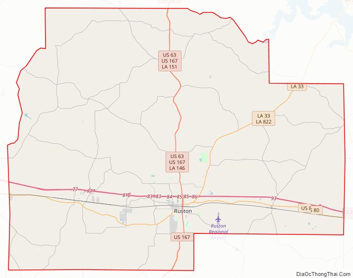
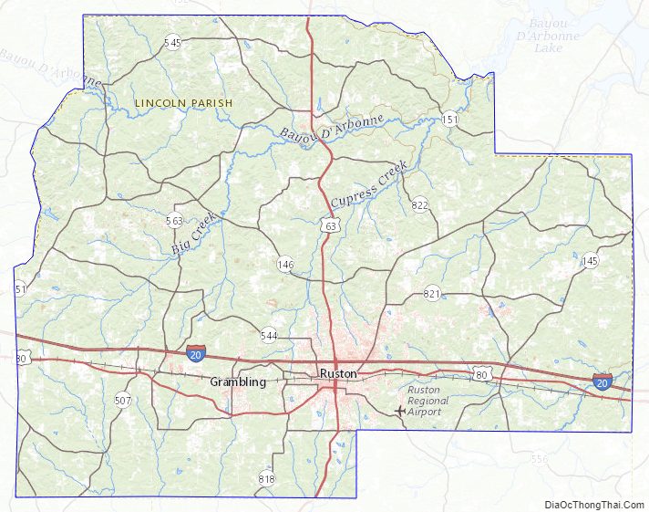
Lincoln Parish Road Map
Geography
According to the U.S. Census Bureau, the parish has a total area of 472 square miles (1,220 km), of which 472 square miles (1,220 km) is land and 0.7 square miles (1.8 km) (0.2%) is water.
Major highways
- Interstate 20
- U.S. Highway 80
- U.S. Highway 167
- Louisiana Highway 33
Adjacent parishes
- Union Parish (north)
- Ouachita Parish (east)
- Jackson Parish (south)
- Bienville Parish (southwest)
- Claiborne Parish (northwest)
Lincoln Parish Topographic Map
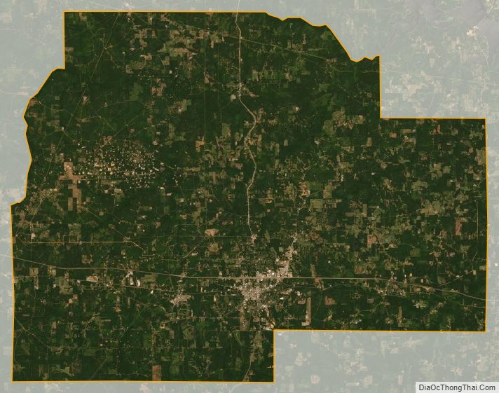
Lincoln Parish Satellite Map
Lincoln Parish Outline Map