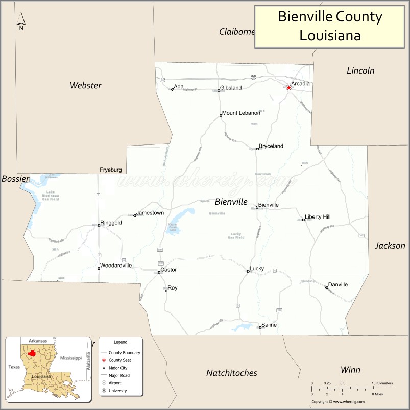
Bienville Parish (French: Paroisse de Bienville, pronounced [paʁwas də bjɛ̃vil]) is a parish located in the northwestern portion of the U.S. state of Louisiana. At the 2020 census, the population was 12,981. The parish seat is Arcadia.
The highest natural point in Louisiana, a hill known as Mt. Driskill, 535 feet (163 m) in elevation, is located in north central Bienville Parish. The mountain is located on private land with public access by walking trail. It is named for James Christopher Driskill, a 19th-century landowner. Nearby is Jordan Mountain, with an elevation of 493 feet (150 m).
| Name: | Bienville Parish |
|---|---|
| FIPS code: | 22-013 |
| State: | Louisiana |
| Founded: | March 14, 1848 |
| Named for: | Jean-Baptiste Le Moyne de Bienville |
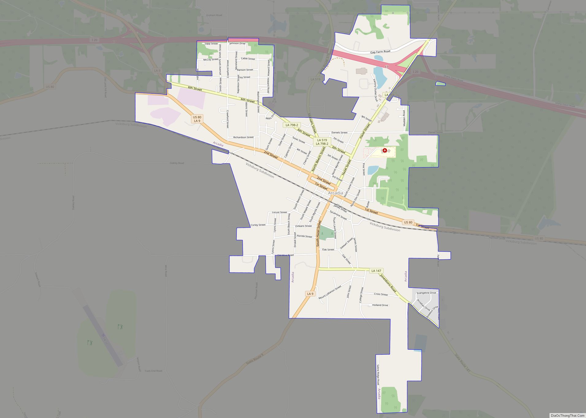
| Seat: | Arcadia |
| Total Area: | 2,130 km² (822 sq mi) |
| Land Area: | 2,100 km² (811 sq mi) |
| Total Population: | 12,981 |
| Population Density: | 6.1/km² (16/sq mi) |
| Time zone: | UTC-6 (CST) |
| Summer Time Zone (DST): | UTC-5 (CDT) |
| Website: | Bienville Parish Government |
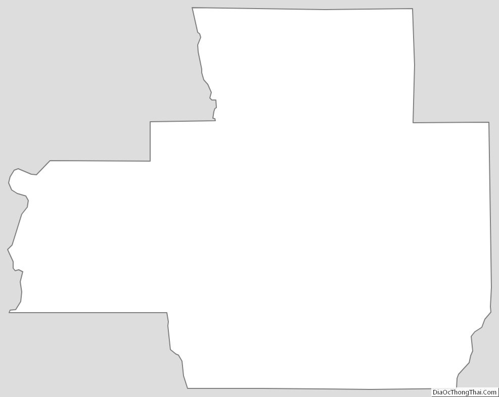
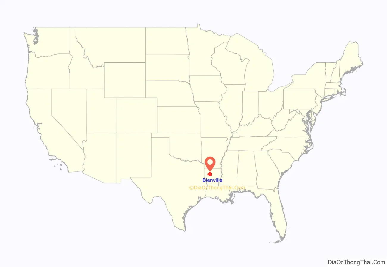
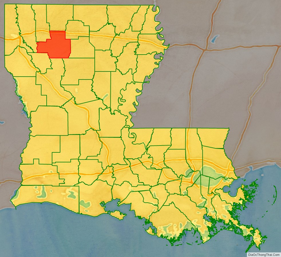
Bienville Parish location map. Where is Bienville Parish?
History
In the 1830s, Ruben Drake moved his family from South Carolina to what he named Mount Lebanon, the first permanent settlement in the parish. As the Drakes were devout Baptists, they established a church and school, which evolved into Mount Lebanon University, the forerunner of Louisiana Christian University in Pineville in Rapides Parish in Central Louisiana. Bonnie and Clyde were shot dead in Bienville Parish on May 23, 1934.
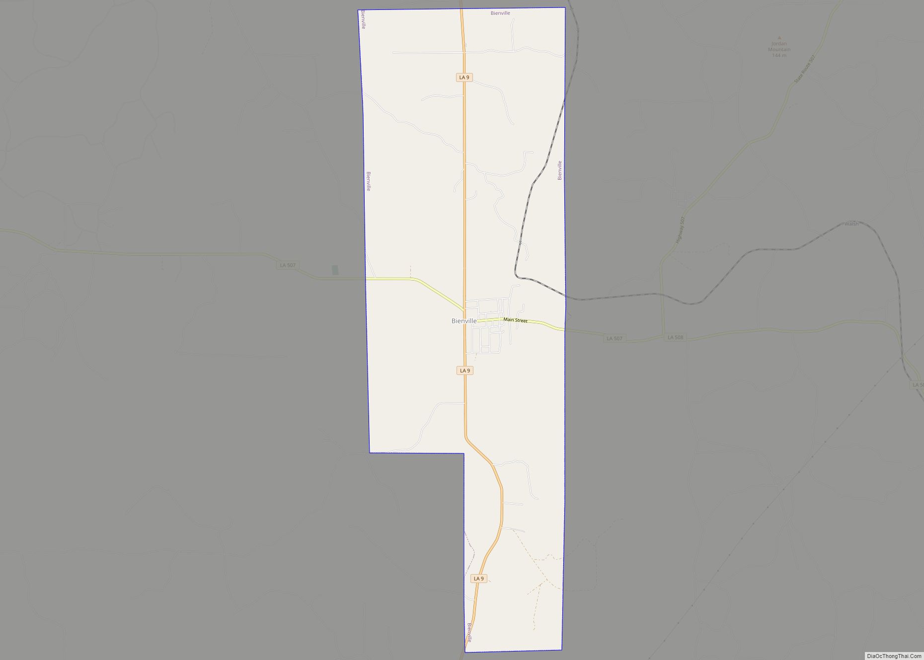
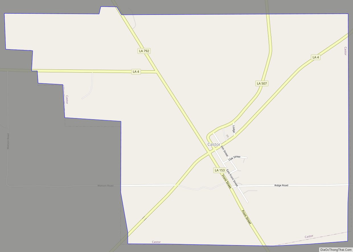
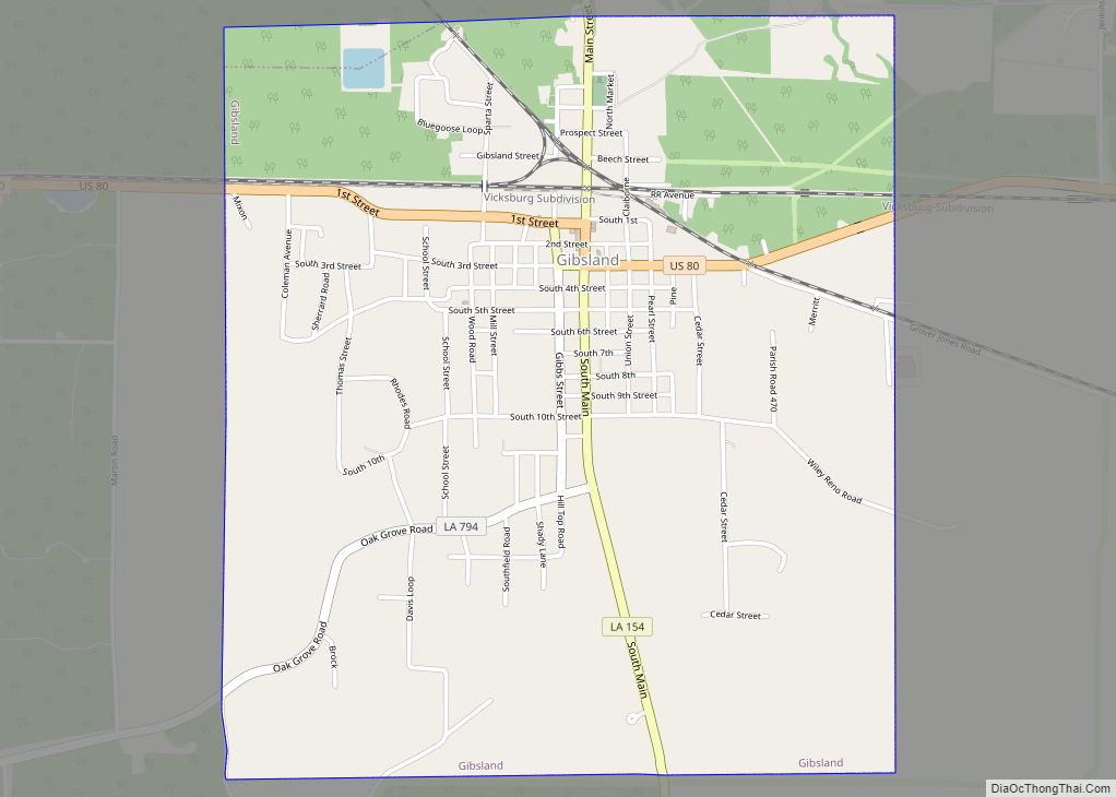
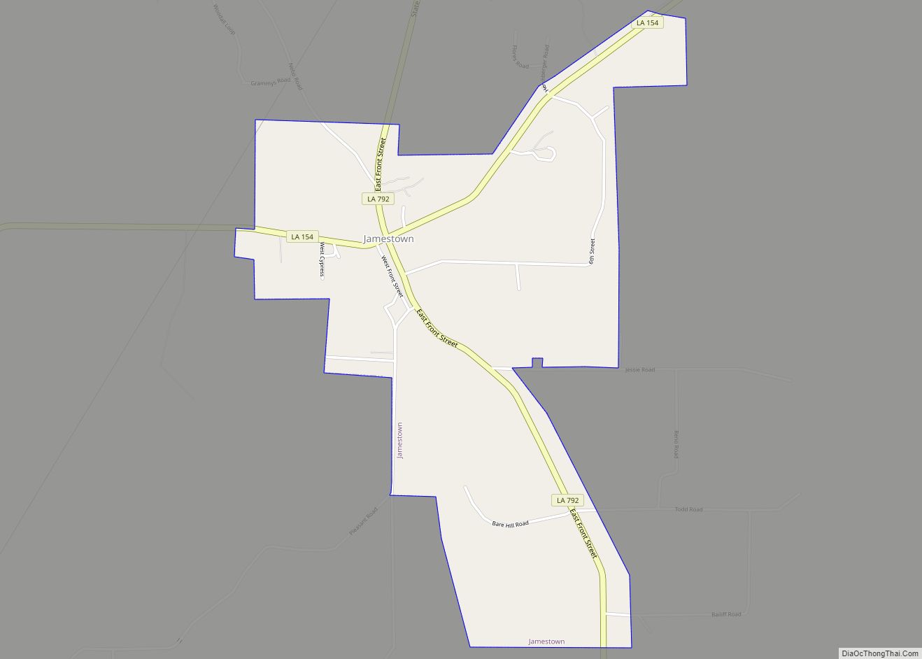
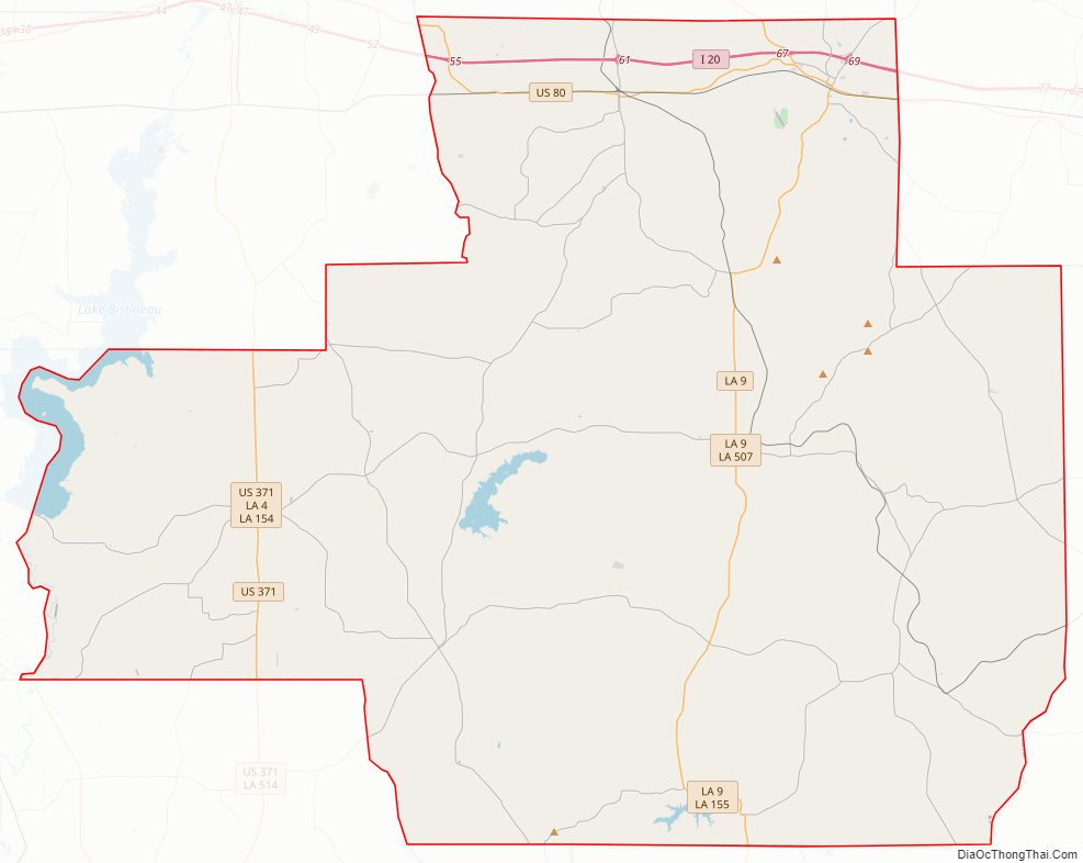
Bienville Parish Road Map
Geography
According to the U.S. Census Bureau, the parish has a total area of 822 square miles (2,130 km), of which 811 square miles (2,100 km) is land and 11 square miles (28 km) (1.3%) is water. The highest natural point in Louisiana, Driskill Mountain (535 ft), is located in Bienville Parish. Driskill Mountain is 11 miles (18 km) south of Arcadia at Latitude 32 degree, 25 minutes North; Longitude 92 degree 54 minutes West.
Major highways
Interstates
- Interstate 20
- U.S. Highway 80
- U.S. Highway 371
- Louisiana Highway 4
- Louisiana Highway 9
- Claiborne Parish (north)
- Lincoln Parish (northeast)
- Jackson Parish (east)
- Winn Parish (southeast)
- Natchitoches Parish (south)
- Red River Parish (southwest)
- Bossier Parish (west)
- Webster Parish (northwest)
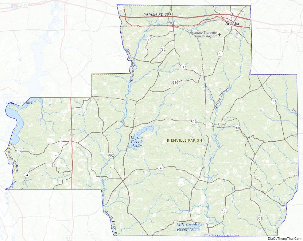
Bienville Parish Topographic Map
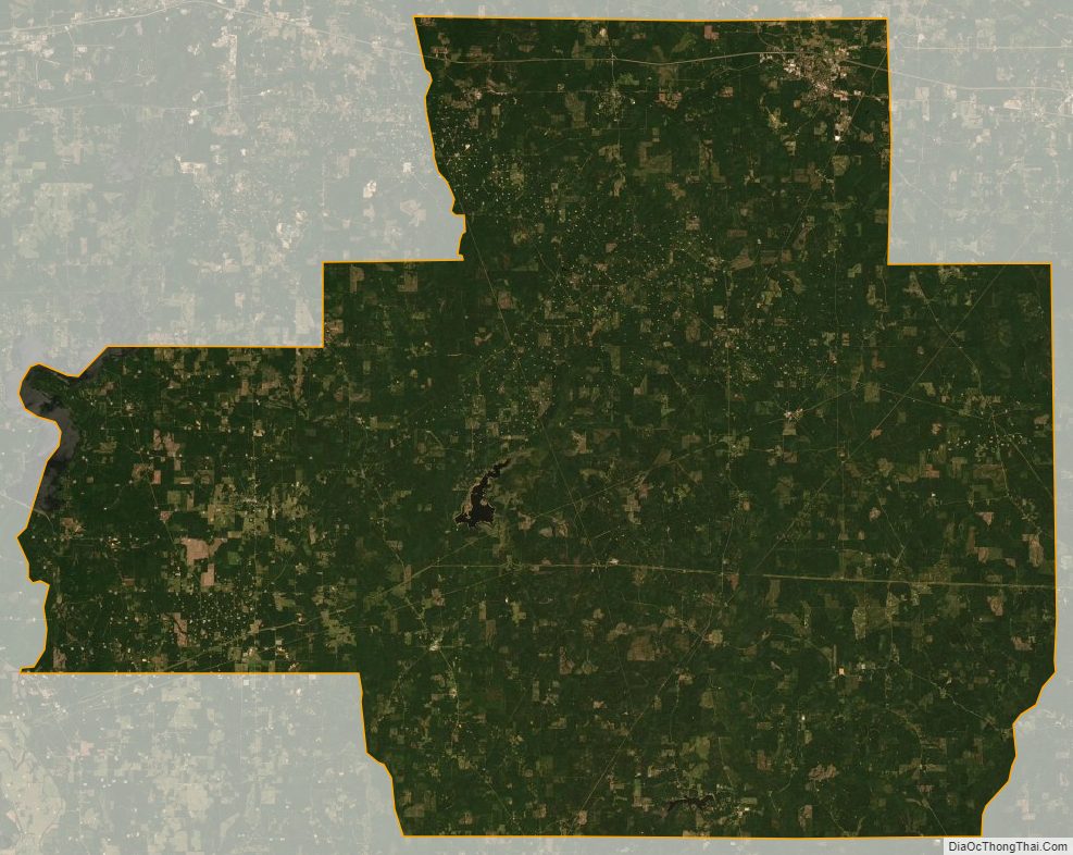
Bienville Parish Satellite Map
Bienville Parish Outline Map