Manassas Park is an independent city in the U.S. state of Virginia. As of the 2020 census, the population was 17,219. Manassas Park is bordered by the city of Manassas and Prince William County. Manassas Park is a part of the Washington-Arlington-Alexandria, DC-VA-MD-WV Metropolitan Statistical Area.
| Name: | Manassas Park City |
|---|---|
| FIPS code: | 51-685 |
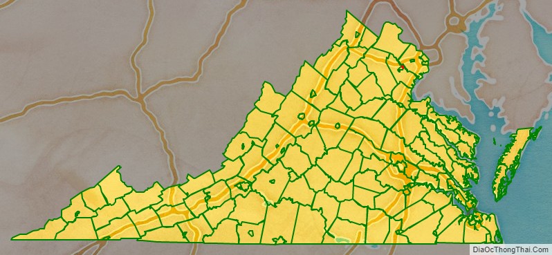
| State: | Virginia |
| Named for: | Manassas, Virginia |
| Total Area: | 3.03 sq mi (7.86 km²) |
| Land Area: | 3.03 sq mi (7.86 km²) |
| Total Population: | 17,219 |
| Population Density: | 5,682.84/sq mi (2,194.16/km²) |
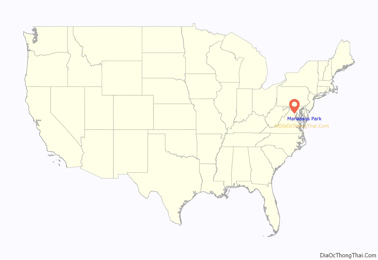
Manassas Park City location map. Where is Manassas Park City?
History
During the American Civil War, the Manassas Park area was used as a campsite by the Confederate States Army during both the First and Second Battles of Bull Run.
Manassas Park was created as a subdivision of Prince William County, with the first houses being constructed in 1955. In 1957, Manassas Park was incorporated as a town. Approximately 600 acres of land was annexed by the town of Manassas Park in 1974, and the town was incorporated as a city independent from the county the next year in 1975. Since then, it has been Virginia’s newest city.
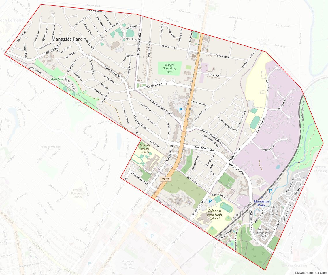
Manassas Park City Road Map
Geography
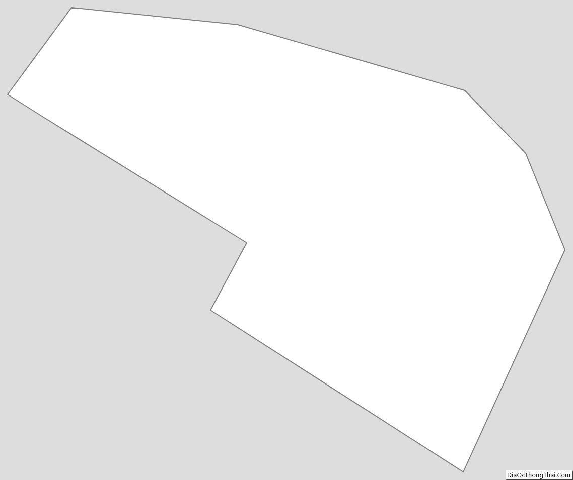
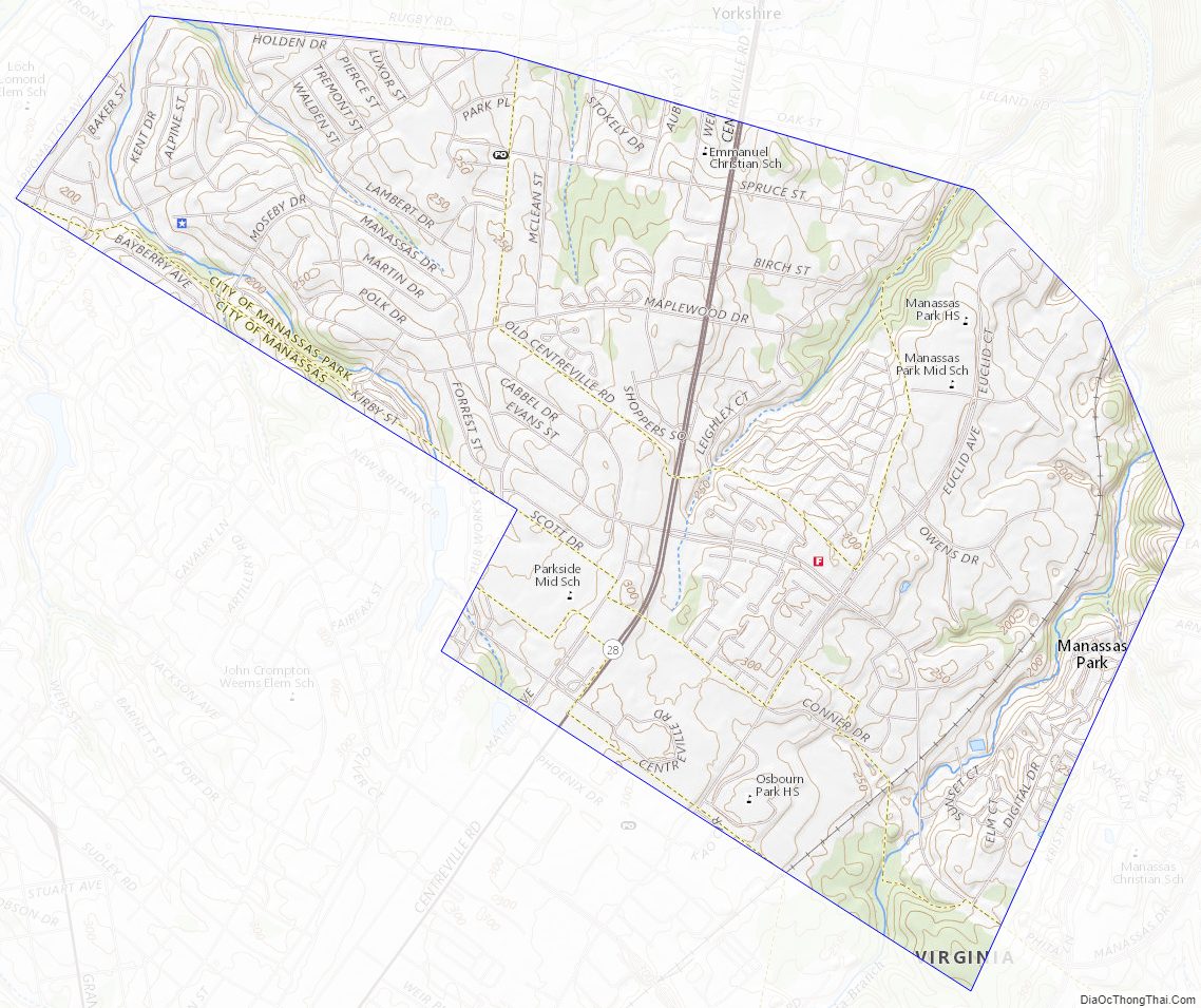
Manassas Park is located at 38°46′19″N 77°27′09″W / 38.77194°N 77.45250°W / 38.77194; -77.45250 (38.771944, -77.45250). It is roughly dumbbell-shaped and lies to the south of Bull Run. It is longest NW–SE along Manassas Drive, and is bisected by Virginia State Route 28 at its narrowest section.
According to the United States Census Bureau, the city has a total area of 2.5 square miles (6.5 km), all of it land.
Adjacent county / Independent city
- Prince William County, Virginia – north, east, south
- Manassas, Virginia – west, southwest
Manassas Park City Topographic Map
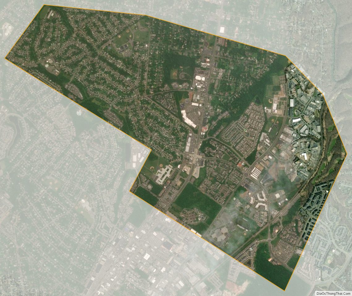
Manassas Park City Satellite Map
Manassas Park City Outline Map