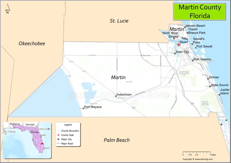
| Name: | Martin County |
|---|---|
| FIPS code: | 12-085 |
| State: | Florida |
| Founded: | May 30, 1925 |
| Named for: | John W. Martin |
| Seat: | Stuart |
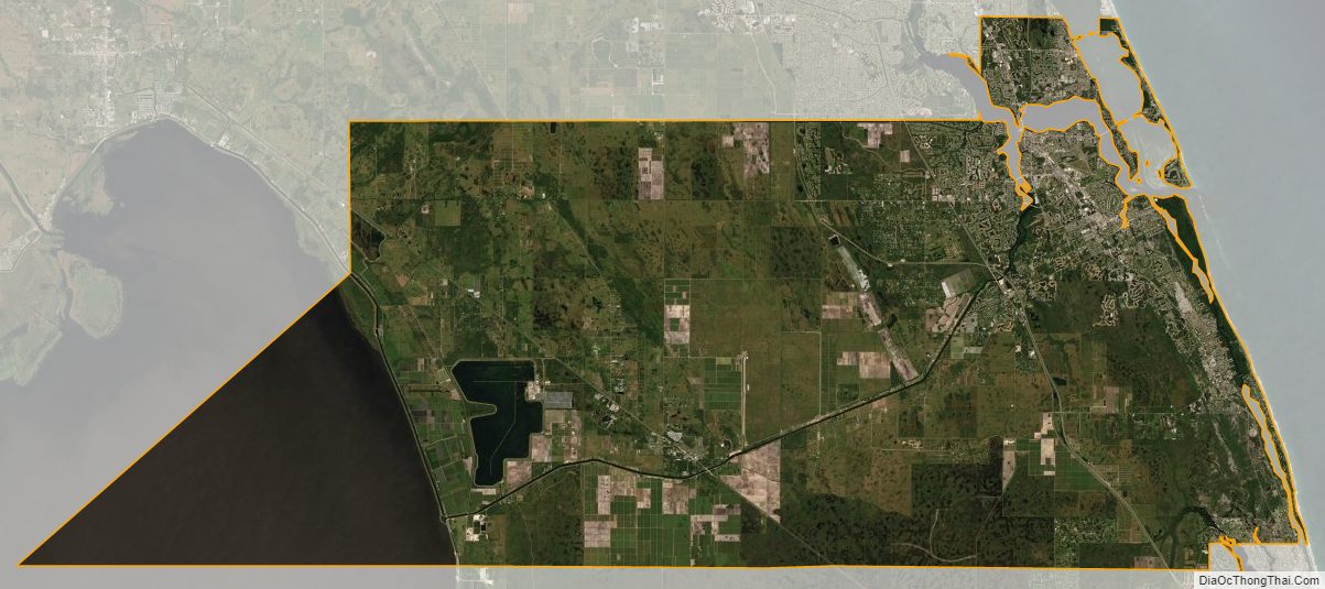
| Total Area: | 753 sq mi (1,950 km²) |
| Land Area: | 543 sq mi (1,410 km²) |
| Total Population: | 158,431 |
| Population Density: | 292/sq mi (113/km²) |
| Time zone: | UTC−5 (Eastern) |
| Summer Time Zone (DST): | UTC−4 (EDT) |
| Website: | www.martin.fl.us |
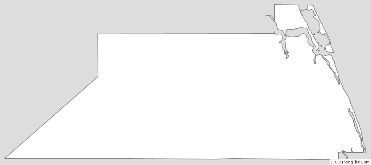
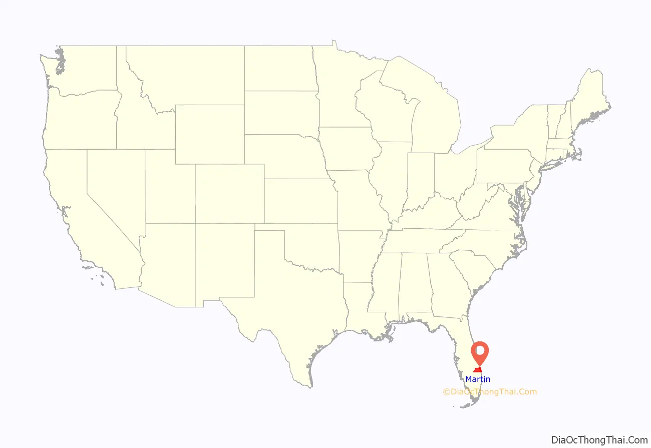
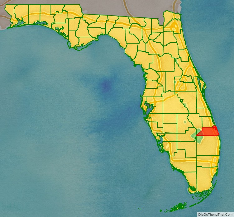
Martin County location map. Where is Martin County?
History
Martin County was created in 1925 with the northern portion coming from St. Lucie County and southern portion coming from Palm Beach County. It was named for John W. Martin, Governor of Florida from 1925 to 1929.
When the county was created, the western contour followed the shore of Lake Okeechobee, as did the borders of Glades, Okeechobee, and Hendry counties. Palm Beach County had historically claimed all of the surface of the lake as part of its area, to its benefit for the distribution of state and federal highway funds. The state representative of Martin County, William Ralph Scott of Stuart, initiated a bill to divide the lake among its adjacent counties, creating a more equitable distribution of state funds for road creation and maintenance. All bordering counties confirmed the justice of this change and supported its ratification, with the exception of Palm Beach County. Representatives from Palm Beach County later presented Representative William Scott with a jug of water, signifying “all the water Bill Scott left Palm Beach County.” The jug is in the possession of Stuart Heritage.
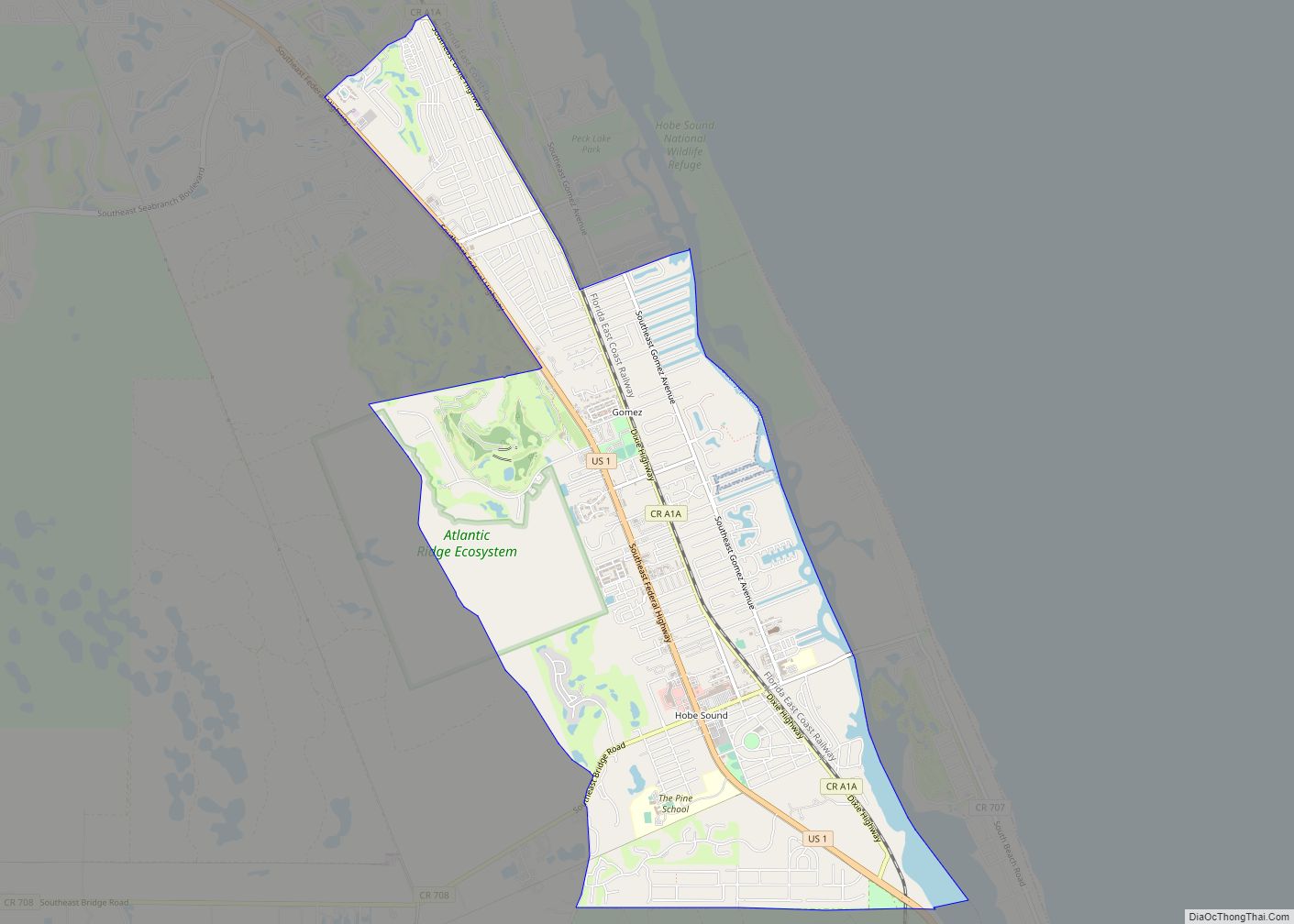
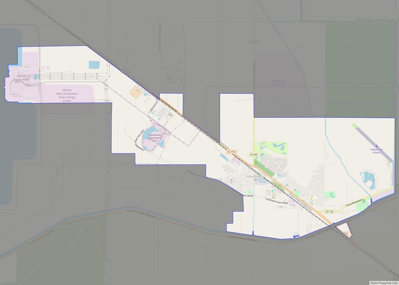
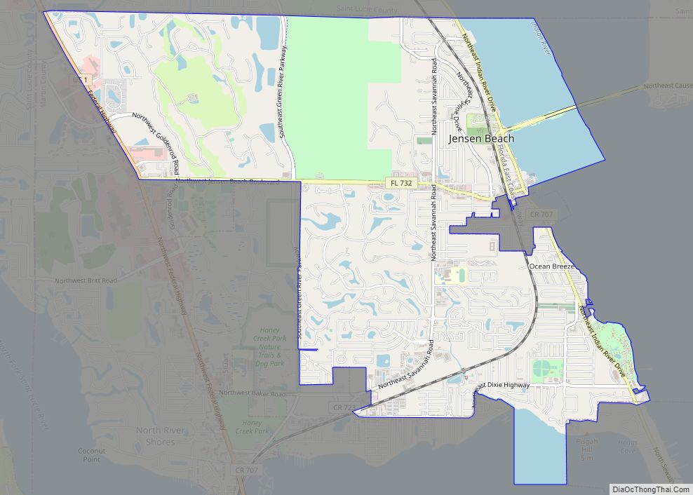
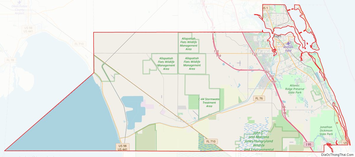
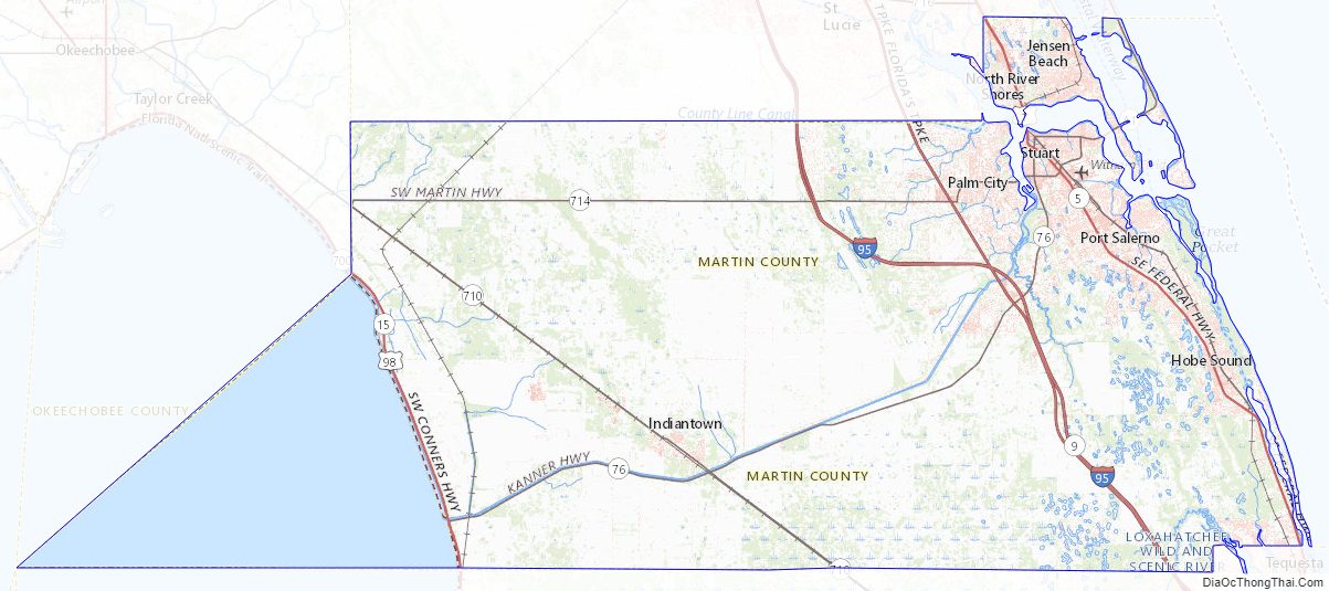
Martin County Road Map
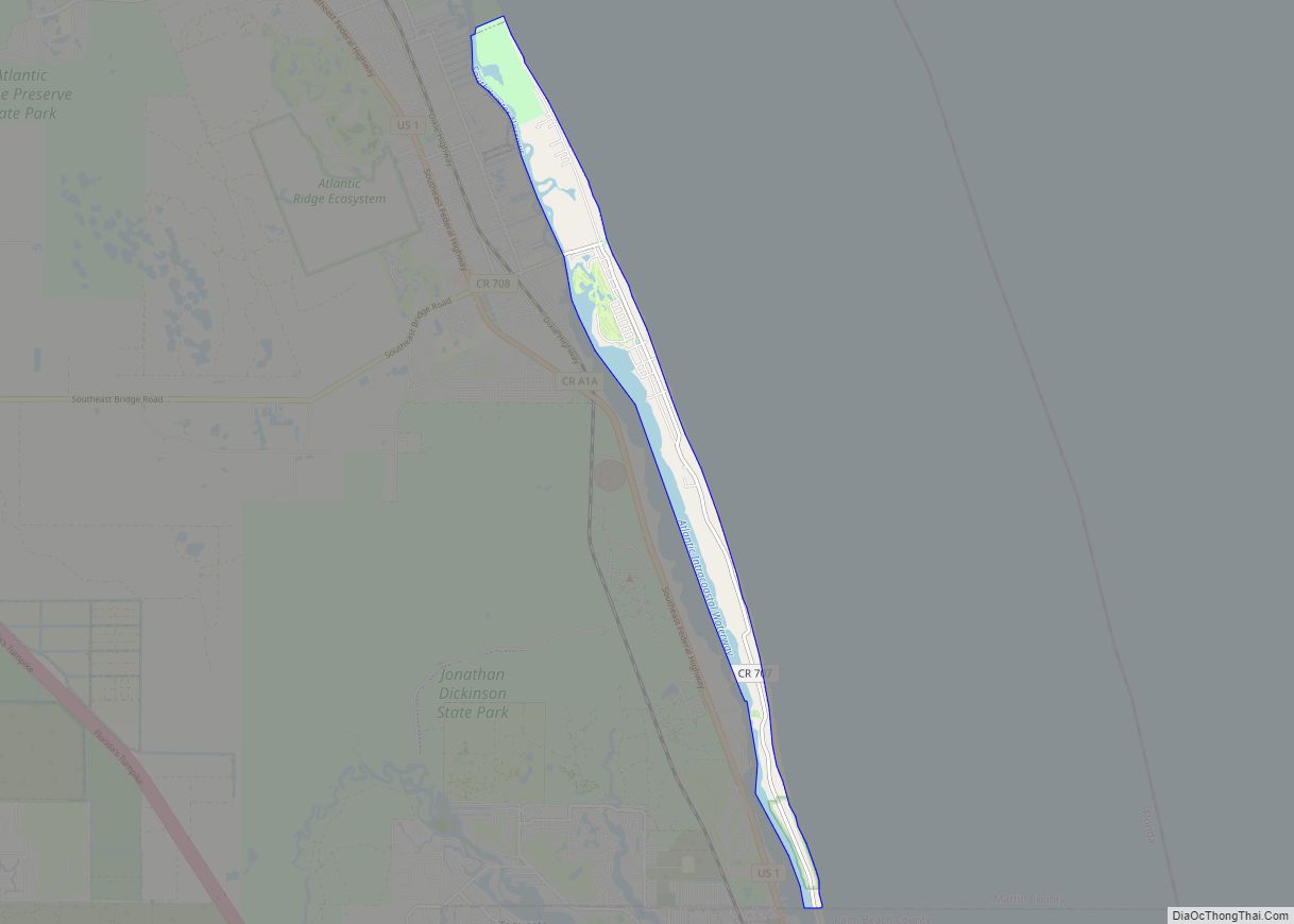
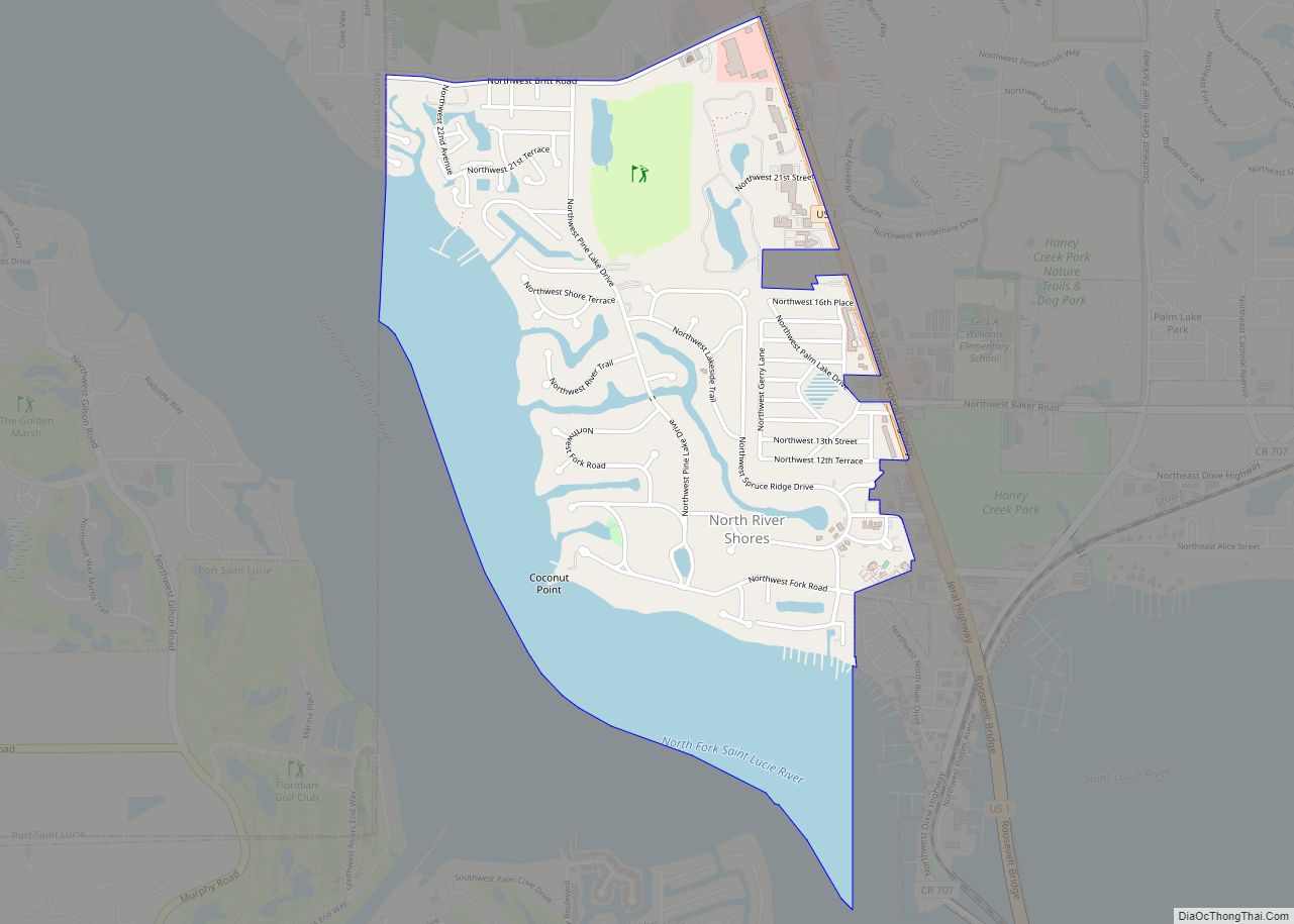
Geography
According to the U.S. Census Bureau, the county has a total area of 753 square miles (1,950 km), of which 543 square miles (1,410 km) is land and (27.8%) is water. It is the fifth-largest county in Florida by land area, and fifty-third largest by total area.
Adjacent counties
- St. Lucie County – north
- Palm Beach County – south
- Hendry County – southwest
- Glades County – southwest
- Okeechobee County – northwest
National protected area
- Hobe Sound National Wildlife Refuge
Martin County Topographic Map
Martin County Satellite Map
Martin County Outline Map