Glades County is a county located in the Florida Heartland region of the U.S. state of Florida. As of the 2020 census, the population was 12,126, making it the fourth-least populous county in Florida. Its county seat is Moore Haven.
| Name: | Glades County |
|---|---|
| FIPS code: | 12-043 |
| State: | Florida |
| Founded: | April 23, 1921 |
| Named for: | Florida Everglades |
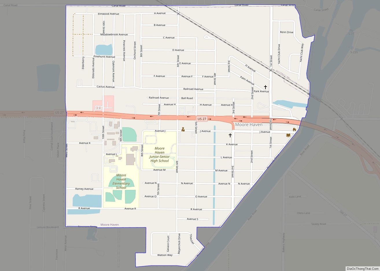
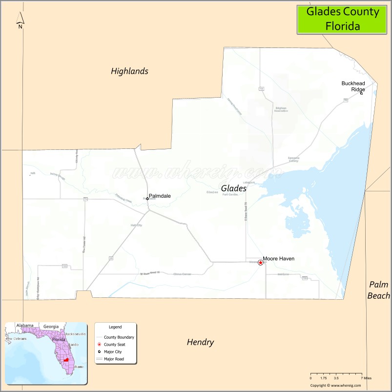
| Seat: | Moore Haven |
| Largest city: | Moore Haven |
| Total Area: | 987 sq mi (2,560 km²) |
| Land Area: | 806 sq mi (2,090 km²) |
| Total Population: | 12,234 |
| Population Density: | 16/sq mi (6/km²) |
| Time zone: | UTC−5 (Eastern) |
| Summer Time Zone (DST): | UTC−4 (EDT) |
| Website: | www.myglades.com |
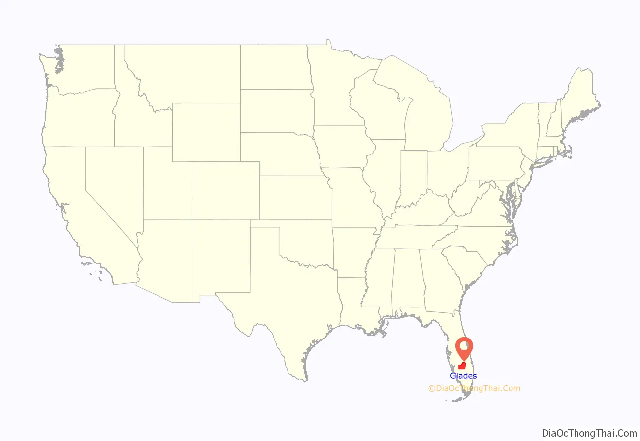
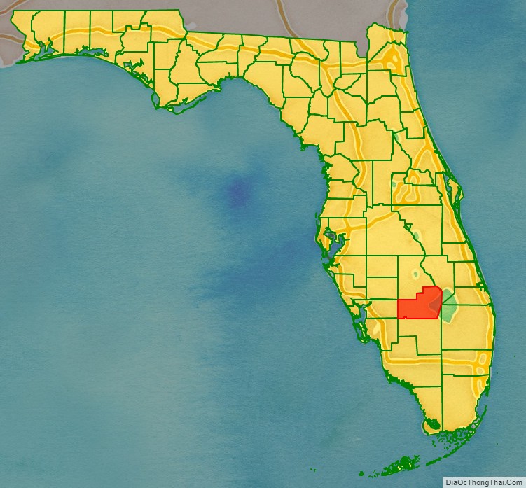
Glades County location map. Where is Glades County?
History
Indigenous people lived in this area for thousands of years. Due to warfare and exposure to infectious diseases after European contact, native tribes became depopulated. In the eighteenth century, when the area was under Spanish rule, Native American peoples of Creek and other tribes migrated into present-day Florida from Georgia. Africans and African Americans who escaped from slavery and shipwrecks also migrated to the area, where they created maroon communities. Some were given freedom by the Spanish in exchange for serving with their militias. Gradually the Seminole nation formed out of these multi-ethnic people. Some African-descended people set up communities near the Seminole and became known as Black Seminole. In the nineteenth century, most of the Seminole and many blacks were removed to Indian Territory after the Seminole Wars, a result of pressure from increasing Anglo-American settlement.
Glades County was created, in 1921, from Desoto County. It was named for the Florida Everglades, though most of the county is prairie and pinelands.
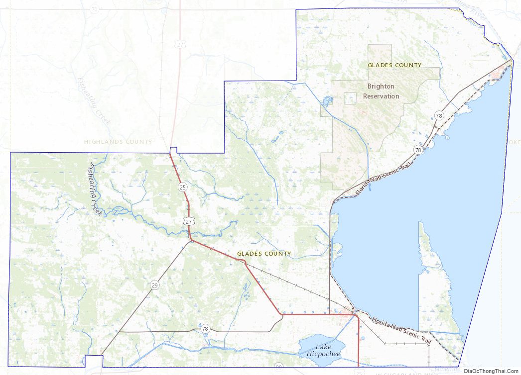
It is one of five counties surrounding Lake Okeechobee and the Lake Okeechobee Scenic Trail.
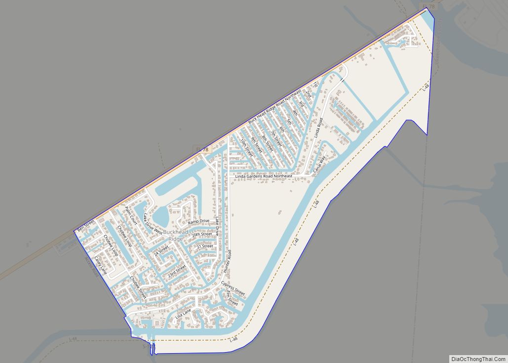
Glades County sponsors one of Florida’s oldest recurring festivals. Chalo Nitka Festival is a celebration of local history and culture, similar to a county fair. The festival also draws attention to the long and friendly relationship between the local Seminole groups and Glades County settlers. Brighton Seminole Indian Reservation is located in the county.
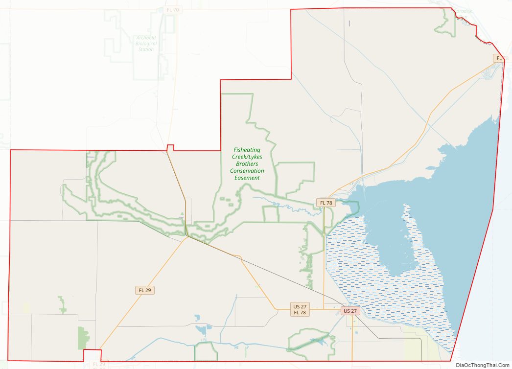
Glades County Road Map
Geography
According to the U.S. Census Bureau, the county has a total area of 987 square miles (2,560 km), of which 806 square miles (2,090 km) is land and 181 square miles (470 km) (18.3%) is water.
Fisheating Creek is a stream that flows into Lake Okeechobee in Florida. It is the only remaining free-flowing watercourse feeding into the lake and the second-largest natural source for the lake.
Adjacent counties
- Highlands County, Florida – north
- Okeechobee County, Florida – northeast
- Martin County, Florida – east
- Palm Beach County, Florida – southeast
- Hendry County, Florida – south
- Lee County, Florida – southwest
- Charlotte County, Florida – west
- DeSoto County, Florida – northwest
Climate
Glades County Topographic Map
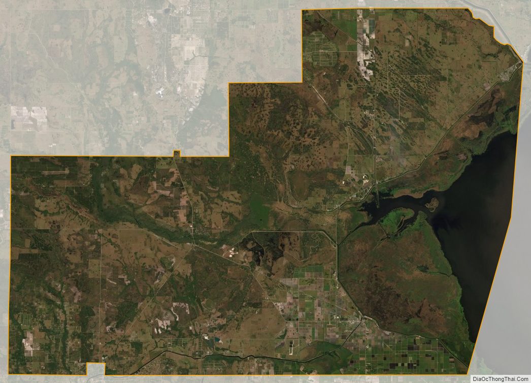
Glades County Satellite Map
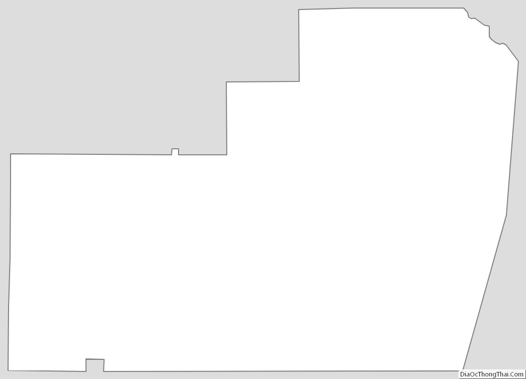
Glades County Outline Map