Stuart is a city in and the county seat of Martin County, Florida, United States. Located in southeastern Florida, Stuart is the largest of four incorporated municipalities in Martin County. The population is 17,425 according to the 2020 U.S. census. Stuart is the 126th largest city in Florida based on official 2019 estimates from the U.S. Census Bureau. It is part of the Port St. Lucie, Florida Metropolitan Statistical Area.
Stuart is frequently cited as one of the best small towns to visit in the U.S., in large part because of its proximity to the St. Lucie River and Indian River Lagoon.
| Name: | Stuart city |
|---|---|
| LSAD Code: | 25 |
| LSAD Description: | city (suffix) |
| State: | Florida |
| County: | Martin County |
| Elevation: | 10 ft (3 m) |
| Total Area: | 9.53 sq mi (24.67 km²) |
| Land Area: | 7.05 sq mi (18.25 km²) |
| Water Area: | 2.48 sq mi (6.42 km²) |
| Total Population: | 17,425 |
| Population Density: | 2,472.68/sq mi (954.69/km²) |
| ZIP code: | 34994-34997 |
| Area code: | 772 |
| FIPS code: | 1268875 |
| GNISfeature ID: | 0291756 |
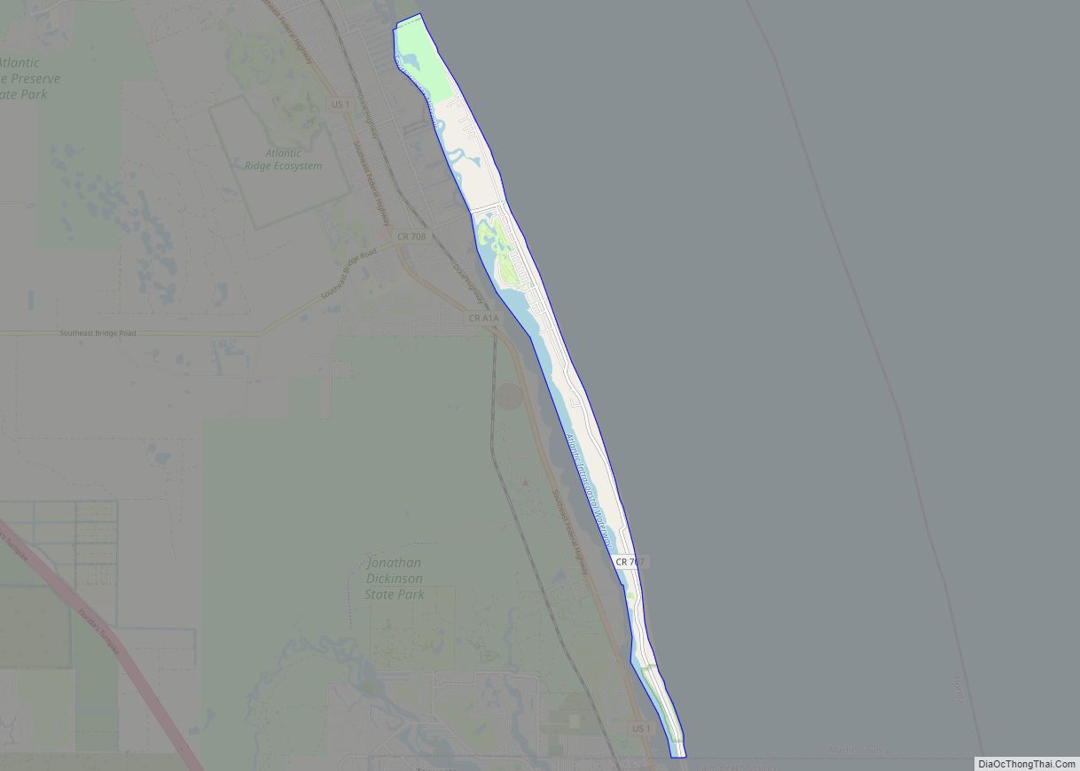
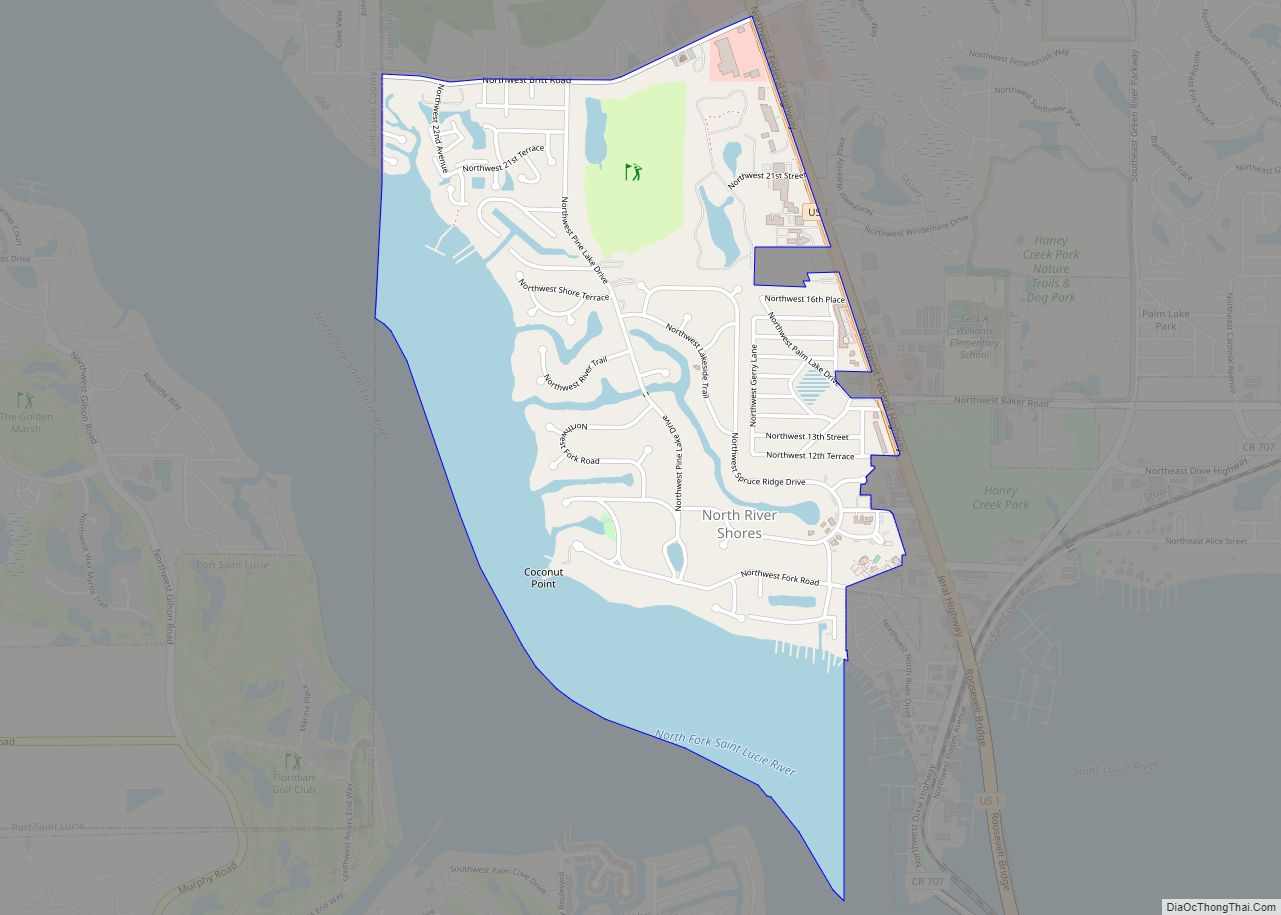
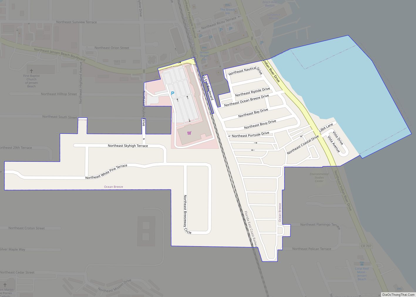
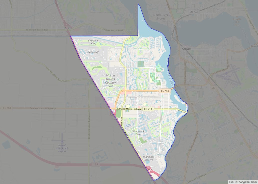
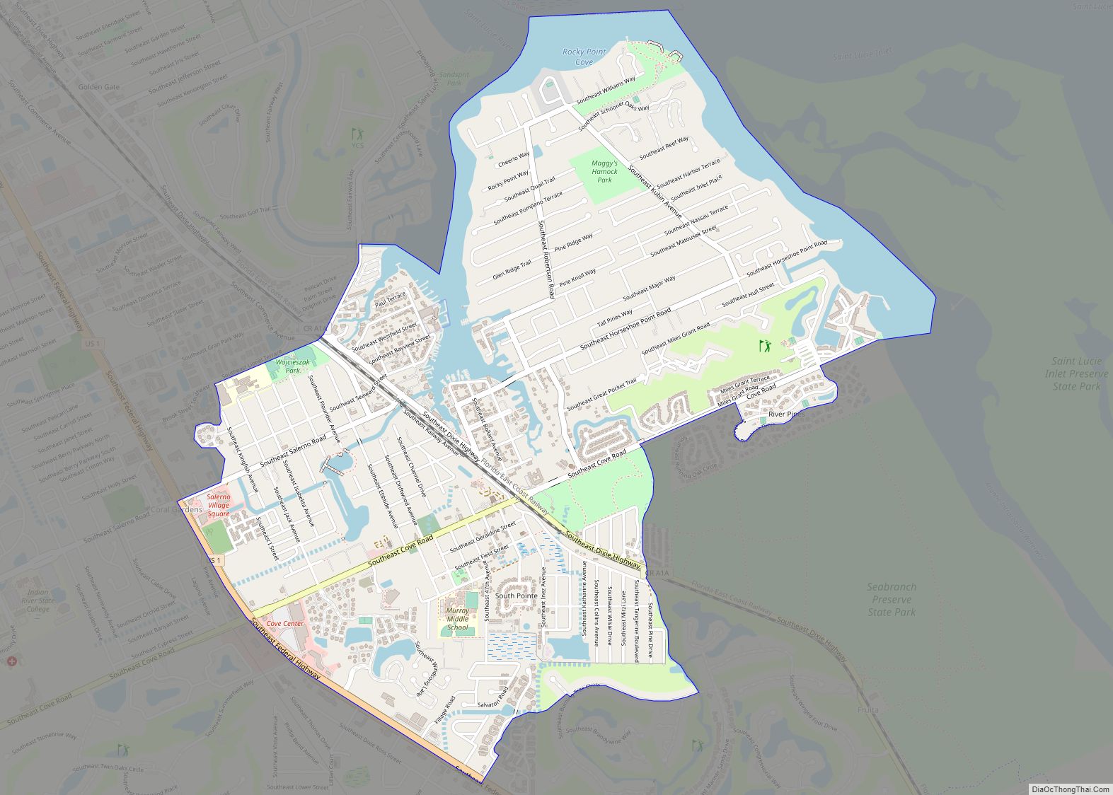
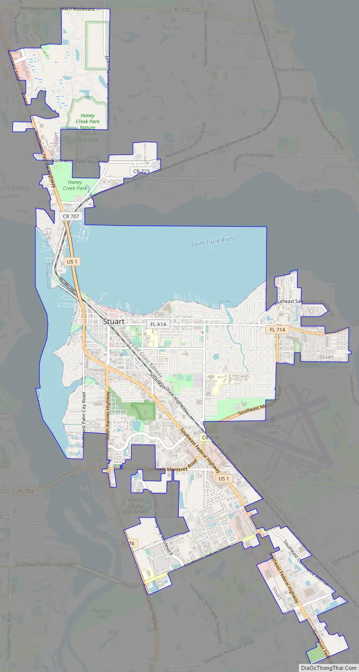
Online Interactive Map
Click on ![]() to view map in "full screen" mode.
to view map in "full screen" mode.
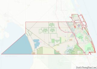
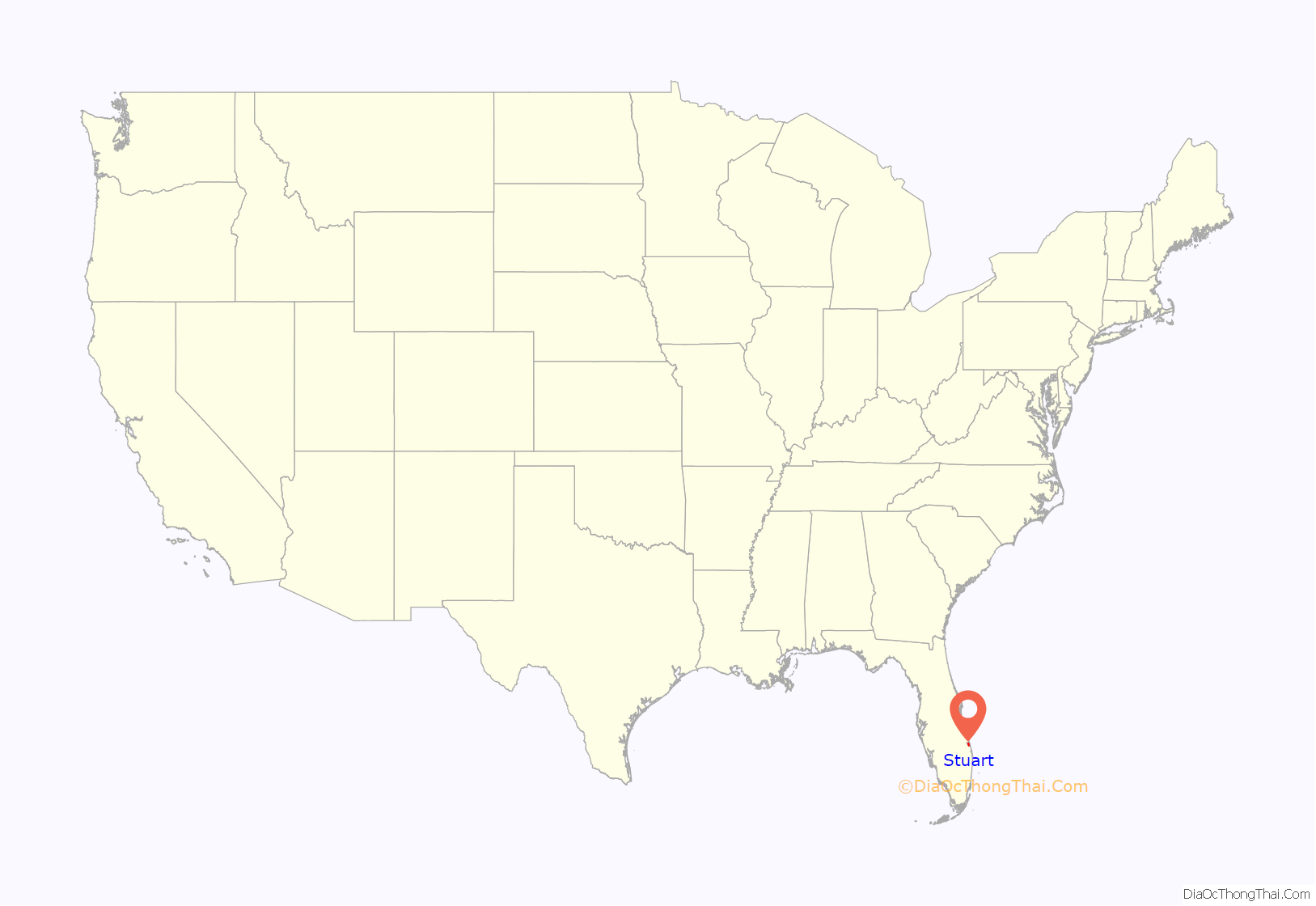
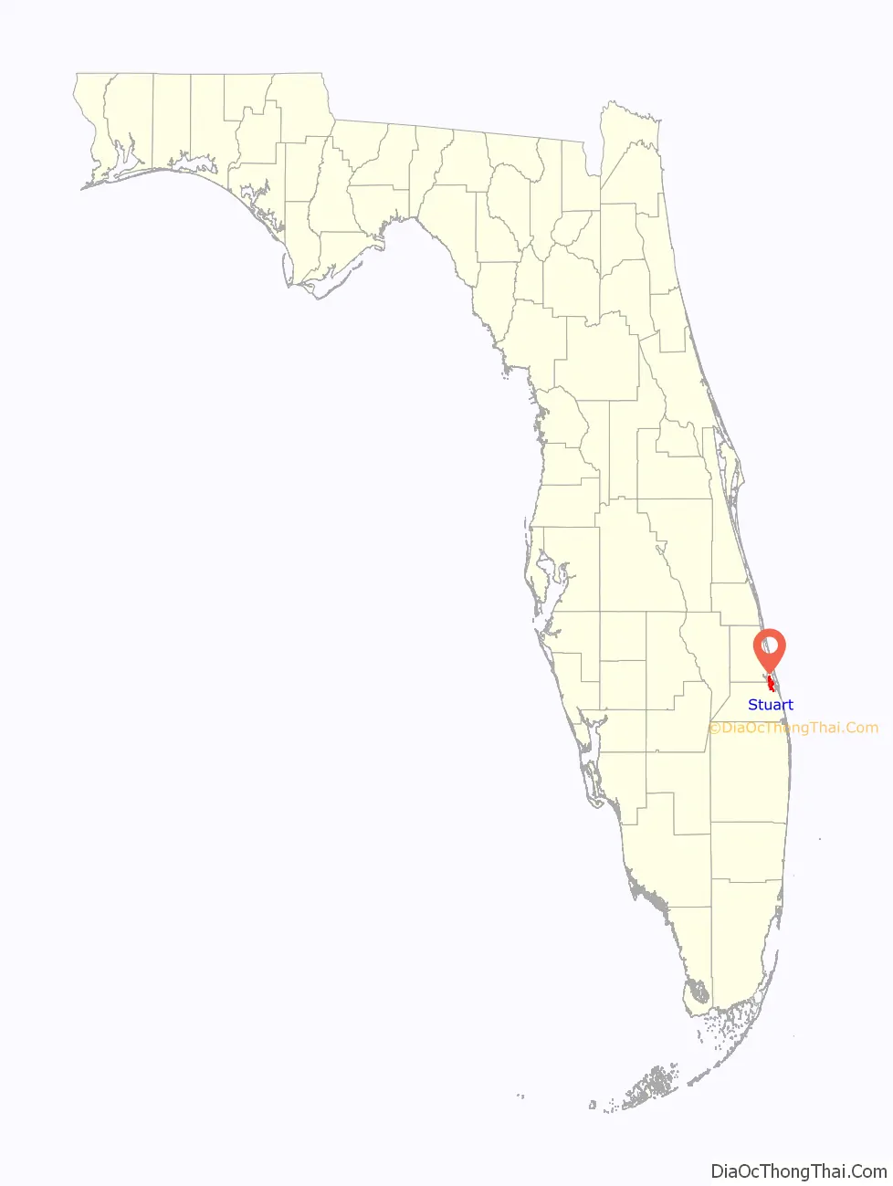
Stuart location map. Where is Stuart city?
History
In the 18th century, several Spanish galleons were shipwrecked in the Martin County area of Florida‘s Treasure Coast. The multiple wrecks were reportedly the result of a hurricane, and the ships were carrying unknown quantities of gold and silver. Some of this treasure has since been recovered, and its presence resulted in the region’s name.
In 1832, pirate Pedro Gilbert, who often used a sandbar off the coast as a lure to unsuspecting prey, chased and caught the Mexican, a U.S. merchant ship. Although he attempted to burn the ship and kill the crew, they survived to report the incident, ultimately resulting in the capture and execution of Gilbert and his crew. The bar from which he lured his intended booty is named “Gilbert’s Bar” on nautical charts.
The Treasure Coast area that became Stuart was first settled by non-Native Americans in 1870. In 1875, a United States Lifesaving Station was established on Hutchinson Island, near Stuart. Today, the station is known as Gilbert’s Bar House of Refuge and is on the National Register of Historic Places.
From 1893 to 1895, the area was called Potsdam. This name was chosen by Otto Stypmann, a local landowner originally from Potsdam, Germany. Stypmann, with his brother Ernest, owned the land that would become downtown Stuart. Henry Flagler’s Florida East Coast Railway connected the area to Daytona Beach in 1892 and Miami in 1896.
Potsdam was renamed Stuart in 1895, in honor of Homer Hine (Jack) Stuart Jr., a local landowner who owned a 160 acres around the railway station. Rue, Luckhardt, Krueger, Crary, Armellinis, were some of the prominent settler families.
When Stuart was incorporated as a town in 1914, it was located in Palm Beach County. In 1925, Stuart was chartered as a city and named the county seat of the newly created Martin County.
The City of Stuart formally adopted the slogan Sailfish Capital of the World in 1957, following pressure from the Stuart Chamber of Commerce, owing to the many sailfish found in the ocean off Martin County. The slogan is still used by the City. Some have also assigned Guatemala the namesake.
From 1871 to 2005, 19 hurricanes passed through Stuart, including Isbell (1964), Frances (2004), Jeanne (2004), and Wilma (2005).
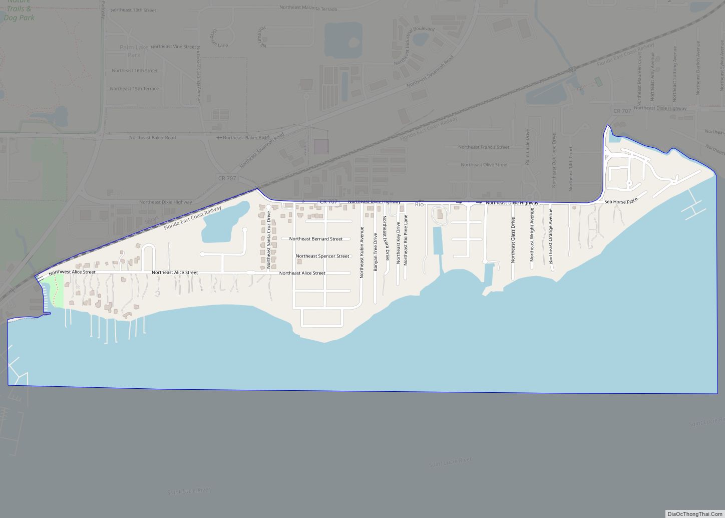
Stuart Road Map
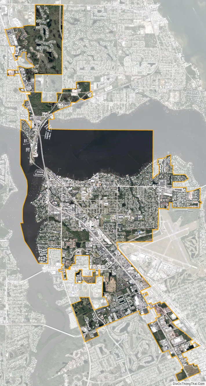
Stuart city Satellite Map
Geography
According to the United States Census Bureau, the city has a total area of 8.5 square miles (22 km), of which 6.3 square miles (16 km) is land and 2.2 square miles (5.7 km) is water.
Climate
According to the Köppen climate classification, Stuart has a tropical rainforest climate (Af), with hot, humid summers and warm, drier winters. Stuart has a noticeably seasonal precipitation pattern, with summer being the wettest season and winter being the driest.
Summers feature hot temperatures and frequent thunderstorms. Average highs during summer range from 88 °F (31 °C) to 91 °F (33 °C). On average, there are 81 days of 90+ °F highs annually, with an average annual mean maximum of 96.4 °F (35.8 °C). Late summer brings an increased threat of tropical storms and hurricanes, though landfalls are rare. Several major hurricanes have impacted Stuart since 1900, with Hurricane David in 1979 and hurricanes Frances and Jeanne causing moderate damage to the area in 2004.
Winter brings much cooler and drier air. Average highs during winter range from 74 °F (23 °C) to 78 °F (26 °C), though occasional strong cold fronts bring brief rainfall followed by cooler temperatures, with highs in the 50s °F for a few days each winter. Most winters are frost-free, with an annual mean minimum temperature of 37.6 °F (3.1 °C).
See also
Map of Florida State and its subdivision:- Alachua
- Baker
- Bay
- Bradford
- Brevard
- Broward
- Calhoun
- Charlotte
- Citrus
- Clay
- Collier
- Columbia
- Desoto
- Dixie
- Duval
- Escambia
- Flagler
- Franklin
- Gadsden
- Gilchrist
- Glades
- Gulf
- Hamilton
- Hardee
- Hendry
- Hernando
- Highlands
- Hillsborough
- Holmes
- Indian River
- Jackson
- Jefferson
- Lafayette
- Lake
- Lee
- Leon
- Levy
- Liberty
- Madison
- Manatee
- Marion
- Martin
- Miami-Dade
- Monroe
- Nassau
- Okaloosa
- Okeechobee
- Orange
- Osceola
- Palm Beach
- Pasco
- Pinellas
- Polk
- Putnam
- Saint Johns
- Saint Lucie
- Santa Rosa
- Sarasota
- Seminole
- Sumter
- Suwannee
- Taylor
- Union
- Volusia
- Wakulla
- Walton
- Washington
- Alabama
- Alaska
- Arizona
- Arkansas
- California
- Colorado
- Connecticut
- Delaware
- District of Columbia
- Florida
- Georgia
- Hawaii
- Idaho
- Illinois
- Indiana
- Iowa
- Kansas
- Kentucky
- Louisiana
- Maine
- Maryland
- Massachusetts
- Michigan
- Minnesota
- Mississippi
- Missouri
- Montana
- Nebraska
- Nevada
- New Hampshire
- New Jersey
- New Mexico
- New York
- North Carolina
- North Dakota
- Ohio
- Oklahoma
- Oregon
- Pennsylvania
- Rhode Island
- South Carolina
- South Dakota
- Tennessee
- Texas
- Utah
- Vermont
- Virginia
- Washington
- West Virginia
- Wisconsin
- Wyoming