McDuffie County is a county located in the U.S. state of Georgia. As of the 2020 census, the population was 21,632. The county seat is Thomson. The county was created on October 18, 1870 and named after the South Carolina governor and senator George McDuffie.
McDuffie County is part of the Augusta-Richmond County, GA-SC Metropolitan Statistical Area.
| Name: | McDuffie County |
|---|---|
| FIPS code: | 13-189 |
| State: | Georgia |
| Founded: | 1870 |
| Named for: | George McDuffie |
| Seat: | Thomson |
| Largest city: | Thomson |
| Total Area: | 266 sq mi (690 km²) |
| Land Area: | 257 sq mi (670 km²) |
| Total Population: | 21,632 |
| Population Density: | 84/sq mi (32/km²) |
| Time zone: | UTC−5 (Eastern) |
| Summer Time Zone (DST): | UTC−4 (EDT) |
| Website: | www.thomson-mcduffie.com |
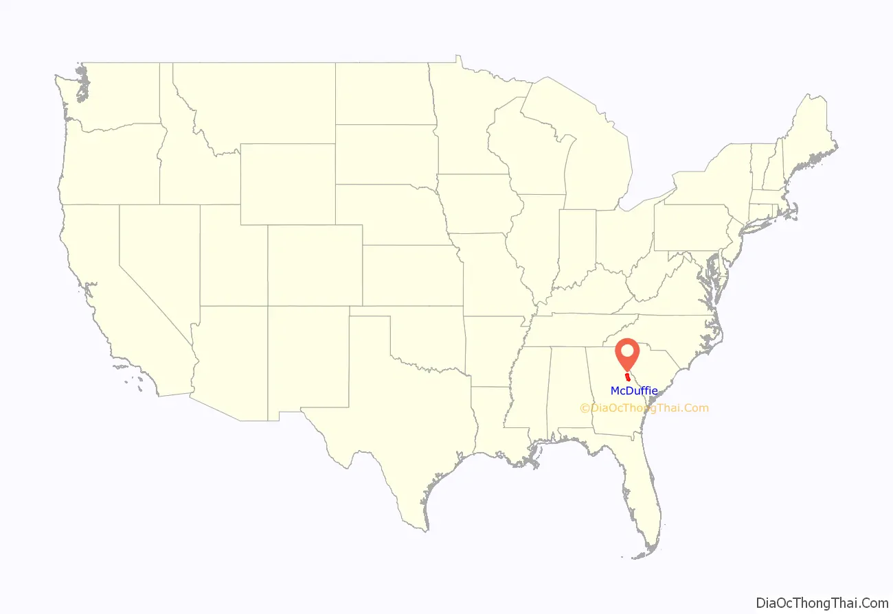
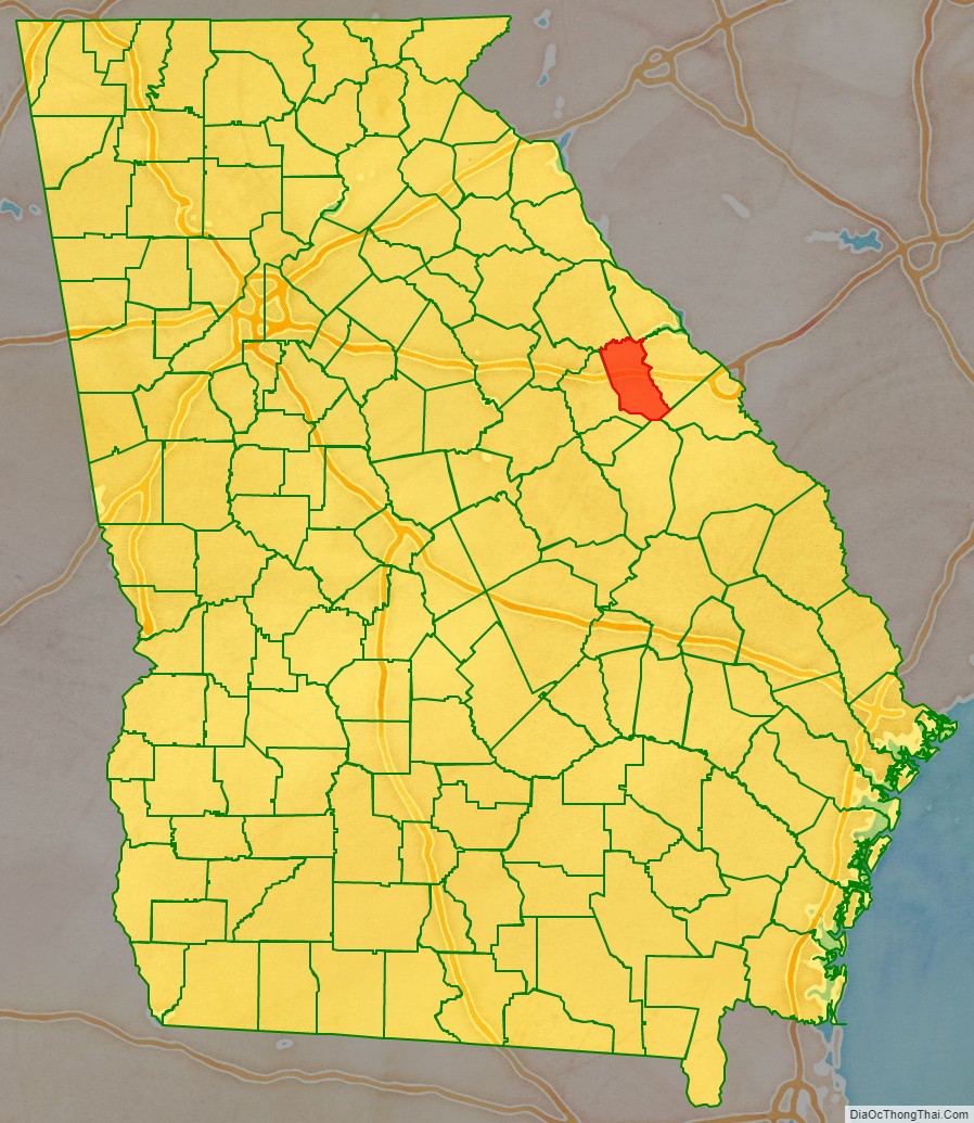
McDuffie County location map. Where is McDuffie County?
History
Most communities located in the county were founded before the county was created. Some have faded into obscurity. The Historic Wrightsborough Foundation preserves the memory of the early 12,000 acre settlement of Wrightborough, which was occupied 1768 to 1920.
McDuffie County Road Map
Geography
According to the U.S. Census Bureau, the county has a total area of 266 square miles (690 km), of which 257 square miles (670 km) is land and 8.9 square miles (23 km) (3.4%) is water.
Most of the southern half of McDuffie County, south of Thomson, is located in the Brier Creek sub-basin of the Savannah River basin, except for a slice of the eastern portion of the county, north of Dearing and along a north–south line running through Boneville, which is located in the Middle Savannah River sub-basin of the Savannah River basin. The northern half of McDuffie County, north of Thomson, is located in the Little River sub-basin of the same Savannah River basin.
Major highways
- Interstate 20
- U.S. Route 78
- U.S. Route 221
- U.S. Route 278
- State Route 10
- State Route 12
- State Route 17
- State Route 43
- State Route 47
- State Route 150
- State Route 223
- State Route 402 (unsigned designation for I-20)
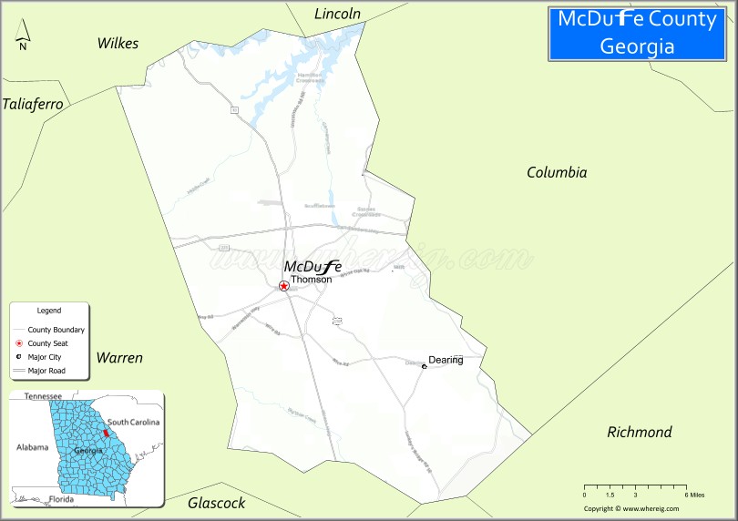
Adjacent counties
- Lincoln County (northeast)
- Columbia County (east)
- Richmond County (southeast)
- Jefferson County (south)
- Warren County (west)
- Wilkes County (northwest)
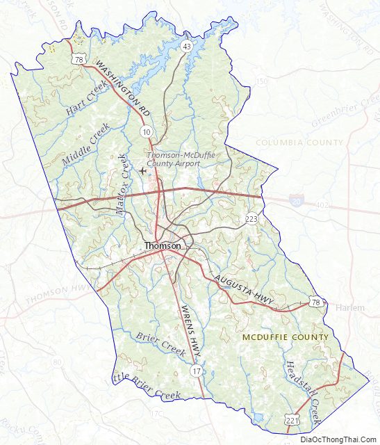
McDuffie County Topographic Map
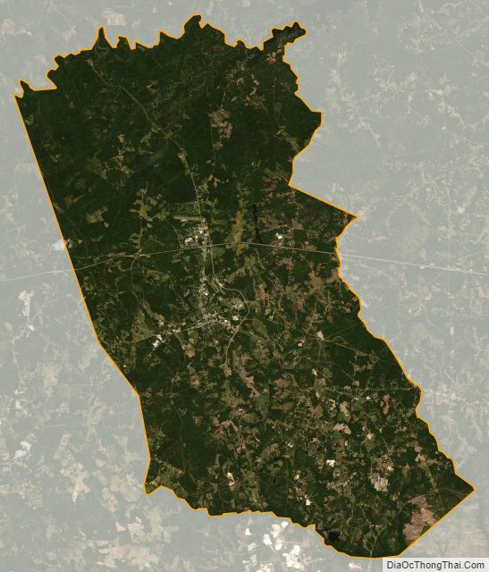
McDuffie County Satellite Map
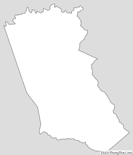
McDuffie County Outline Map