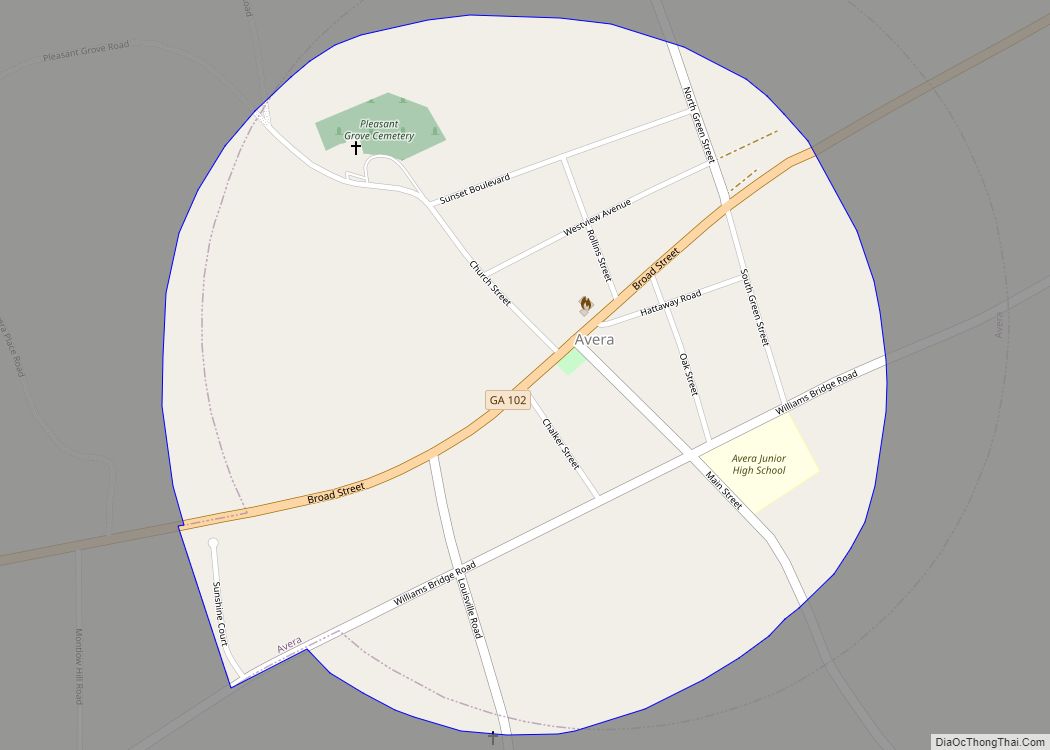
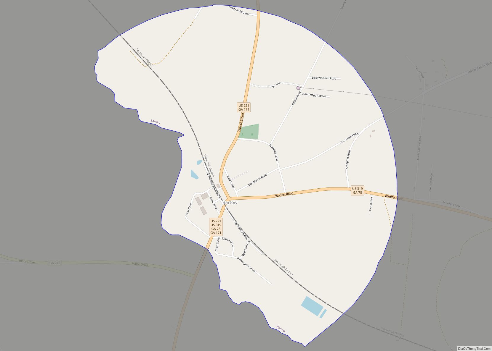
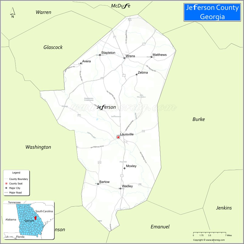
Jefferson County is a county located in the U.S. state of Georgia. As of the 2020 census, the population was 15,709. The county seat is Louisville. The county was created on February 20, 1796, and named for Thomas Jefferson, the main author of the Declaration of Independence who became the third president of the United States.
| Name: | Jefferson County |
|---|---|
| FIPS code: | 13-163 |
| State: | Georgia |
| Founded: | 1796 |
| Named for: | Thomas Jefferson |
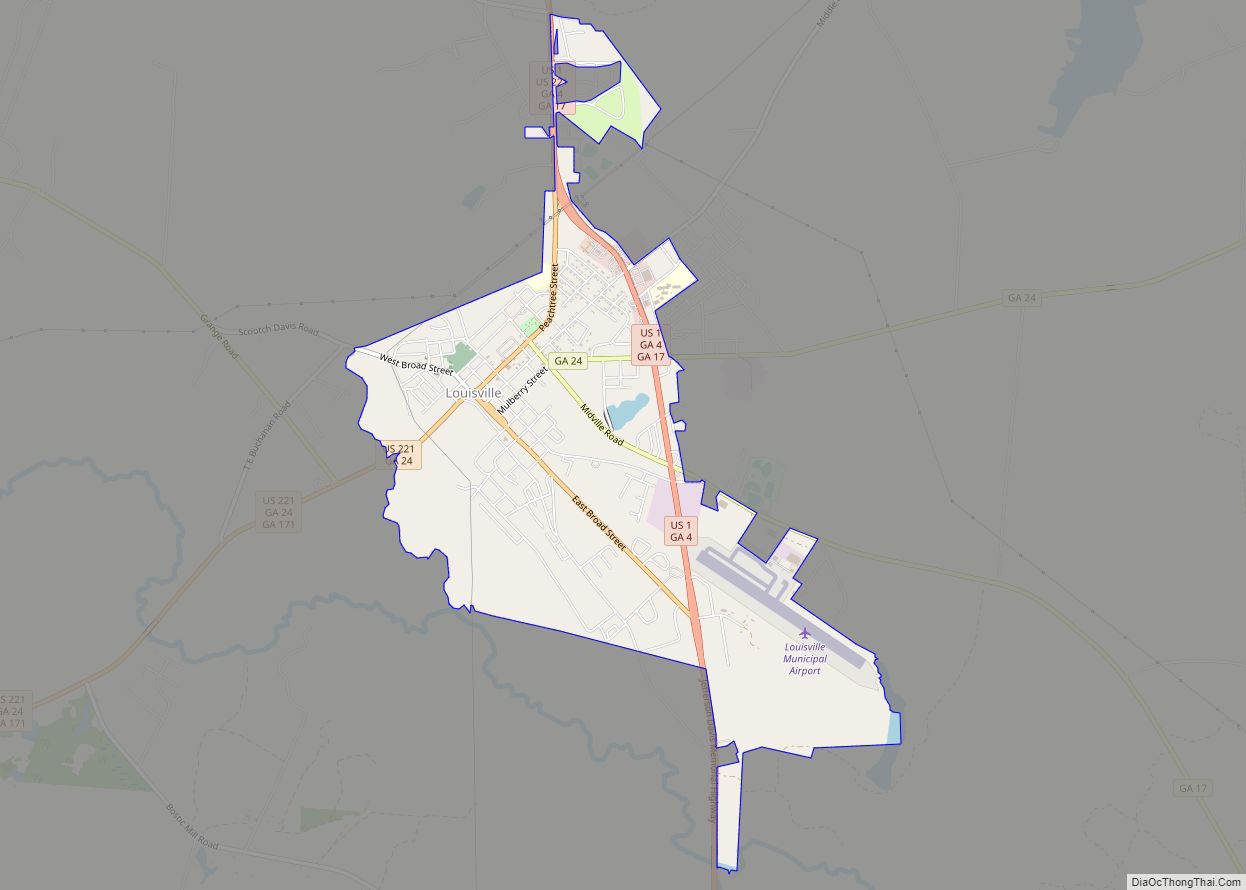
| Seat: | Louisville |
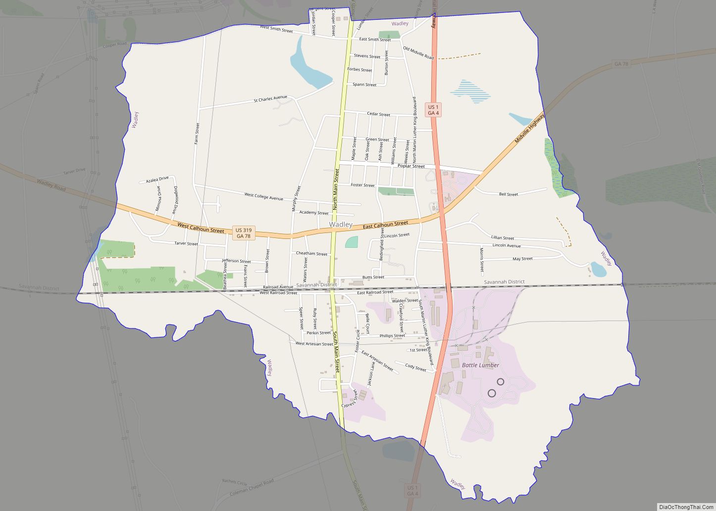
| Largest city: | Wadley |
| Total Area: | 530 sq mi (1,400 km²) |
| Land Area: | 526 sq mi (1,360 km²) |
| Total Population: | 15,709 |
| Population Density: | 30/sq mi (10/km²) |
| Time zone: | UTC−5 (Eastern) |
| Summer Time Zone (DST): | UTC−4 (EDT) |
| Website: | Jefferson County, Georgia |
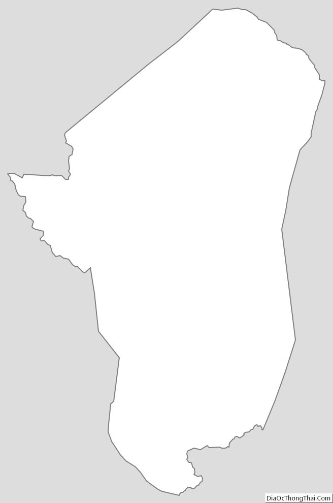
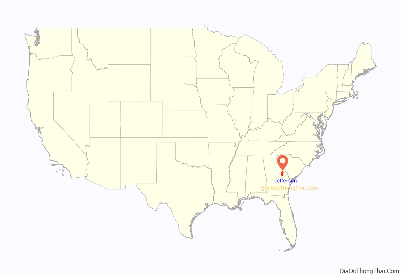
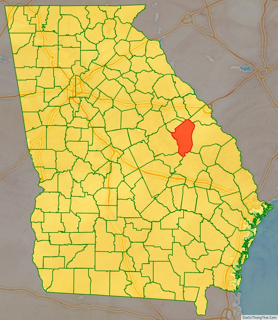
Jefferson County location map. Where is Jefferson County?
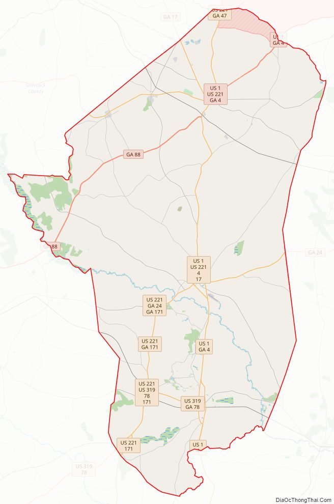
Jefferson County Road Map
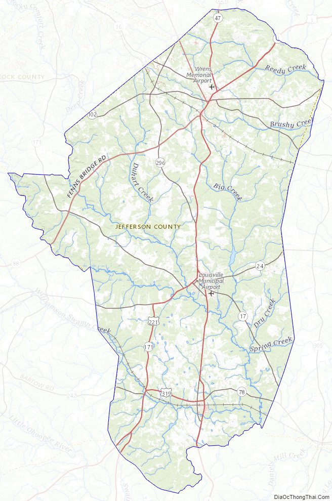
Geography
According to the U.S. Census Bureau, the county has a total area of 530 square miles (1,400 km), of which 526 square miles (1,360 km) is land and 3.2 square miles (8.3 km) (0.6%) is water.
The small northern portion of Jefferson County, defined by a line running from Stapleton southeast and just south of State Route 80, is located in the Brier Creek sub-basin of the Savannah River basin. The entire rest of the county is located in the Upper Ogeechee River sub-basin of the Ogeechee River basin.
Major highways
- U.S. Route 1
U.S. Route 1 Business (Louisville)
U.S. Route 1 Business (Wadley)- U.S. Route 221
- U.S. Route 319
- State Route 4
- State Route 4 Business (Louisville)
- State Route 4 Business (Wadley)
- State Route 17
- State Route 24
- State Route 47
- State Route 78
- State Route 80
- State Route 88
- State Route 102
- State Route 171
- State Route 242
- State Route 296
- State Route 540 (Fall Line Freeway)
Adjacent counties
- McDuffie County – north
- Richmond County – northeast
- Burke County – east
- Emanuel County – south
- Johnson County – southwest
- Glascock County – northwest
- Washington County – west
- Warren County – northwest
Jefferson County Topographic Map
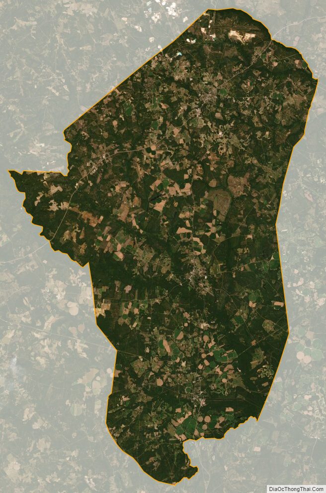
Jefferson County Satellite Map
Jefferson County Outline Map