| Name: | Miller County |
|---|---|
| FIPS code: | 13-201 |
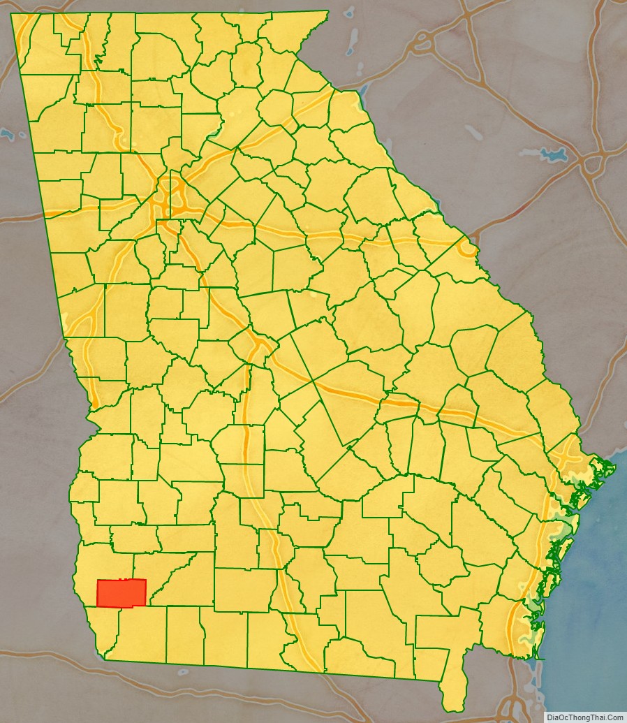
| State: | Georgia |
| Founded: | 1856 |
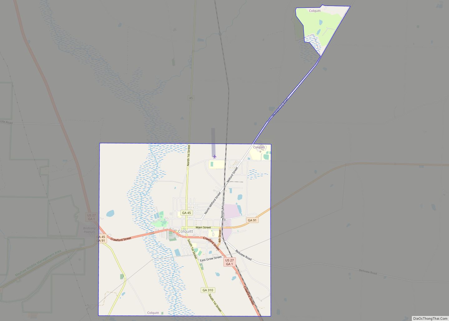
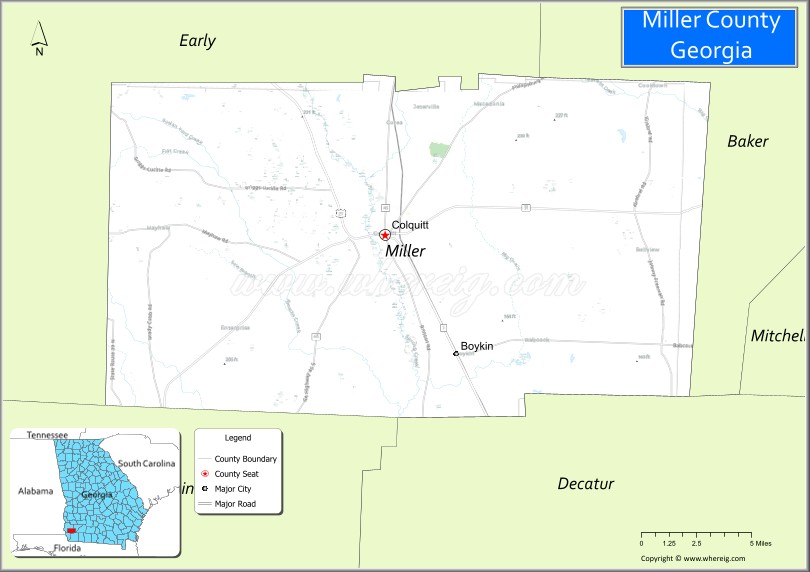
| Seat: | Colquitt |
| Largest city: | Colquitt |
| Total Area: | 284 sq mi (740 km²) |
| Land Area: | 282 sq mi (730 km²) |
| Total Population: | 6,000 |
| Population Density: | 21/sq mi (8/km²) |
| Time zone: | UTC−5 (Eastern) |
| Summer Time Zone (DST): | UTC−4 (EDT) |
| Website: | www.millercountyga.gov |
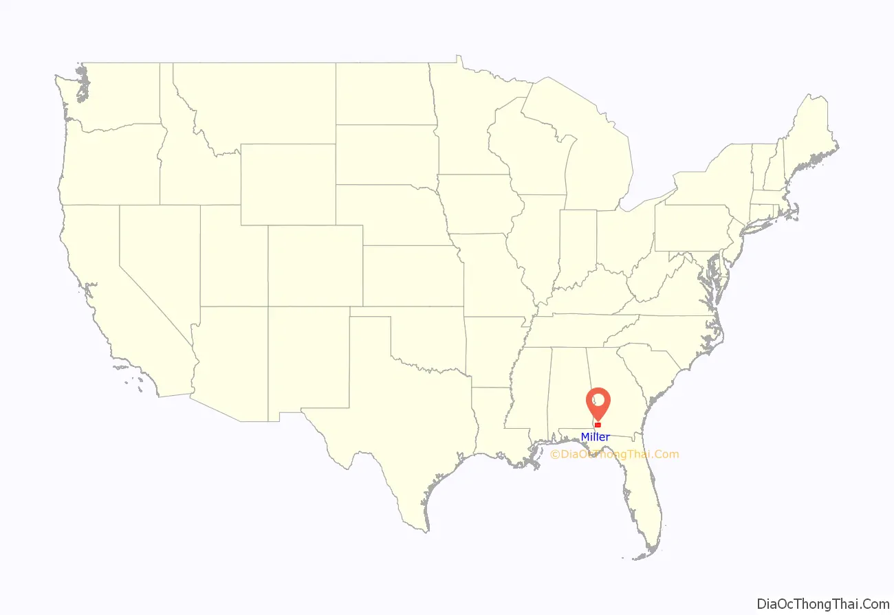
Miller County location map. Where is Miller County?
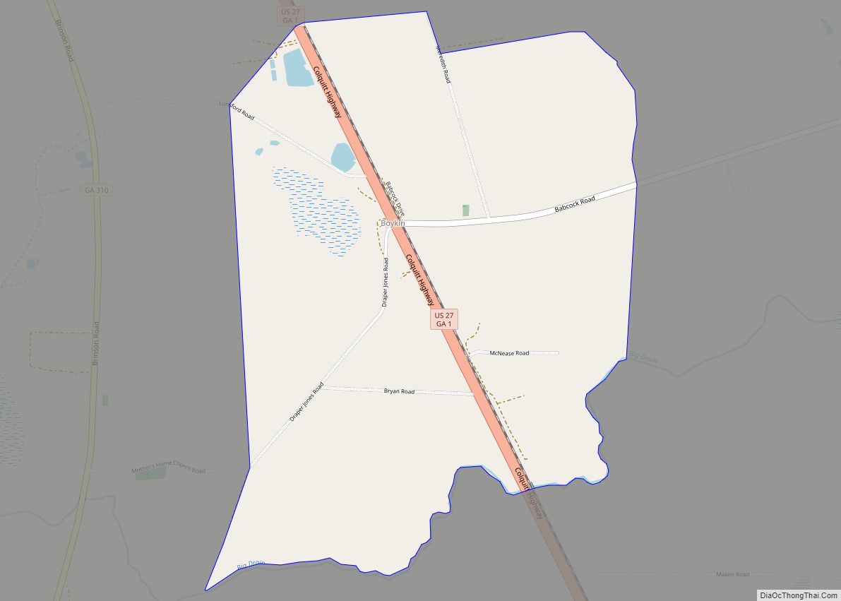
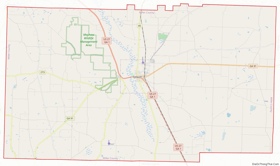
Miller County Road Map
Geography
According to the U.S. Census Bureau, the county has a total area of 284 square miles (740 km), of which 282 square miles (730 km) is land and 1.2 square miles (3.1 km) (0.4%) is water.
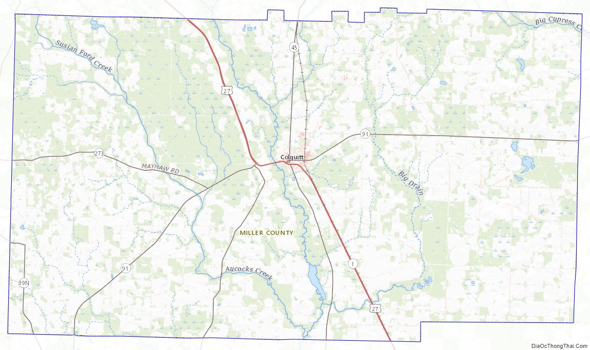
The majority of Miller County, west of a north-to-south line made as a continuation of the eastern Early County border, is located in the Spring Creek sub-basin of the ACF River Basin (Apalachicola-Chattahoochee-Flint River Basin). The county’s very northeastern corner is located in the Ichawaynochaway Creek sub-basin of the same ACF River Basin, while the southeastern portion, from just north of State Route 91 going south, is located in the Lower Flint River sub-basin of the same larger ACF River Basin.
Major highways
- U.S. Route 27
- State Route 1
- State Route 39
- State Route 45
- State Route 91
- State Route 91 Spur
- State Route 273
- State Route 310
Adjacent counties
- Baker County (northeast)
- Decatur County (southeast)
- Seminole County (southwest)
- Early County (northwest)
Miller County Topographic Map
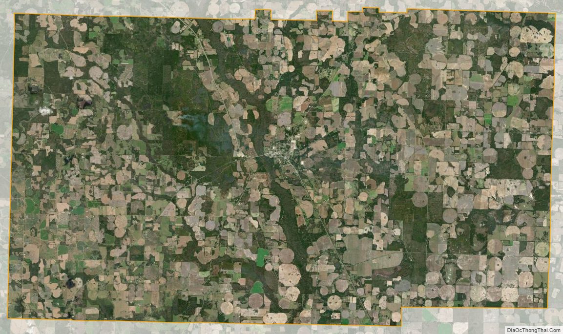
Miller County Satellite Map
Miller County Outline Map