Seminole County is a county located in the southwestern corner of U.S. state of Georgia. As of the 2020 census, the population was 9,147. The county seat is Donalsonville.
| Name: | Seminole County |
|---|---|
| FIPS code: | 13-253 |
| State: | Georgia |
| Founded: | 1920 |
| Named for: | Seminole tribe |
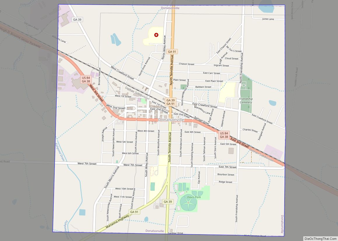
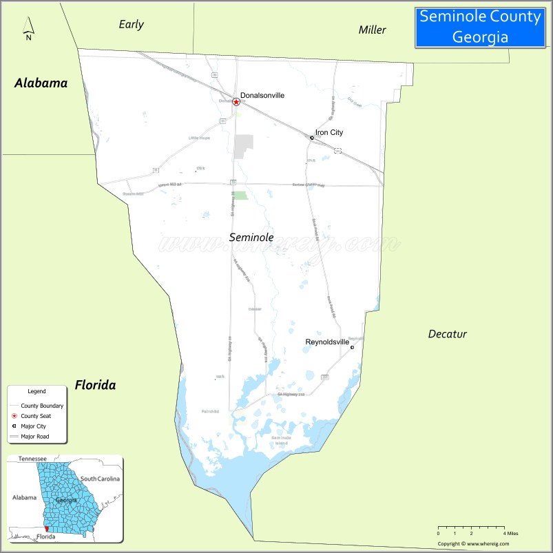
| Seat: | Donalsonville |
| Largest city: | Donalsonville |
| Total Area: | 257 sq mi (670 km²) |
| Land Area: | 235 sq mi (610 km²) |
| Total Population: | 9,147 |
| Population Density: | 39/sq mi (15/km²) |
| Time zone: | UTC−5 (Eastern) |
| Summer Time Zone (DST): | UTC−4 (EDT) |
| Website: | www.seminolecountyga.com |
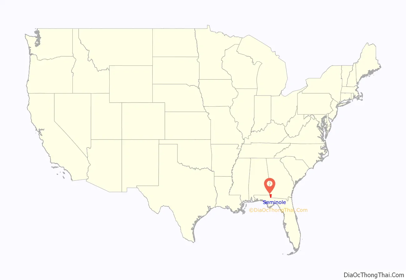
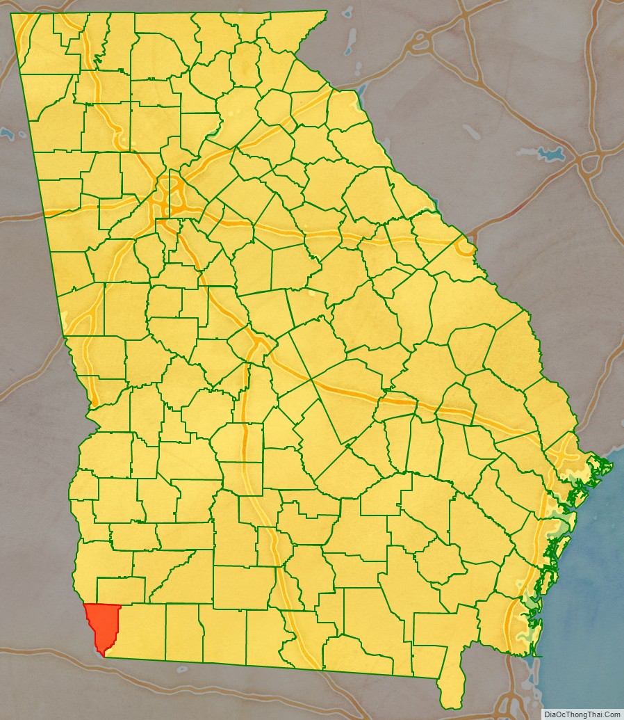
Seminole County location map. Where is Seminole County?
History
The state constitutional amendment to create the county was proposed July 8, 1920, and ratified November 2. The area for the new county was taken from land which was originally part of Decatur and Early counties. It is named for the Seminole tribe of Native Americans, who once lived in the Chattahoochee River basin within the county, before European settlement forced their move to the Florida Everglades. According to legend, thecelebrated Seminole chief Osceola was born in what is today Seminole County.
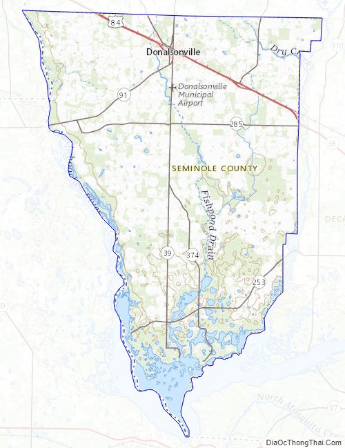
Seminole County Road Map
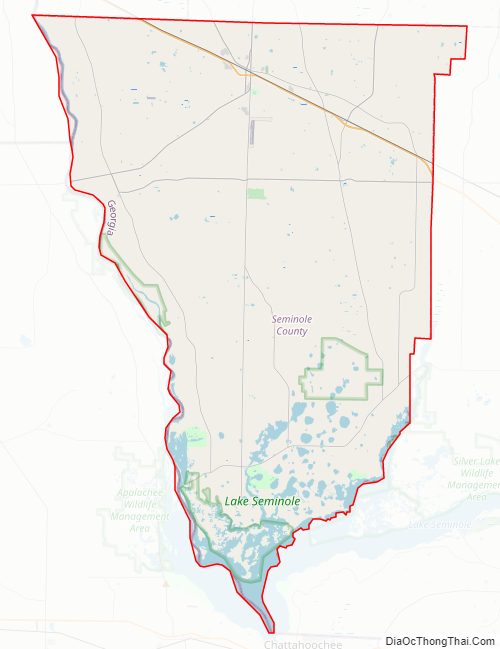
Geography
According to the U.S. Census Bureau, the county has a total area of 257 square miles (670 km), of which 235 square miles (610 km) is land and 21 square miles (54 km) (8.3%) is water.
The bulk of Seminole County is located in the Spring Creek sub-basin of the ACF River Basin (Apalachicola-Chattahoochee-Flint River Basin). The county’s entire western border with Florida is located in the Lower Chattahoochee River sub-basin of the same ACF River Basin. A tiny southeastern corner of Seminole County, all part of Lake Seminole, is located in the Lower Flint River sub-basin of the same larger ACF River Basin. It is the only county in Georgia that borders both Alabama and Florida.
Major highways
- U.S. Route 84
- State Route 38
- State Route 39
- State Route 45
- State Route 91
- State Route 91 Alternate
- State Route 253
- State Route 285
- State Route 374
Adjacent counties
- Miller County (northeast)
- Decatur County (east)
- Jackson County, Florida (southwest)
- Houston County, Alabama (northwest)
- Early County (north-northwest)
Seminole County Topographic Map
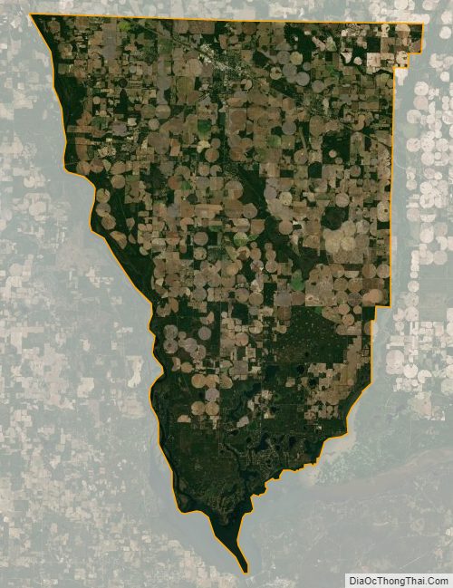
Seminole County Satellite Map
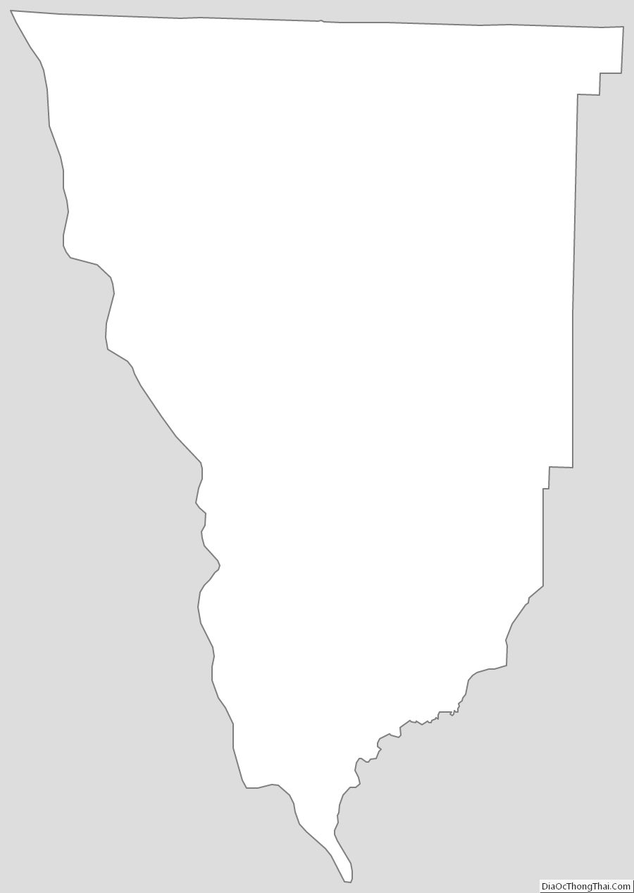
Seminole County Outline Map