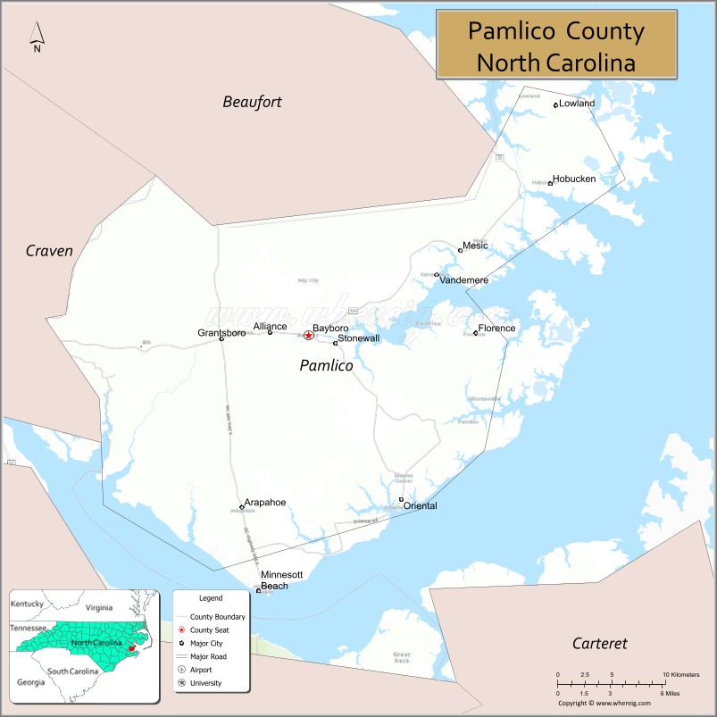
Pamlico (/ˈpæmlɪkoʊ/) County is a county located in the U.S. state of North Carolina. As of the 2020 census, the population was 12,276. Its county seat is Bayboro.
Pamlico County is part of the New Bern, NC Metropolitan Statistical Area.
| Name: | Pamlico County |
|---|---|
| FIPS code: | 37-137 |
| State: | North Carolina |
| Founded: | 1872 |
| Named for: | Pamlico Indians |
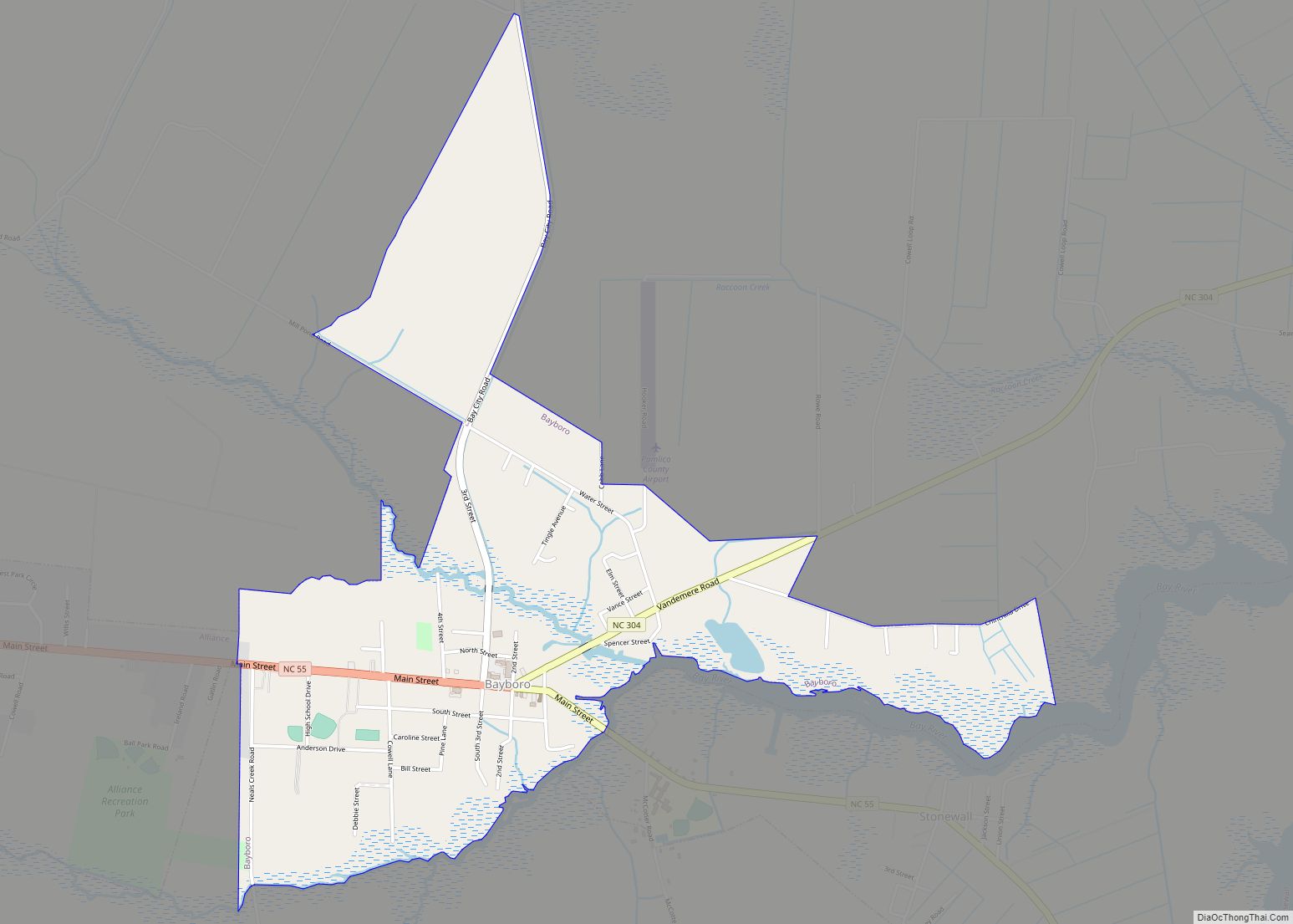
| Seat: | Bayboro |
| Largest town: | Bayboro |
| Total Area: | 567 sq mi (1,470 km²) |
| Land Area: | 337 sq mi (870 km²) |
| Total Population: | 12,344 |
| Population Density: | 36.6/sq mi (14.1/km²) |
| Time zone: | UTC−5 (Eastern) |
| Summer Time Zone (DST): | UTC−4 (EDT) |
| Website: | www.pamlicocounty.org |
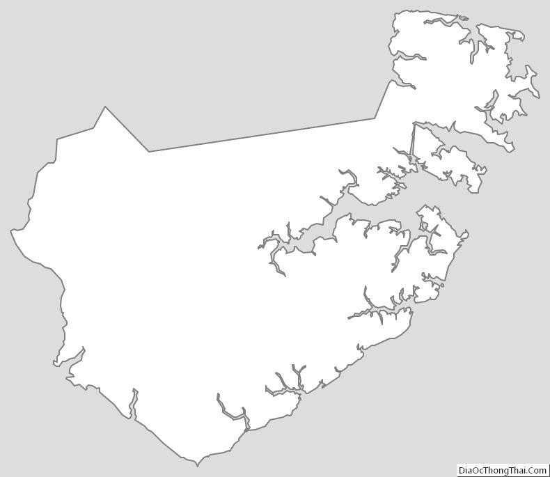
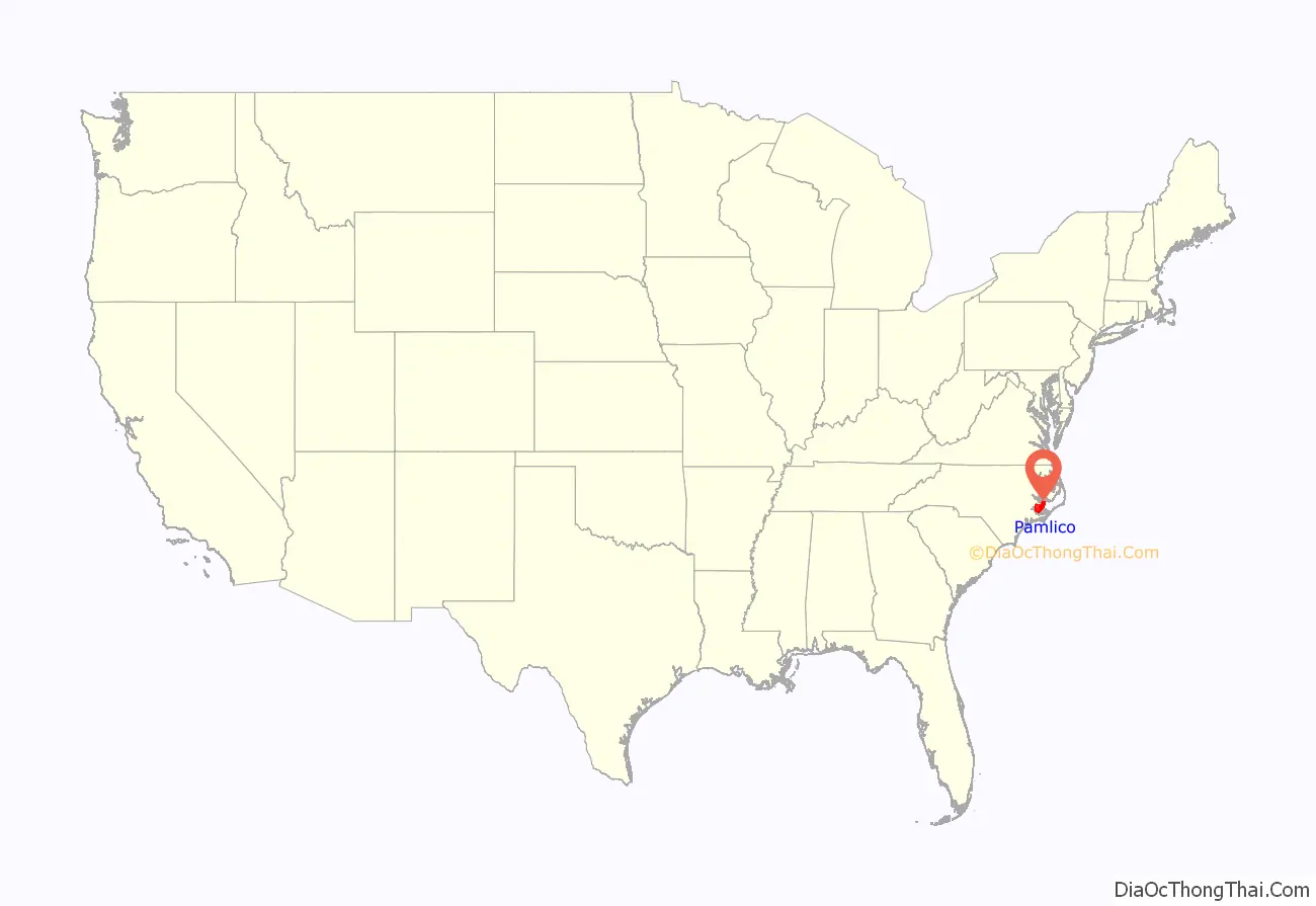
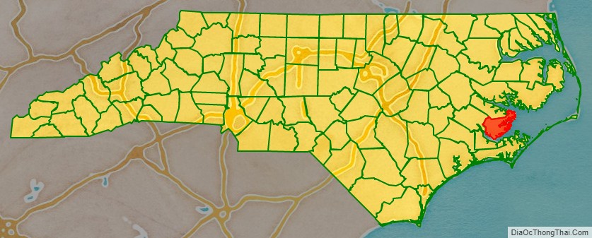
Pamlico County location map. Where is Pamlico County?
History
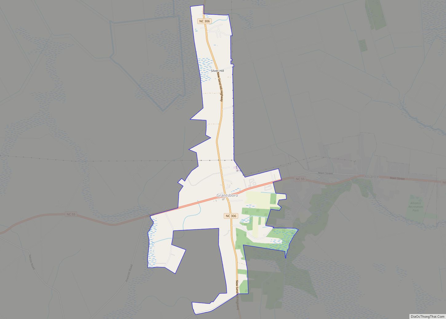
The county was formed in 1872 from parts of Beaufort and Craven counties. It was named for Pamlico Sound, which adjoins it. Vernacular usage in the area, especially in Craven County, refers to Pamlico County as being “down in the county.” Prior to 1872, it was a part of Craven County and has a very low elevation. Most of the county, according to FRIS, North Carolina Flood Risk Information System, is subject to flooding in storm surges. After it was separated from Craven, the old nickname survives. Pamlico County remains rural in character and flavor, although the last decade has brought a good deal of residential development, largely the result of northern retirees and investors attracted to the many miles of waterfront property.
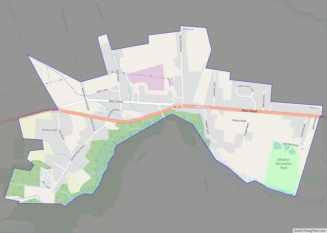
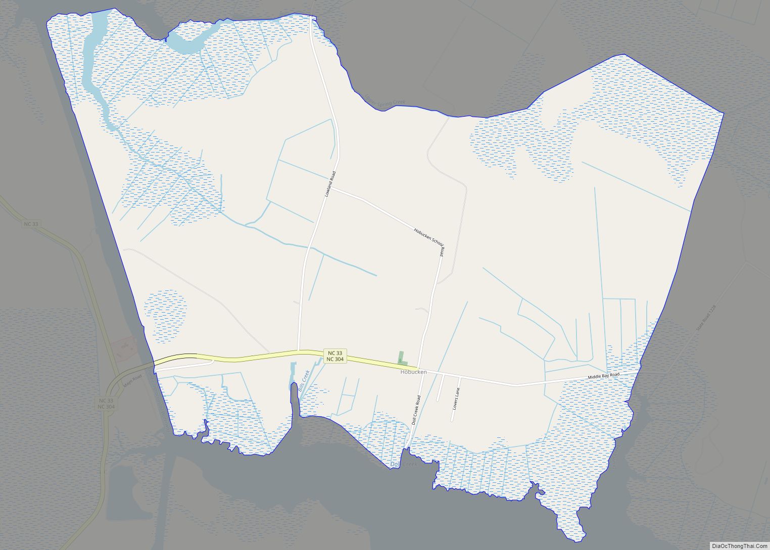
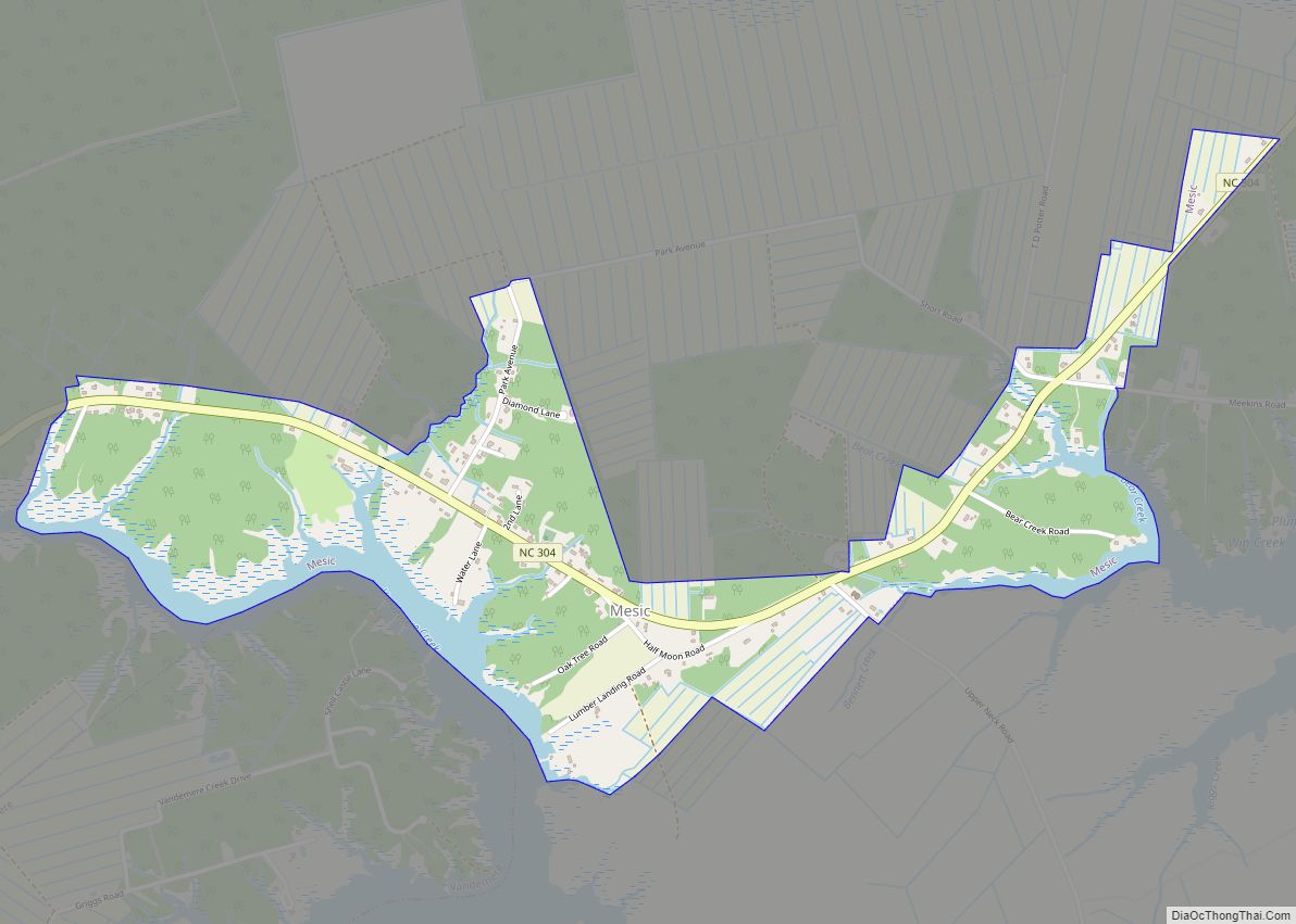
The county is anchored on the east by the Town of Oriental, a popular waystation for boaters traveling the Intracoastal Waterway, and by unincorporated Lowland. New Bern across the county line in Craven County to the west, is the primary trade area for Pamlico County. The unincorporated community of Olympia is in the western county.
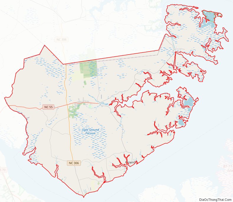
Pamlico County Road Map
Geography
According to the U.S. Census Bureau, the county has a total area of 567 square miles (1,470 km), of which 337 square miles (870 km) is land and 230 square miles (600 km) (41%) is water.
State and local protected area
- Goose Creek Game Land (part)
Major water bodies
- Bay River
- Goose Creek
- Intracoastal Waterway
- Neuse River
- Pamlico River
Adjacent counties
- Beaufort County – north
- Hyde County – northeast
- Carteret County – southeast
- Craven County – southwest
Major highways
- NC 33
- NC 55
- NC 304
- NC 306
- NC 307
Major infrastructure
- Cherry Branch – Minnesott Beach Ferry (To Craven County)
Pamlico County Topographic Map
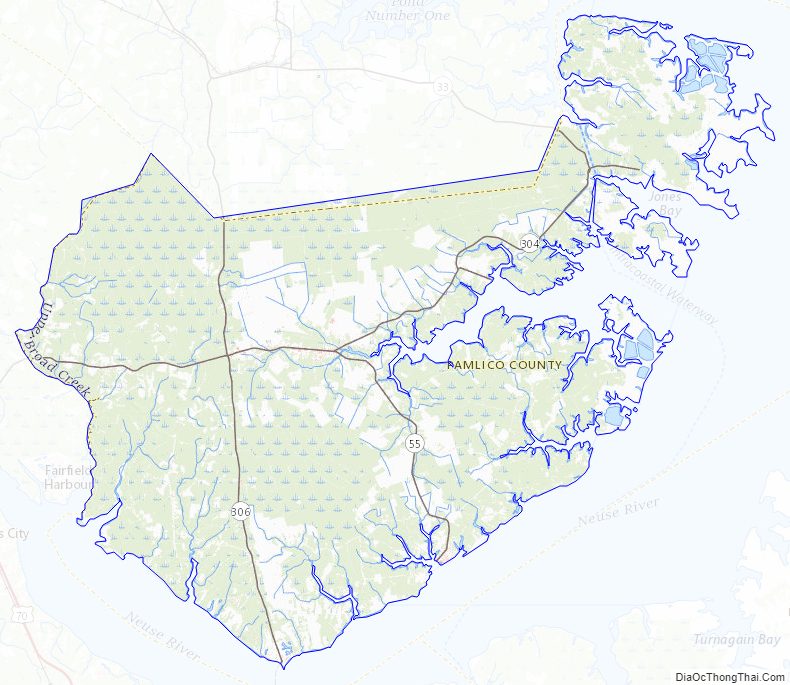
Pamlico County Satellite Map

Pamlico County Outline Map