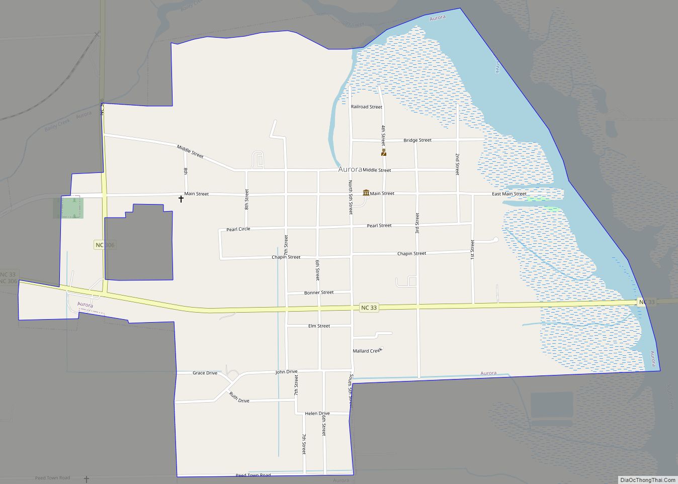
Beaufort County is a county located in the U.S. state of North Carolina. As of the 2020 census, the population was 44,652. Its county seat is Washington. The county was founded in 1705 as Pamptecough Precinct. Originally included in Bath County, it was renamed Beaufort Precinct in 1712 and became Beaufort County in 1739.
| Name: | Beaufort County |
|---|---|
| FIPS code: | 37-013 |
| State: | North Carolina |
| Founded: | 1712 |
| Named for: | Henry, Duke of Beaufort |
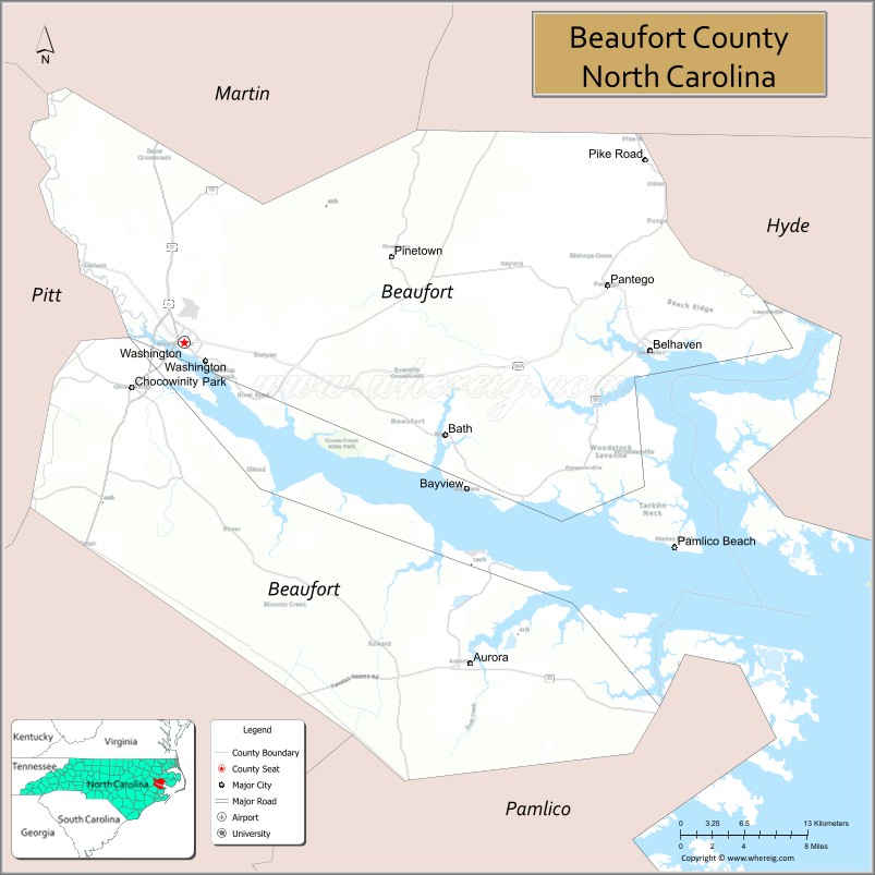
| Seat: | Washington |
| Largest city: | Washington |
| Total Area: | 958 sq mi (2,480 km²) |
| Land Area: | 827 sq mi (2,140 km²) |
| Total Population: | 44,468 |
| Population Density: | 53.8/sq mi (20.8/km²) |
| Time zone: | UTC−5 (Eastern) |
| Summer Time Zone (DST): | UTC−4 (EDT) |
| Website: | www.co.beaufort.nc.us |
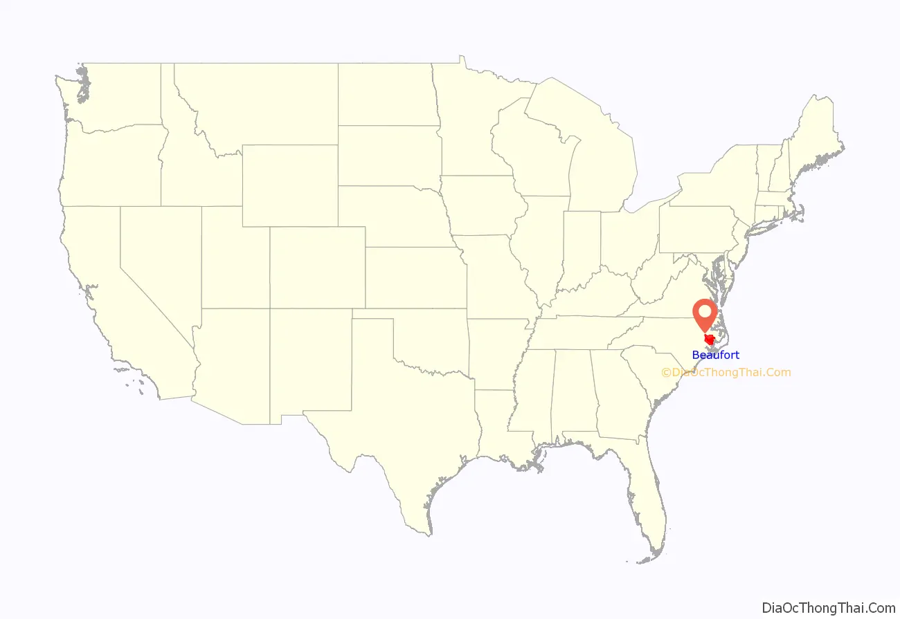
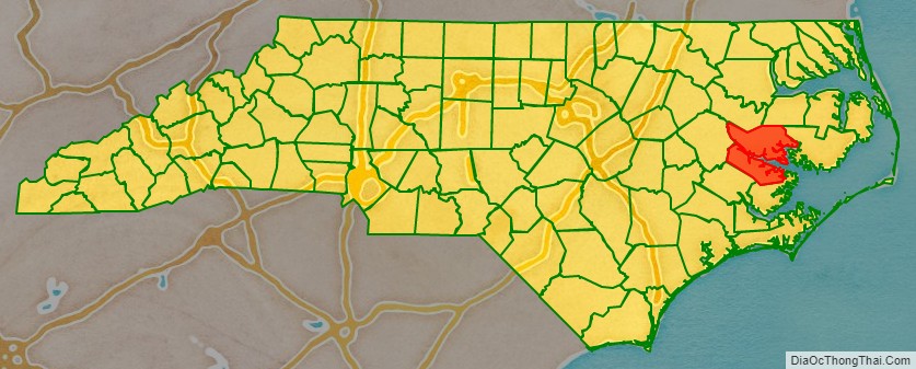
Beaufort County location map. Where is Beaufort County?
History
Beaufort County was first called Pamptecough. The name was changed about 1712 to Beaufort, named for Henry Somerset, 2nd Duke of Beaufort (1684–1714), who became one of Carolina’s Lords Proprietor around 1709.
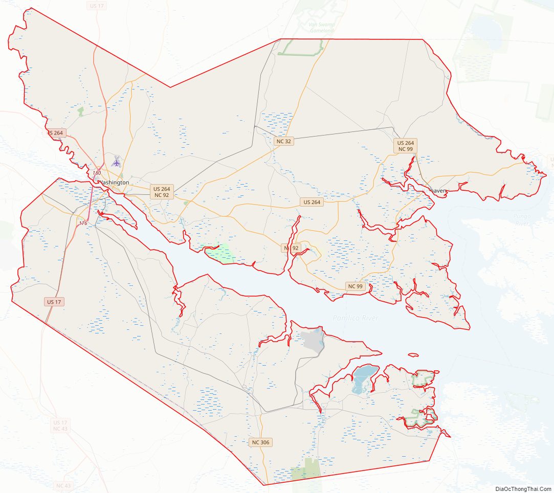
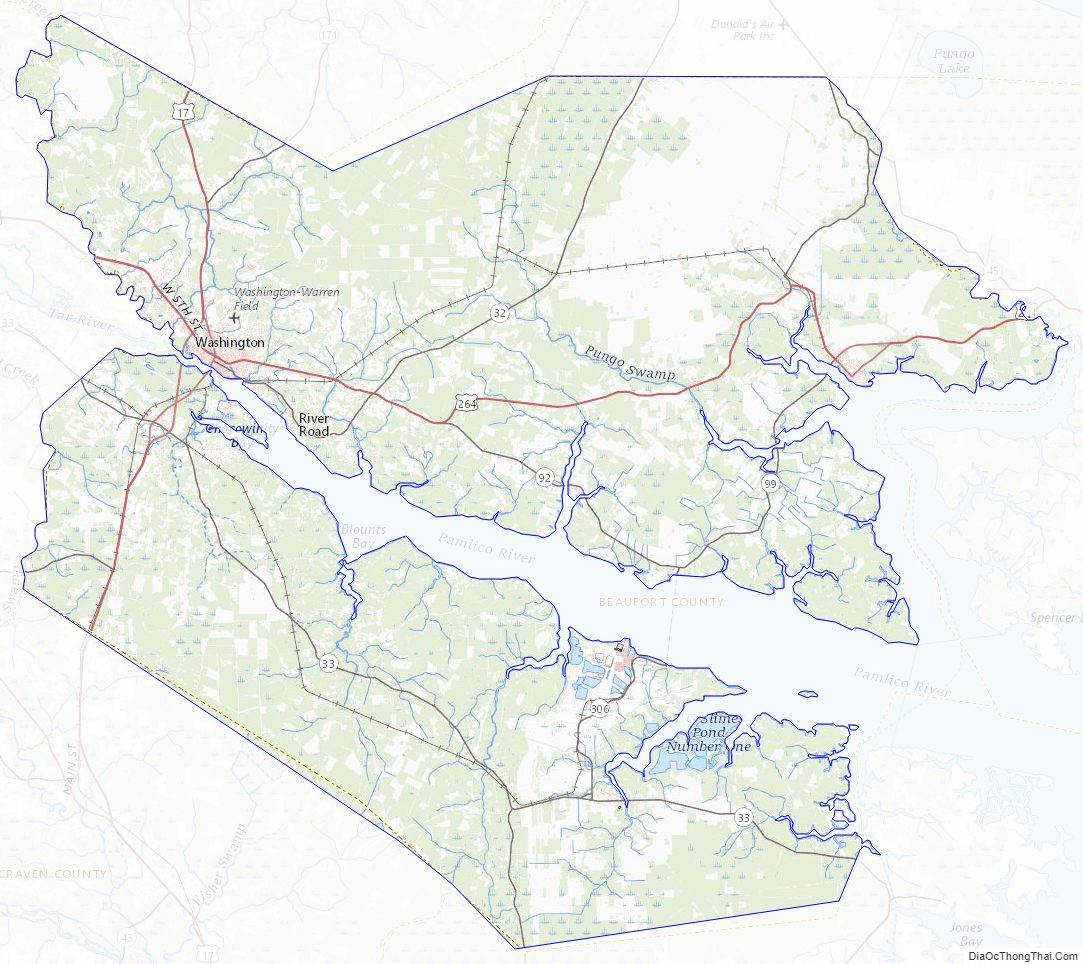
Beaufort County Road Map
Geography
According to the U.S. Census Bureau, the county has a total area of 958 square miles (2,480 km), of which 827 square miles (2,140 km) is land and 131 square miles (340 km) (14%) is water. It is the fifth-largest county in North Carolina by total area. It is split in half by the Pamlico River and the mouth of the Pamlico River.
State and local protected areas/sites
- Goose Creek Game Land (part)
- Goose Creek State Park
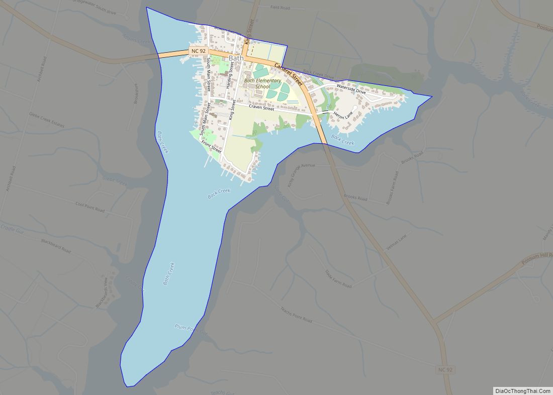
- Historic Bath
- Van Swamp Game Lands (part)
Major water bodies
- Goose Creek
- Intracoastal Waterway
- Pamlico River
- Pungo River
- South River
- Tar River
Adjacent counties
- Washington County – northeast
- Martin County – northwest
- Hyde County – east
- Pamlico County – south
- Craven County – southwest
- Pitt County – west
Major highways
- US 17
- US 17 Bus.
- US 264
- US 264 Bus.
- NC 32
- NC 33
- NC 45
- NC 92
- NC 99
- NC 102
- NC 171
- NC 306
Major infrastructure
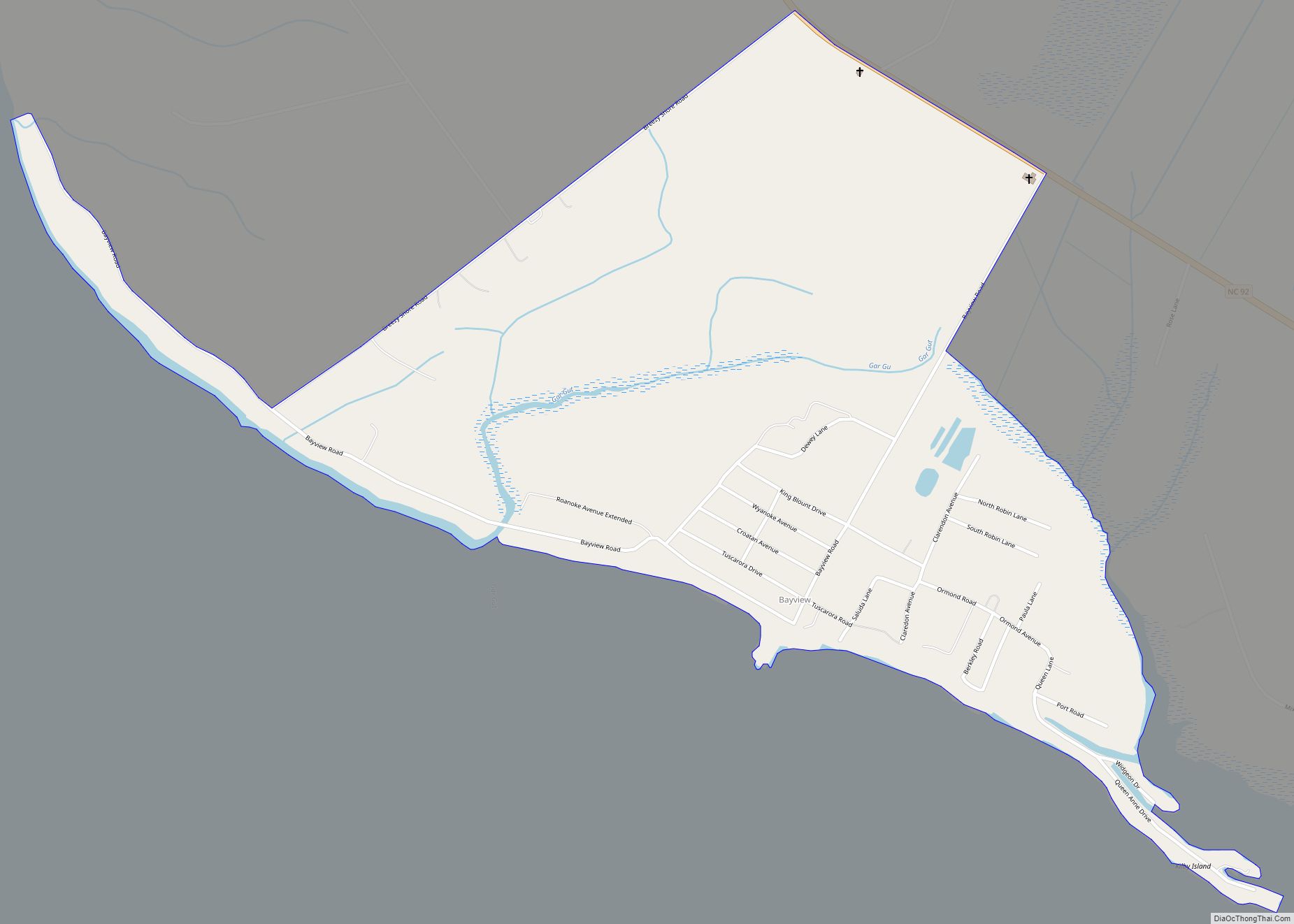
- Bayview – Aurora Ferry
- Washington – Warren Field Airport (OCW)
Beaufort County Topographic Map
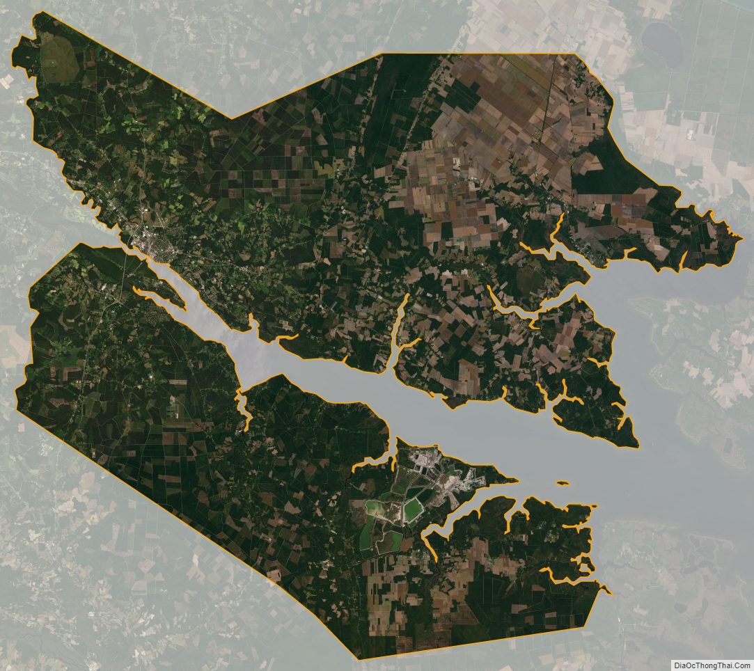
Beaufort County Satellite Map
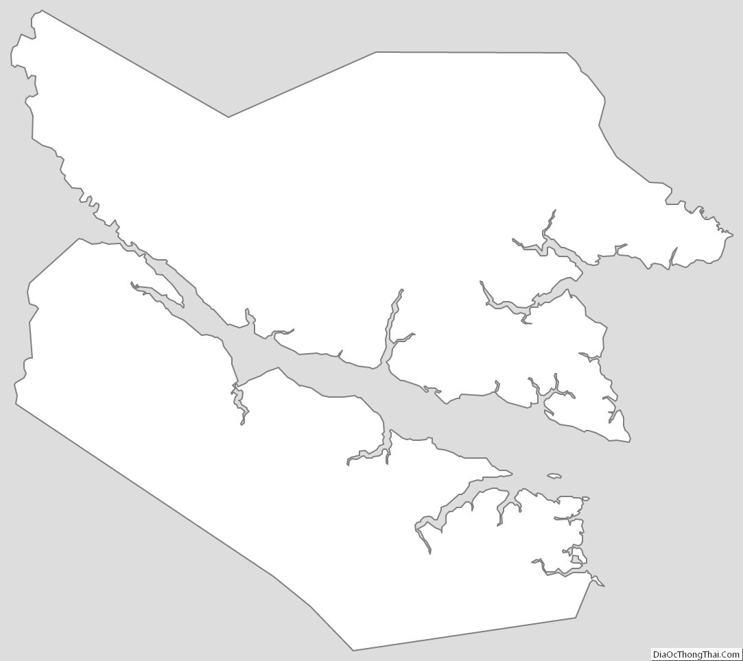
Beaufort County Outline Map