Perkins County is a county located in the U.S. state of Nebraska. As of the 2010 United States Census, the population was 2,970. Its county seat is Grant.
In the Nebraska license plate system, Perkins County is represented by the prefix 74 (it had the seventy-fourth-largest number of vehicles registered in the county when the license plate system was established in 1922).
| Name: | Perkins County |
|---|---|
| FIPS code: | 31-135 |
| State: | Nebraska |
| Founded: | 1887 |
| Named for: | Charles Elliott Perkins |
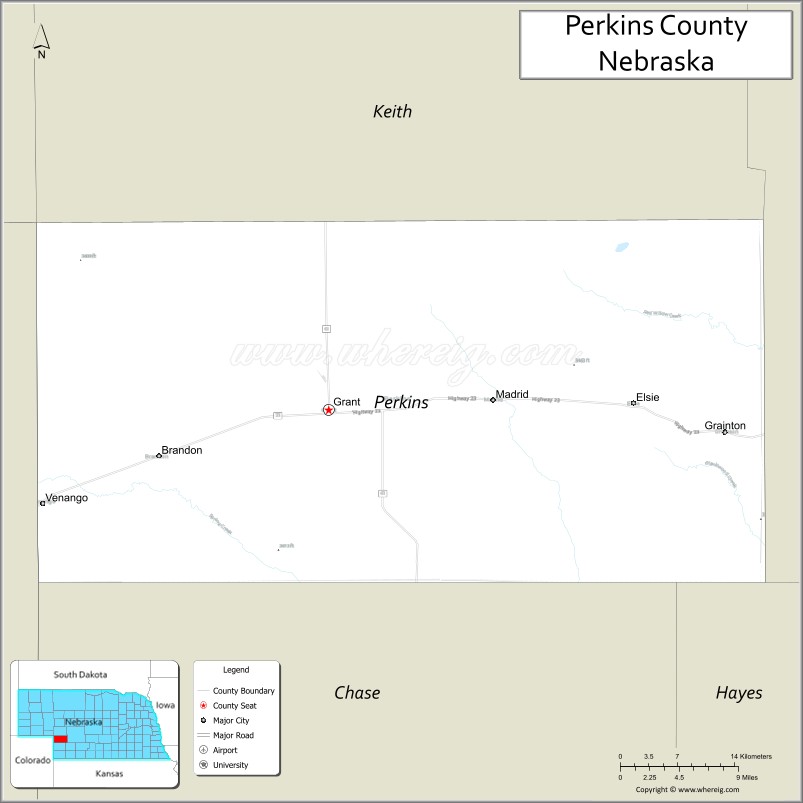
| Seat: | Grant |
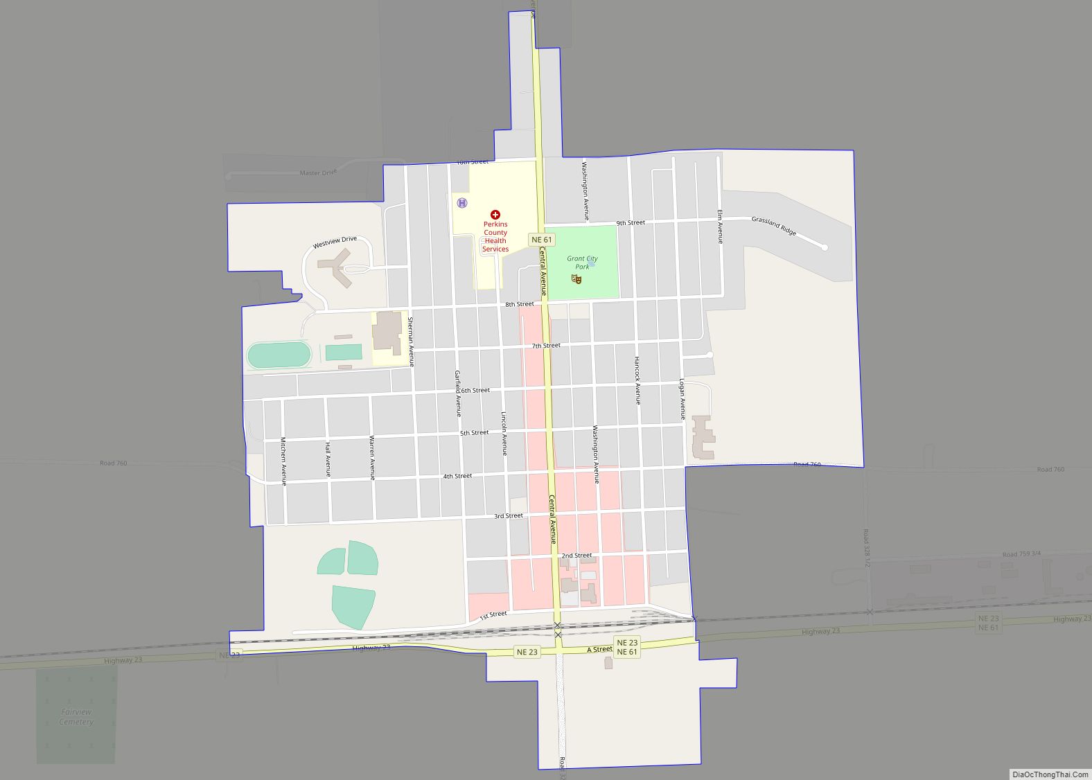
| Largest city: | Grant |
| Total Area: | 884 sq mi (2,290 km²) |
| Land Area: | 883 sq mi (2,290 km²) |
| Total Population: | 2,832 |
| Population Density: | 3.3/sq mi (1.3/km²) |
| Time zone: | UTC−7 (Mountain) |
| Summer Time Zone (DST): | UTC−6 (MDT) |
| Website: | www.co.perkins.ne.us |
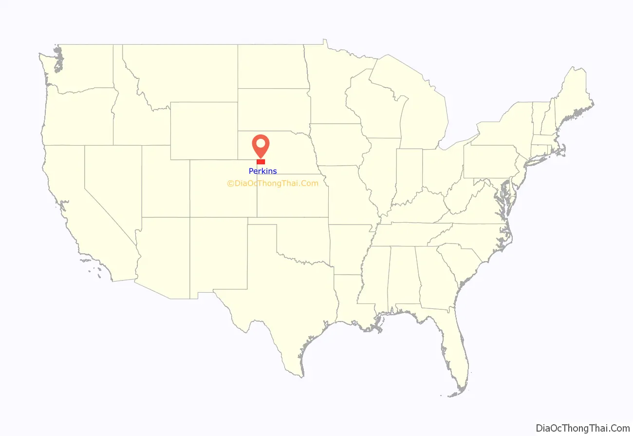
Perkins County location map. Where is Perkins County?
History
Perkins County was organized in 1887. It is believed to have been named for Charles E. Perkins, the president of the Chicago, Burlington and Quincy Railroad.
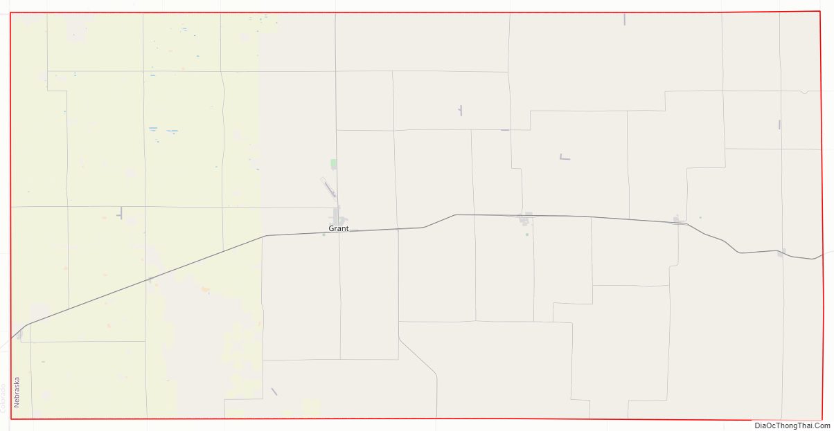
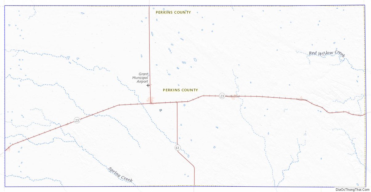
Perkins County Road Map
Geography
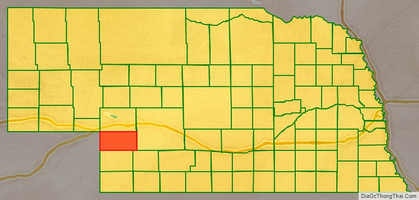
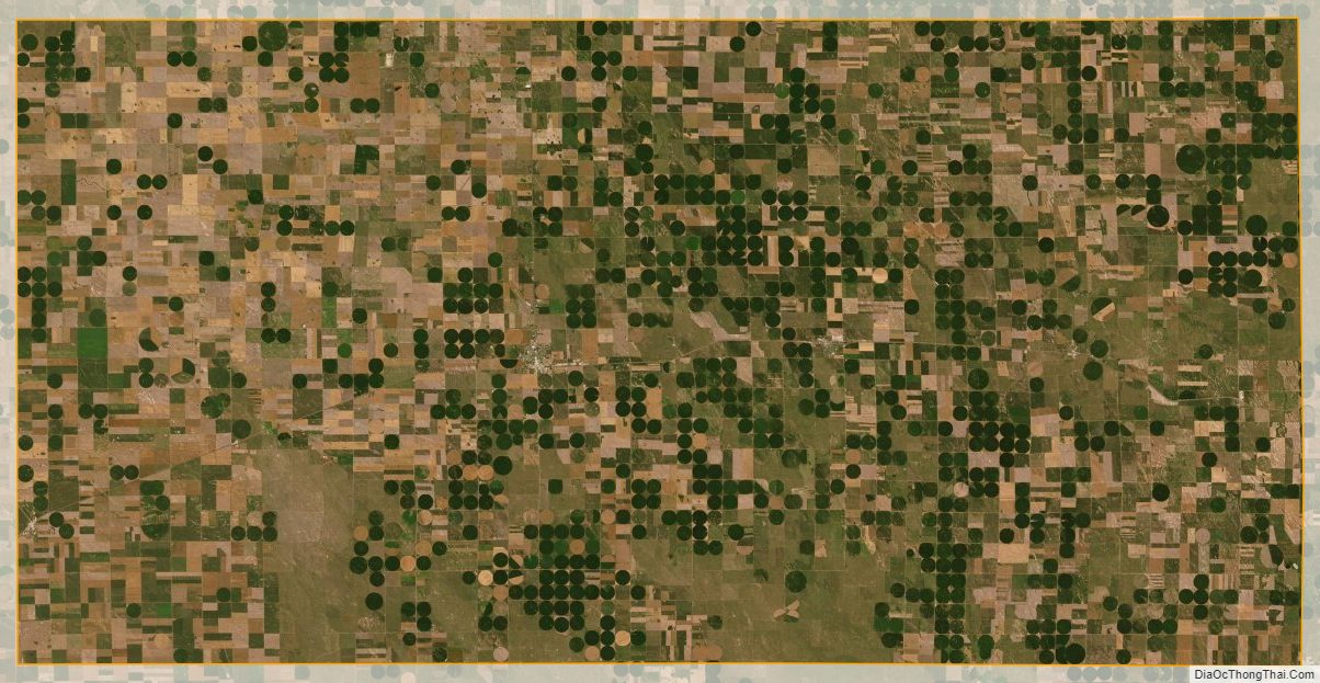
Perkins County lies on the southwest side of Nebraska. Its west boundary line abuts the east boundary line of the state of Colorado. The county terrain consists of arid, low rolling hills. The planar areas are used for agriculture, usually employing center pivot irrigation. The land slopes to the southeast.
The county has an area of 884 square miles (2,290 km), of which 883 square miles (2,290 km) is land and 1.1 square miles (2.8 km) (0.1%) is water.
Most of Nebraska’s 93 counties (the eastern 2/3) observe Central Time; the western counties (including Perkins) observe Mountain Time. Perkins County is the easternmost of the Nebraska counties to observe Mountain Time.
Major highways
- Nebraska Highway 23
- Nebraska Highway 61
Adjacent counties
- Lincoln County – east (observes Central Time)
- Hayes County – southeast (observes Central Time)
- Chase County – south
- Phillips County, Colorado – southwest
- Sedgwick County, Colorado – west
- Deuel County – northwest
- Keith County – north
Perkins County Topographic Map
Perkins County Satellite Map
Perkins County Outline Map