Phillips County is a county located in the U.S. state of Colorado. As of the 2020 census, the population was 4,530. The county seat is Holyoke. The county was named in honor of R.O. Phillips, a secretary of the Lincoln Land Company, who organized several towns in Colorado.
| Name: | Phillips County |
|---|---|
| FIPS code: | 08-095 |
| State: | Colorado |
| Founded: | March 27, 1889 |
| Named for: | R.O. Phillips |
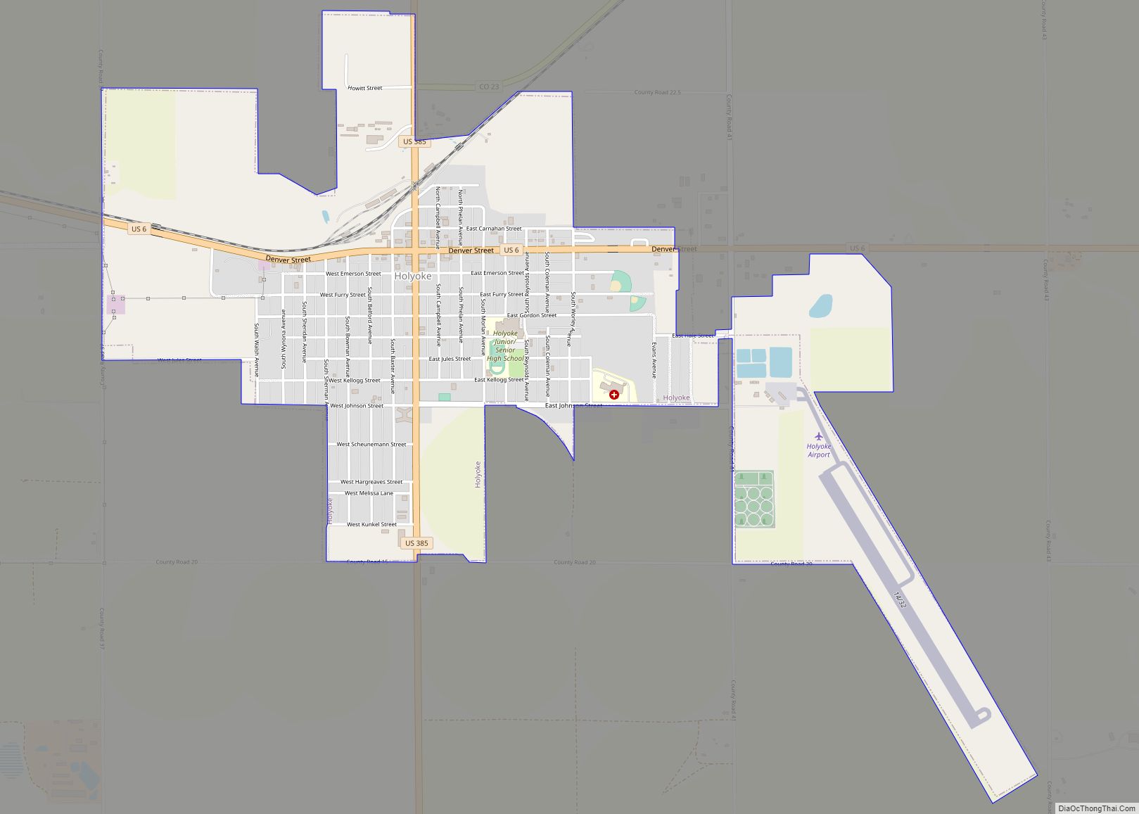
| Seat: | Holyoke |
| Largest city: | Holyoke |
| Total Area: | 688 sq mi (1,780 km²) |
| Land Area: | 688 sq mi (1,780 km²) |
| Total Population: | 4,512 |
| Population Density: | 6.6/sq mi (2.5/km²) |
| Time zone: | UTC−7 (Mountain) |
| Summer Time Zone (DST): | UTC−6 (MDT) |
| Website: | phillipscounty.colorado.gov |
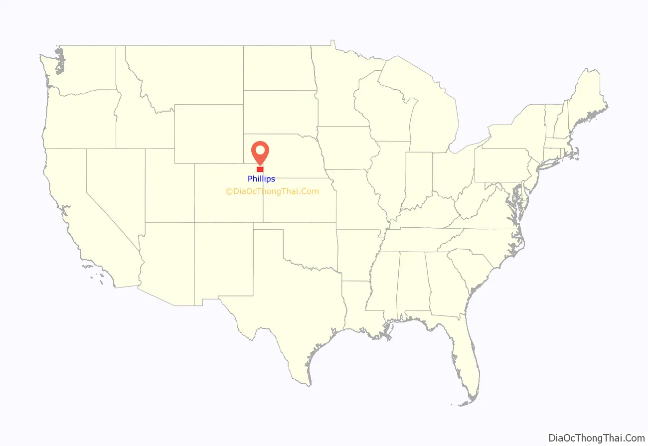
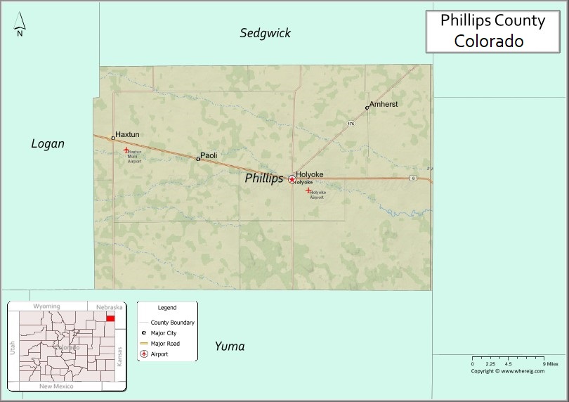
Phillips County location map. Where is Phillips County?

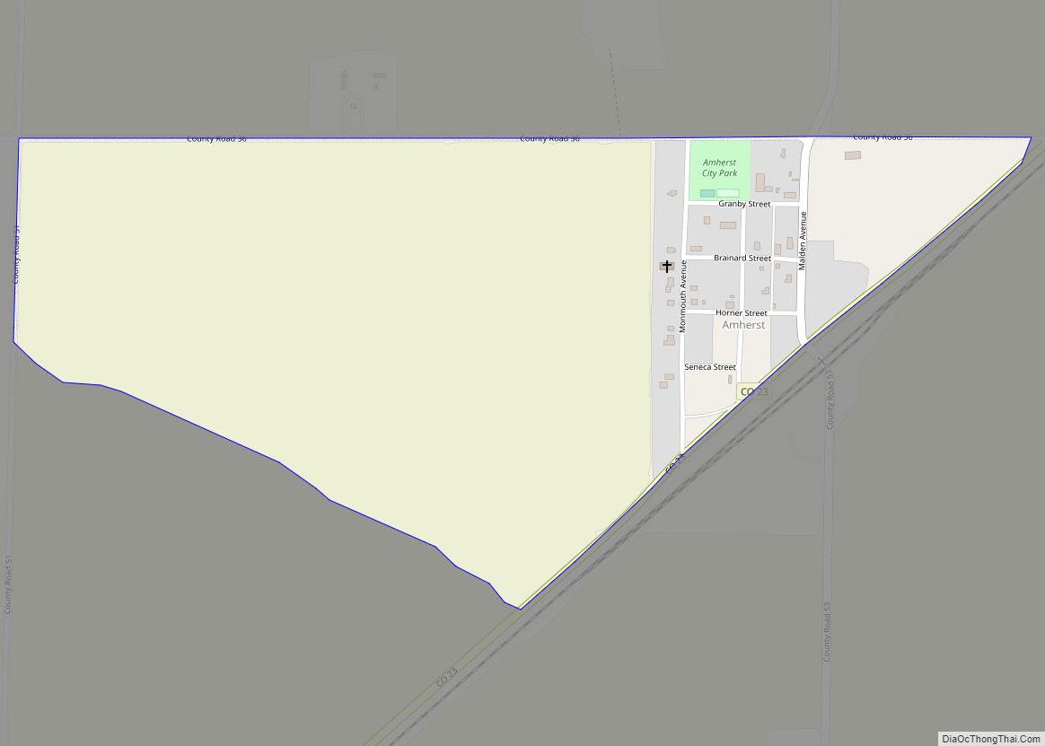
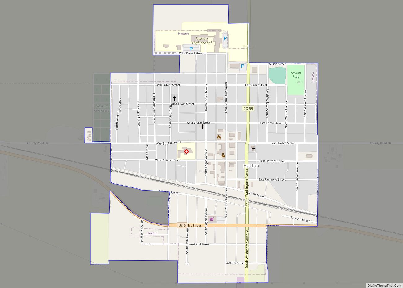
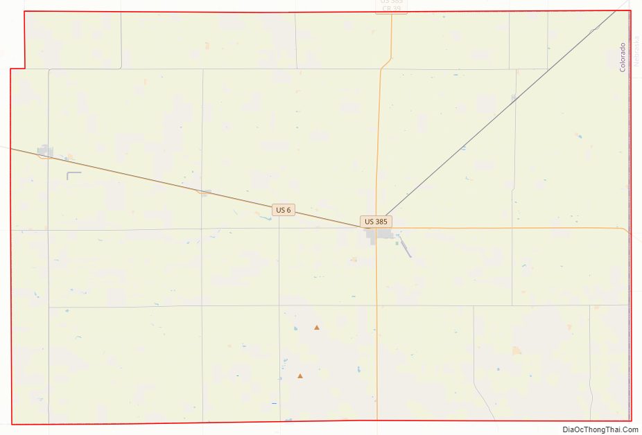
Phillips County Road Map
Geography
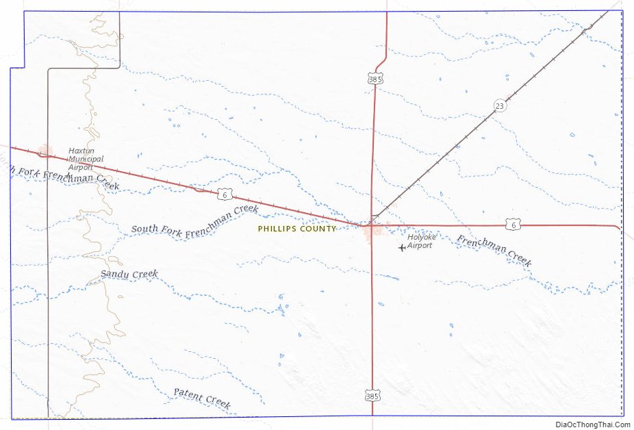
According to the U.S. Census Bureau, the county has a total area of 688 square miles (1,780 km), of which 688 square miles (1,780 km) is land and 0.1 square miles (0.26 km) (0.02%) is water.
Adjacent counties
- Sedgwick County—north
- Perkins County, Nebraska—northeast
- Chase County, Nebraska—east
- Yuma County—south
- Logan County—west
Major Highways
- U.S. Highway 6
- U.S. Highway 385
- State Highway 23
- State Highway 59
Phillips County Topographic Map
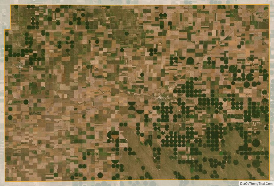
Phillips County Satellite Map
Phillips County Outline Map