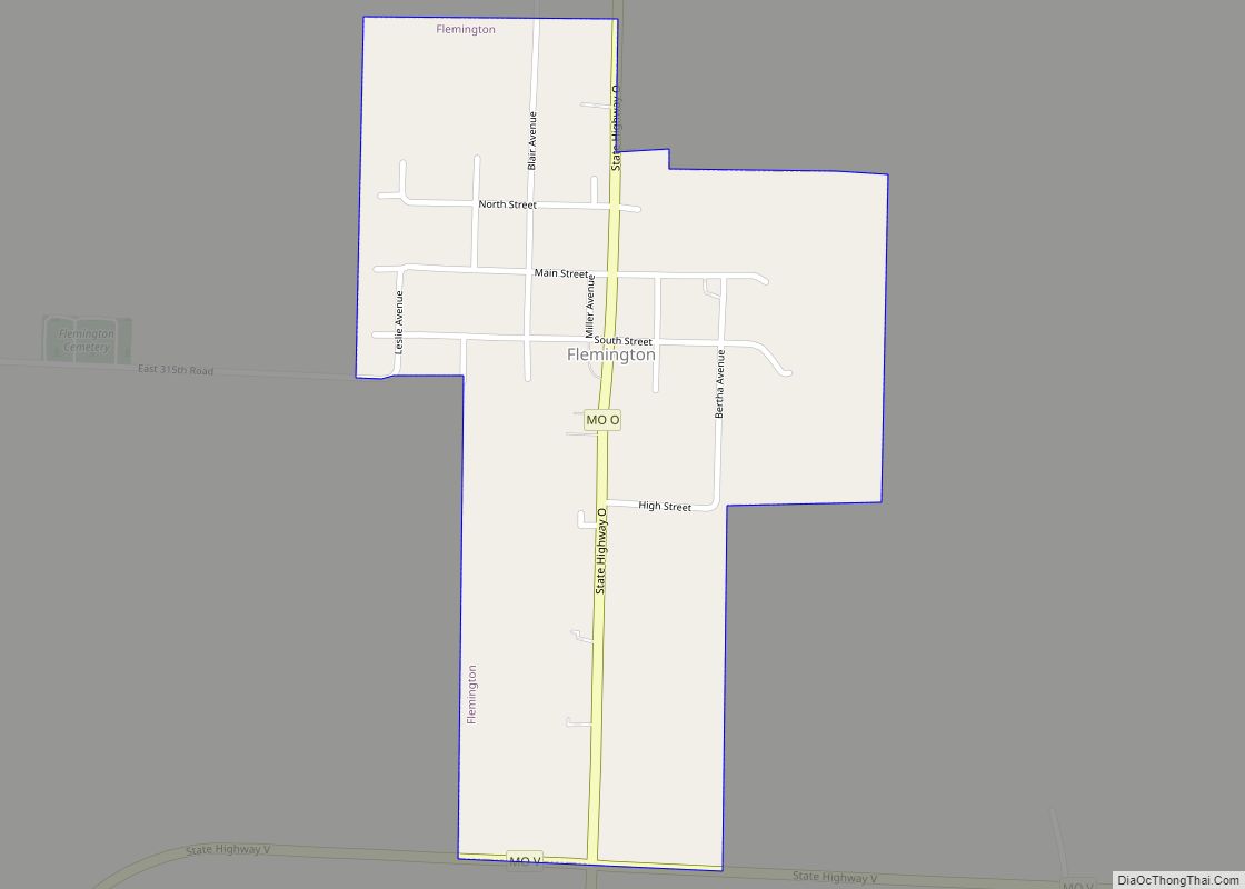
Polk County is a county located in the southwestern portion of the U.S. state of Missouri. As of the 2010 census, the population was 31,137. Its county seat is Bolivar. The county was organized January 5, 1835, and named for Ezekiel Polk.
Polk County is part of the Springfield, MO Metropolitan Statistical Area.
| Name: | Polk County |
|---|---|
| FIPS code: | 29-167 |
| State: | Missouri |
| Founded: | March 13, 1835 |
| Named for: | Ezekiel Polk |
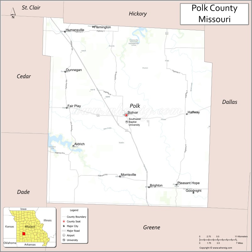
| Seat: | Bolivar |
| Largest city: | Bolivar |
| Total Area: | 642 sq mi (1,660 km²) |
| Land Area: | 636 sq mi (1,650 km²) |
| Total Population: | 31,137 |
| Population Density: | 49/sq mi (19/km²) |
| Time zone: | UTC−6 (Central) |
| Summer Time Zone (DST): | UTC−5 (CDT) |
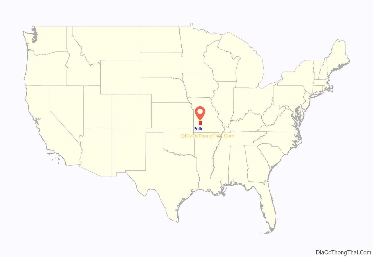
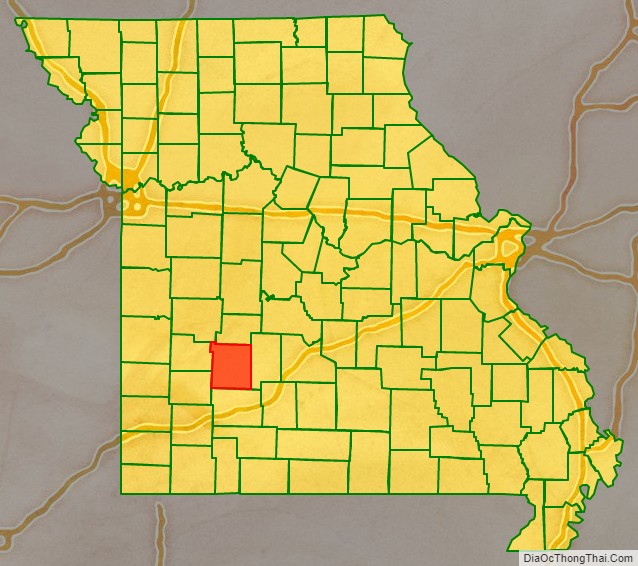
Polk County location map. Where is Polk County?
History
Polk County was separated and organized from Greene County on January 5, 1835. A supplement to the boundary change was made on March 13, 1835. Its original boundaries were later reduced in creating Dade, Dallas, and Hickory counties. It was named in honor of Col. Ezekiel Polk of Tennessee, a soldier who served under General George Washington and who was the grandfather of John Polk Campbell and Ezekiel Madison Campbell, brothers who helped to settle Polk and Greene counties. Ezekiel Polk was also the grandfather of James K. Polk, who was a member of the US House of Representatives in 1835. He was elected President of the United States in 1844.
Polk County Road Map
Geography
According to the U.S. Census Bureau, the county has a total area of 642 square miles (1,660 km), of which 636 square miles (1,650 km) is land and 6.9 square miles (18 km) (1.1%) is water.
Adjacent counties
- Hickory County (north)
- Dallas County (east)
- Greene County (south)
- Dade County (southwest)
- Cedar County (west)
- St. Clair County (northwest)
Major highways
- Route 13
- Route 32
- Route 83
- Route 123
- Route 215
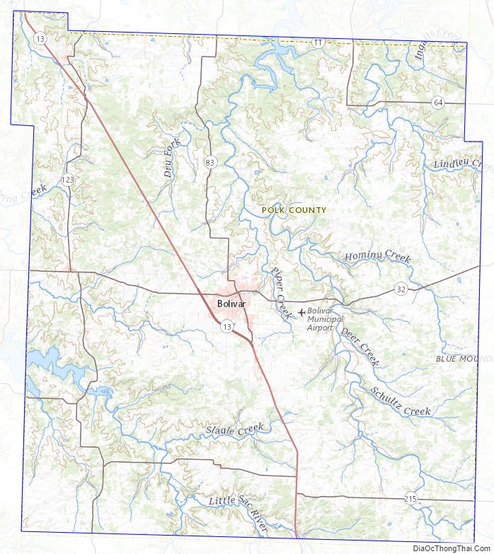
Polk County Topographic Map
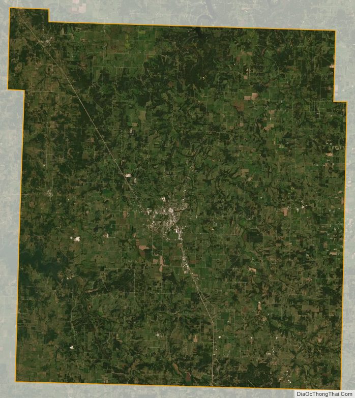
Polk County Satellite Map
Polk County Outline Map